Where We Walked @BodnantGardens @Wales #walks #photographs #holidays #memories

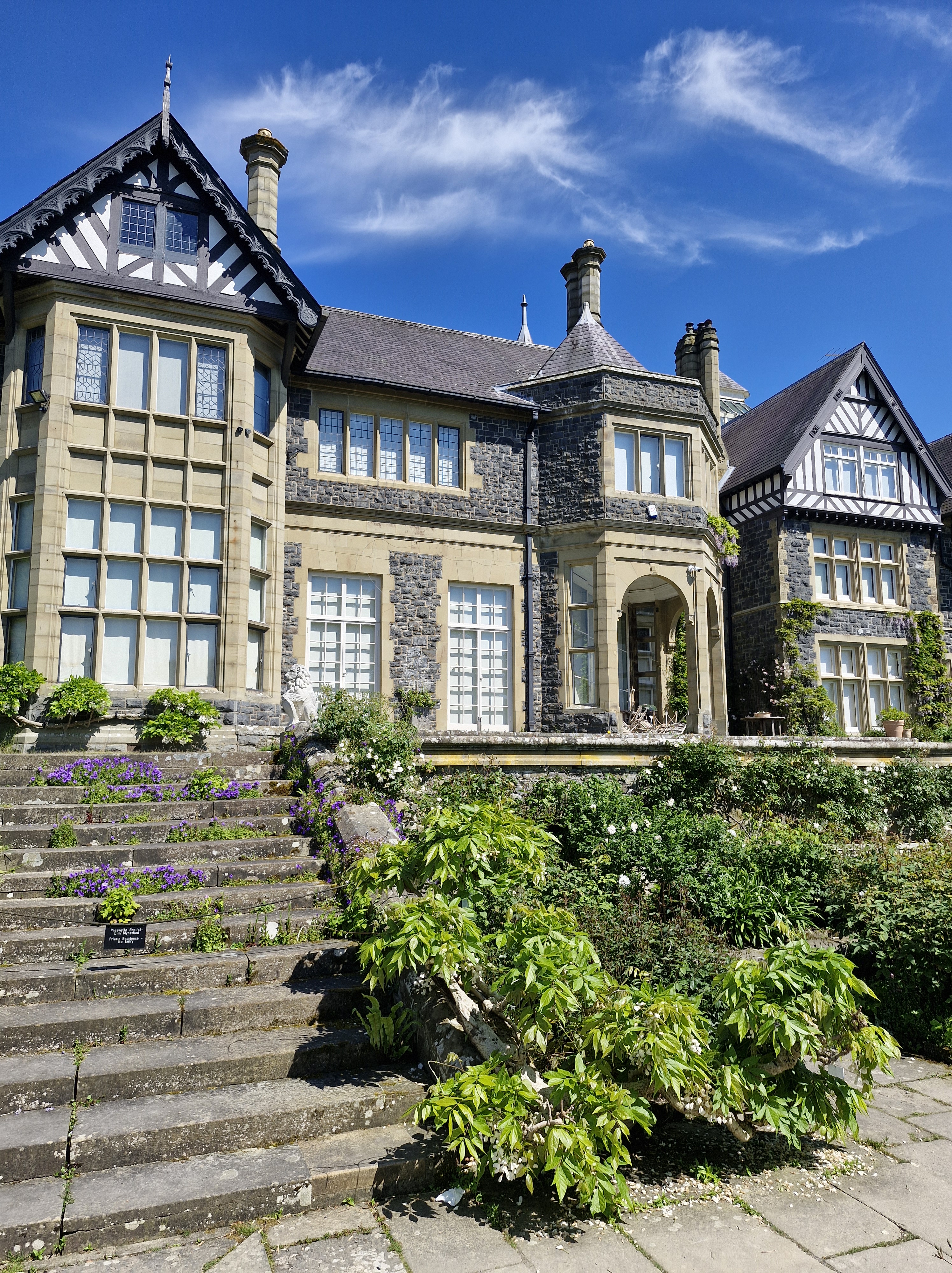
Our one leisurely day: Bodnant Gardens, which nestles in the Snowdonian foothills of North Wales, near Conwy. On a hot and sunny day it took us seven hours to walk around and savour the horticultural delights of the gardens and admire the buildings.

Bodnant (Welsh for ‘dwelling by a stream’) was home to the Lloyd family from the reign of James I until the mid 1700s when it passed to the Forbes family. The parkland was designed into the style of an English landscape, and the earlier house was replaced by an Italianate mansion in 1792, courtesy of Colonel Forbes. On his death in 1820 the estate passed to William Hanmer of Bettisfield Park in Flintshire who extended the garden around the mansion house between 1828 and 1837. In 1874 the estate was bought by Henry Davis Pochin, Victorian industrialist, and his wife. There’s an interesting post on the people of Bodnant here.

2024 marks seventy-five years since Bodnant Garden was gifted to the National Trust by Henry McLaren, The 2nd Lord Aberconway.

Our first glimpse of the gardens was through the wonderful and reknowned Laburnum Arch, a fifty-five metre-long avenue of golden flowers. It was created in Victorian times by Henry Davis Pochin in 1880. He employed Edward Milner, apprentice to Joseph Paxton (landscape gardener, designer of hothouses, and the architect of the Crystal Palace for the Great Exhibition of 1851 in London), to help design the formal garden around Bodnant Hall, including the Laburnum Arch, based on pergola walkways of the 16th and 17th centuries. It is believed to be the longest and oldest in Britain.

Rhododendrons are wild shrubs native to South-East Asia. They were first introduced to Bodnant Garden around 1900, many grown from original seed collected on expeditions in central China, sponsored by Bodnant’s owner, Henry Duncan McLaren the second Lord Aberconway). The plants flourished,producing some of the largest shrubs in the western hemisphere. Then some were hybridised to create varieties that were more compact, more richly coloured,with a longer flowering season. This is Rhododendron ‘Elizabeth’ a compact plant with vibrant pink flowers – the most famous of all the Bodnant hybrids and one that is today found in many domestic gardens. The gardeners at Bodnant are always searching to identify ‘lost’ varieties and propagate those under threat to ensure the future of the collection for many more years to come.

Two of the terraces have ponds, which are home to water lilies and a variety of wildlife (we saw ducks).

The borders on each of the five terraces are planted with careful consideration of the surrounding environment and are in keeping with the year of their creation. They are absolutely wonderful.

We also saw a Harlequin ladybird. These are about the same size as native ladybirds. They range in colour and pattern, but some of the most common forms are black with red spots, red with black spots and orange with black spots.Harlequins have attracted negative publicity since they were introduced in Britain 2004, but in reality they are nothing to worry about. They are known to reproduce quickly, gather in large swarms and compete with native ladybirds for aphids. They have shown signs of cannibalism, consuming the larvae and eggs of other ladybirds. But disease and predators are bringing the population under control. Harlequins can also carry an STD ( What?!) called laboulbenia. It is a fungus that forms little scales on the wing cases, and sometimes white crust on some parts of the exoskeleton, which can be seen with the naked eye. The STD also infects native ladybirds – the harlequin is simply another host for the fungus to live on. (the good news is humans cannot be infected. Sigh of relief!!)

I love reflections in water. The river runs throughout the gardens. Above is the Waterfall Bridge, with its vertical torrent of water on one side, and the calm, reflective pool on the other. Home to wildlife including kingfishers, dippers, heron and ducks. (and tadpoles, lots of tadpoles).

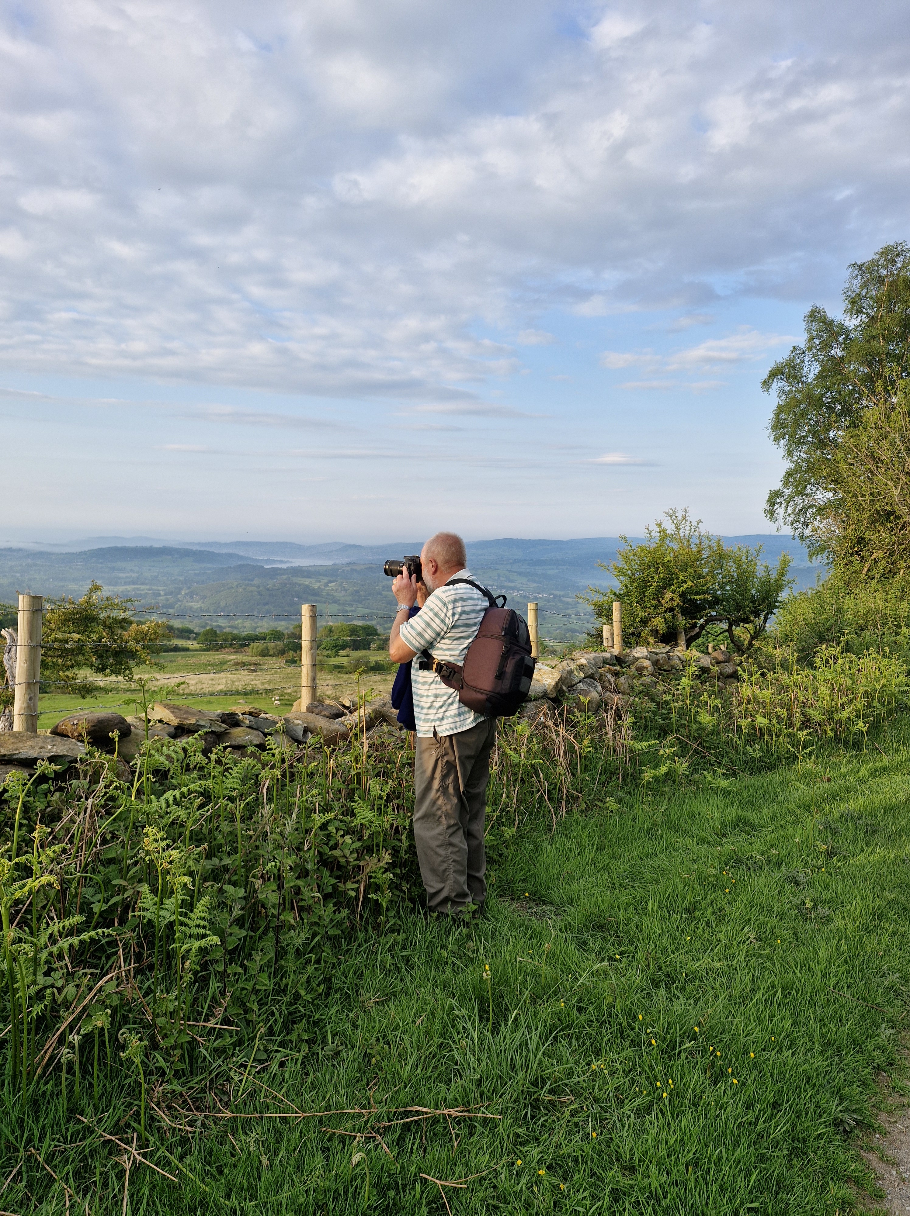
The photographer outside The Poem, a poetically-named mausoleum, built by Henry Davis Pochin. Located in an area of the Shrub Borders within the garden, The Poem is the McLaren family mausoleum. It sits on an outcrop of rock at the end of the valley known as the Dell.

The building below is the known as the Pin Mill. Originally built in 1730 as a gazebo at Woodchester, Gloucestershire, and later used as a pin mill and later still as a tannery, the building was moved to Bodnant gardens and reconstructed in 1938/9 as a pavilion at the south end of the canal terrace. The coat of arms on the building is of the family Surman or Shurmer whose connection with the building is a mystery. (One to solve sometime in the future)

The 2020 Sky Original adaptation of The Secret Garden, based on the classic 1910 novel by Frances Hodgson Burnettwas, was partly filmed in Bodnant Garden. The canopy of the cascading yellow flowers of the Laburnum Arch, the gnarled, fantasy-like woods and Italianate follies, all added to the sense of magic in the film. After a day walking around this glorious place, we could understand why Bodnant Gardens was chosen. It truly is one of, if not the best, National Trust gardens we’ve explored.

Where We Walked #Pen Y Gaer #Snowdon #Yr Wyddfa #Wales #walks #climbs #photographs #MondayBlogs #stiles #humour #holidays

“A lovely evening walk,” said the photographer. “With spectacular views.”

It was that last sentence that should have warned me before we set off, I thought as I climbed over the stile and looked upwards.

He’s such a clever clogs: climbing the stile one- handed and taking a video. Hmph!!

A little information here: Pen y Gaer is a mountain summit in the Snowdonia – Beddgelert to Conwy region in the county of Conwy, Wales. It’s the location of a Bronze Age and Iron Age hillfort near the village of Llanbedr-y-Cennin. It’s a natural defensive site. There is a long history of occupation.

There are two Bronze Age cairns on the north-west slope, and extensive prehistoric and later field systems, nearby. The remains seen today are mostly of Iron Age origin, but further earthworks, probably of medieval origin, lie on the south-eastern slopes.

The summit can be identified by one of the large cairns.

Pen y Gaer is three hundred and eighty-five metres high with a prominence of thirty-six metres. (My legs and feet can confirm this!)

The photographer was right though, the views are spectacular.

There’s a broad bank of stones about two metres in width, with a partial kerb of large, irregularly placed boulders before getting to the summit; these are the remains of two defence walls, as well as the outlines of a chevaux-de-frise (A defence, usually a timber or an iron barrel covered with projecting spikes and often strung with barbs of glass).

There are two stone circles. Archaeological evidence indicates that in addition to being used as places of burial, the purpose of stone circles was probably connected to agricultural events, such as the summer solstice.

And, of course, sheep – which moved a lot quicker that we did.

The sun was setting, a mist was creeping in. We were (as far as I was concerned) on top of a mountain. At this point there was a discussion: we could carry on having an adventure and take a track (over a stile) to fields and marshland, and meander until we saw buildings, which could or could possibly not be the cottage we were staying in. Or we could take the windy, steep lane that would definitly lead to the cottage where we were staying.

Whilst someone couldn’t resist one last photo … I staggered sauntered past, with that glass of wine in mind, and carried on.

“A lovely evening walk,” said the photographer, gazing admiringly at photographs on the screen of his camera. “And brilliant scenary.”

I have to admit I agreed, as I soaked my feet in a bowl of cool water. Though next time, I decided, I would check out the mileage… and the ascent … of further ‘walks’.

Who am I kidding?!

Where We Walked: Llanwrst – Melin Y Coed – a Five Mile Circular Walk #Walks #Photographs #history #alittlehumour #MondayBlogs @Llanwrst @North Wales

Our first walk: an easy five mile circular walk. We thought…

We followed a footpath alongside a stream and through a field covered in glorious wildflowers, including one that we later discovered was called the Deptford pink which is nationally rare. I took a photo of the flower: it had a long and deep pink petals with pale spots and ragged edges. Unfortunately, later (not having the expertise of the photgrapher), I saw that I’d had my mobile phone turned the wrong way round and had an image of a red, sweaty face … mine (well it was a hot day).

So here is a photo of the Deptford pink courtesy of The Species Recovery Trust. Apparently the plant has been used in traditional medicine for various purposes, such as treating digestive ailments and as a diuretic.

This area is called Coed y Felin and includeds an ancient oak/ash woodland planted with sycamore, beech and sweet chestnut.

Pathways criss-cross this ancient woodland site, leaving clues to its long-held links with the local population. Its timber has been used to support local mining villages for centuries. But Llanrwst has also long been known as a market town with a history of a whole range of industries over the centuries, one of which is a thriving woollen industry. Apparently it’s historically recorded that in the Middle Ages the price for wool at Llanrwst market set the price for wool throughout England and Wales in that period.The photographs below are the ruins of a woollen mill, Felin Uchaf.

The directions told us to zig zag up a steep lane.

And then continue for about one and a half mile along a lane. Or rather, up a very steep lane!

And this is where the five mile circular walk became … a little longer. The signs disappeared. And there were four turn-offs to choose from. So, three times, we wandered up this lane, (which I swear was at least half a mile long from bottom to top) and then down and then up again.

Until I stopped for breath and the photographer declared joyfully, ‘There’s a lovely view from up here.’

After that I believe the person who wrote the directions became bored, jotted down a few notes about going through fields, and went home. And we more or less followed our noses. Or, should I say, because anyone who knows me knows I have no sense of direction whatsoever, I followed the photographer (who, true to form, was really only looking for “great shots”)

We meandered through fields along vague paths, which I was sure were sheep trails … see the evidence below?

And note … a stile! After last year’s walks in the Yorkshire Dales here and here, the photographer promised no stiles this time. And yet, on the very first walk – a stile.

It was quite a quiet walk back to the start after that…

PS: The following is an interesting article about Y Pont Fawr – the bridge in Llanrwst that, on our way to the cottage we were staying at, we tried to cross three times before being successful. Because of the high crown of the bridge it’s impossible to see if there’s another vehicle coming the opposite way … until it’s almost too late.

As this piece says further down: “The bridge is too narrow for vehicles to pass on it, and its hump limits forward visibility. This explains the local nickname Pont y Rhegi – “bridge of swearing”.” I’m not saying who added to this nickname, but the photographer refused my request to stop to take a photograph of the bridge.

Pont Fawr, Llanrwst

A ford crossed the river Conwy in this vicinity long before it was bridged. The original bridge was declared unsafe in 1626 and preparations began for its replacement, funded by the people of Caernarfonshire (west of the river) and Denbighshire (east of the river). In 1634 four Lancashire stonemasons were contracted to build the new bridge. The year 1636 and the royal coat of arms are shown on a plaque on the upstream side of the bridge, which is known as Pont Fawr (“large bridge”).llanrwst_pont_fawr_watercolour

The workmen who built the bridge inserted the keystones for the central arch upside down. This was not discovered until the opening day, when the arch collapsed! The central arch rises to c.18 metres above the water.

The renowned architect Inigo Jones was professionally associated with the wealthy Wynn family of Llanrwst, and legend has it that he designed Pont Fawr. The pictures of the bridge and Inigo Jones (courtesy of The National Library Wales) were used to illustrate Thomas Pennant’s books about his travels in Wales in the 1770s.

llanrwst_inigo_jones

Pennant wrote that two of the arches were extremely beautiful, marking “the hand of the architect”, but the third was inferior, having been rebuilt in 1703. Inigo had changed Ynyr, his real Christian name, to Inigo or Ignatius when he went to Italy, according to Pennant.

The bridge features full-height cutwaters (stonework shaped like a ship’s bow). The river is the outlet for rainwater and meltwater from across a large area of Snowdonia including Dyffryn Mymbyr (around Capel Curig), one of the wettest places in Britain. Since the western arch collapsed in 1702 and was rebuilt, the bridge has stood the test of countless floods and the advent of motorised lorries and buses.

The bridge is too narrow for vehicles to pass on it, and its hump limits forward visibility. This explains the local nickname Pont y Rhegi – “bridge of swearing”.

llanrwst_pont_fawr_drawing

William Peers may have uttered an expletive on a dark night in 1907 when the traction engine he was driving crashed through the wall at the Llanrwst end of the bridge. After crossing the river, he had misjudged the position of the main road. The stoker and two navvies (engaged in building Dolgarrog aluminium works) jumped clear. Mr Peers fell about three metres onto the riverbank. The engine was said to have made a complete rotation in mid air before hitting the riverbed about six metres below the road.

Courtesy of:

A much appreciated post from @SallyCronin on her #Smorgasbord site – where Sally supports so many writers, poets, and musicians.

Grateful to @DarleneFoster for this interview with her.

With Many Thanks to @SallyCronin for Including me in Her Smorgasbord Blogger Weekly Roundup

Walking the Samaria Gorge – White Mountains National Park #memories #holidays #photographs #MondayBlogs

Twenty years ago we went to Crete. Enticed by the write up in brochure in a cafe we decided to walk the Samaria Gorge. The entrance to the Gorge is from Xyloscalo, near the village of Omalos, leads past the old village of Samaria and (sixteen kilometres, that’s ten miles in old money) later eventually ends at Agia Rouméli, a small pretty coastal village with glorious views of the Mediterranean Sea. And tavernas under canopies of eucalyptus and cypress trees. I have to say it was the thought of this last description that persuaded me.

Last week, much to his excitement, husband (the photographer) found some of his photographs taken with one of his old cameras. These reminded me that this was the very first long walk that we actually did together.

Shades of things to come!

When I say “together” I actually mean that, if I didn’t keep an eye on what he was doing, I’d often be walking for ages before realising I’d been talking to myself and he was nowhere in sight. Since then I’ve learned to take a notebook and pen on these excursions so I can sit and write while he takes dozens of different photographs of the same scene, but from different angles, with different lenses, and all that technical stuff.

Armed with strong hiking boots, sunhats, sun cream, bottles of water and snacks we caught the bus at Chania to take us to Xiloskalo at five in the morning. By the end of the hike I was glad we’d started so early; it was sweltering. But I must admit that, at first, I wasn’t quite as enthusiastic as the photographer to be getting up at that time on holiday.

How wrong I was. This is one hike I will never forget.

Declared a National Park in 1962, mainly to protect the endangered Cretan goats (Kri-Kri) which live in the area, the gorge has a rich history dating back to ancient times. Inhabited by people who worshipped the goddess Samaria. It also served as a refuge for Cretan rebels and freedom fighters during various periods of oppression and occupation by foreign powers such as the Turks, the Germans, and the British.

It also is home to the most exquisite plant life

The Cretan ebony is found only in Crete, with purple flowers that adorn the Cretan mountains. Other endemic Cretan plant species are the Cretan crocus, the beautiful Cretan bell several aromatic herbs that thrive on the island. ( N.B. This is not one of husband’s photographs but courtesy of CRETA MARIS. I couldn’t resist showing this gorgeous plant, which wasn’t flowering at the time we went – otherwise you would definitely be seeing various angles and shots of it courtesy of husband)

The above is the narrowest and most famous section of the gorge – called Portes or The Iron Gates. It’s thirteen foot wide and one thousand six hundred and forty foot high. This was the most rocky part to walk – though as far as I remember we did much clambering over and around boulders all the way. I was very glad of the stout boots.

It took us six hours before we reached Agia Roumeli and relaxed outside a taverna with a cold glass of water and a dakos ( a hard barley rusk soaked in olive oil with coriander seeds, chopped tomatoes, oregano and cheese). I asked how this was made but I’ve never quite managed to achieve that special flavour we tasted that day)

The gorge is only open from May to October; in the first and last few weeks of that period it may close if there’s a danger of flash floods.

And I was glad that I wasn’t told before we set off that the gorge is home tofour different snakes, the Balkan whip snake, the dice snake, the cat snake and the leopard snake. Although not dangerous I’m relieved i didn’t see one.

Now husband has discovered photographs from his old camera I’m hoping he can find more from other walks we’ve done over the years. They’ve brought back many memories.

Another brilliant weekly round-up from Sally. And grateful my own post is included amongst all these wonderful writers.

Where We Walked – @Janet’s Foss #Walks #Photographs @Yorkshire Dales 

Where We Walked – @VictoriaCave @YorkshireDales #Walks #Photographs @Yorkshire Dales 

Where We Walked @Catrigg Force @YorkshireDales @England #walks #photographs #memories

Where We Walked – Oxenber & Wharfe Woods #Walks #Photographs @Yorkshire Dales @England #Holidays #memories #PathsandStiles

Where We Walked – @Malham Tarn #Walks #Photographs @Yorkshire Dales 

Where We Walked – @MalhamCove #Walks #Photographs @YorkshireDales @England 

Where We Walked – #Walks #Photographs @Pen-y-ghent @Yorkshire Dales