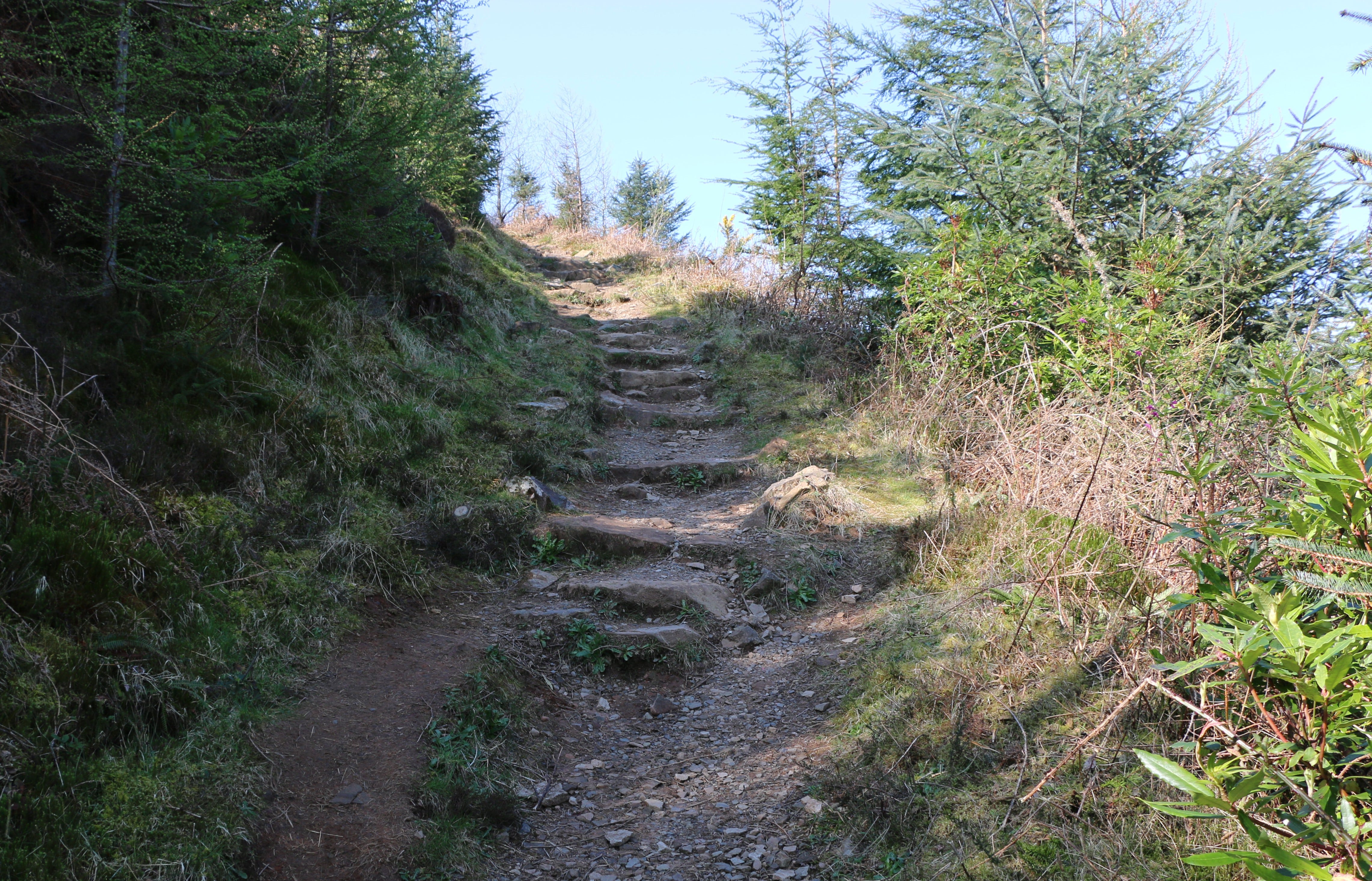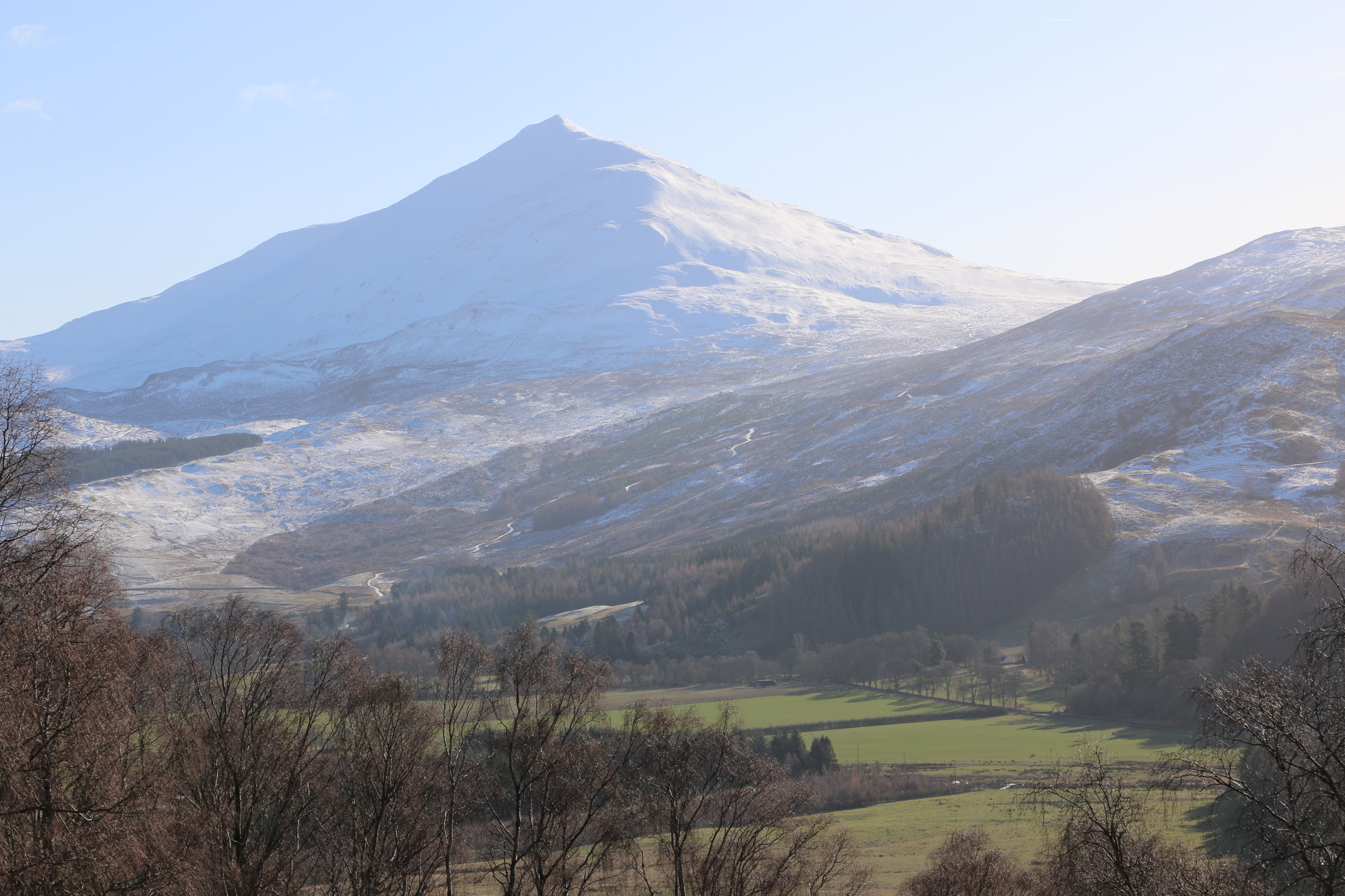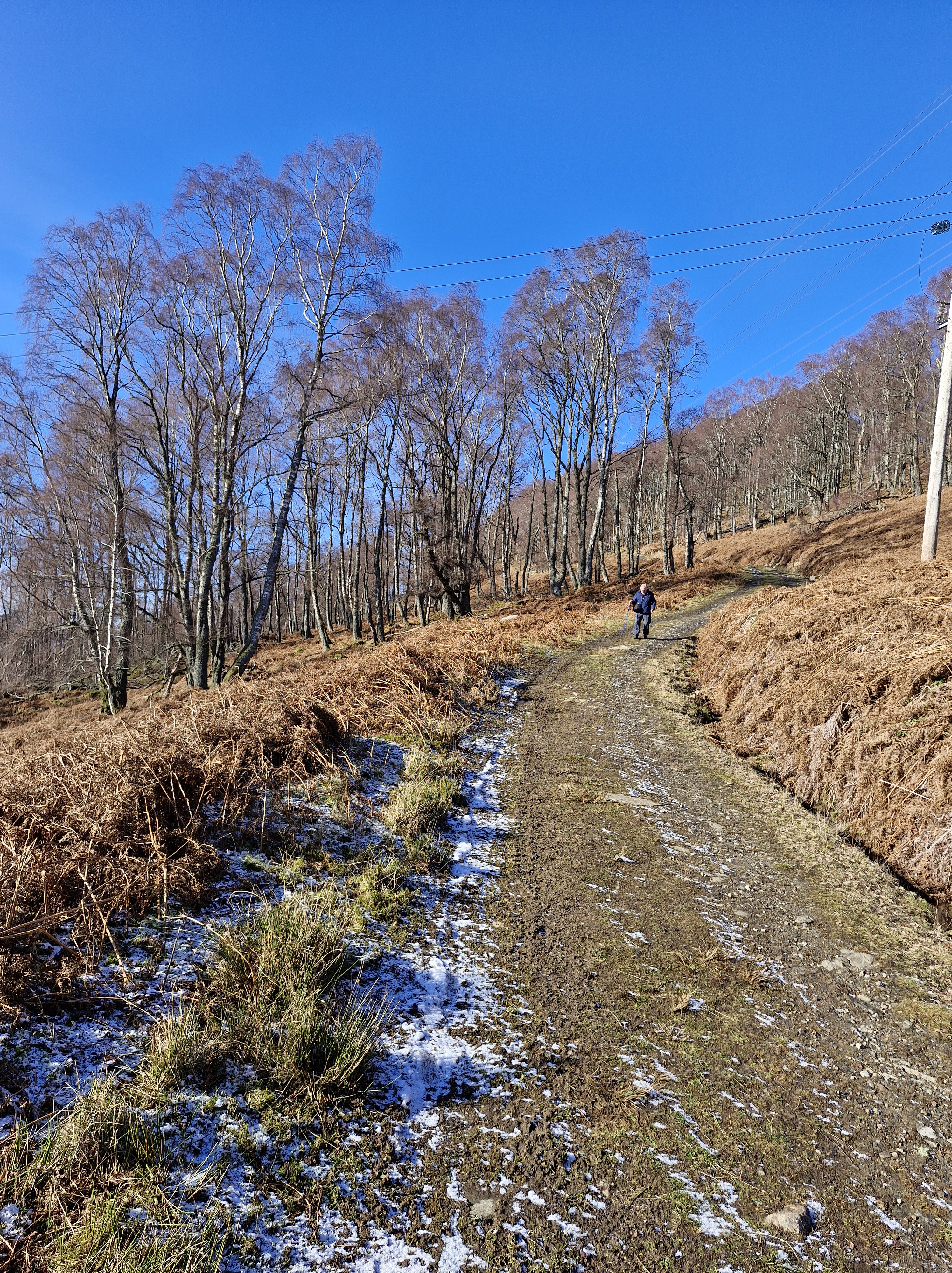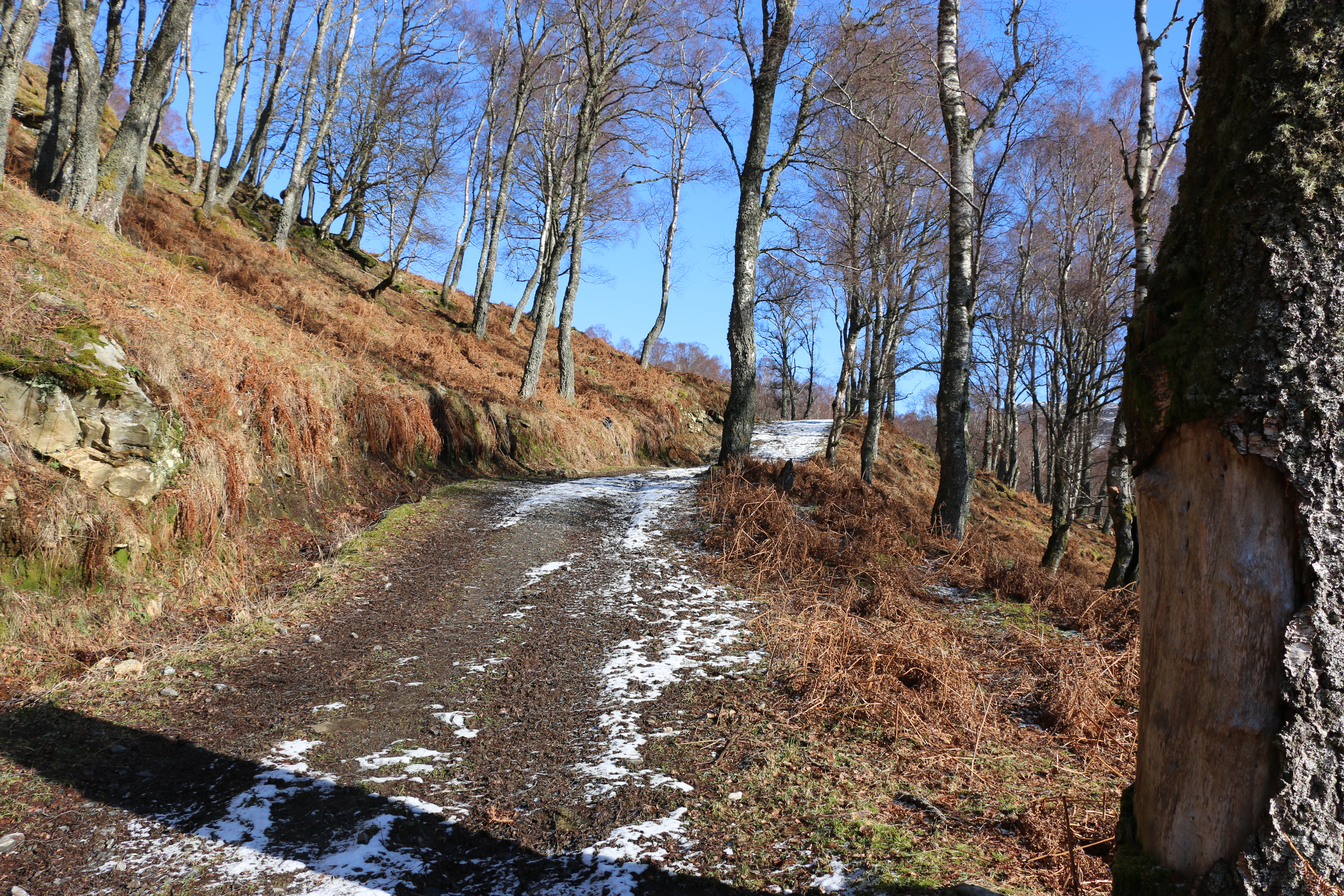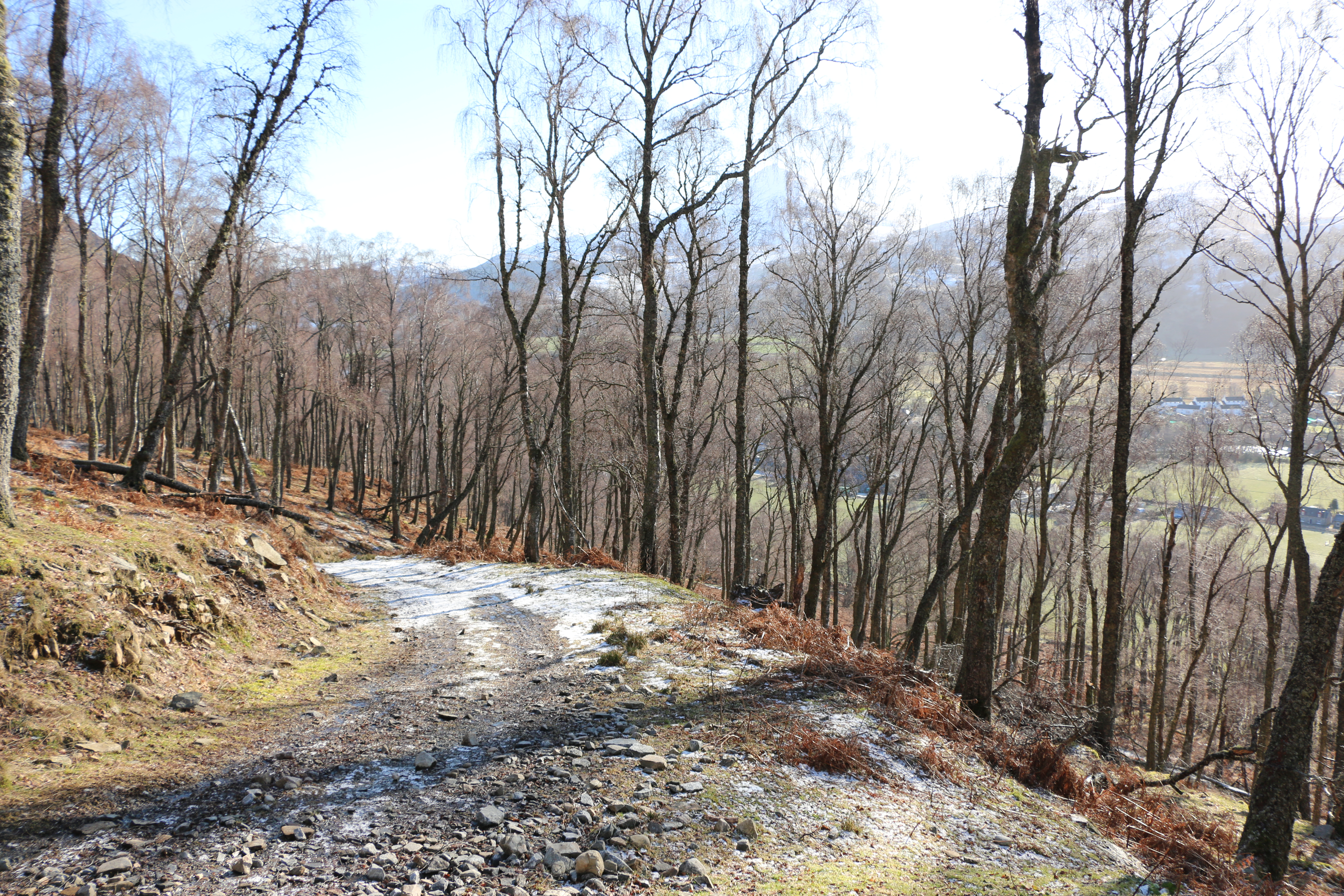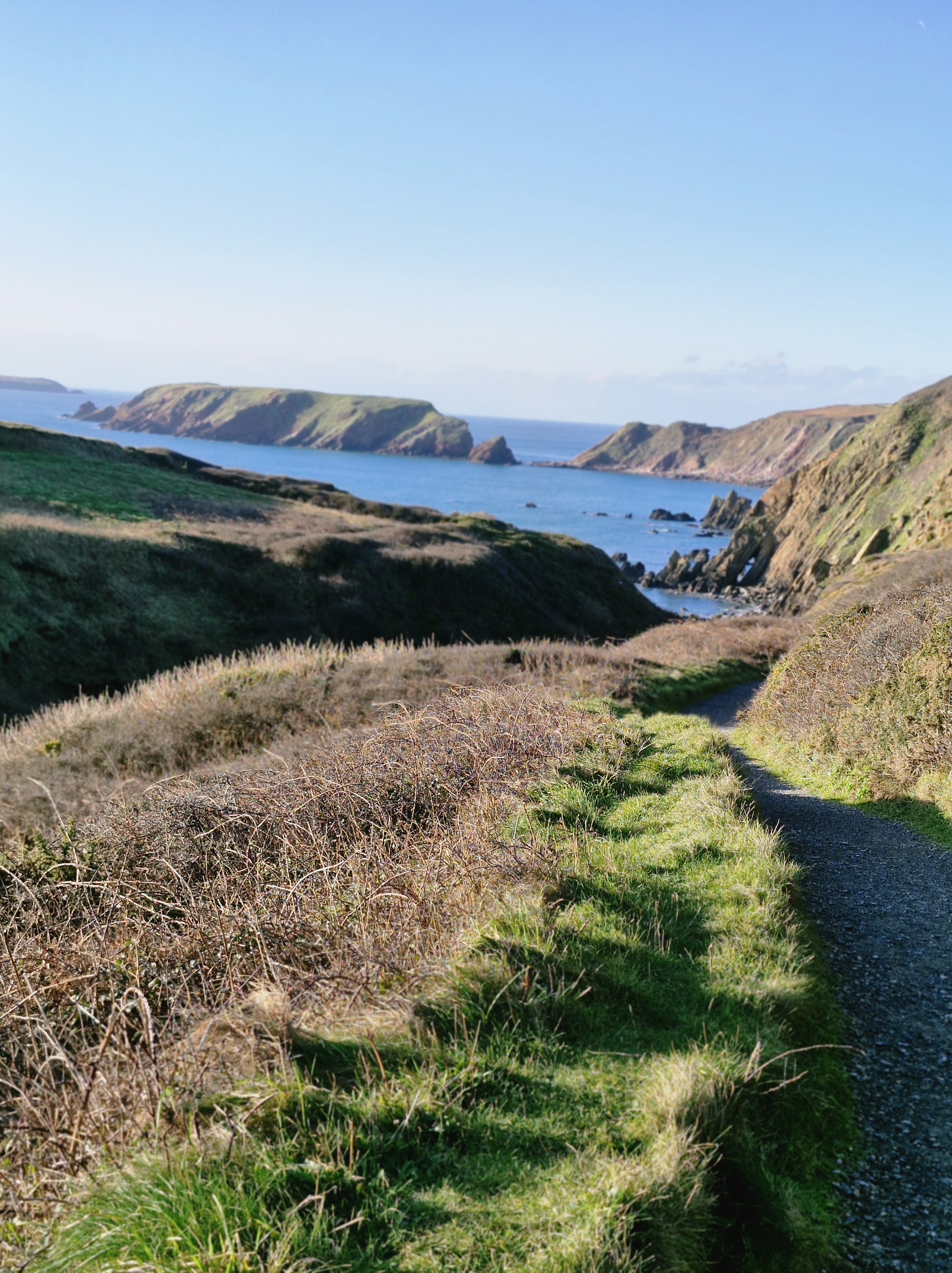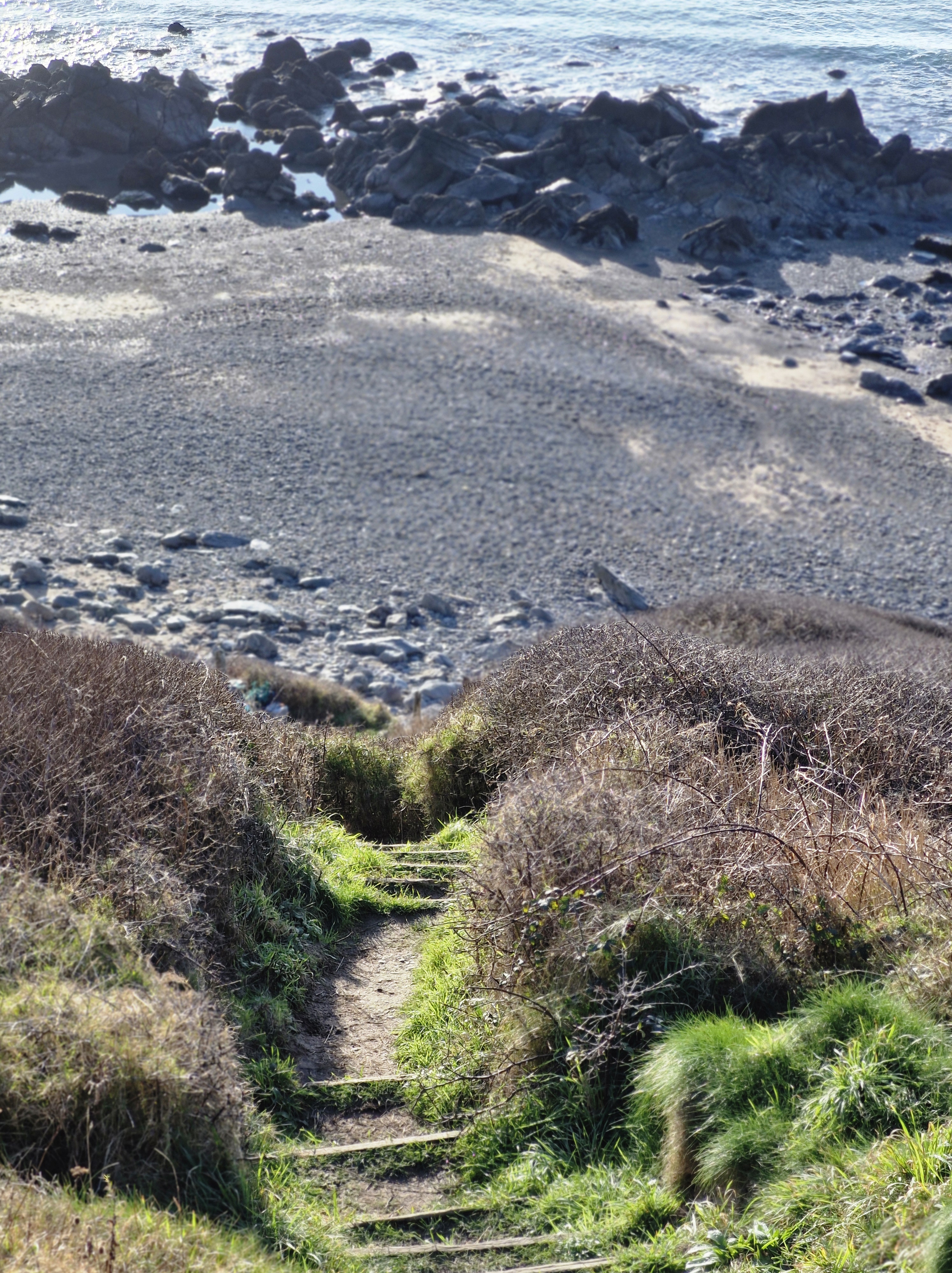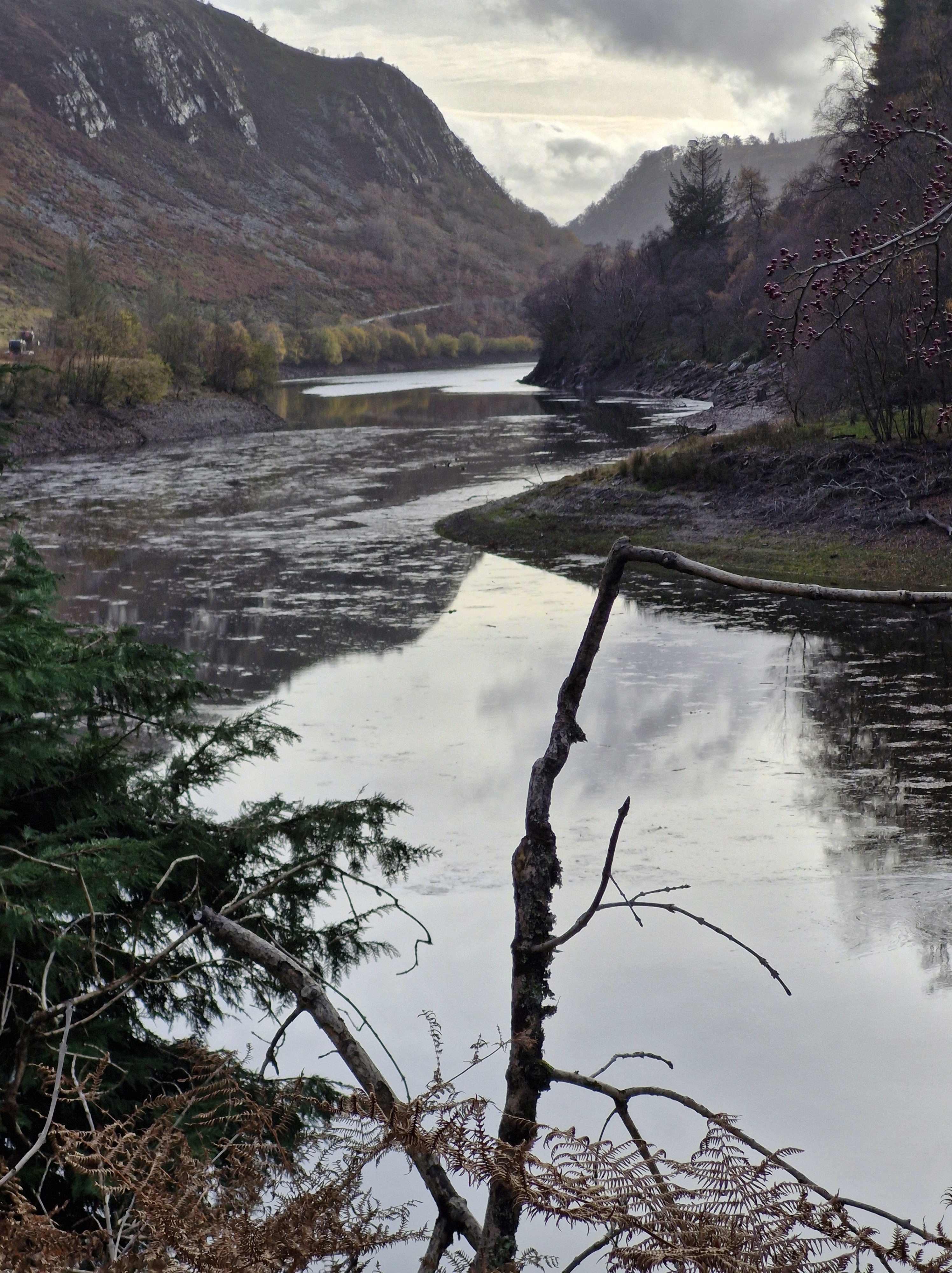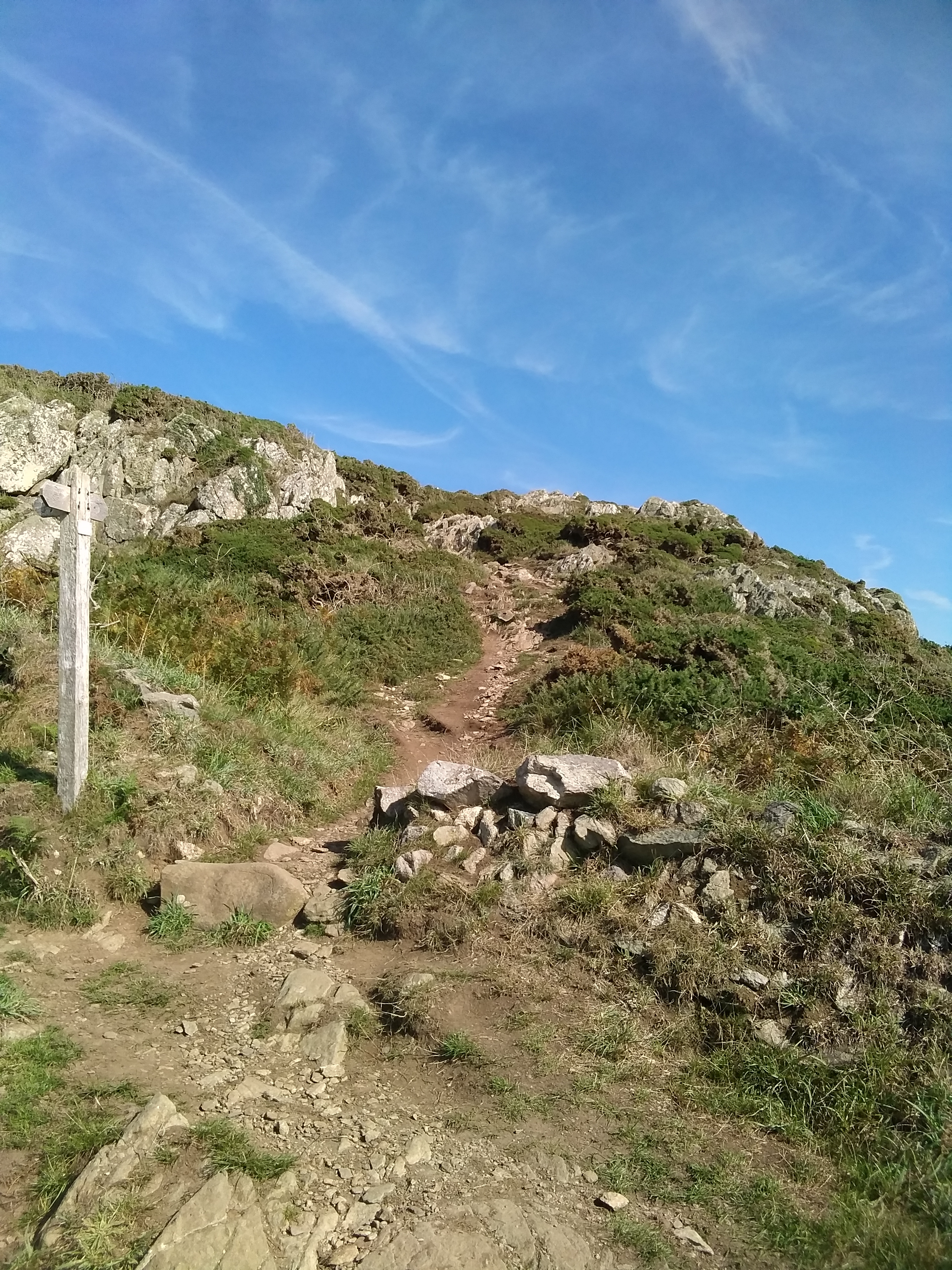
The first Monday of July, saw the Stroll group taking a leisurely stroll along the path from Pwllgwaelod (Translation – pwll refers to a pool, creek, or cove, and gwaelod denoting the depth) to Cwm-yr Eglwys (Translation – Valley of the Church)

Near the beach, there’s a medium-sized lime kiln. A lime kiln is a special oven used to heat limestone. Limestone was brought to Pwllgwaelod by boat. When heated in the kiln, it turned into “quicklime.” This quicklime was then used on the land, especially on Dinas Island, to improve the soil for farming.
Sabine Baring-Gould (1834-1924), a British clergyman, antiquarian, and prolific writer, who wrote the famous hymn Onward Christian Soldiers, composed in 1864, also wrote about the legend of Pwllgwaelod in a book with the title A Book of South Wales , published in 1905. He wrote: ‘Now the story goes that under the sea by Dinas Point, in Pwll Gwaelod, lies a fairy city inhabited by a mysterious people called the Bendith y Mamau (The Blessing of the Mothers). When the sea is calm, through the crystal waters can be seen the golden roofs and spires and marble palaces of the underwater folk. The vision lasts for from five to ten minutes at a time. One day a ship of a Dinas fisherman cast anchor in the Pwll, when up the chain came swarming one of these subaqueous people, who stepped on deck and said to the captain, “What is this that you are doing? Your anchor is in the roof of my house.” The captain promised to disengage it and not cast anchor there again.’
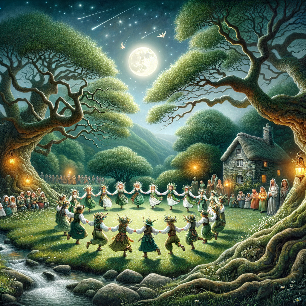
Bendith y Mamau (The Blessing of the Mothers) is a phrase rich in ancient Welsh folklore and mythology. It is sometimes connected to the legendary creatures known as the fae, or fairies, whose existence was closely entwined with the natural surroundings. These creatures were seen with both respect and mistrust since their abilities to affect human life—often in unexpected ways—were thought to be great. The term itself captures the respect and dread ancient Welsh people experienced toward entities they couldn’t fully comprehend. Bendithy y Mamau captures the concept of blessings as well as the duality of the fairies’ nature; should they be insulted or disrespectful, their benefits might readily become curses.Copywrite: https://tinyurl.com/5fp9zfts

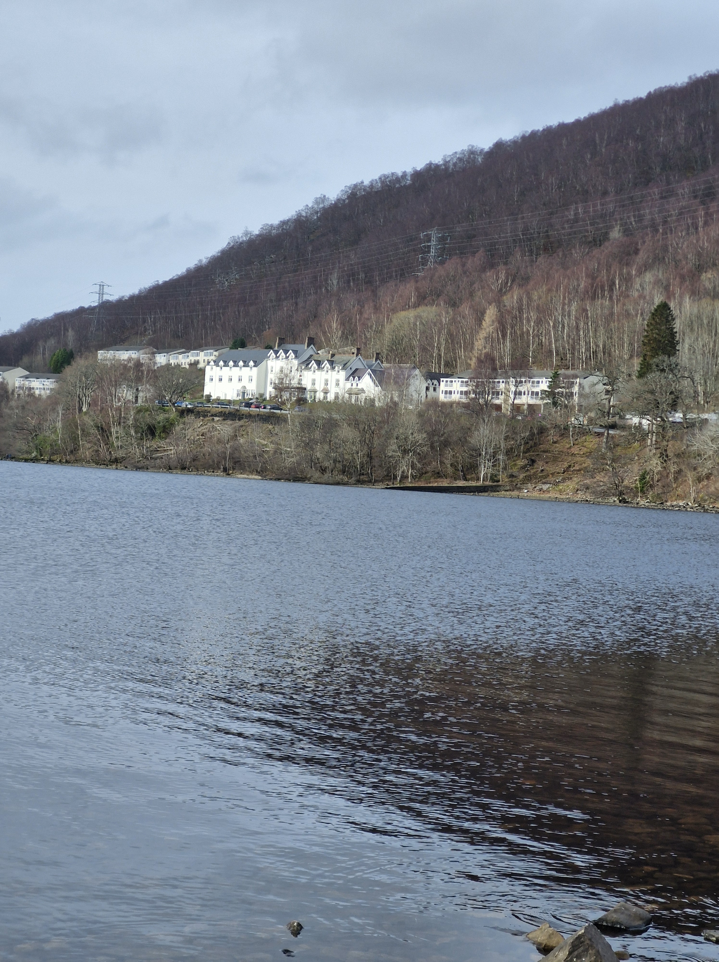
Pwllgwaelod was sometimes used as a safe harbour. When strong winds from the east made Fishguard Harbour dangerous, ships could find shelter here.

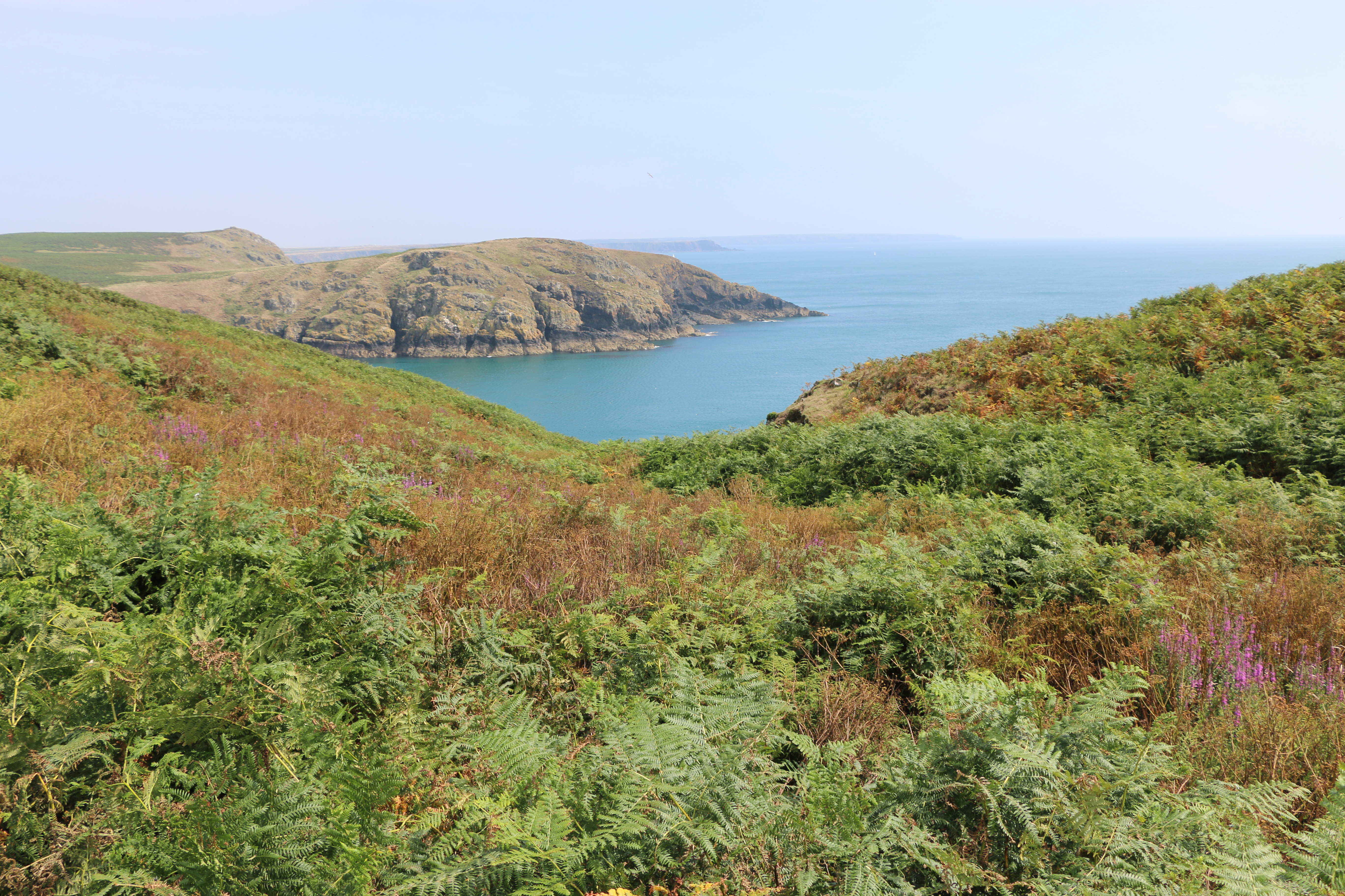
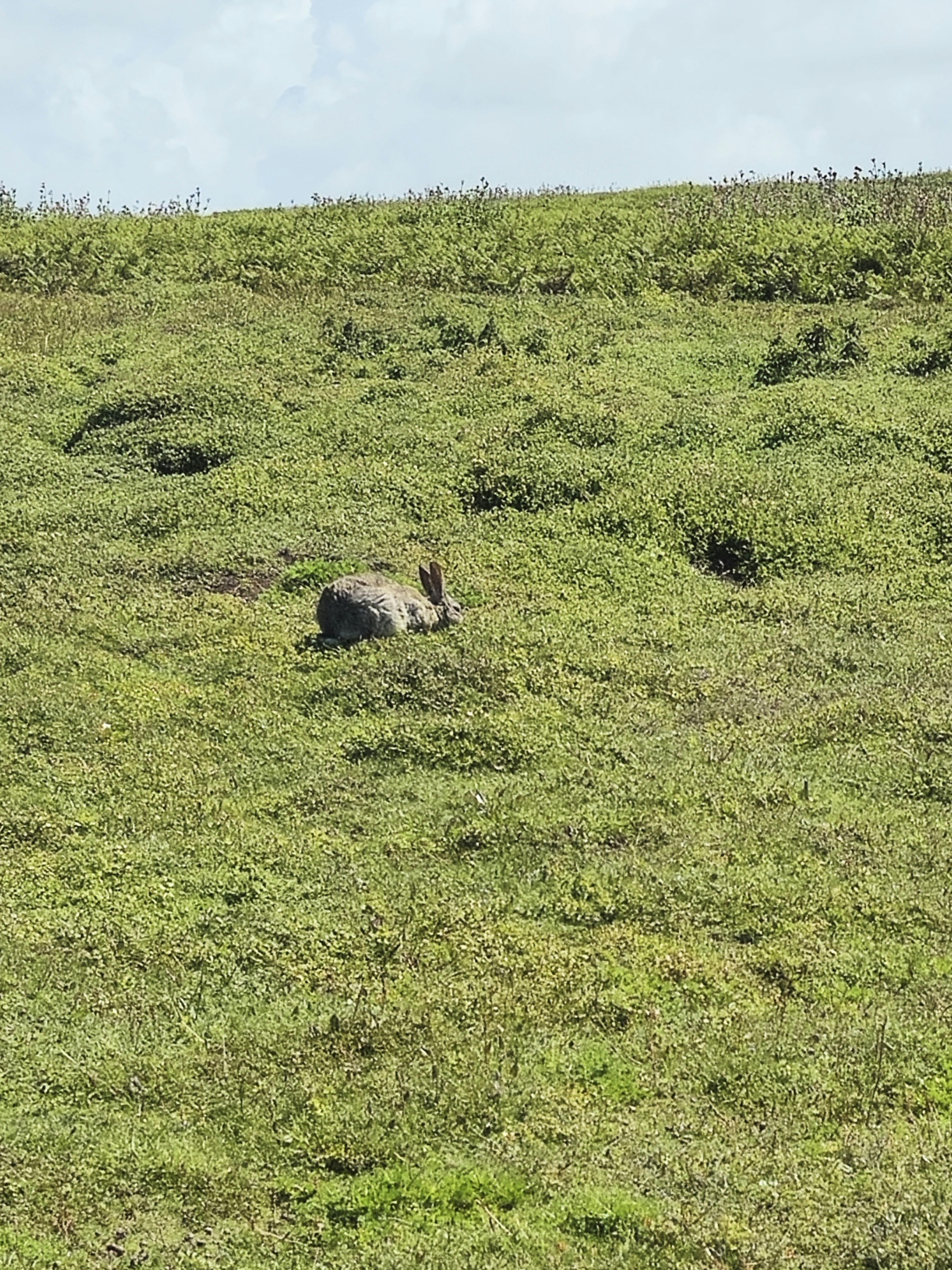
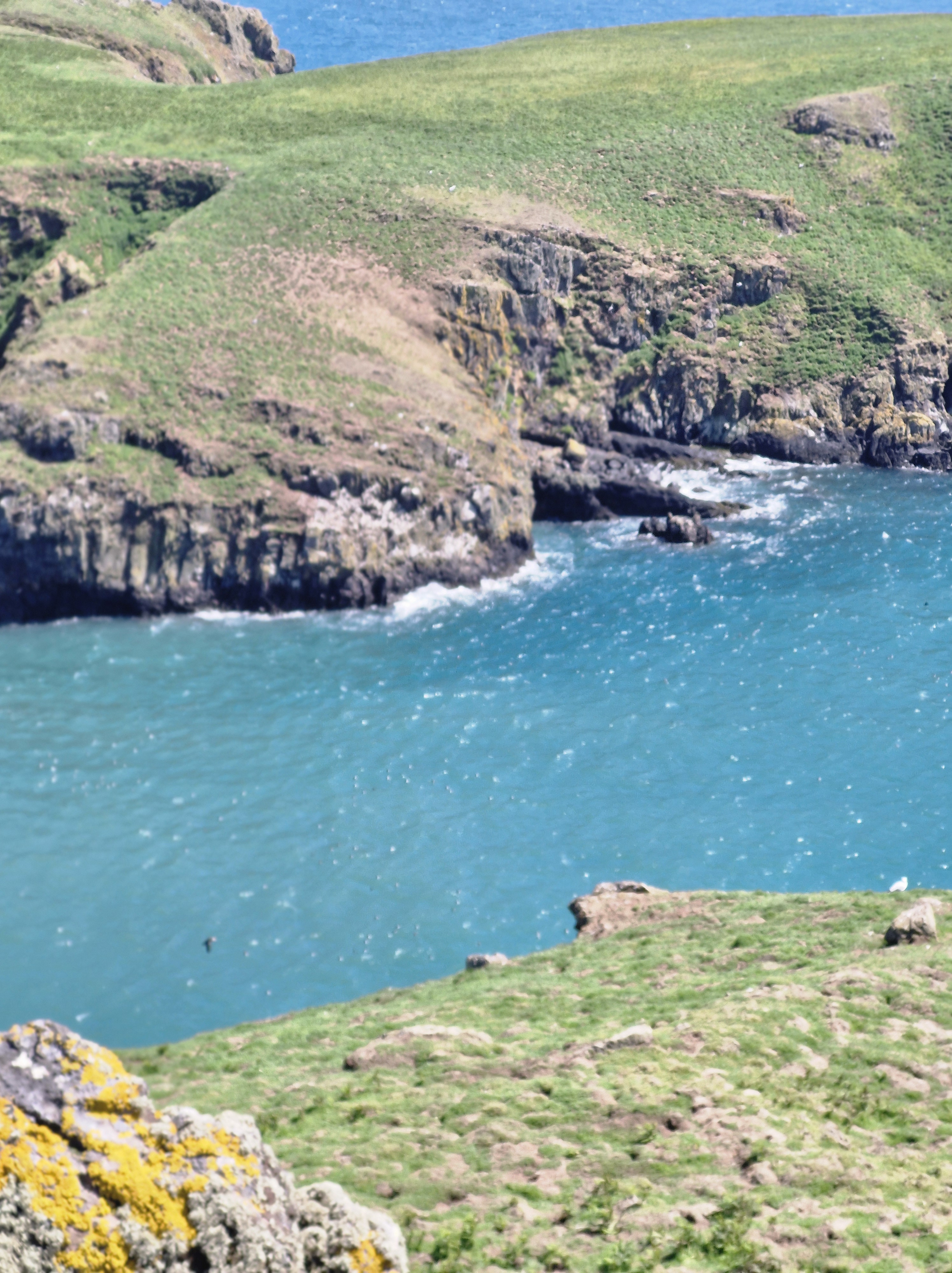
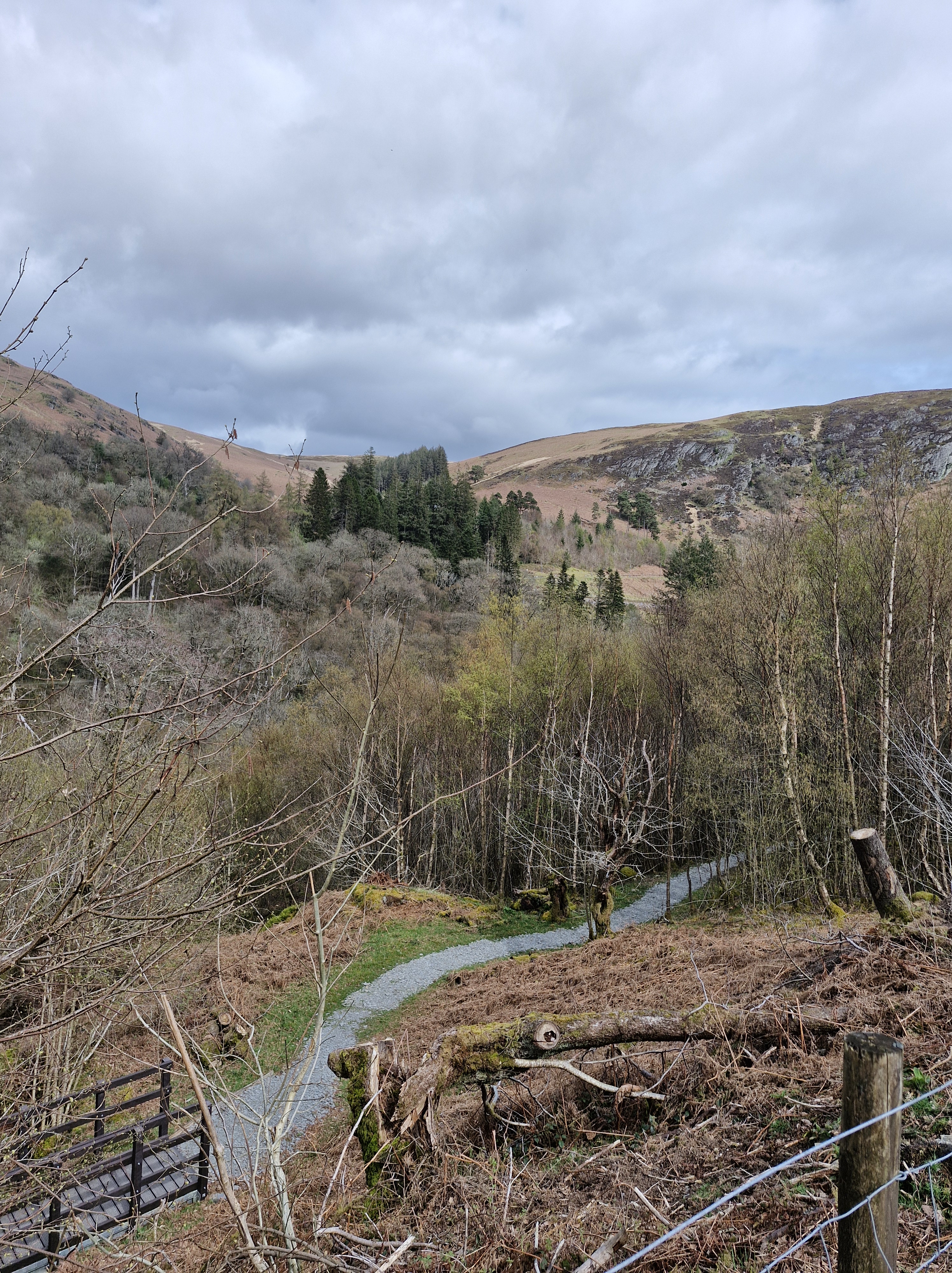
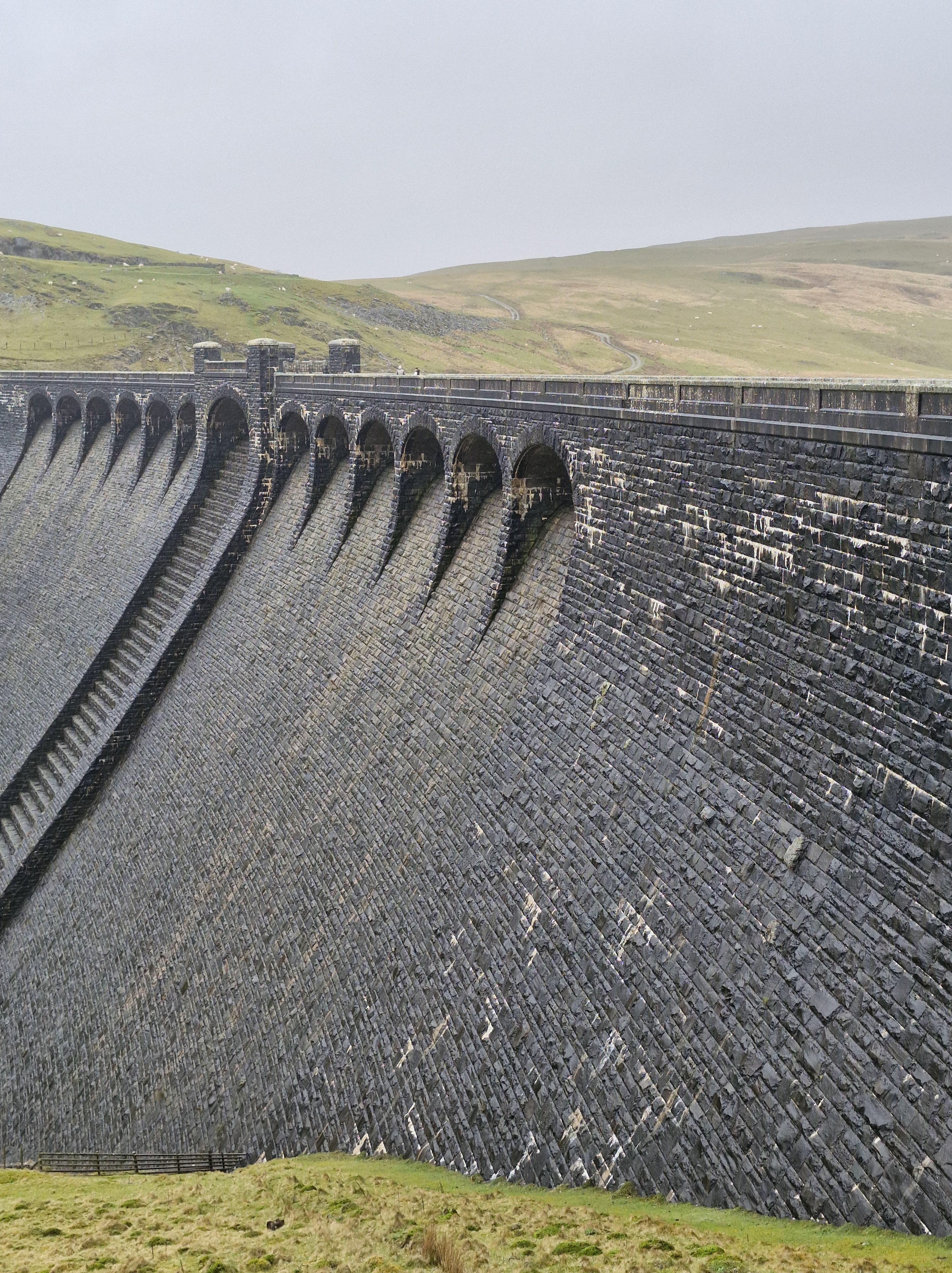
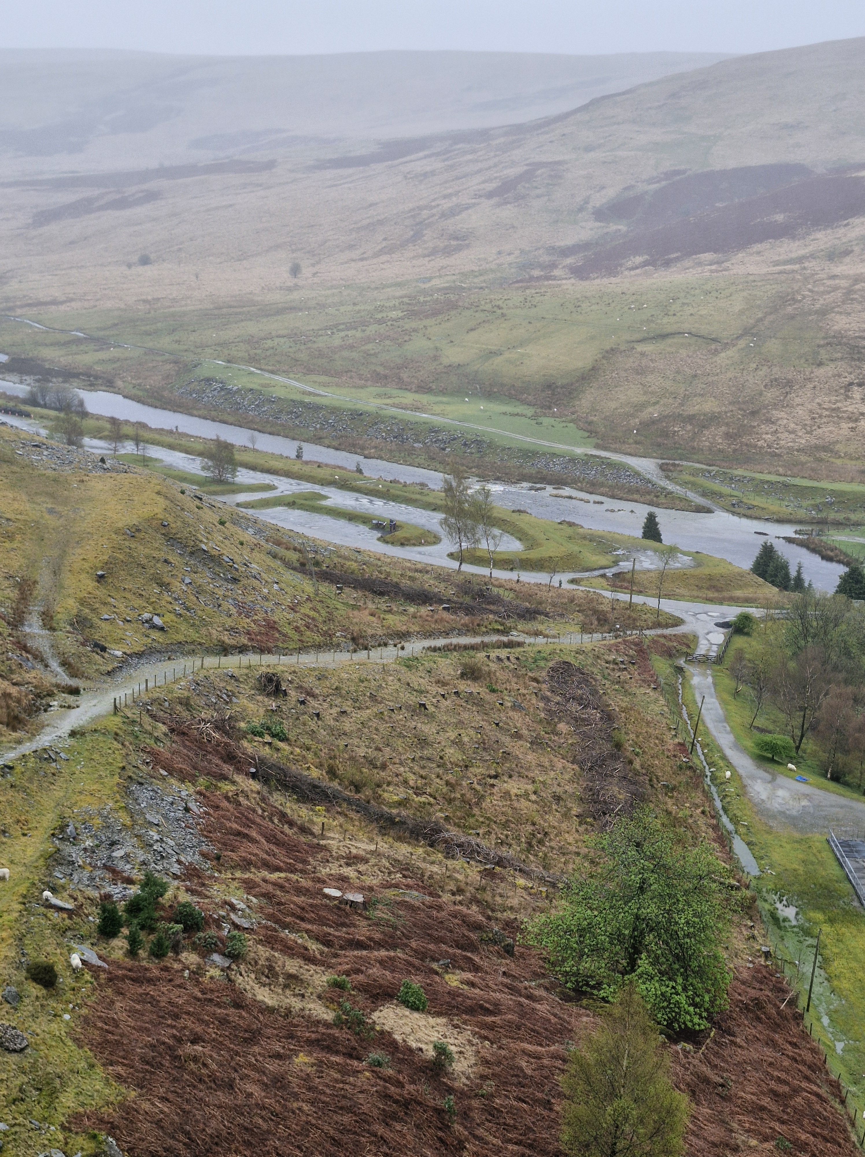
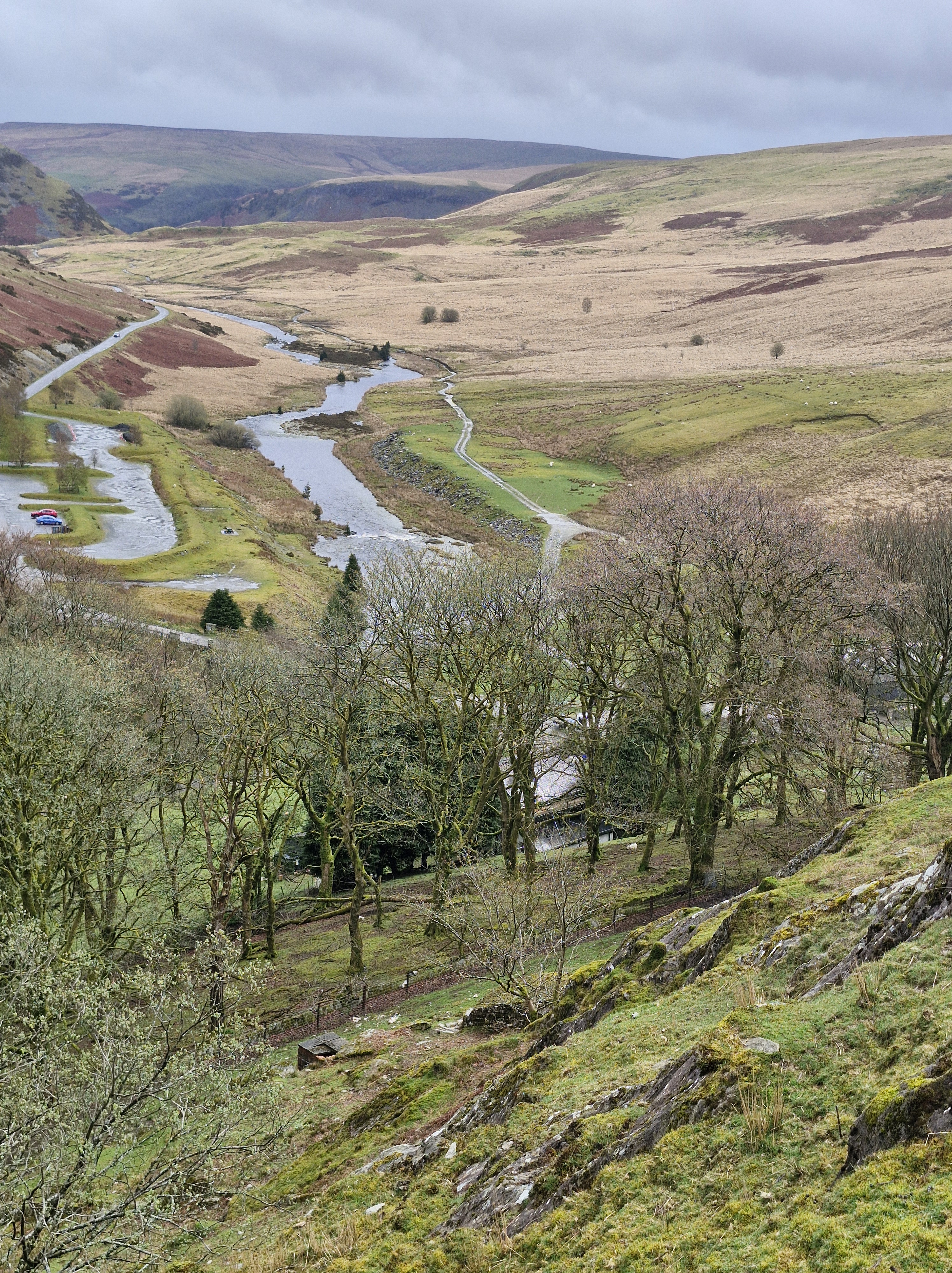
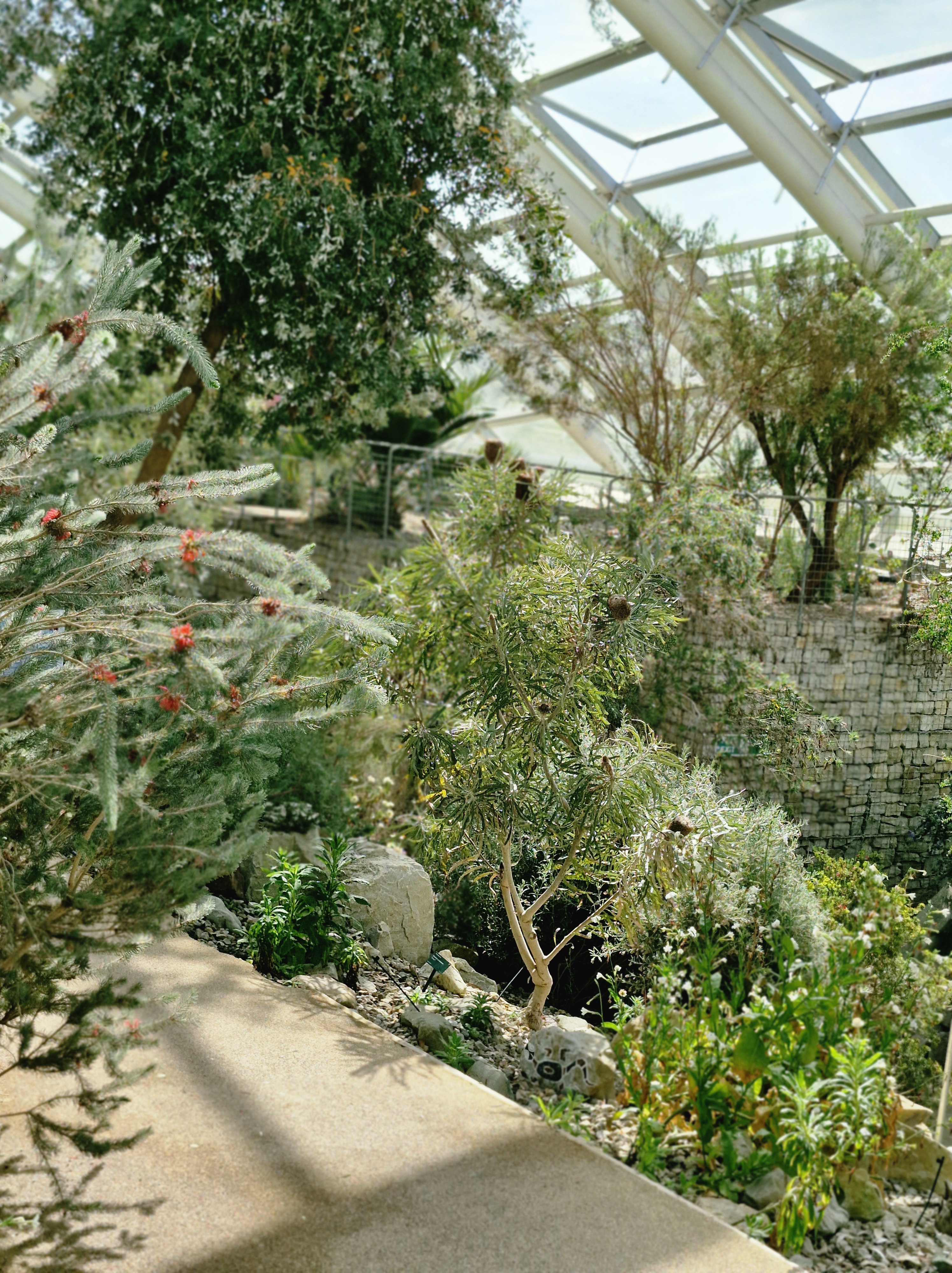
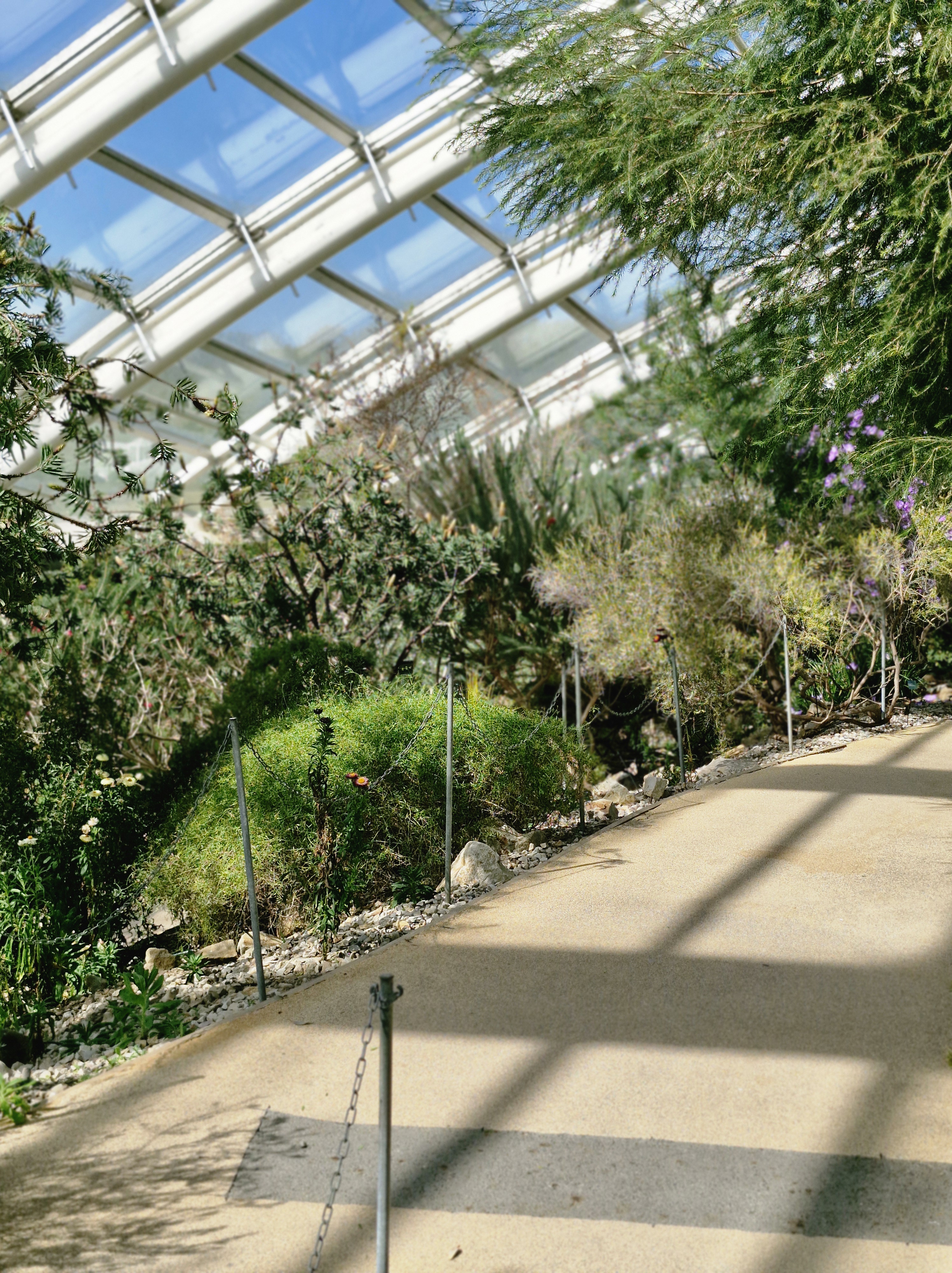
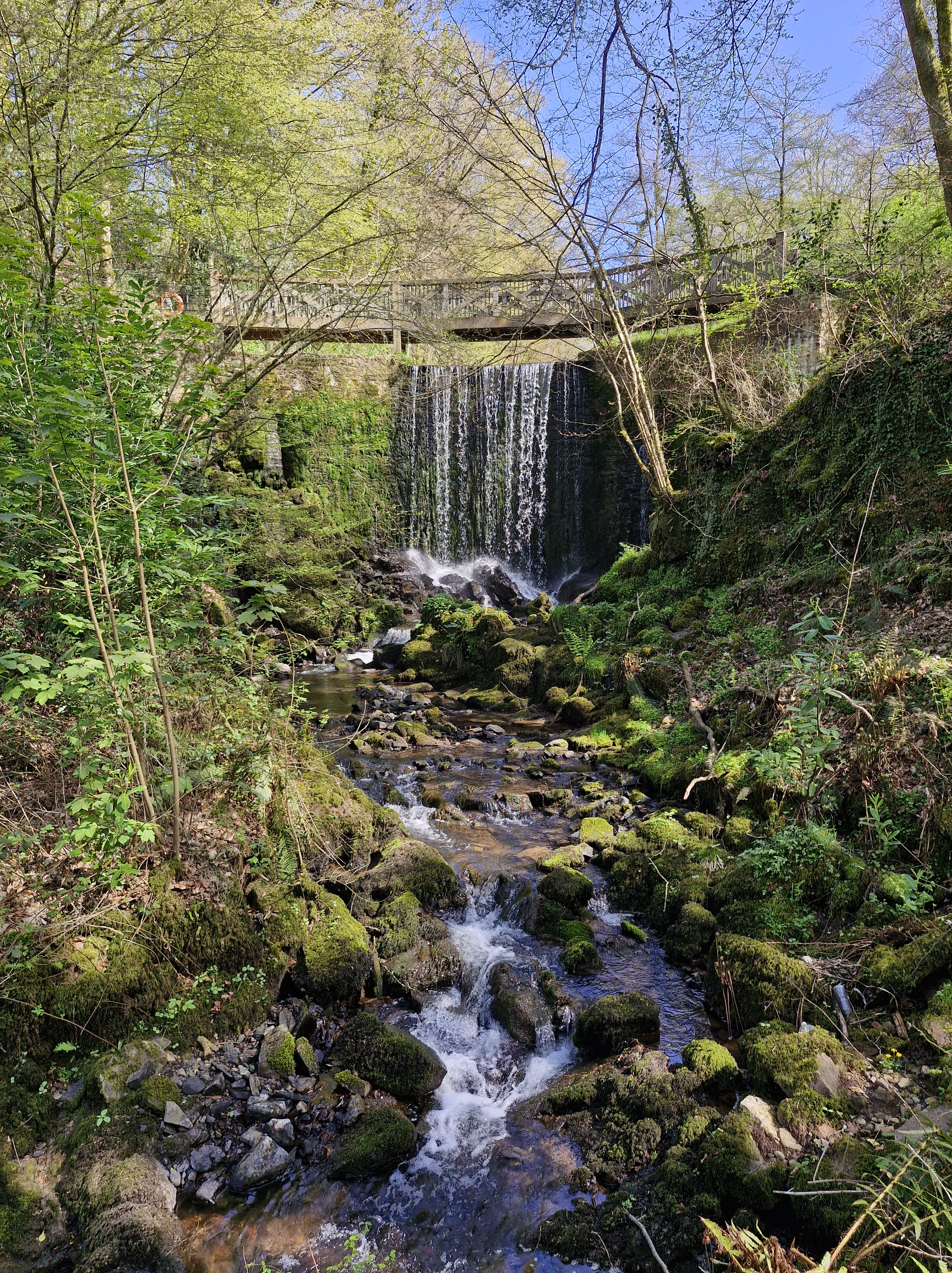
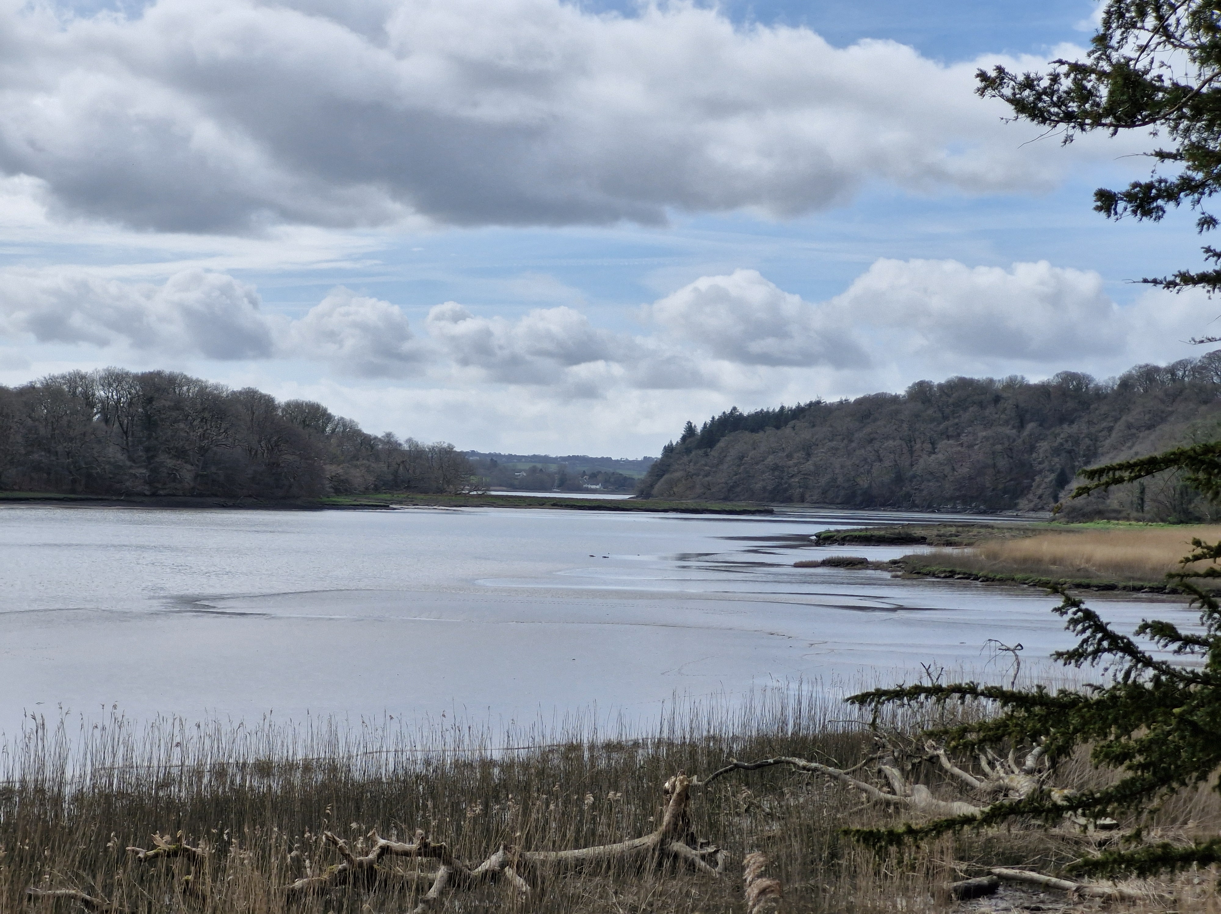
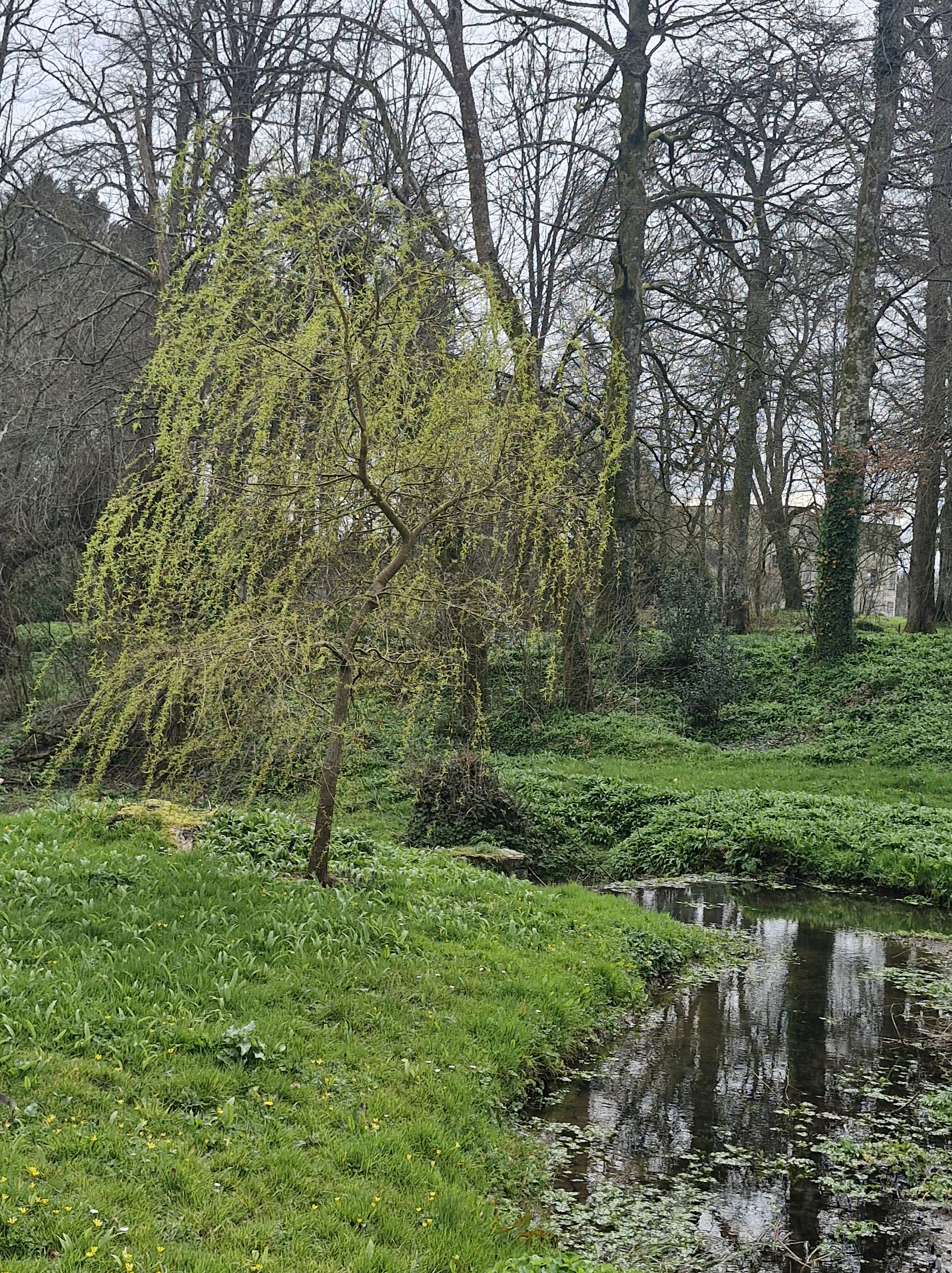
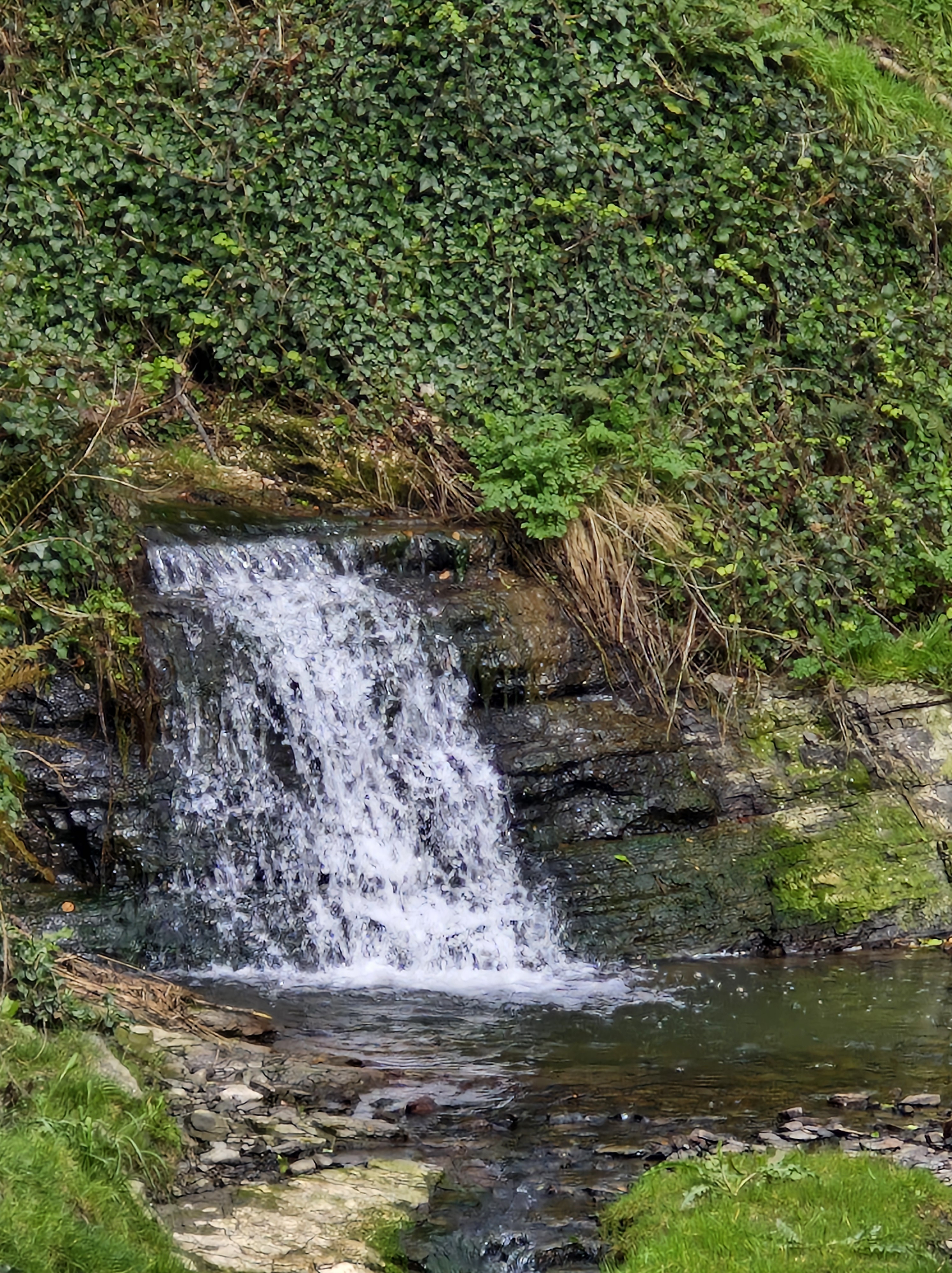
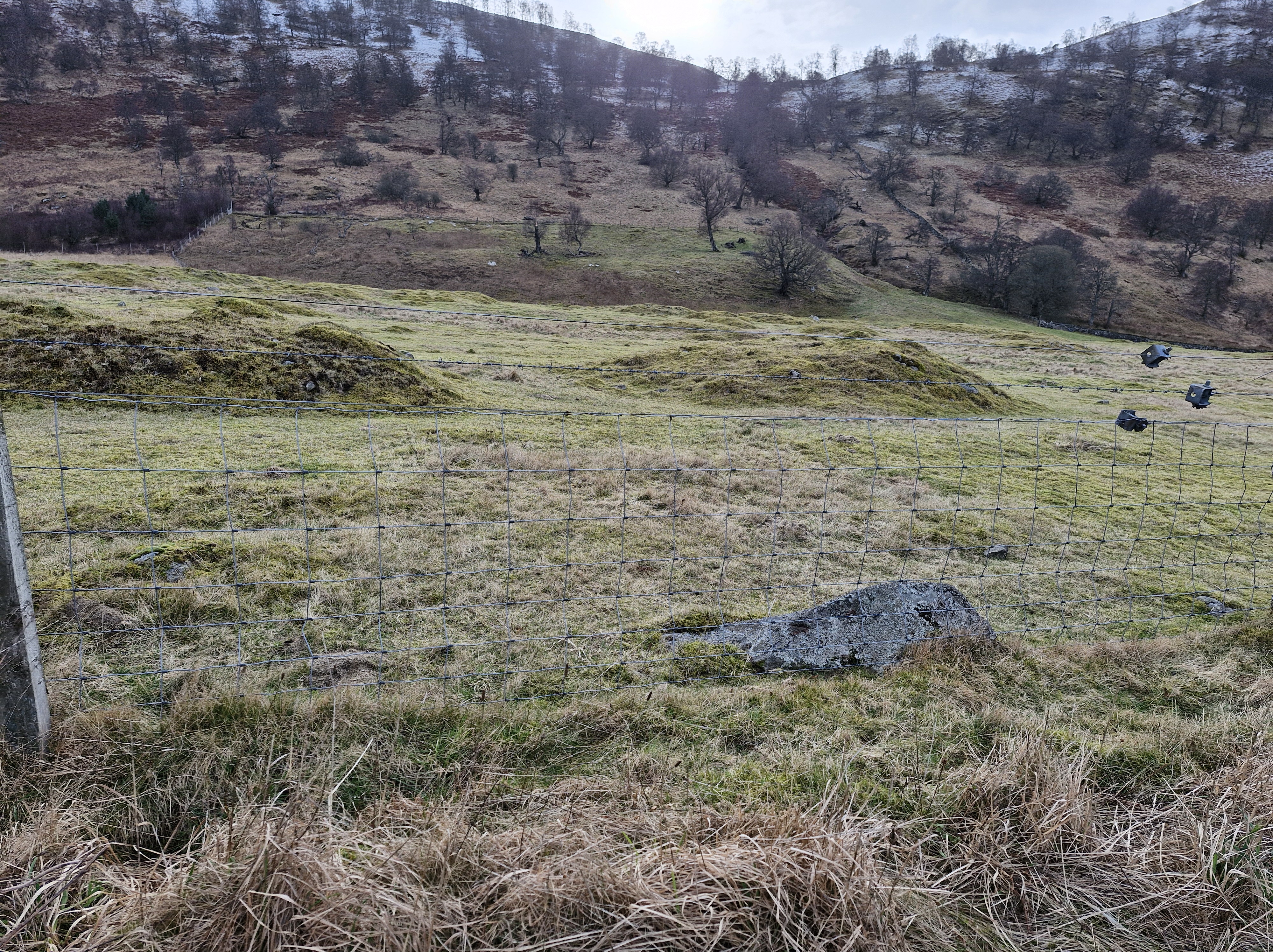
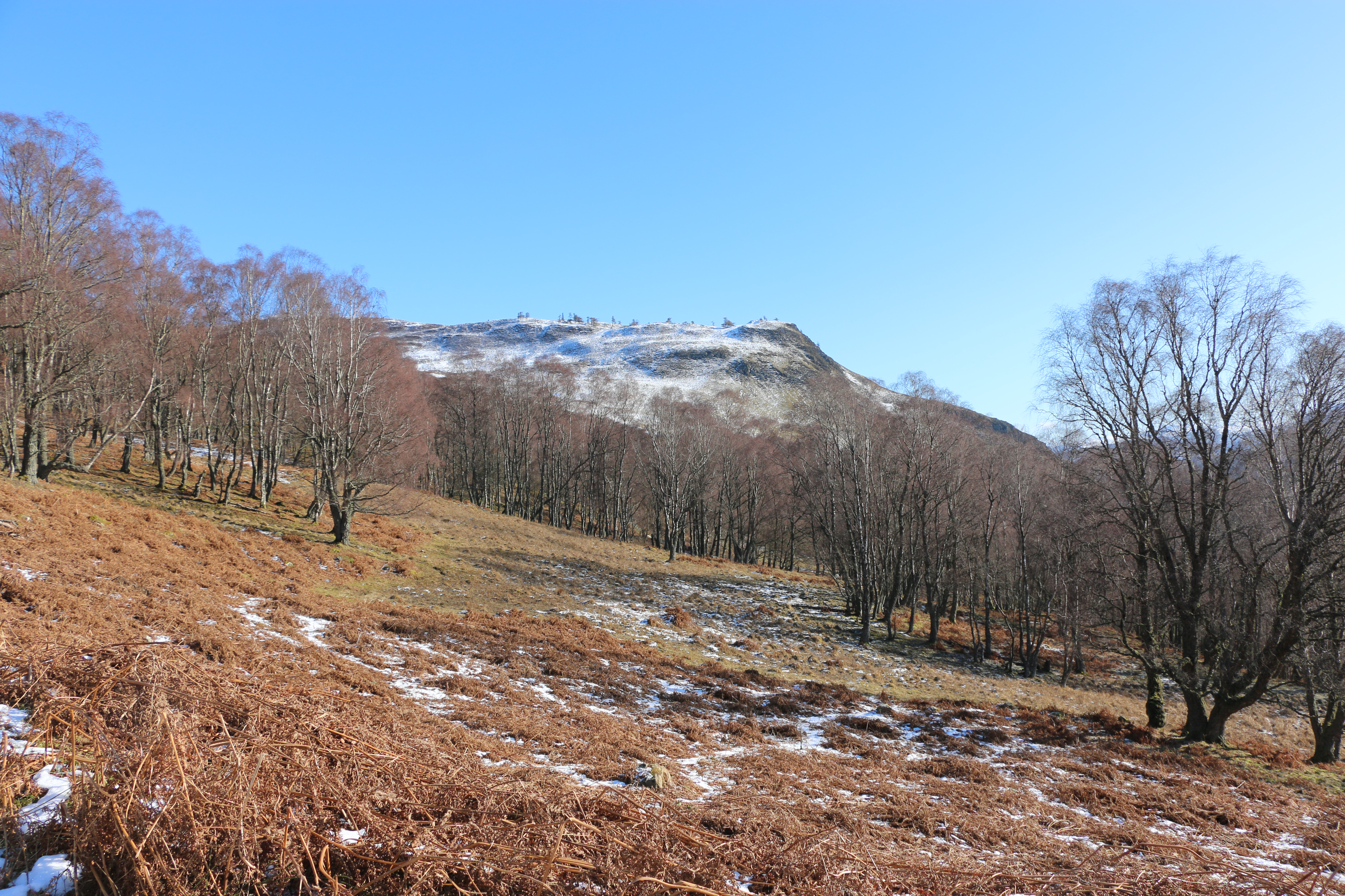
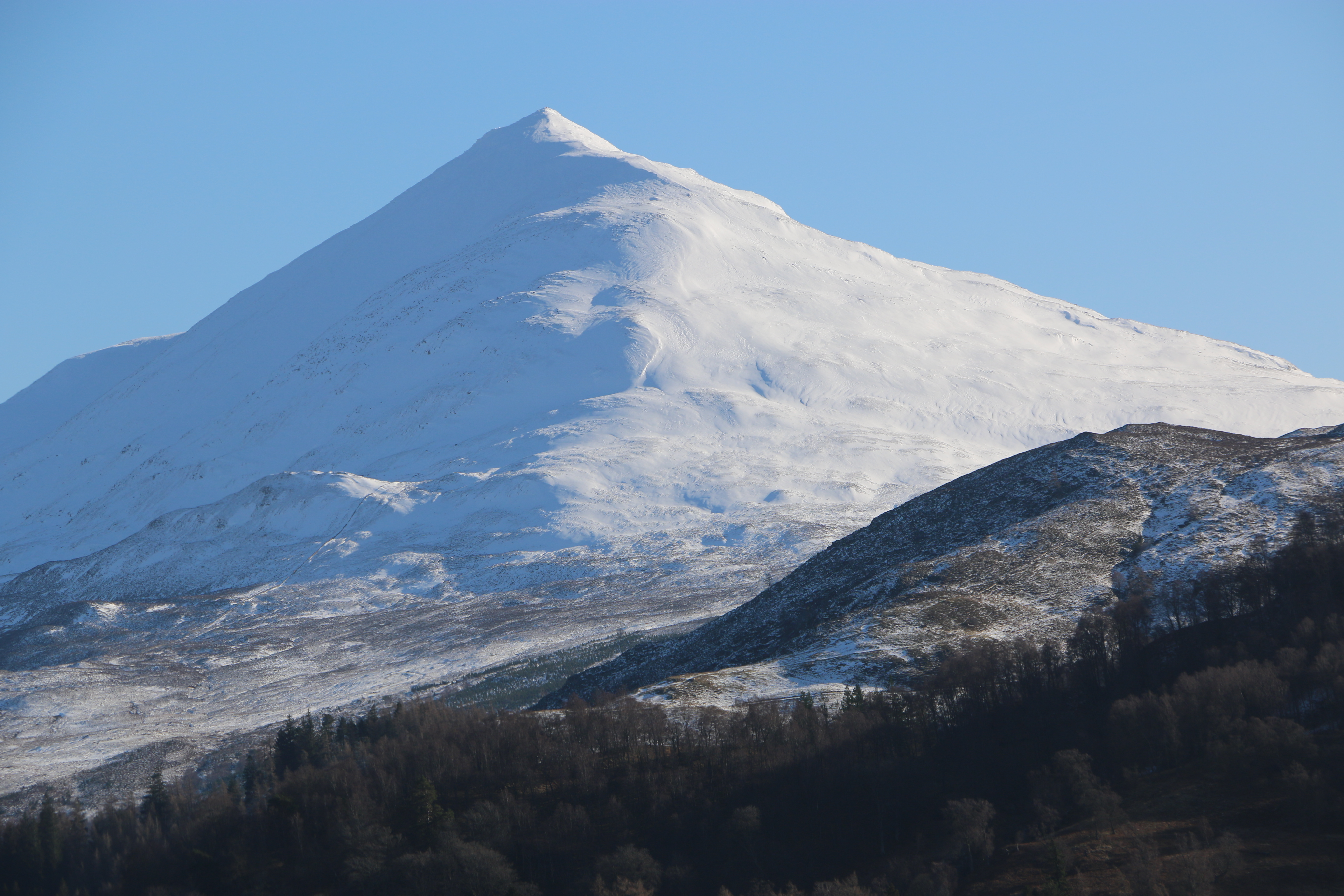
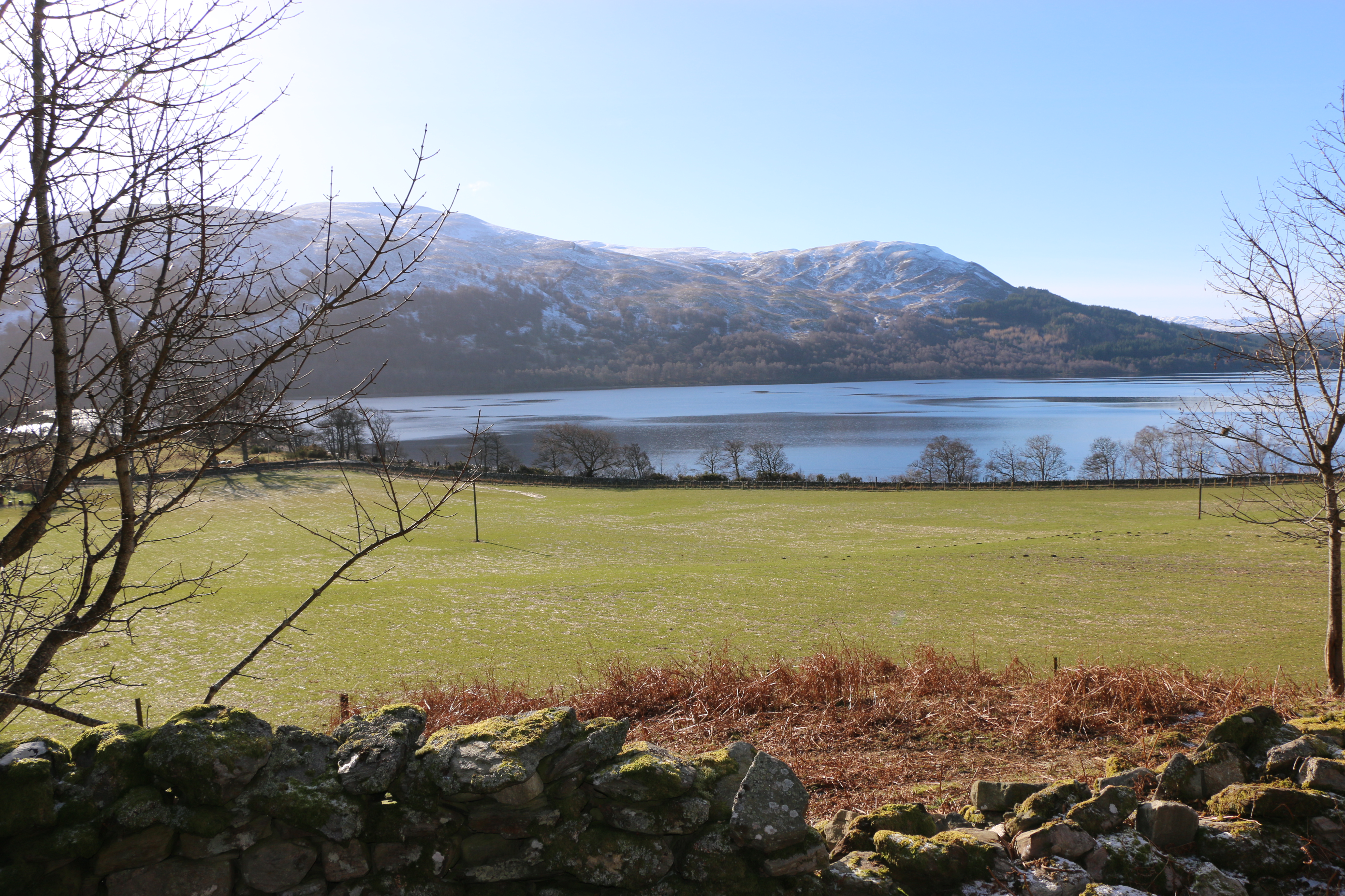
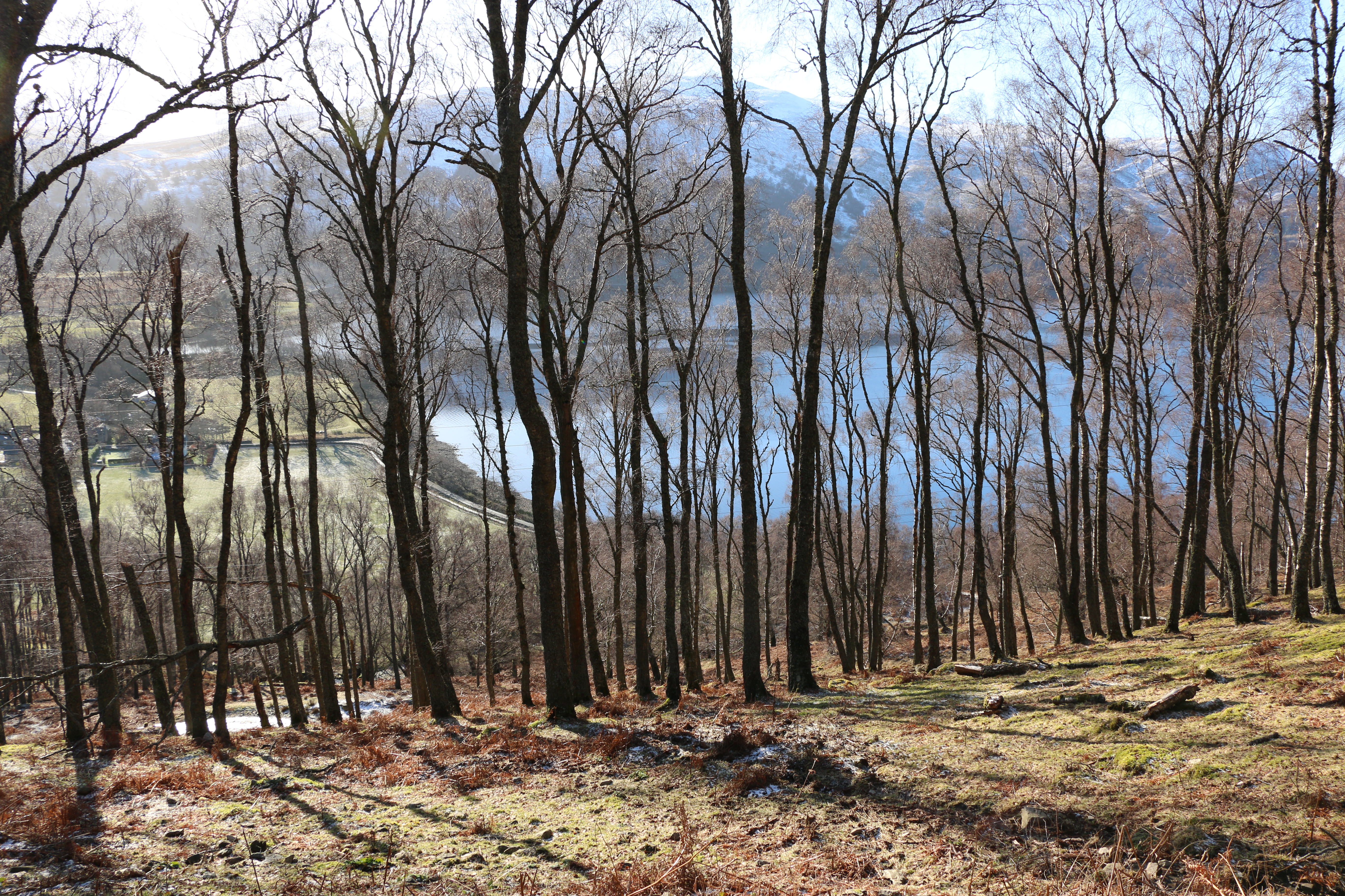
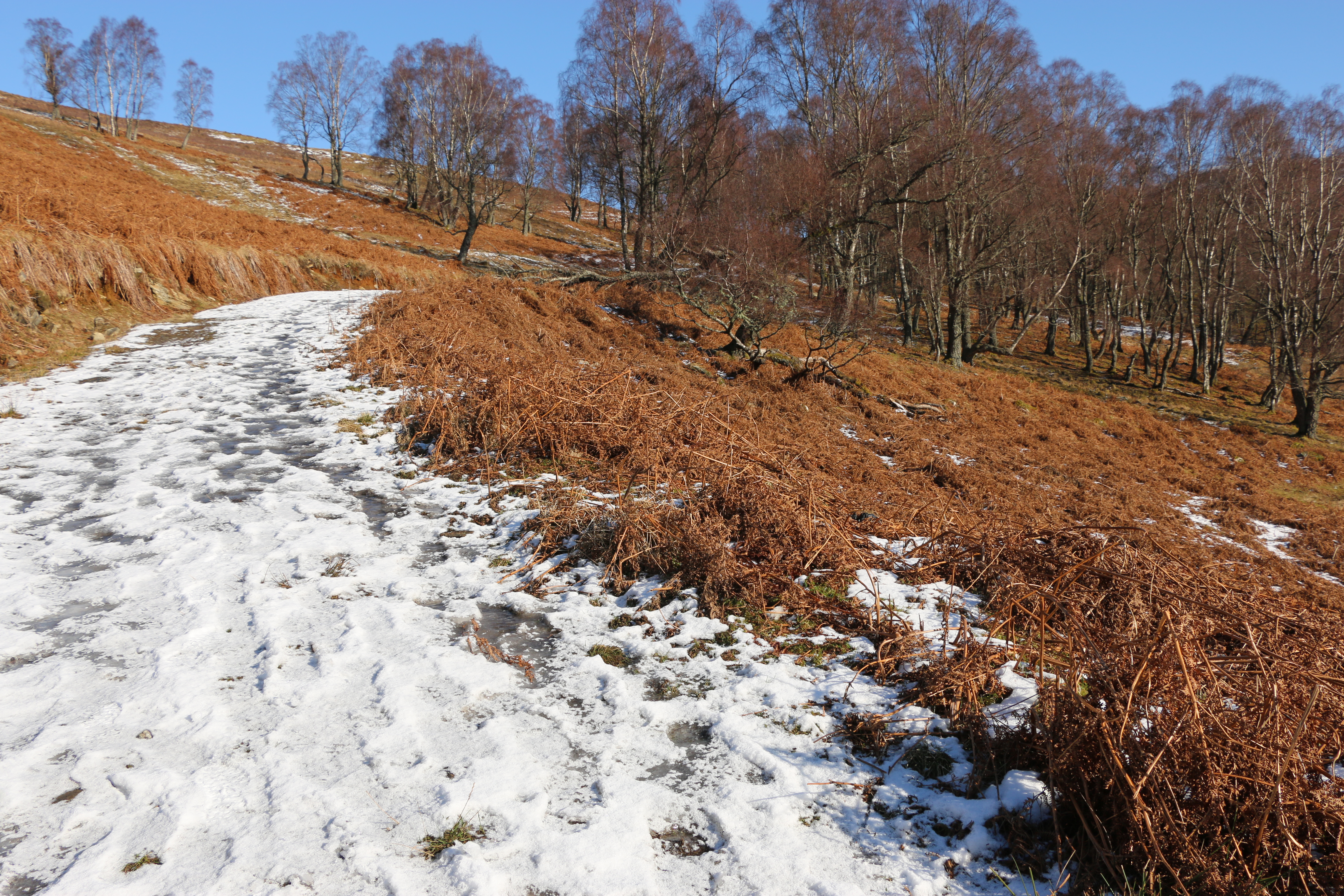
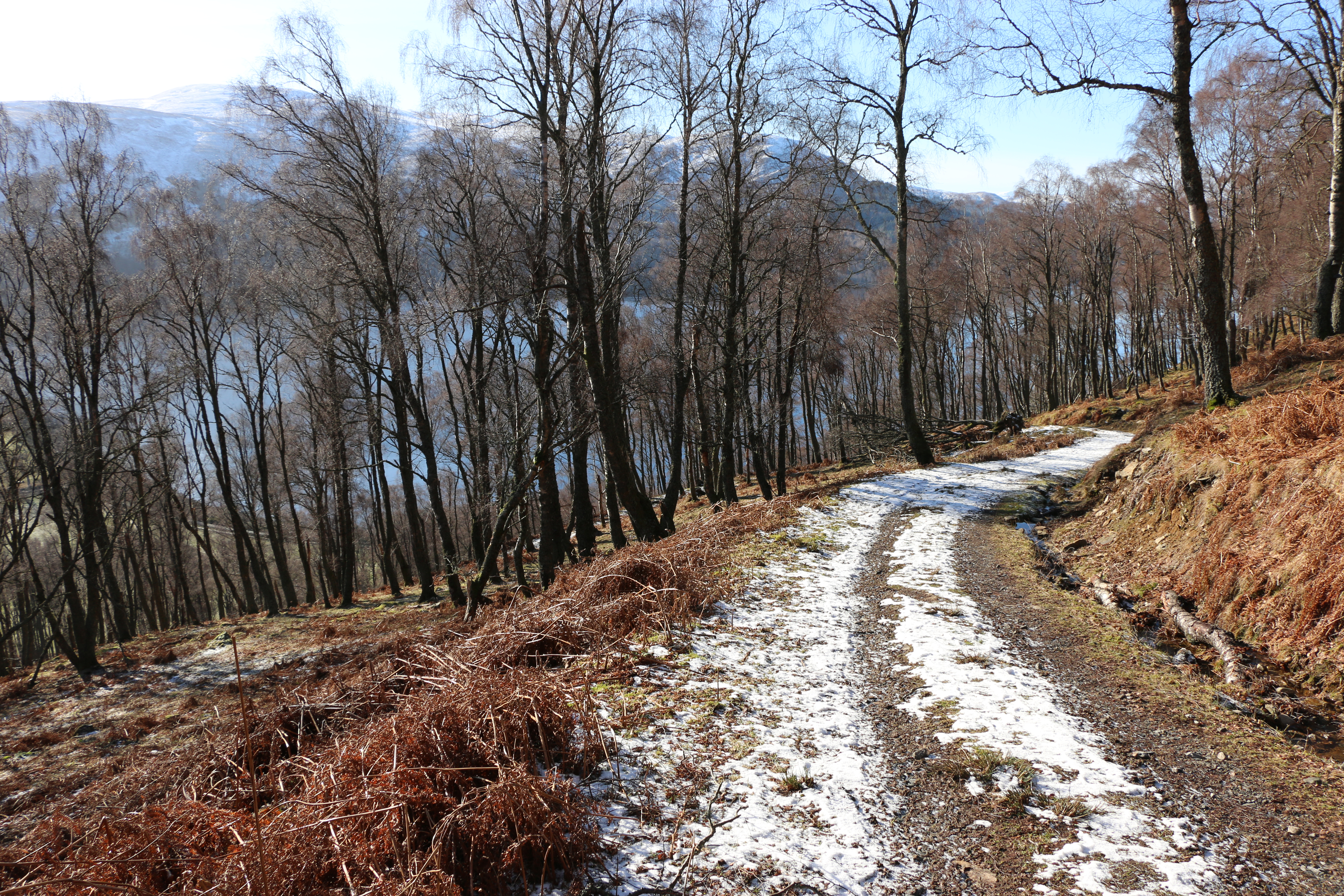
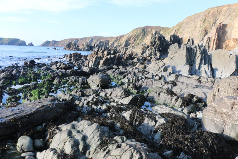
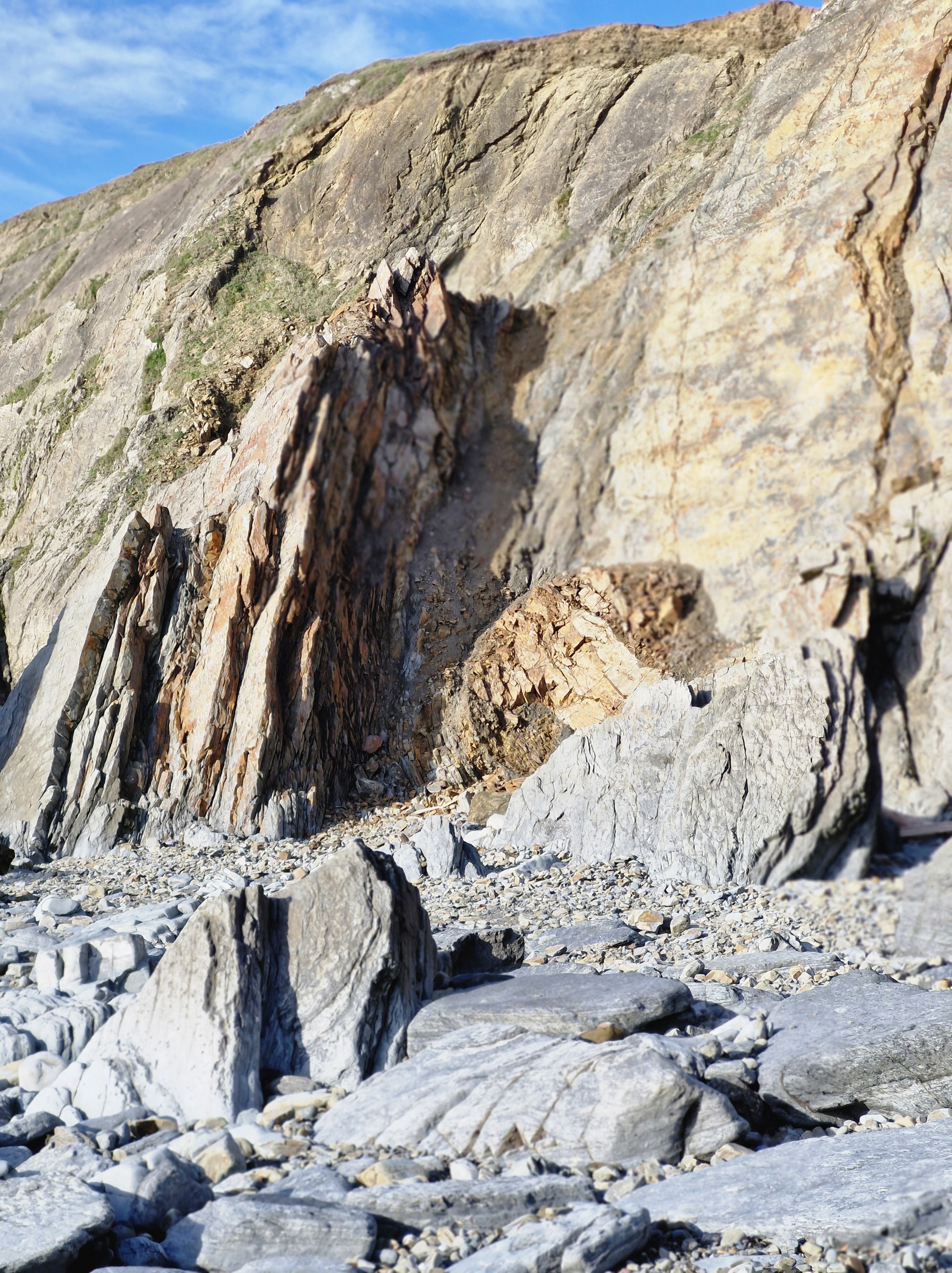
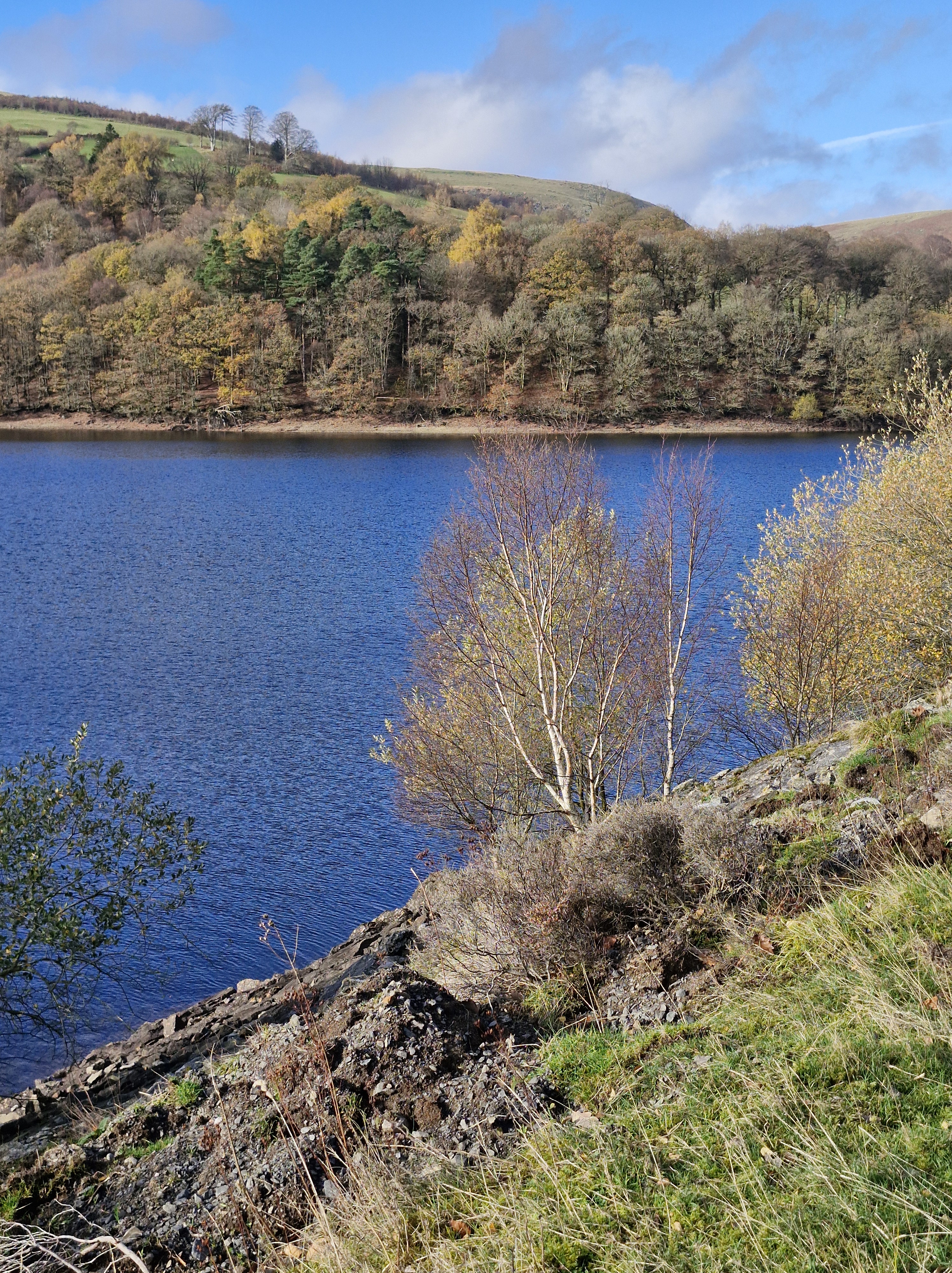
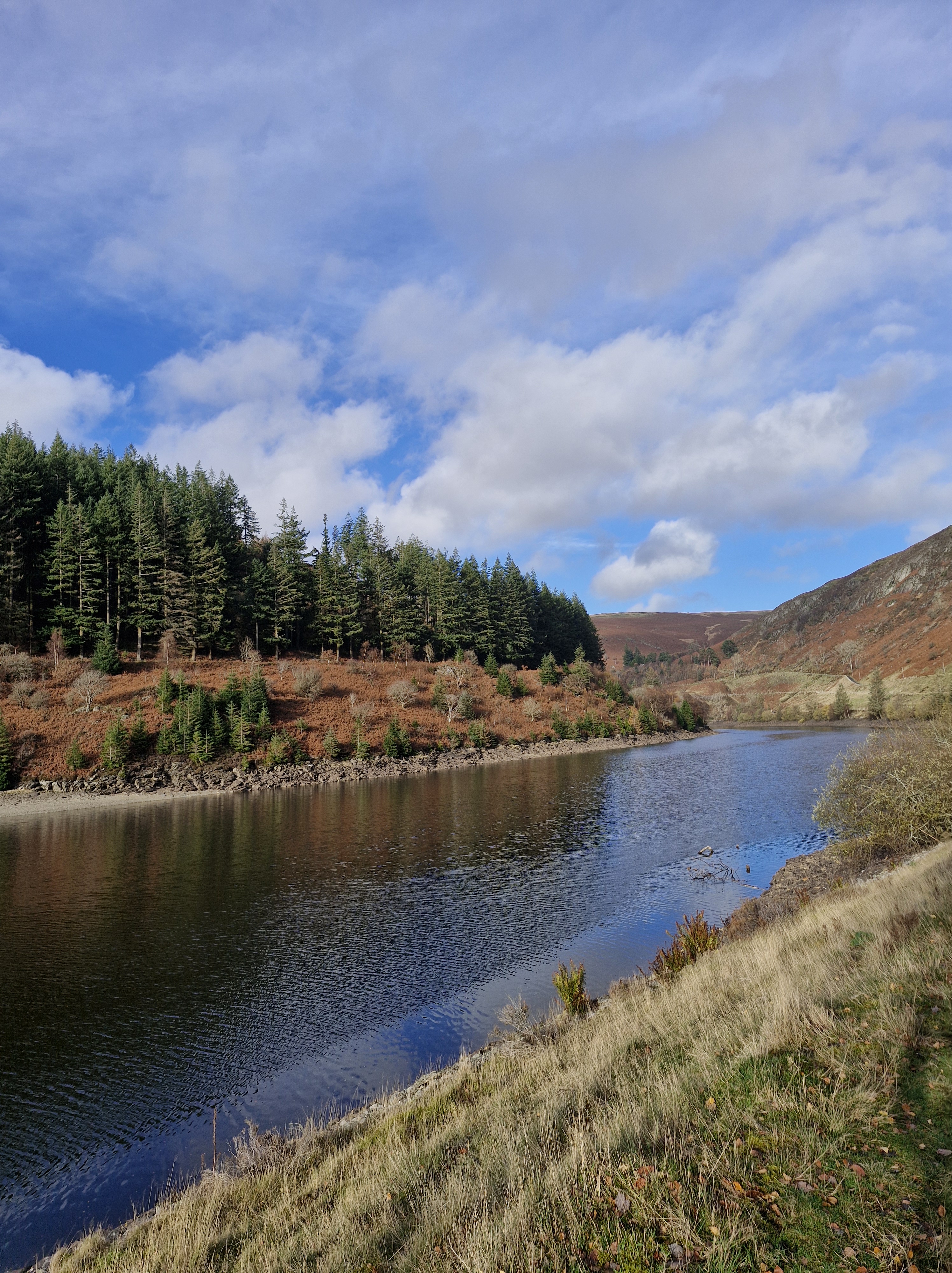
The walk follows a valley that was formed by the same Ice Age meltwater that formed the Gwaun Valley further down the coast.
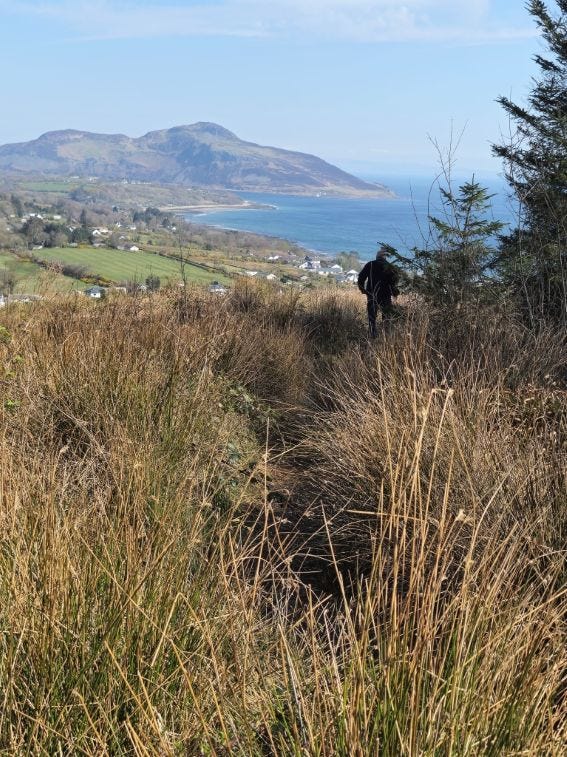
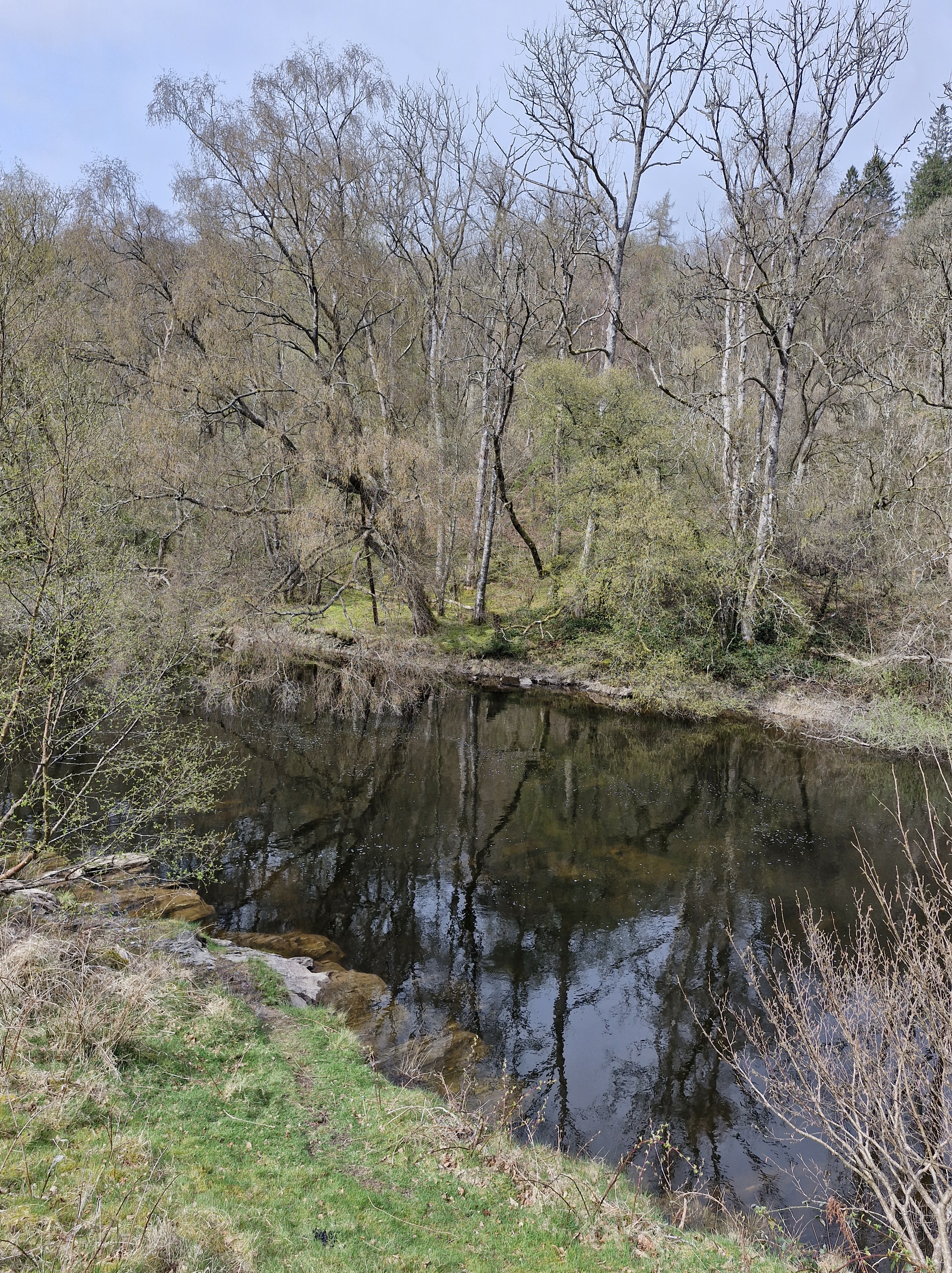
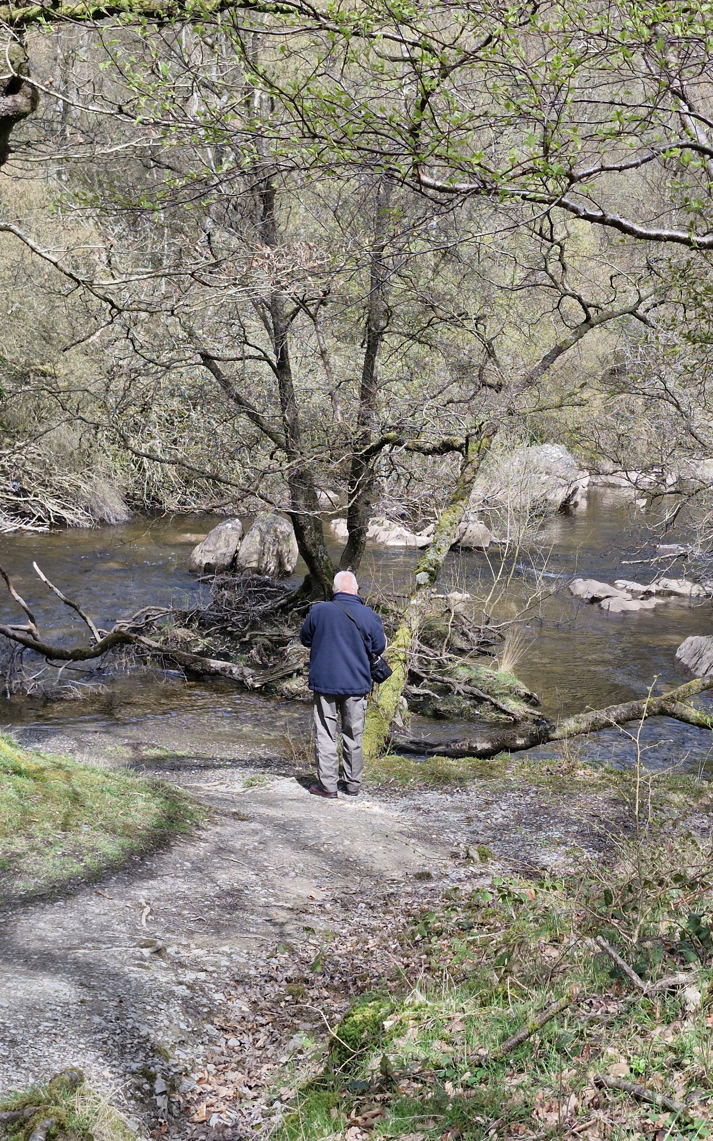
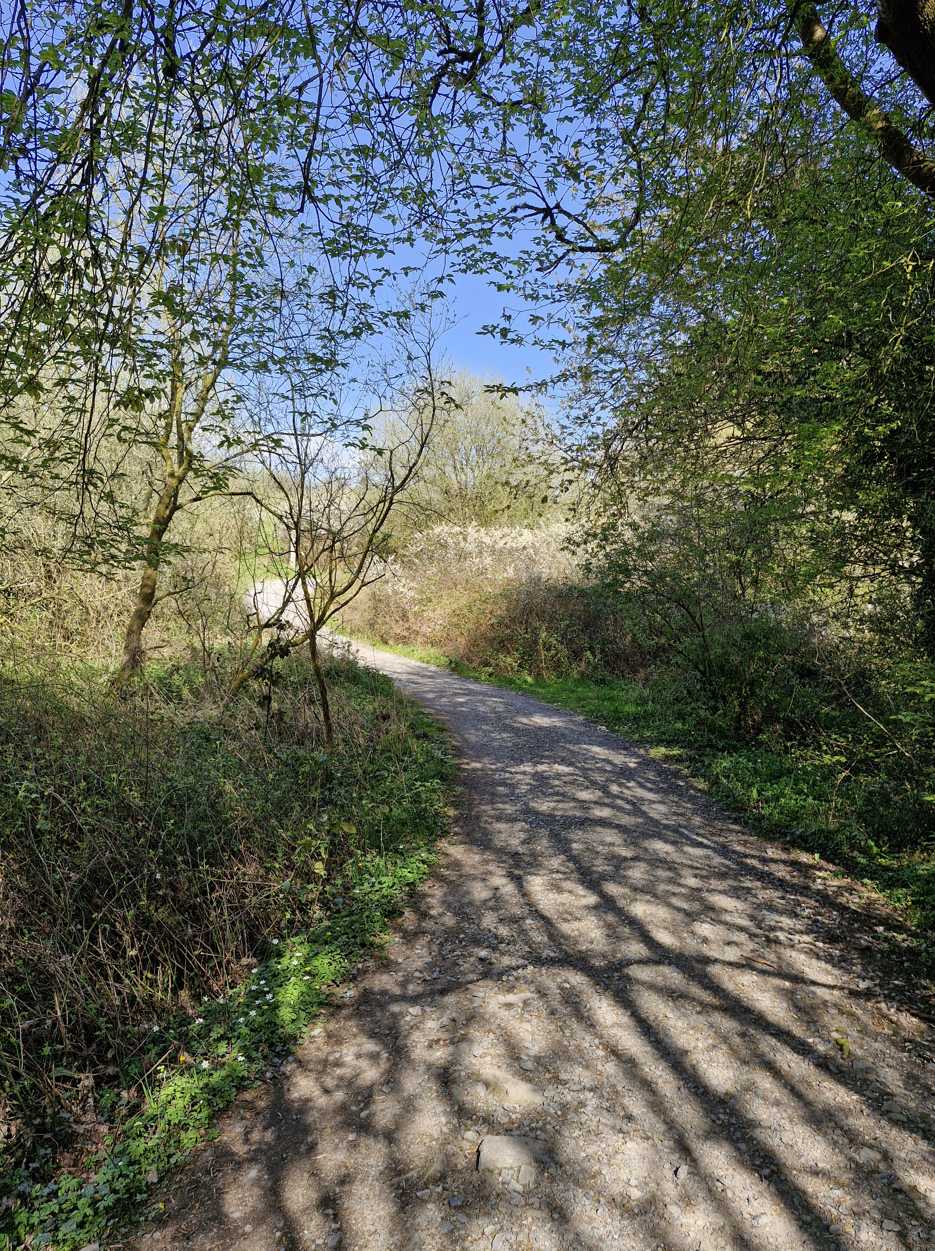
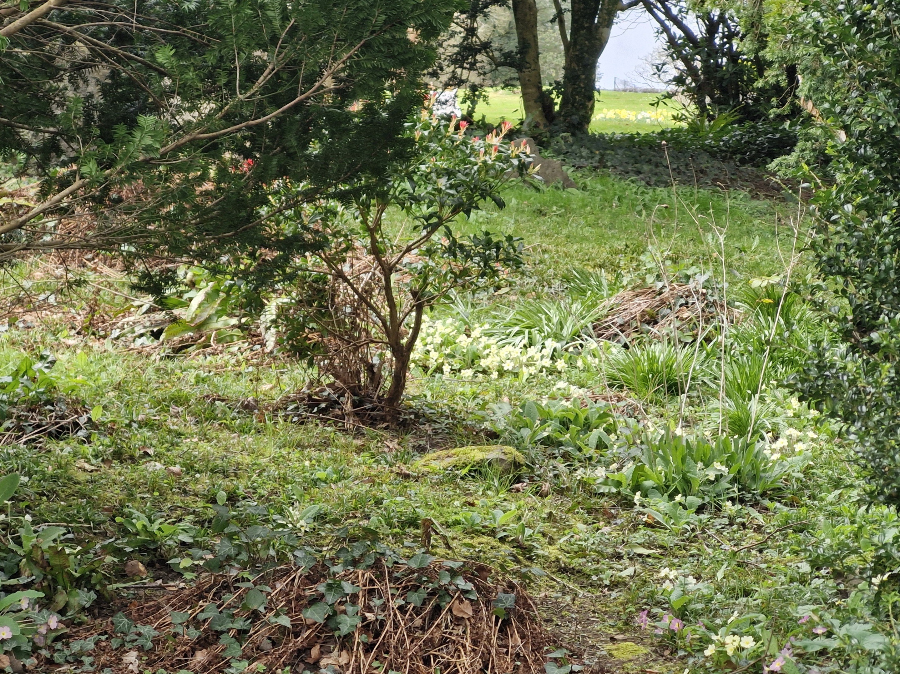
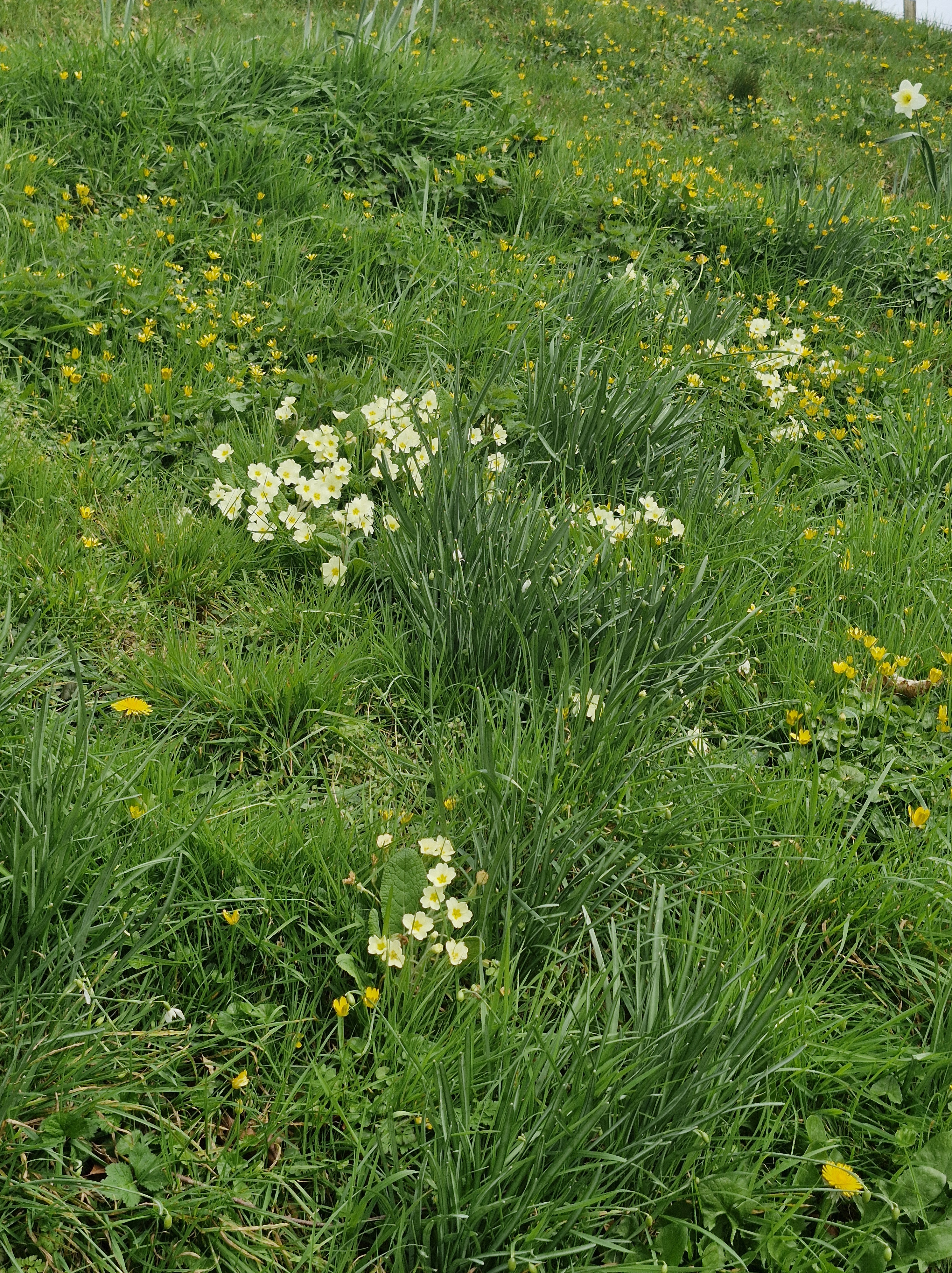
Although it was quite warm when we set off it was pleasant walking along the path through the valley with the overhanging trees giving some shade.

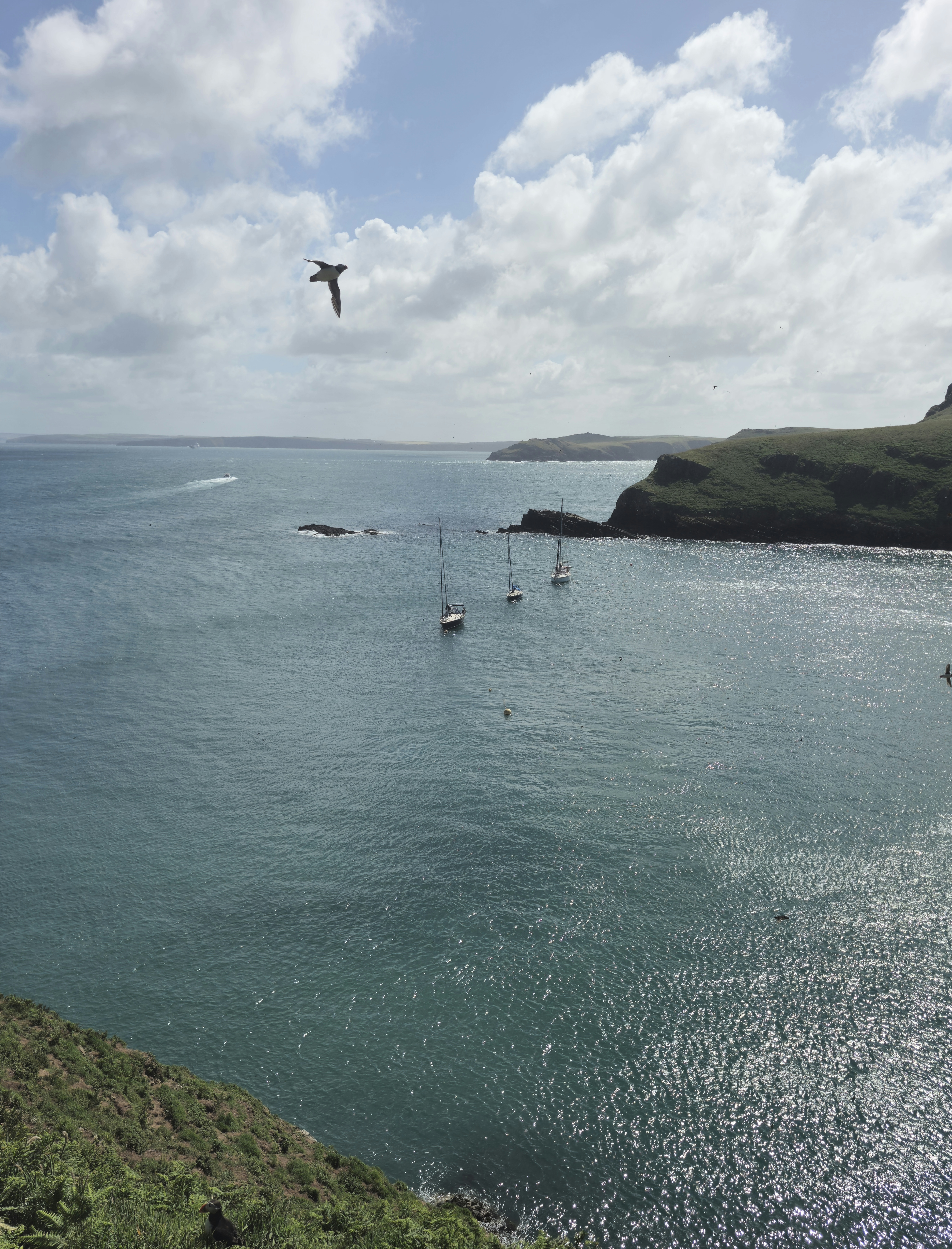
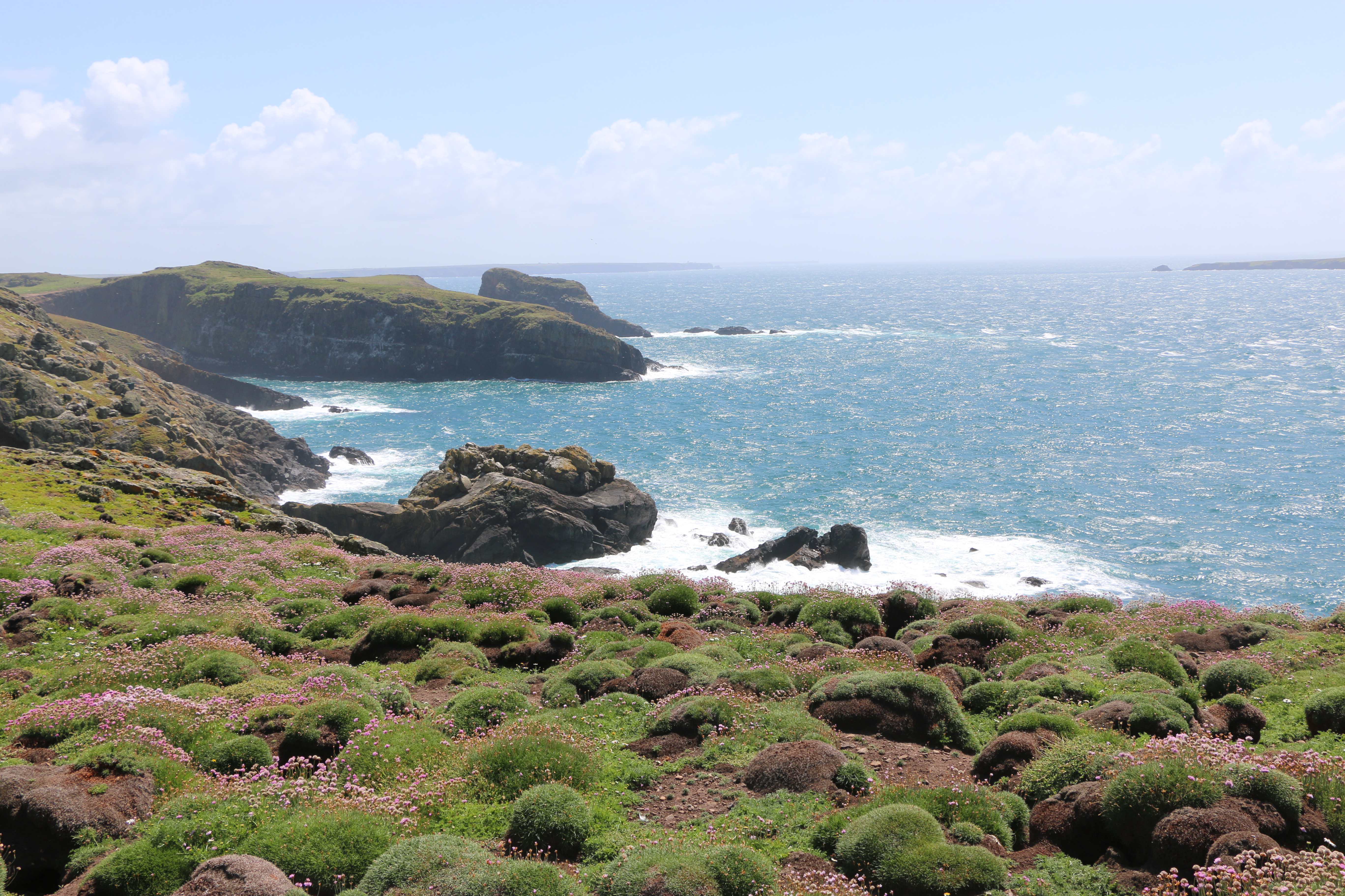
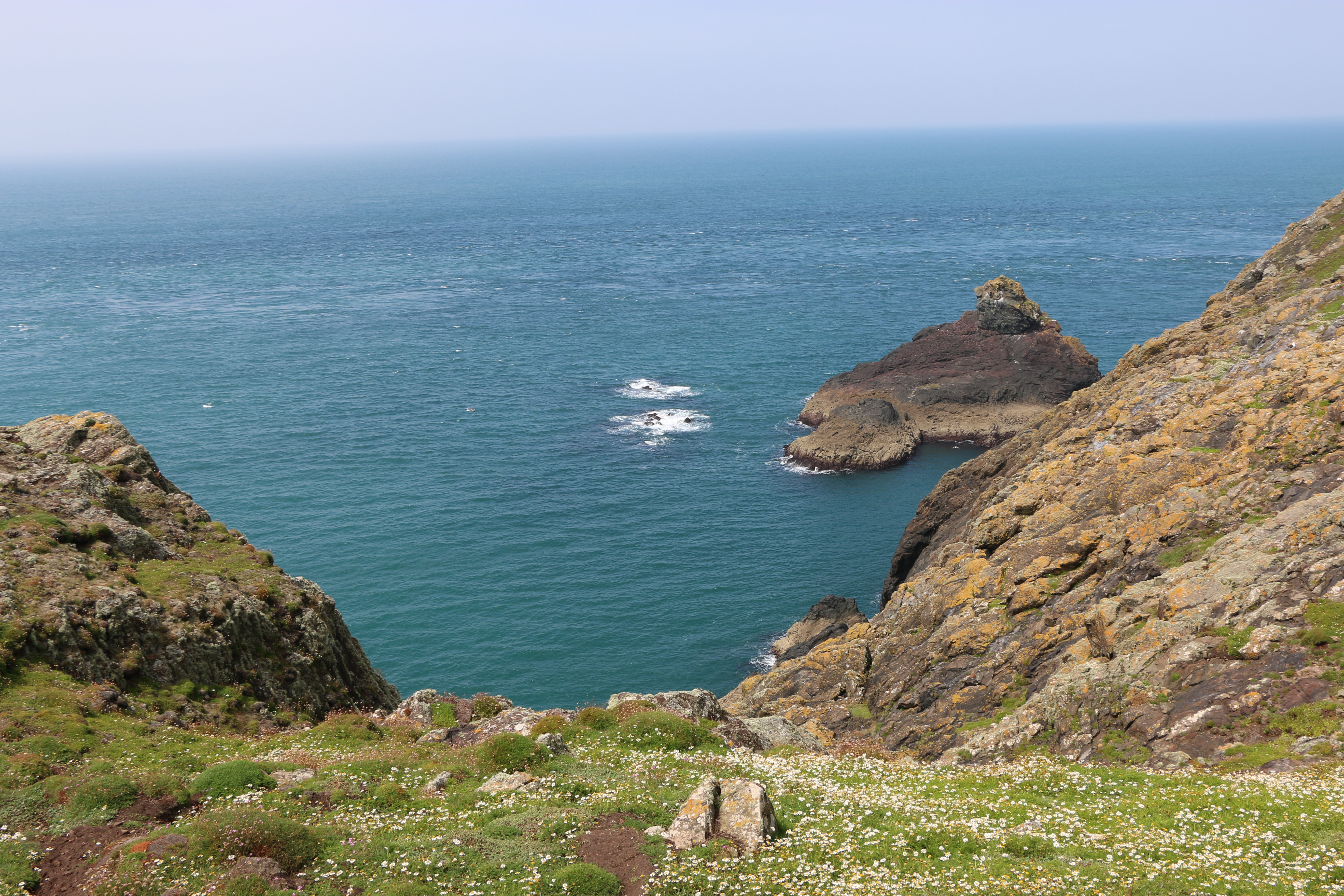
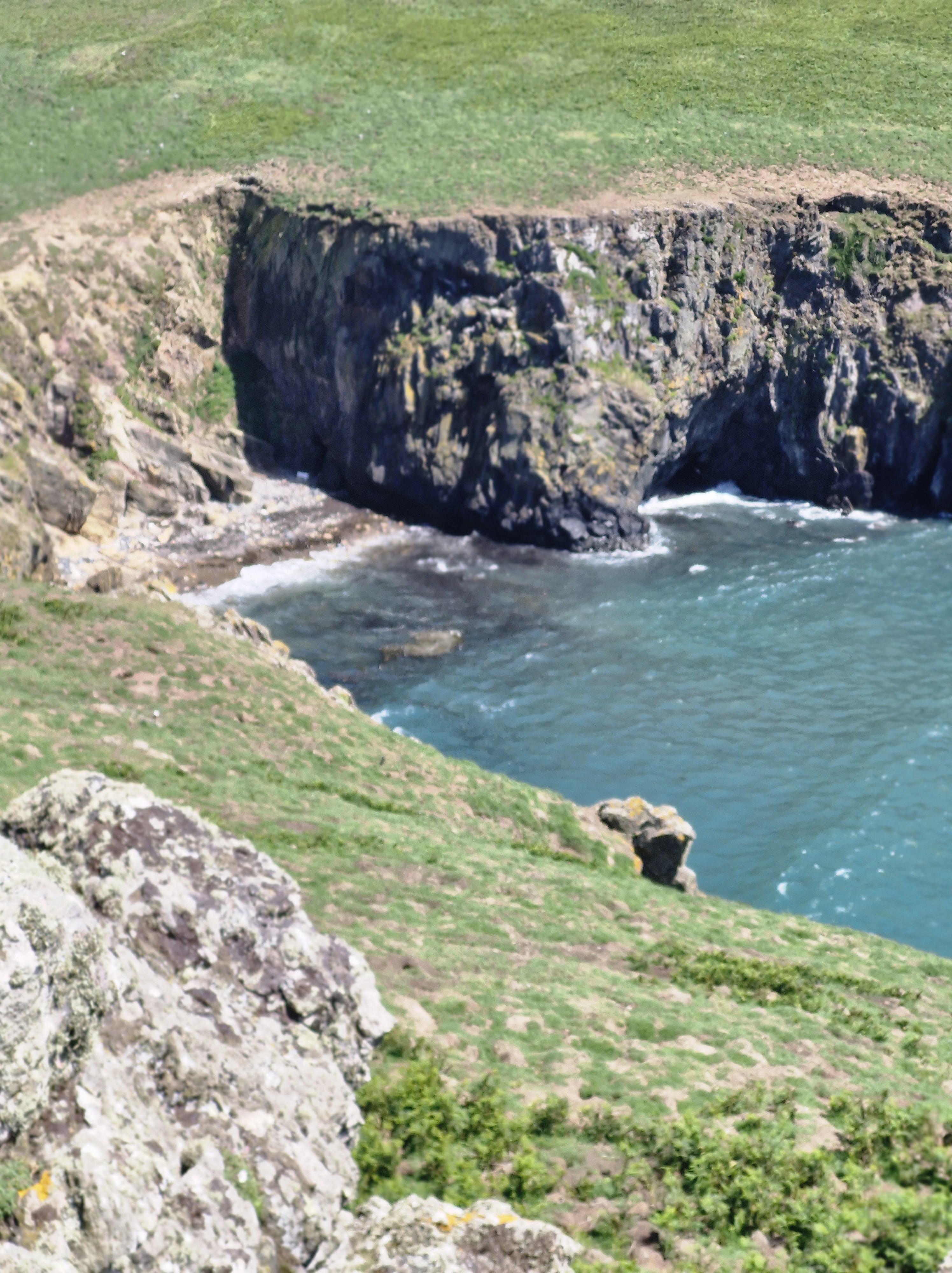
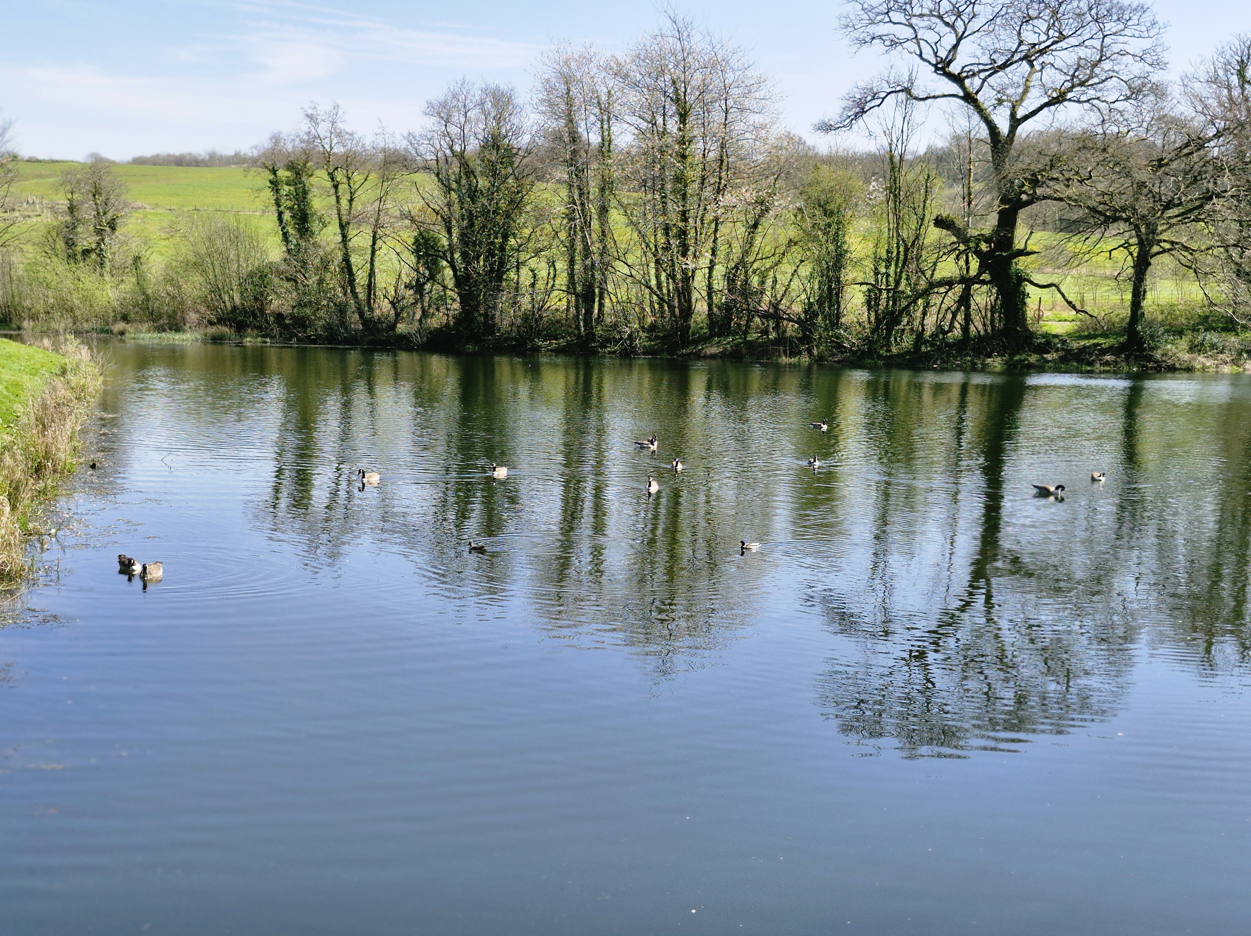
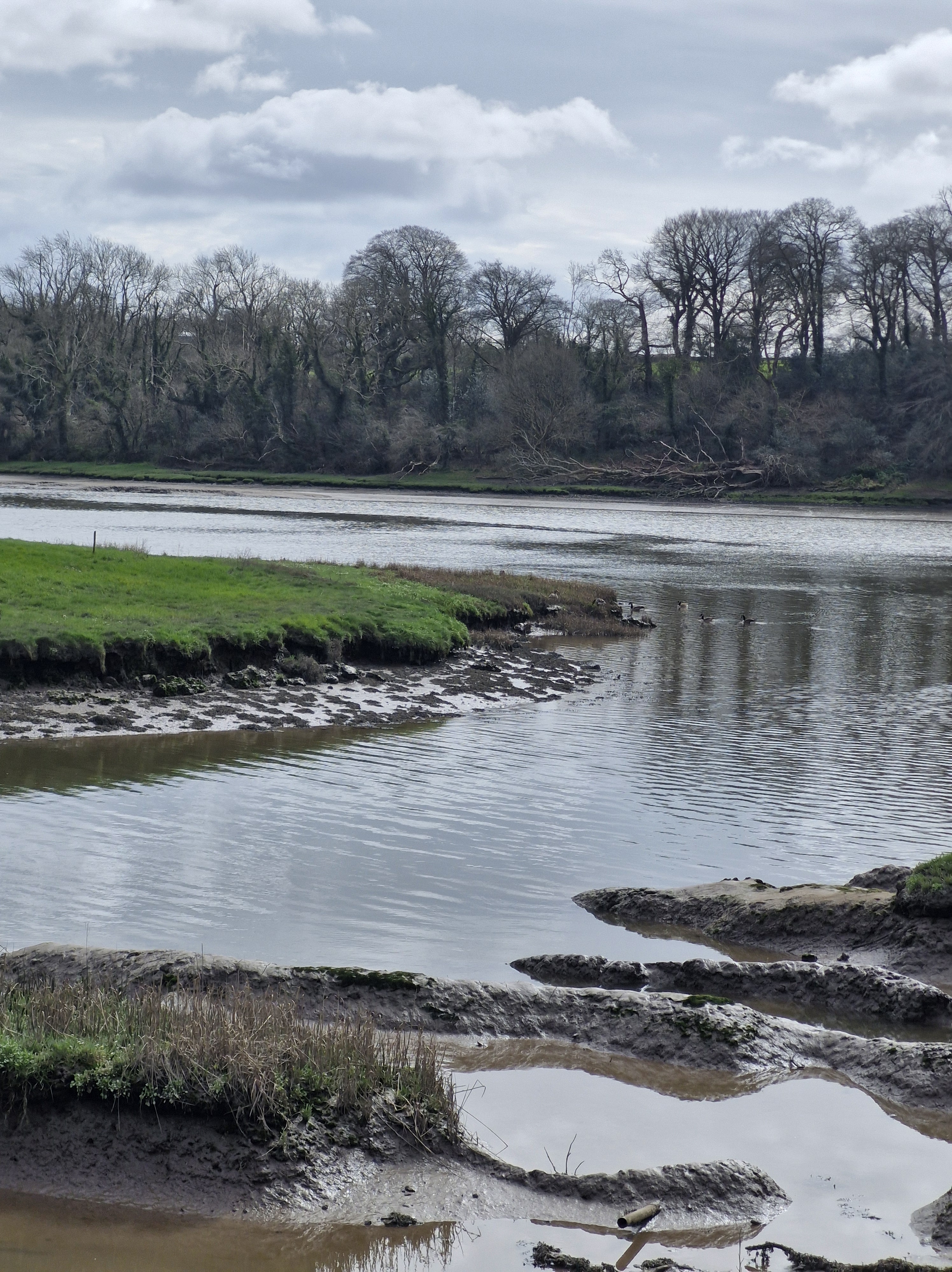
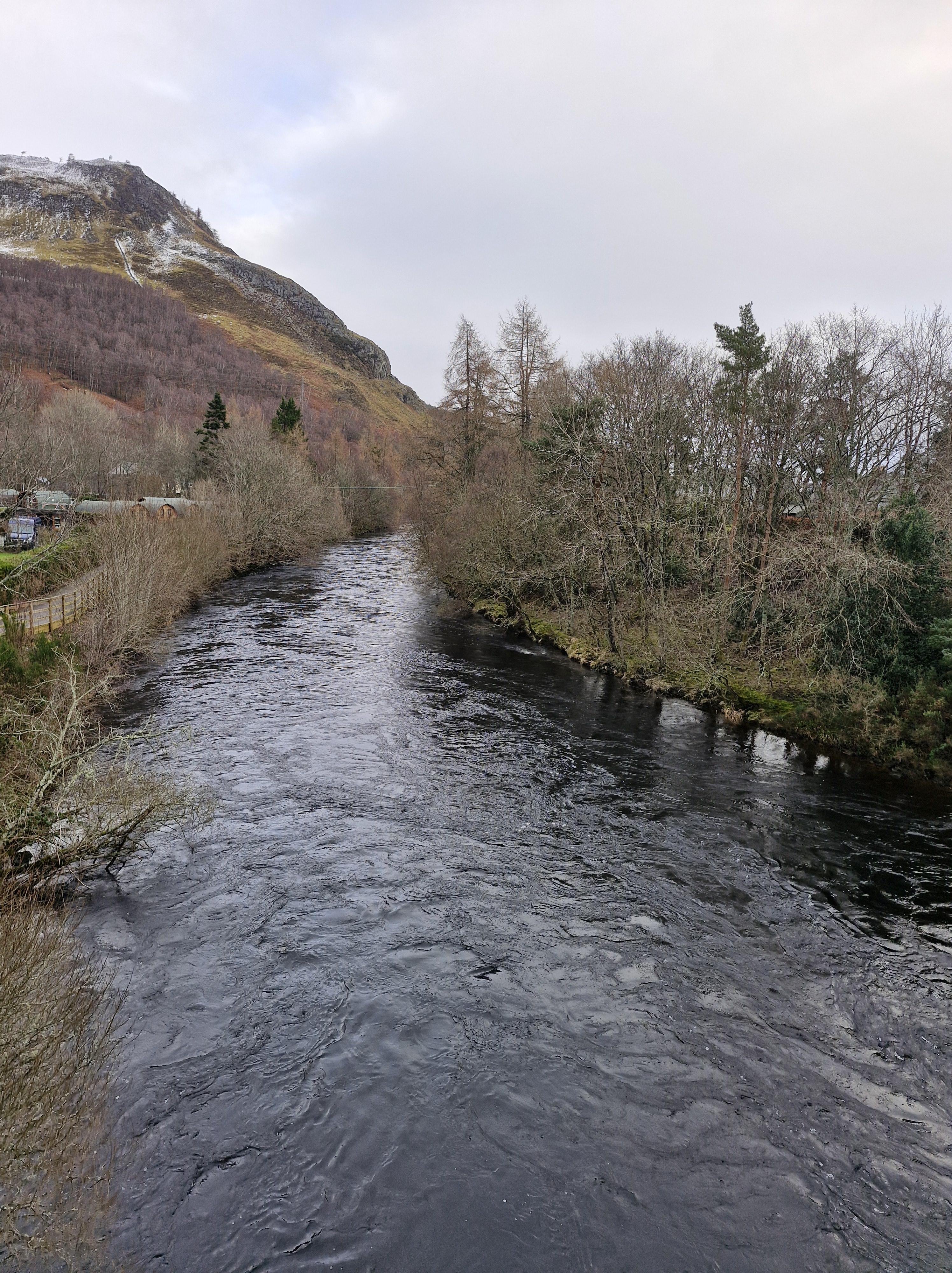
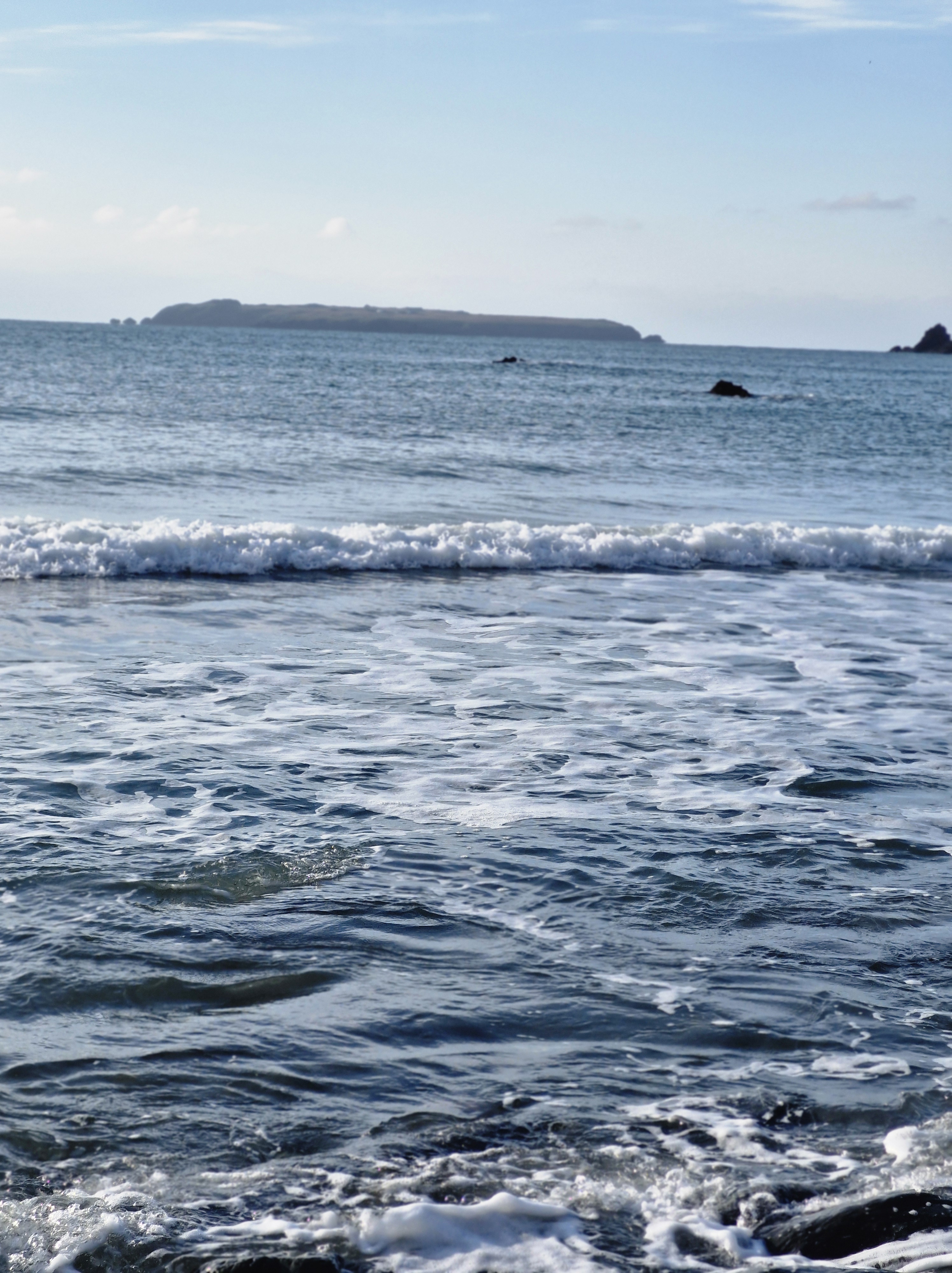
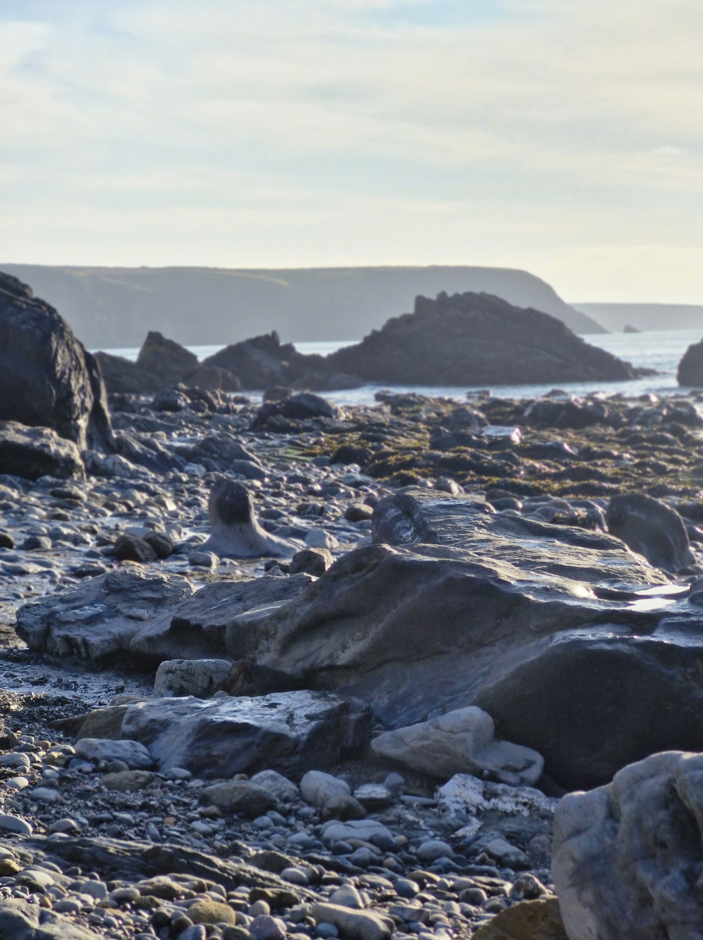
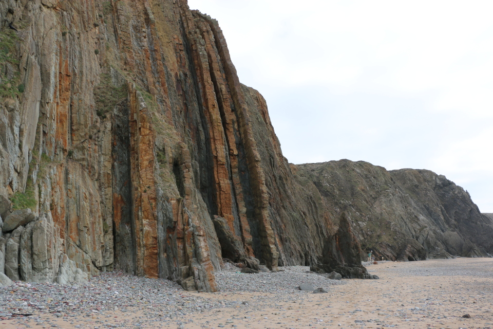
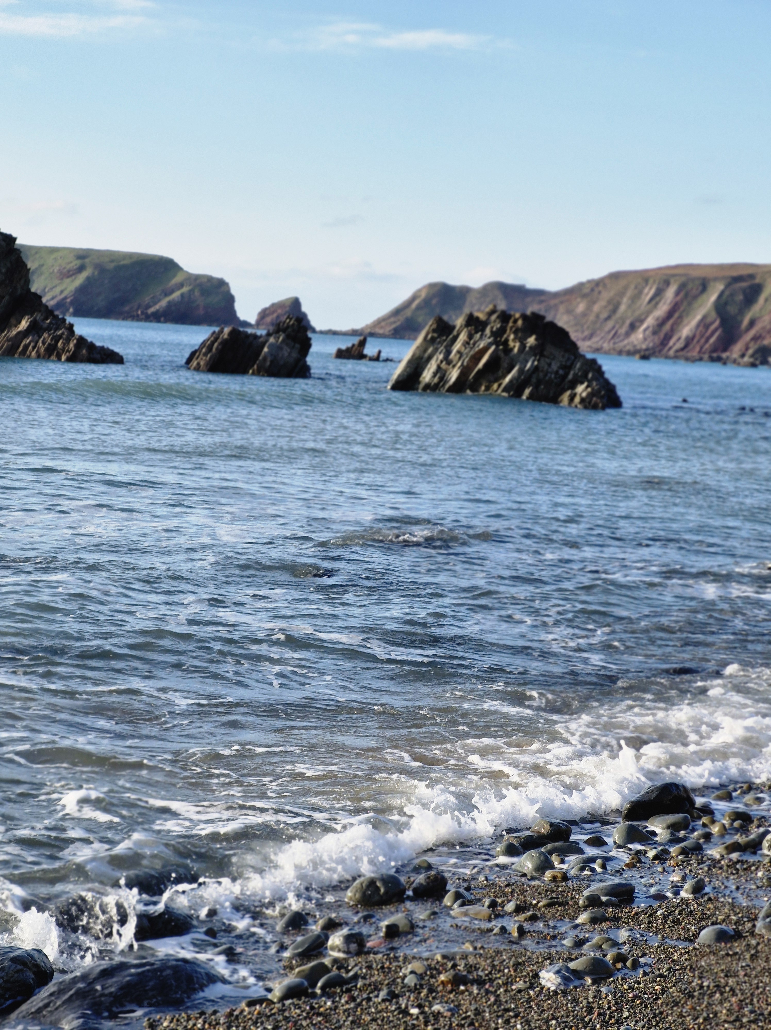
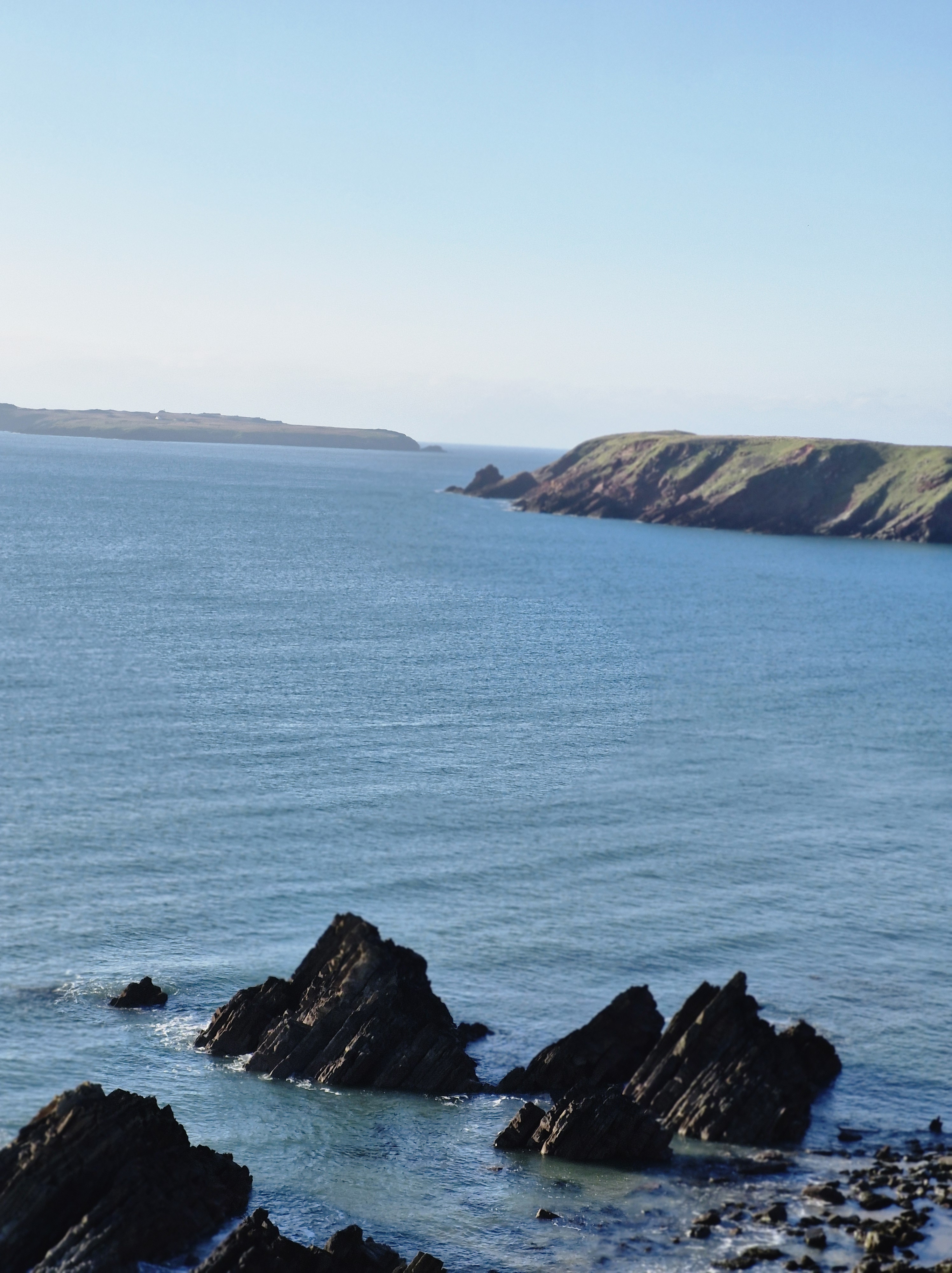
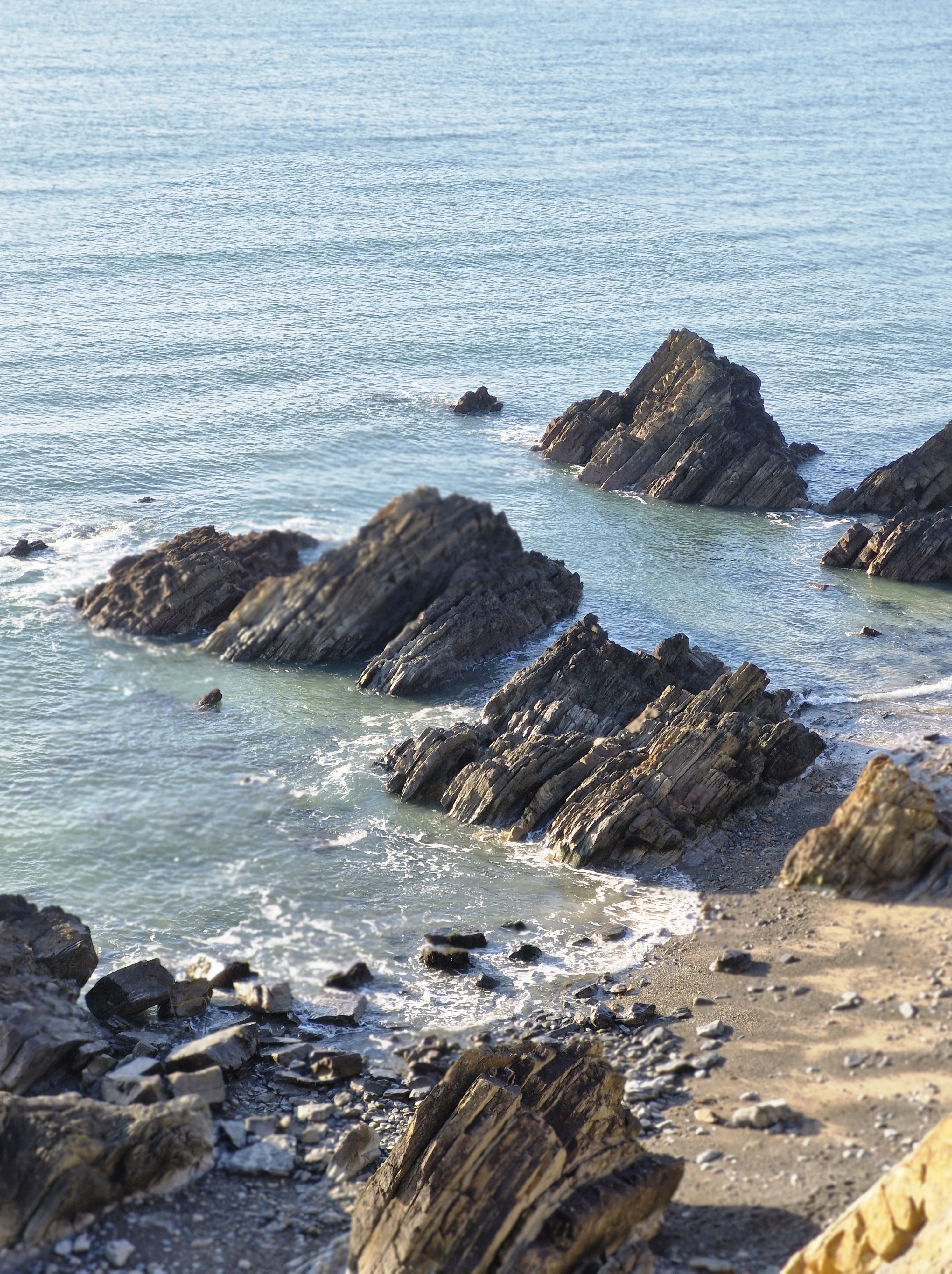
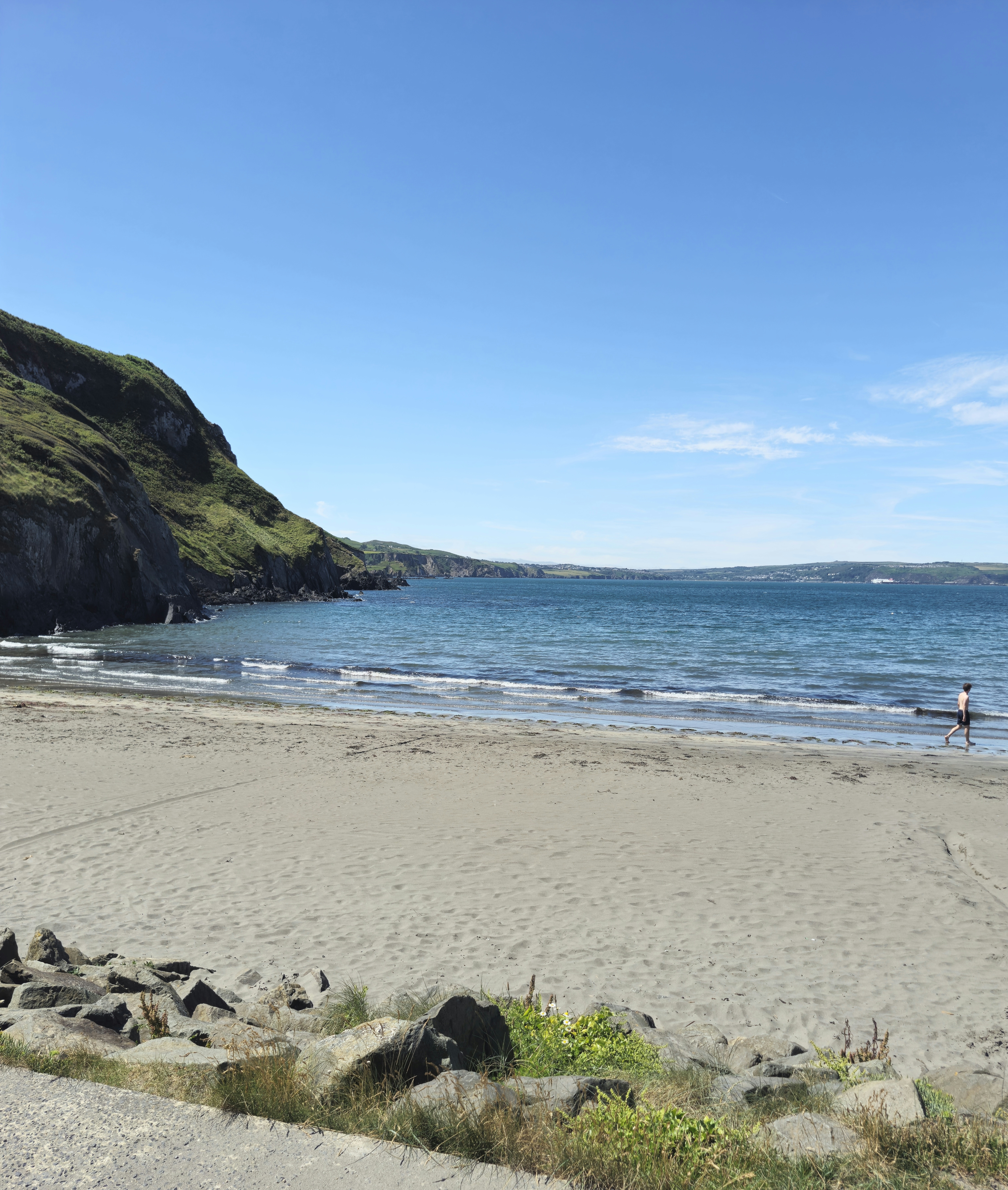
Before long we reached the sandy cove of Cwm-yr Eglwys, the hamlet on the eastern side of the Dinas Island Peninsula, so called because a stream separates it from the mainland. The bay is surrounded by tall headlands, and a rocky outcrop.
When the tide is out there are a number of rockpools, a perfect place to find such sea creatures as starfish, sea anemones, crabs and more. However, today the tide was well in and there were quite a few swimmers and paddle boards.

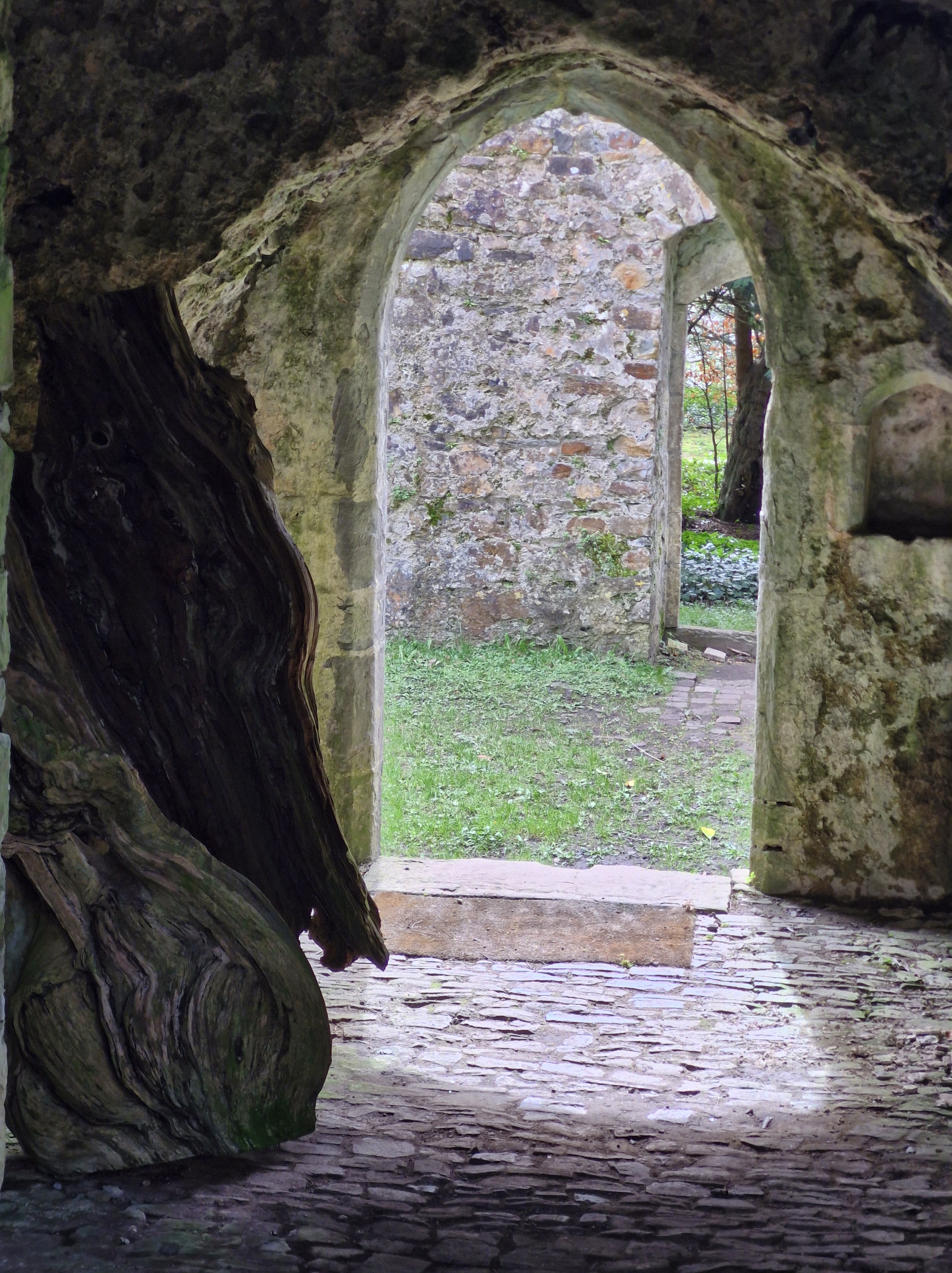
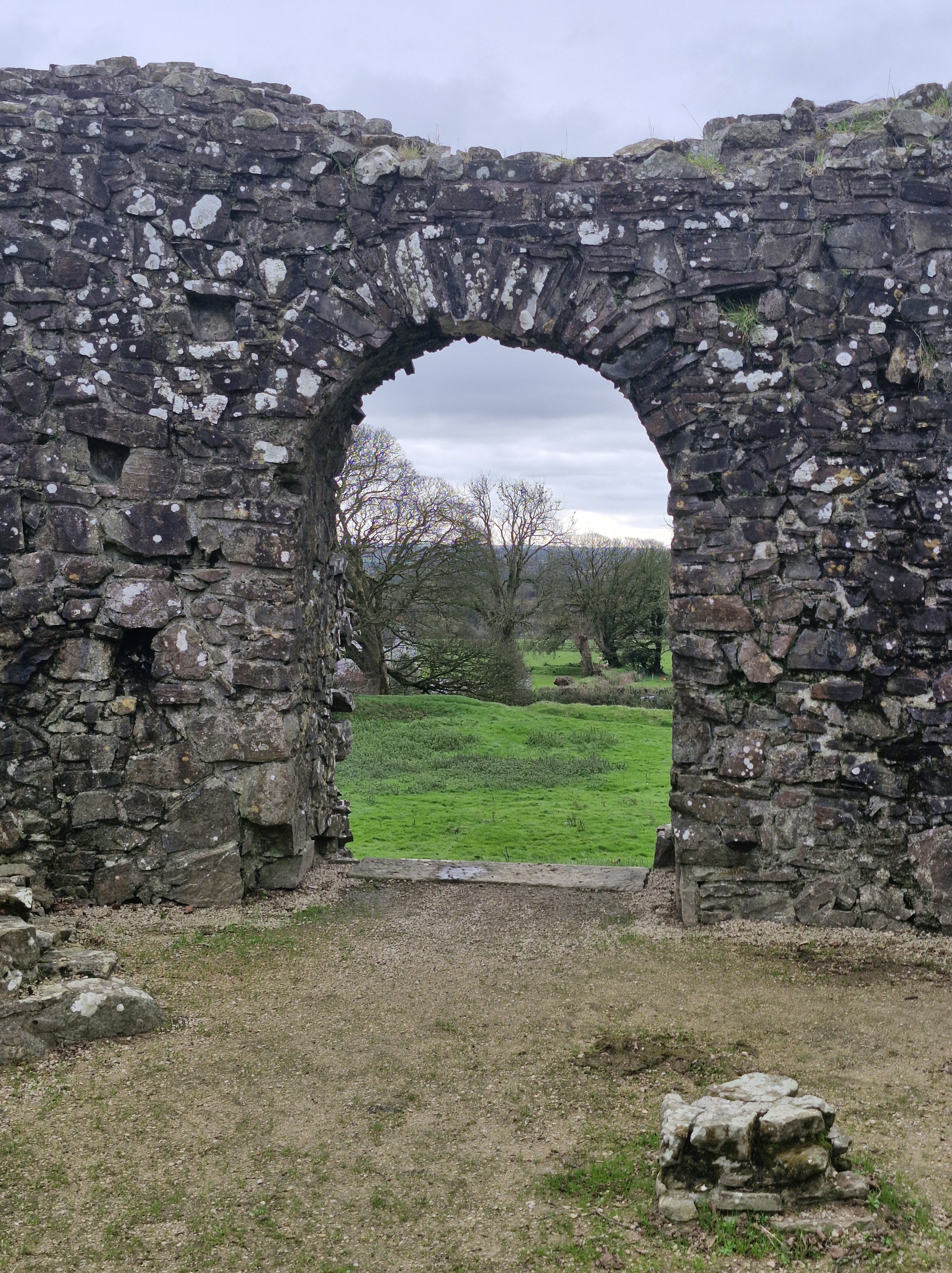
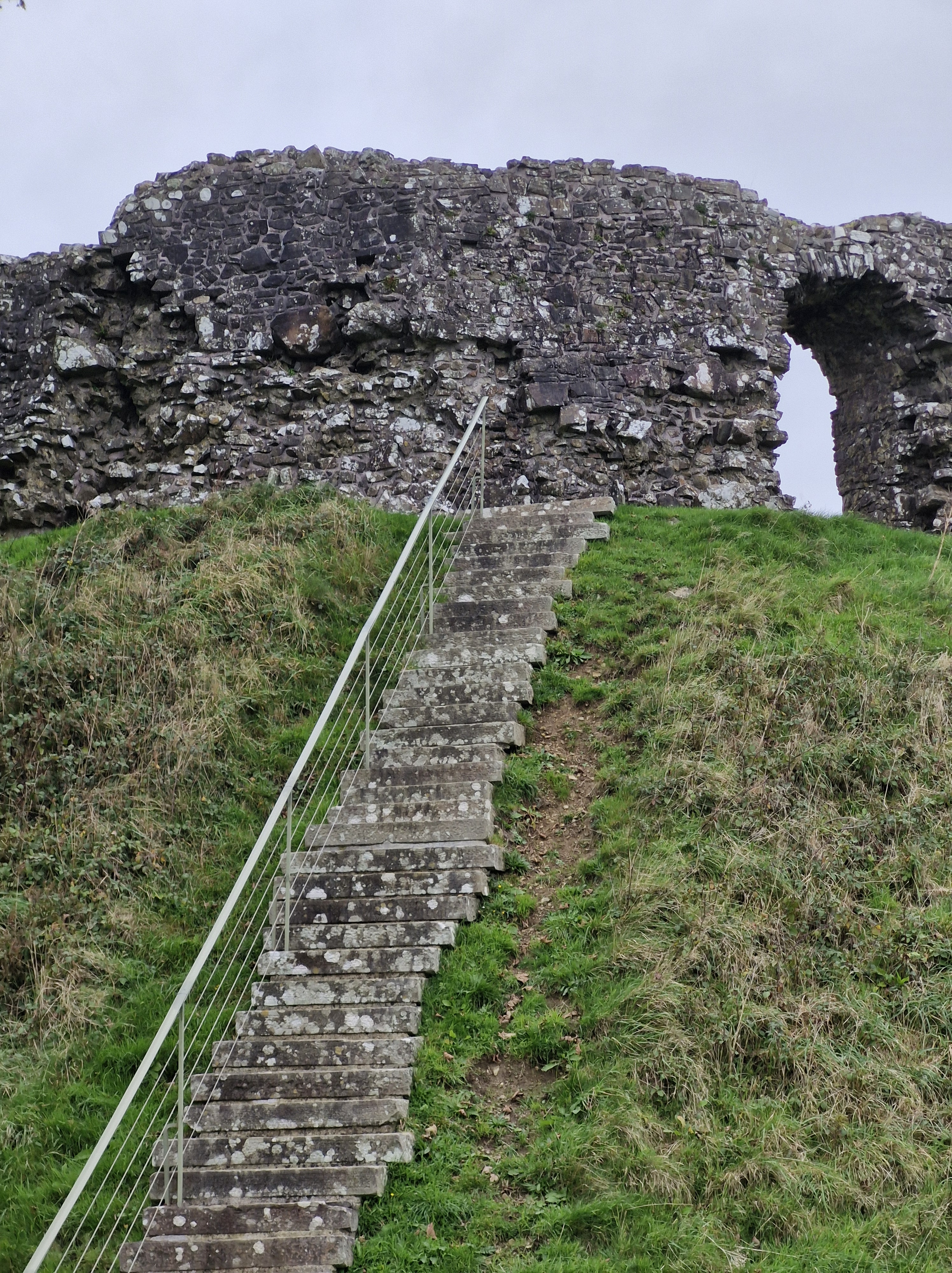
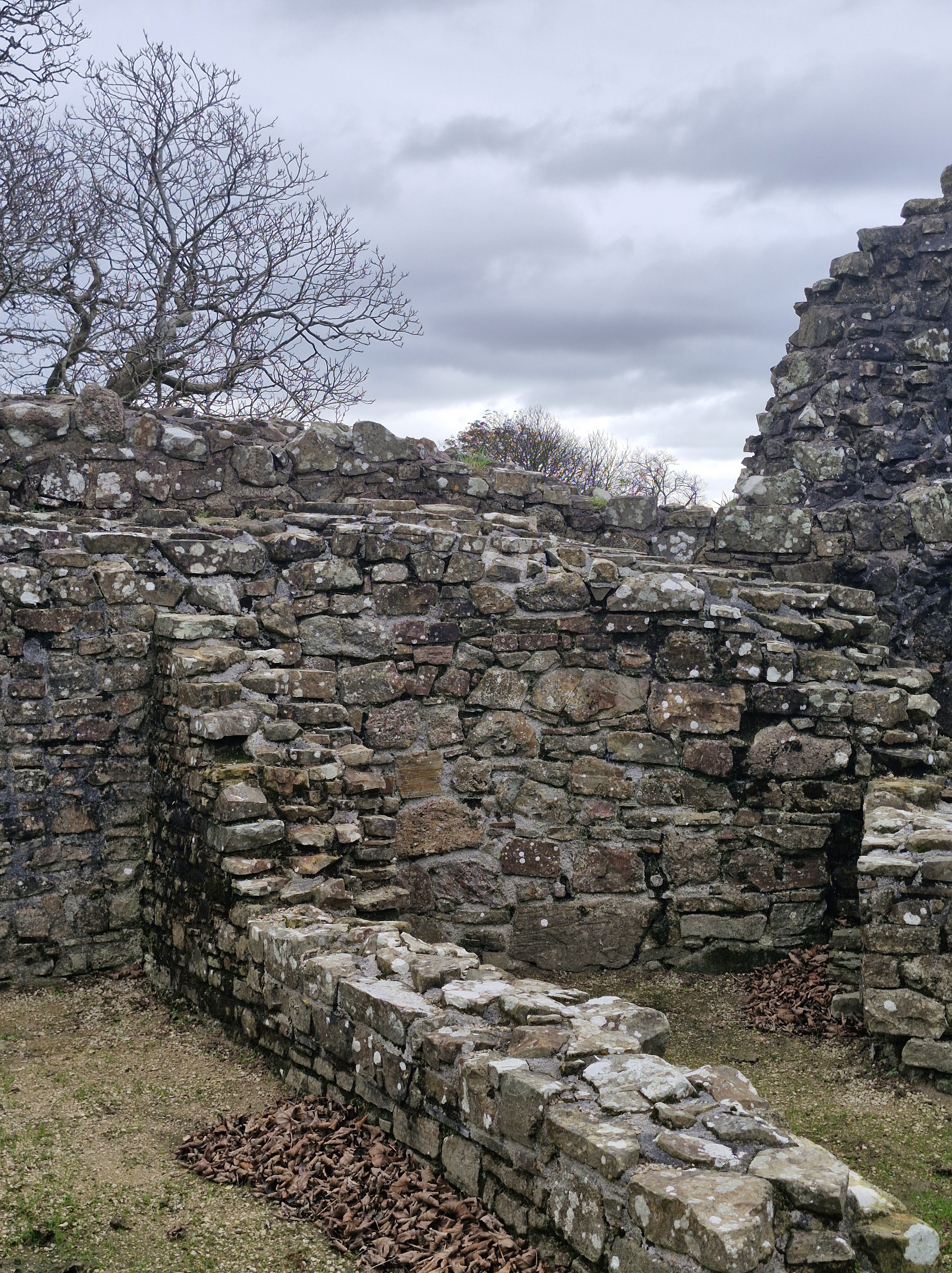
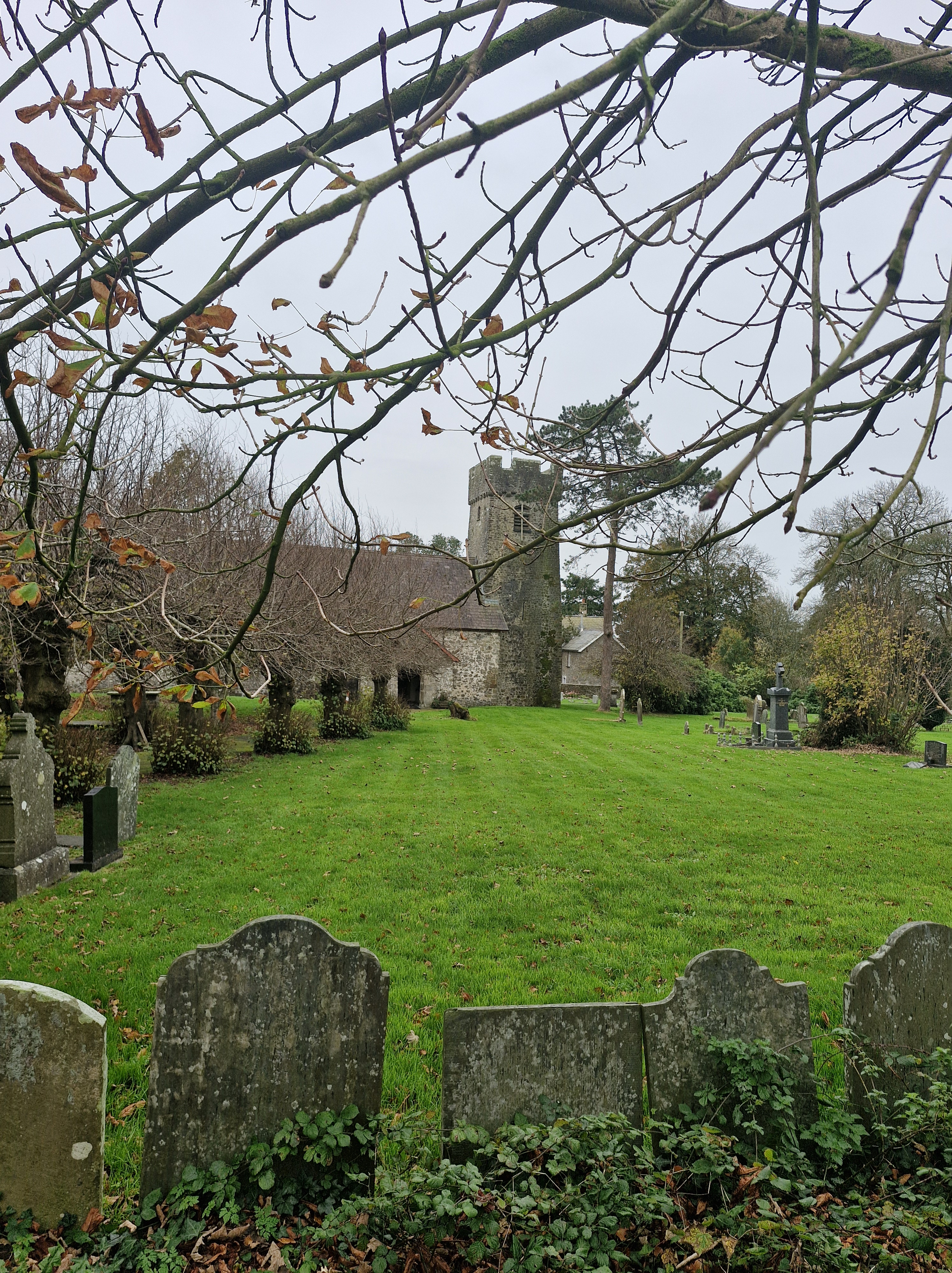
For a few moments we sat and enjoyed the peace before turning our attention to the remains of Cwm-yr-Eglwys church, which was dedicated to St Brynach.
The church was destroyed in the great storm during the night of 25th/26th October 859. This is recorded as one of the worst storms in history of the British Isles. As well as wreaking havoc amongst shipping, it caused considerable damage on land.
One of the greatest shipping losses was the Liverpool-Australia passenger steamship, the Royal Charter, which was wrecked off the coast at Moelfre, Anglesey, with the loss of four hunded and fifty lives. This tragedy motivated the implementation of the first storm warning service by the Board of Trade’s new Met Office.
After a while we made our way back to Pwllgwaelod. The ferry was crossing towards Fishguard Harbour. We were hoping to have lunch at the Sailors’ Safety, the pub on the beach, but it was closed. Undaunted, we made our way to The Harp at Letterston, where we had a lovely meal that rounded off the day nicely
Author of Domestic Thrillers, Domestic Noir, Contemporary Fiction & Historical Family Sagas.