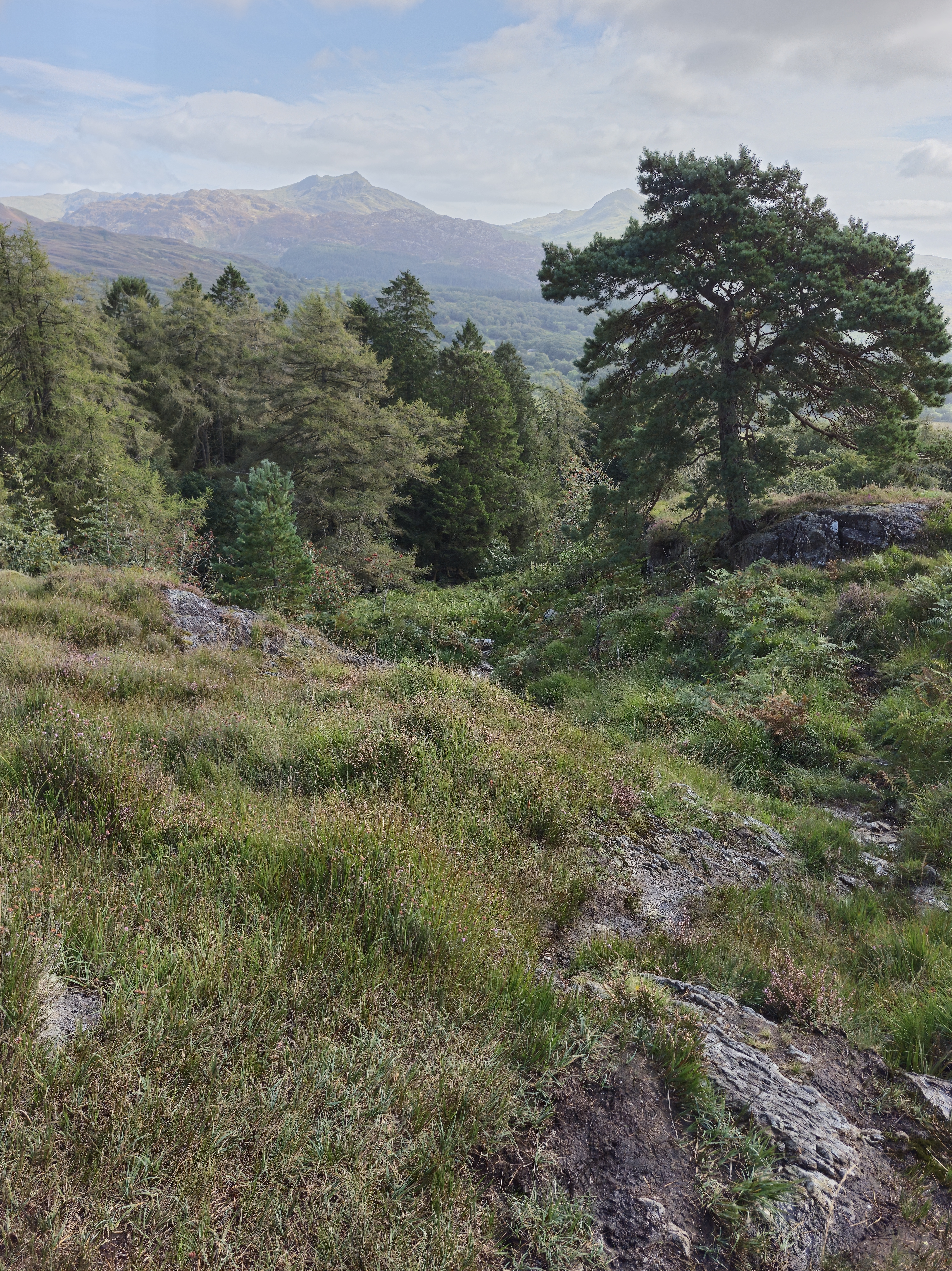
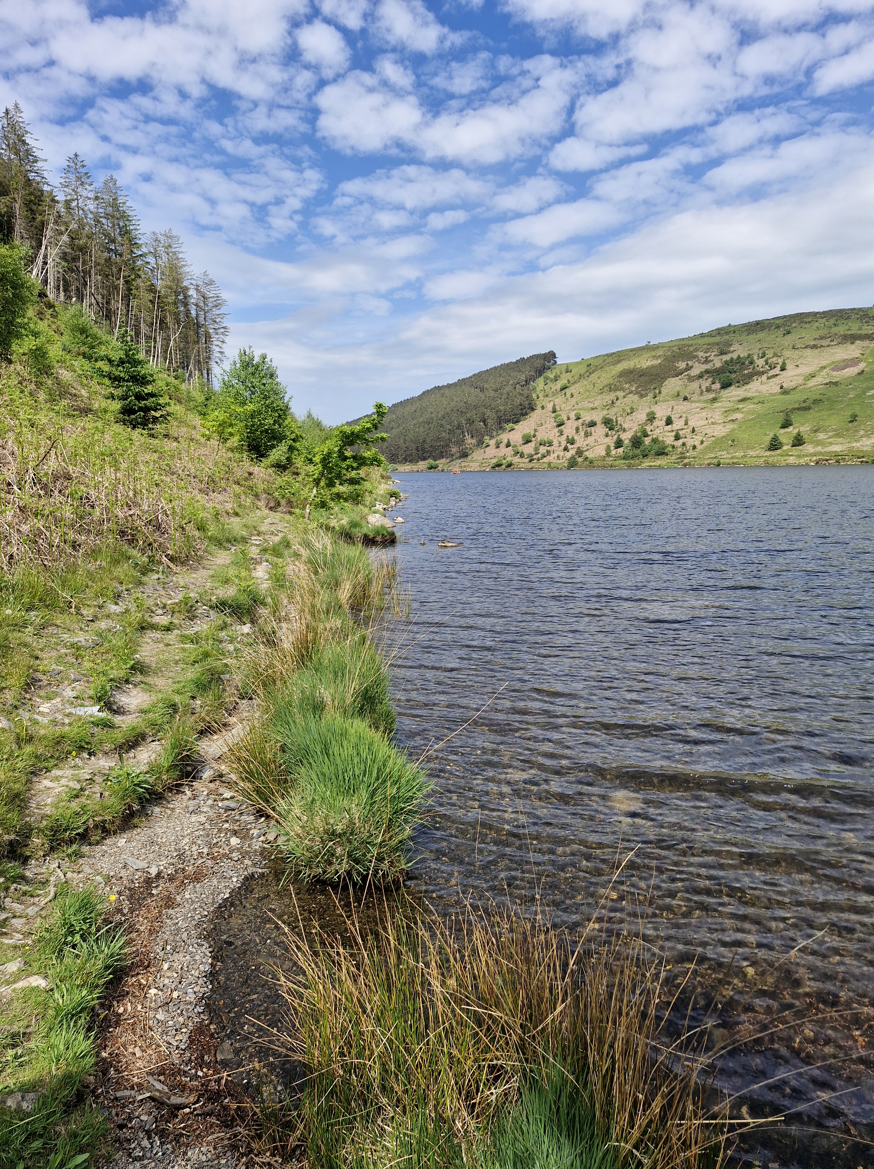
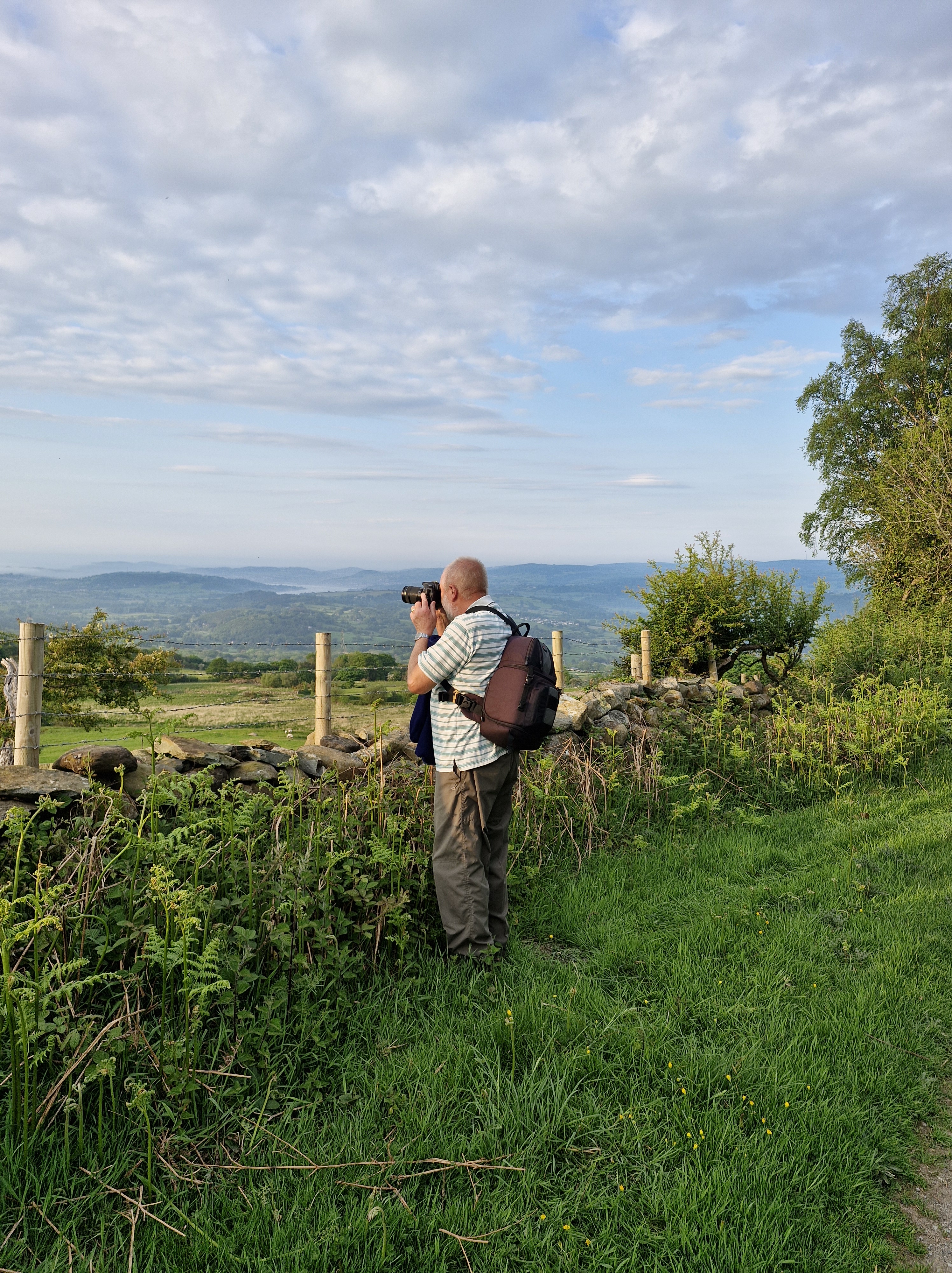
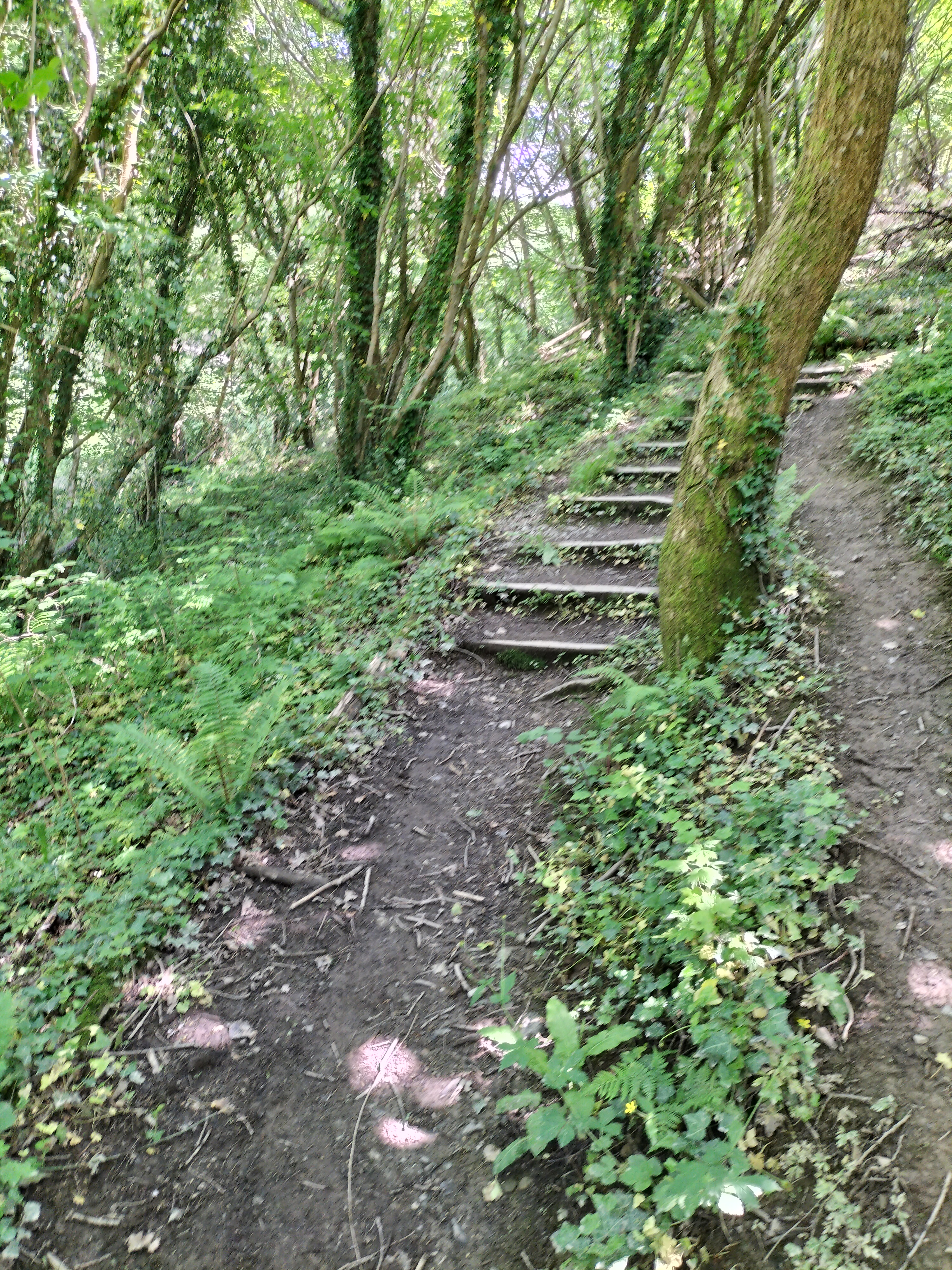
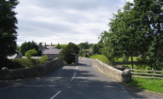
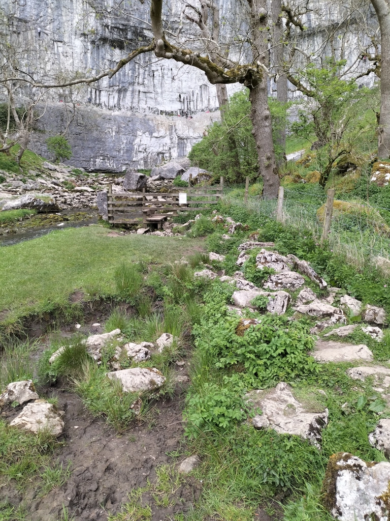
Where We Walked Kingscross Point Arran Scotland #Walks #Photographs

Our second walk was an easy circular stroll – the Photographer assured me. I was suspicious; I’d heard that before… many times. But this time he was telling the truth!

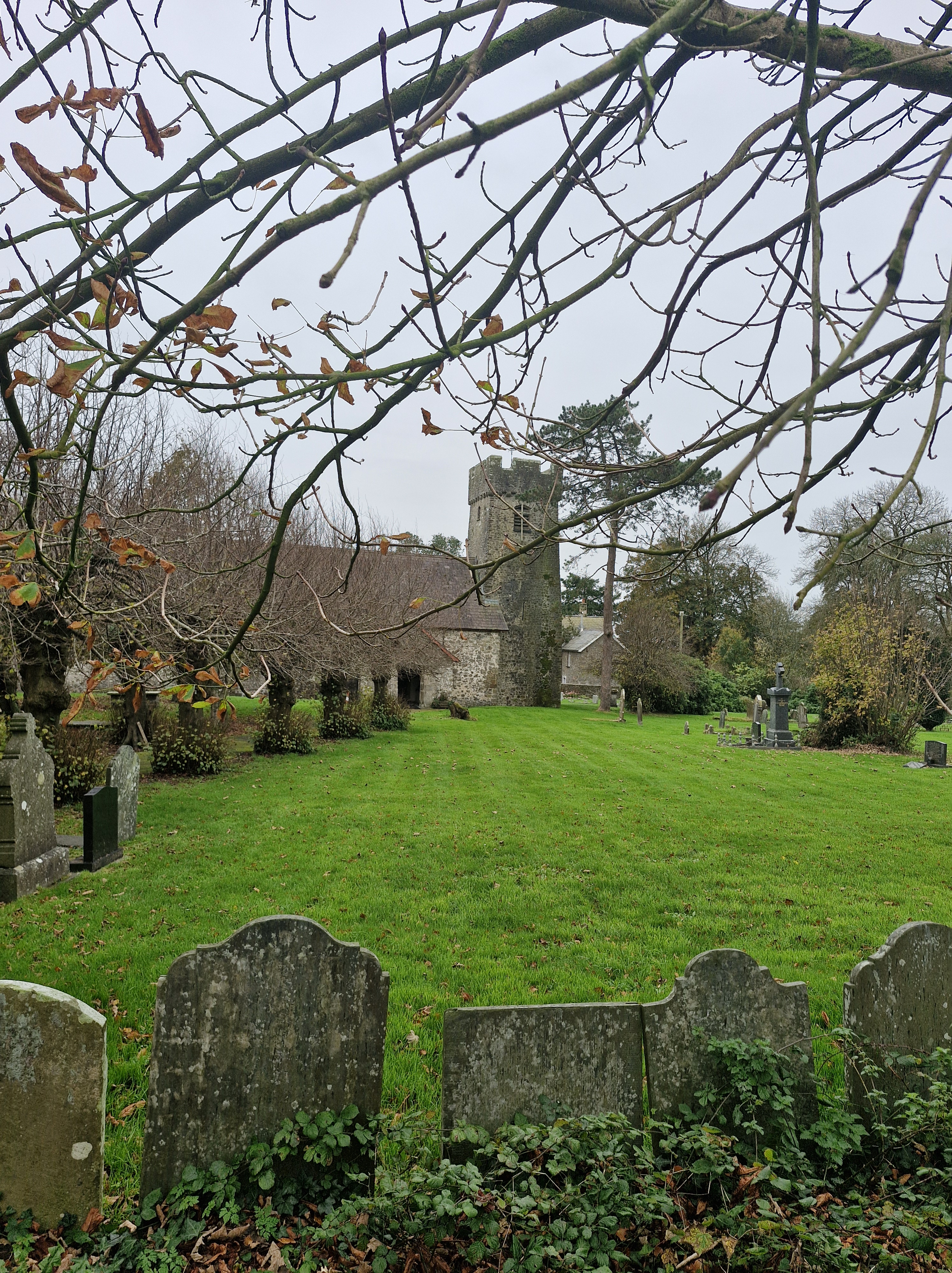
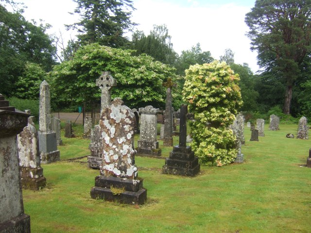
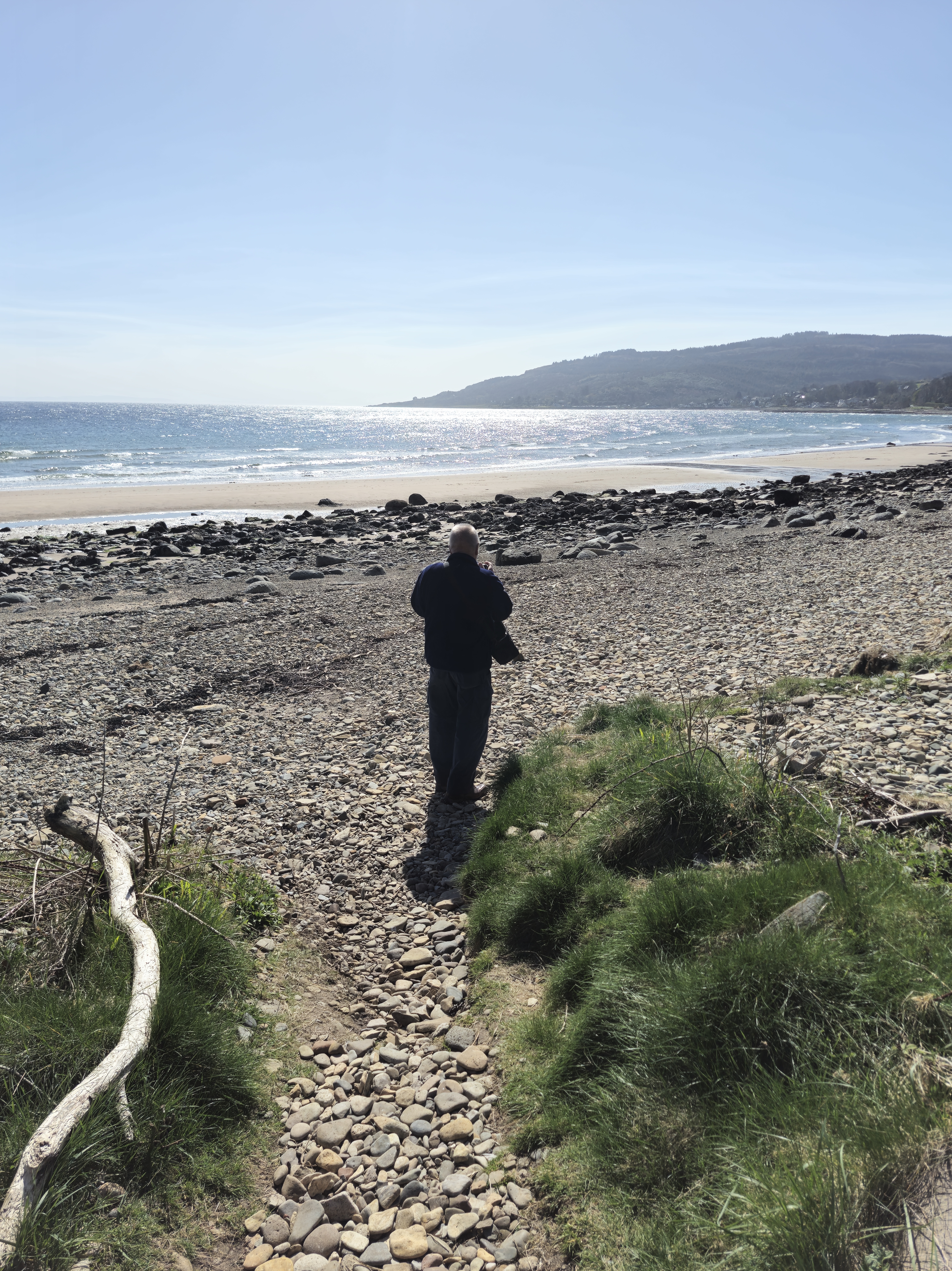
We walk from the house where we are staying – (borrowed house in order, borrowed dog, Dusk, in tow, borrowed cats fed and left behind) – and saunter along a road and past a church towards the sea. Crossing a bridge onto an unsurfaced road we pass several houses ( noting that alongside one was a building that offered fish and chips ‘occasionally’. I wondered, aloud, whether today was one of the ‘occasional’ days as we clamber over rocks onto the beach …

but eventually realise that the Photographer has lingered way behind Dusk and I.

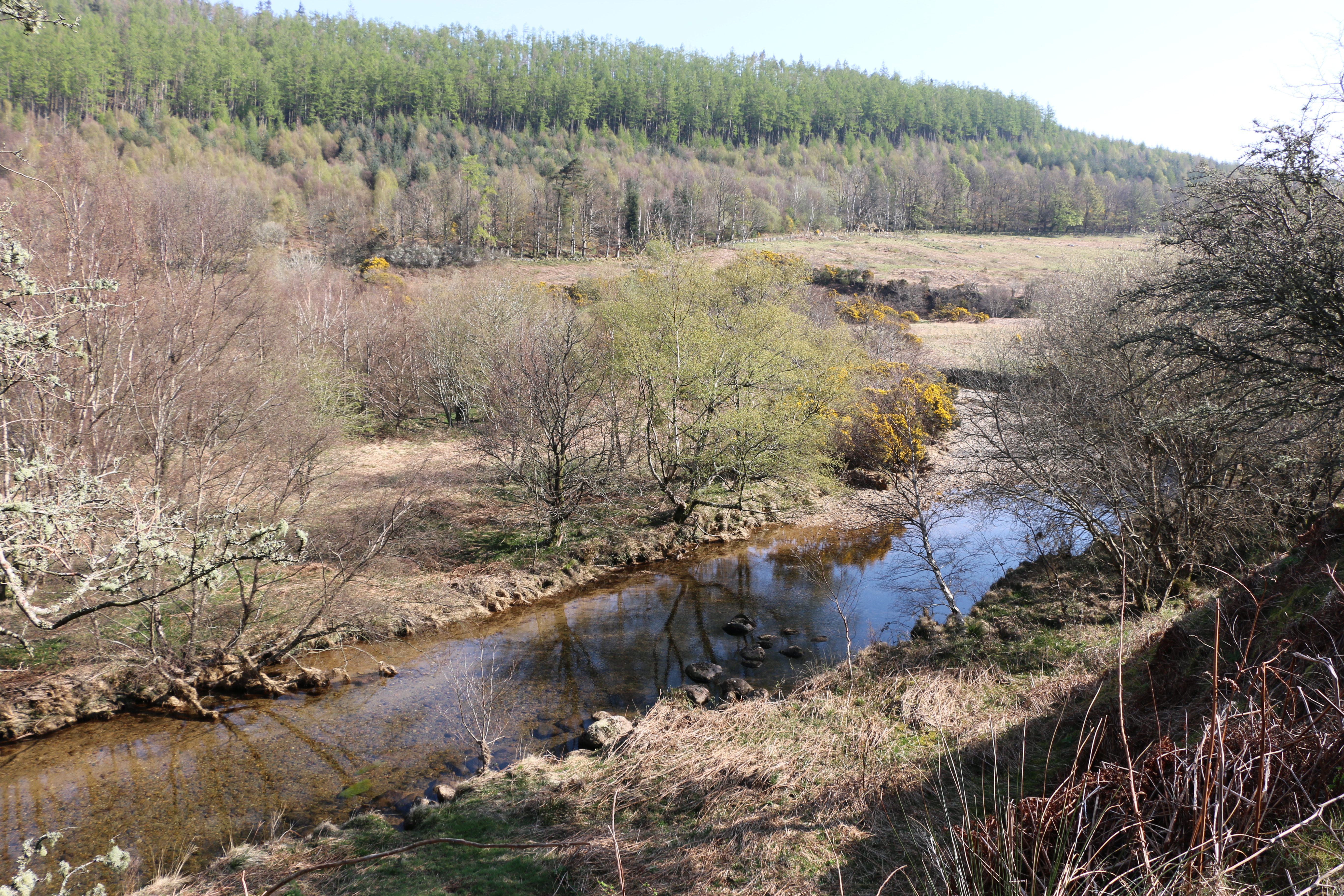
So she and I turn off at a signpost, go through a gate which leads to a path where we negotiate our way through, between gorse and brambles.

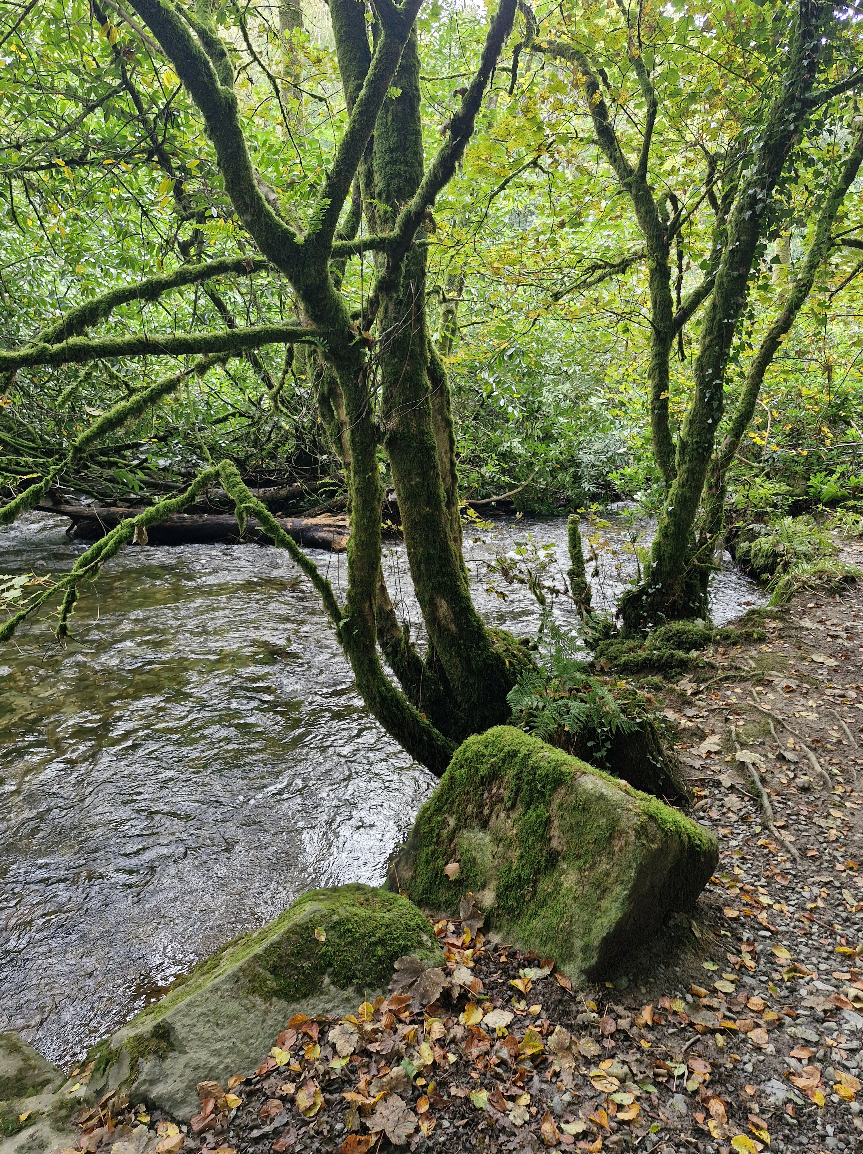
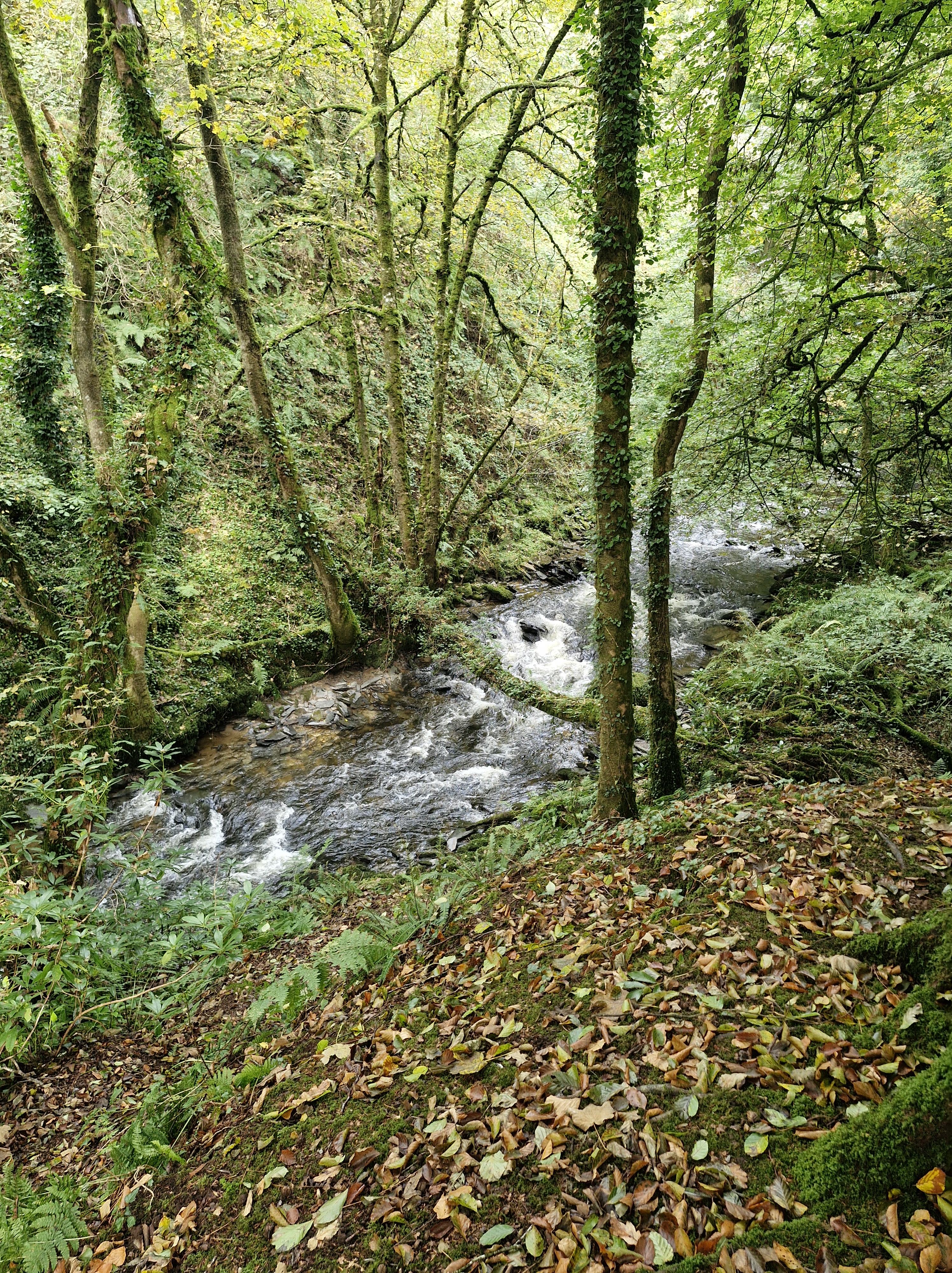
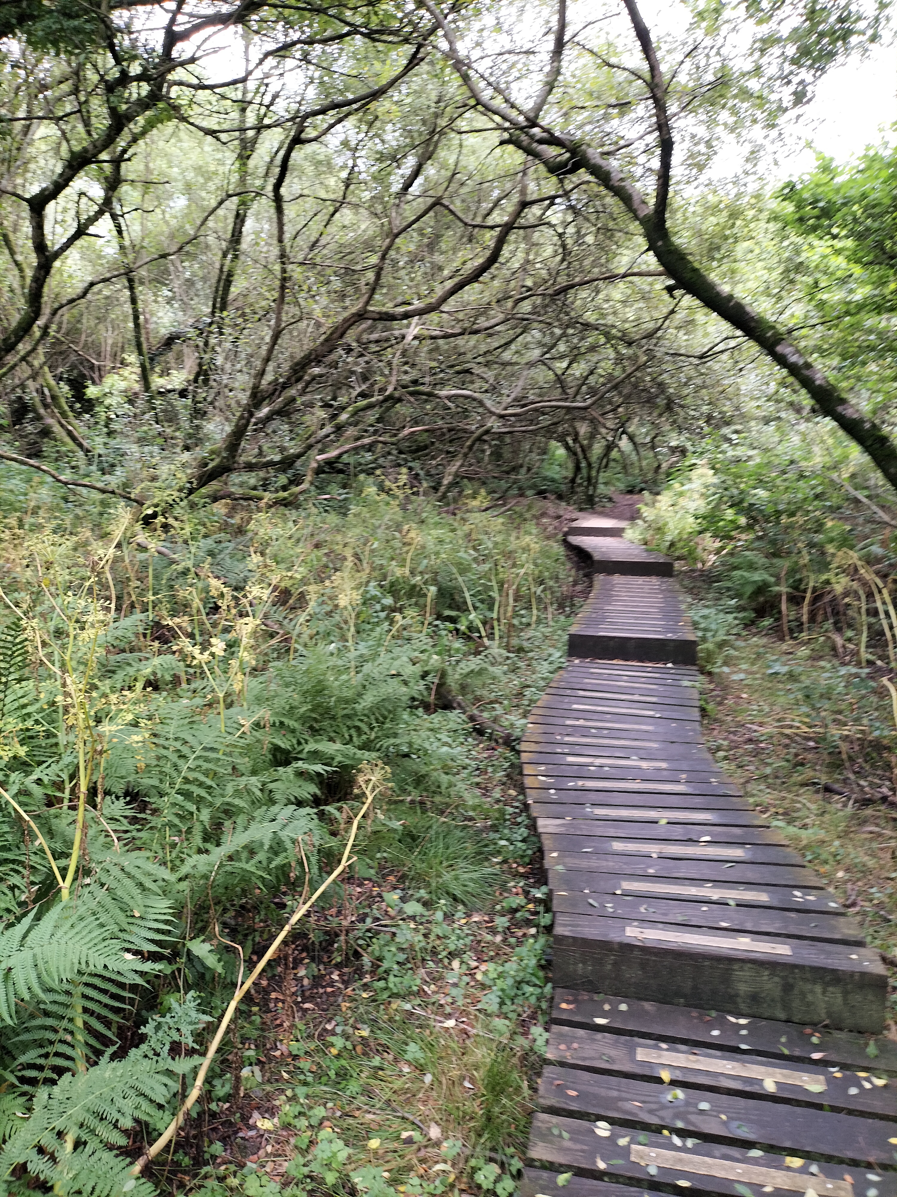
And onto a wooded area with a section of boardwalk.

There is the wonderfully evocative scent of wild garlic. Dusk is more intent on leading the way. Leaving the boardwalk, we enter fields, keeping to the path alongside the hedgerows and past the horses grazing in the next field. Through another gate, another field that slopes upwards. I am reminded here of the Rowan tree that I saw when I was here with a friend on our writing retreat in August last year. Then it was covered in berries – today it’s just in budding leaf.

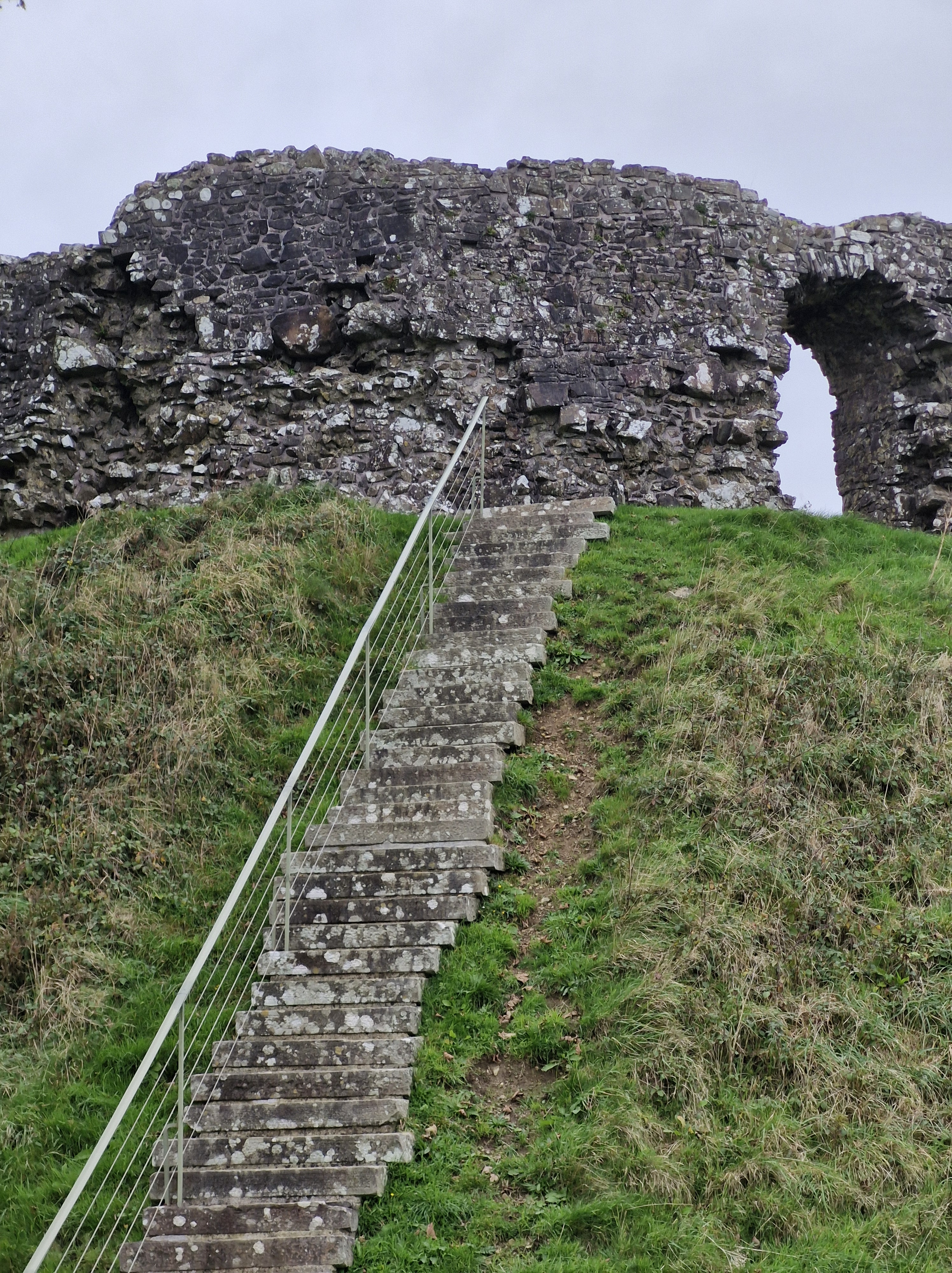
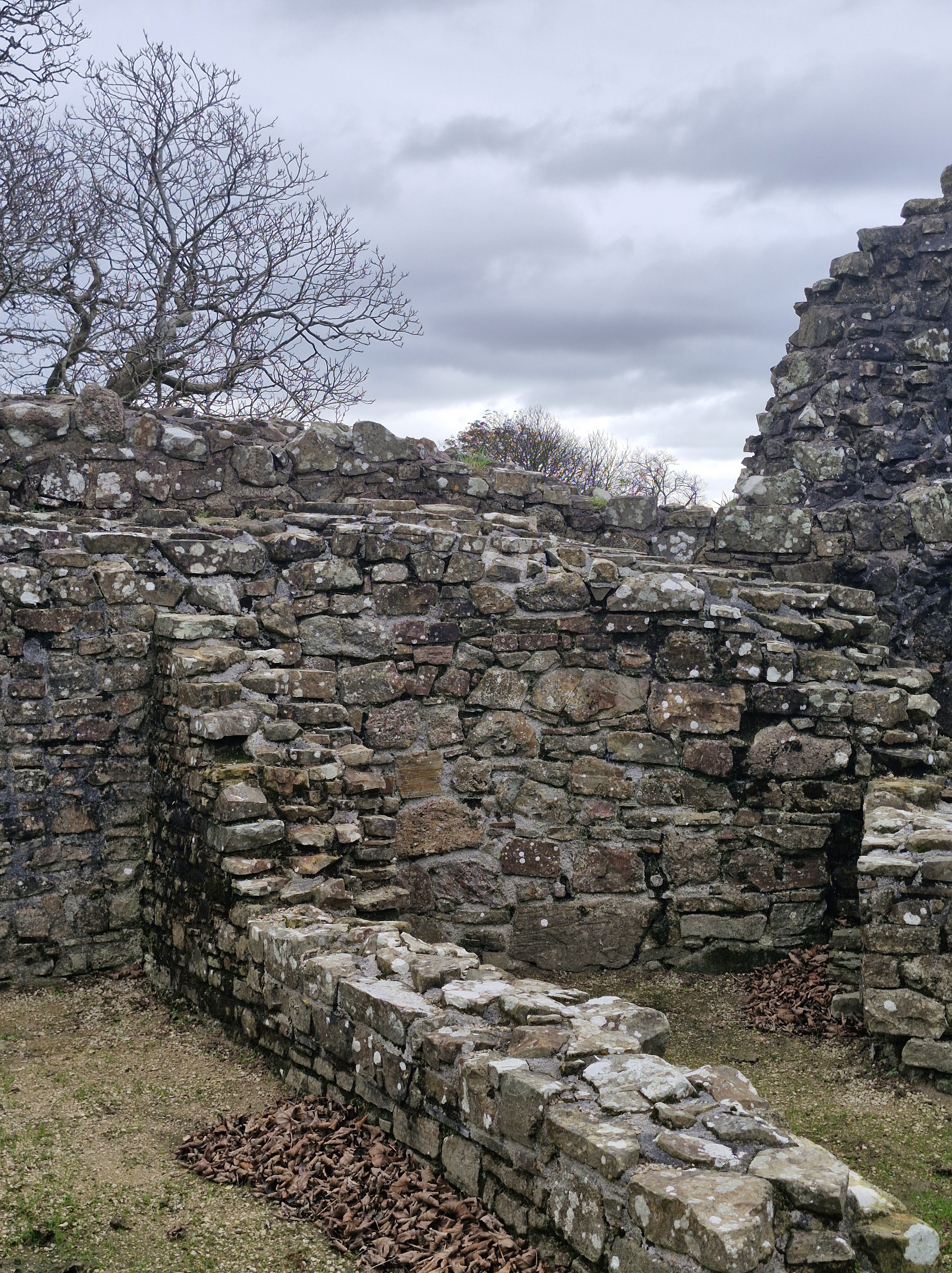
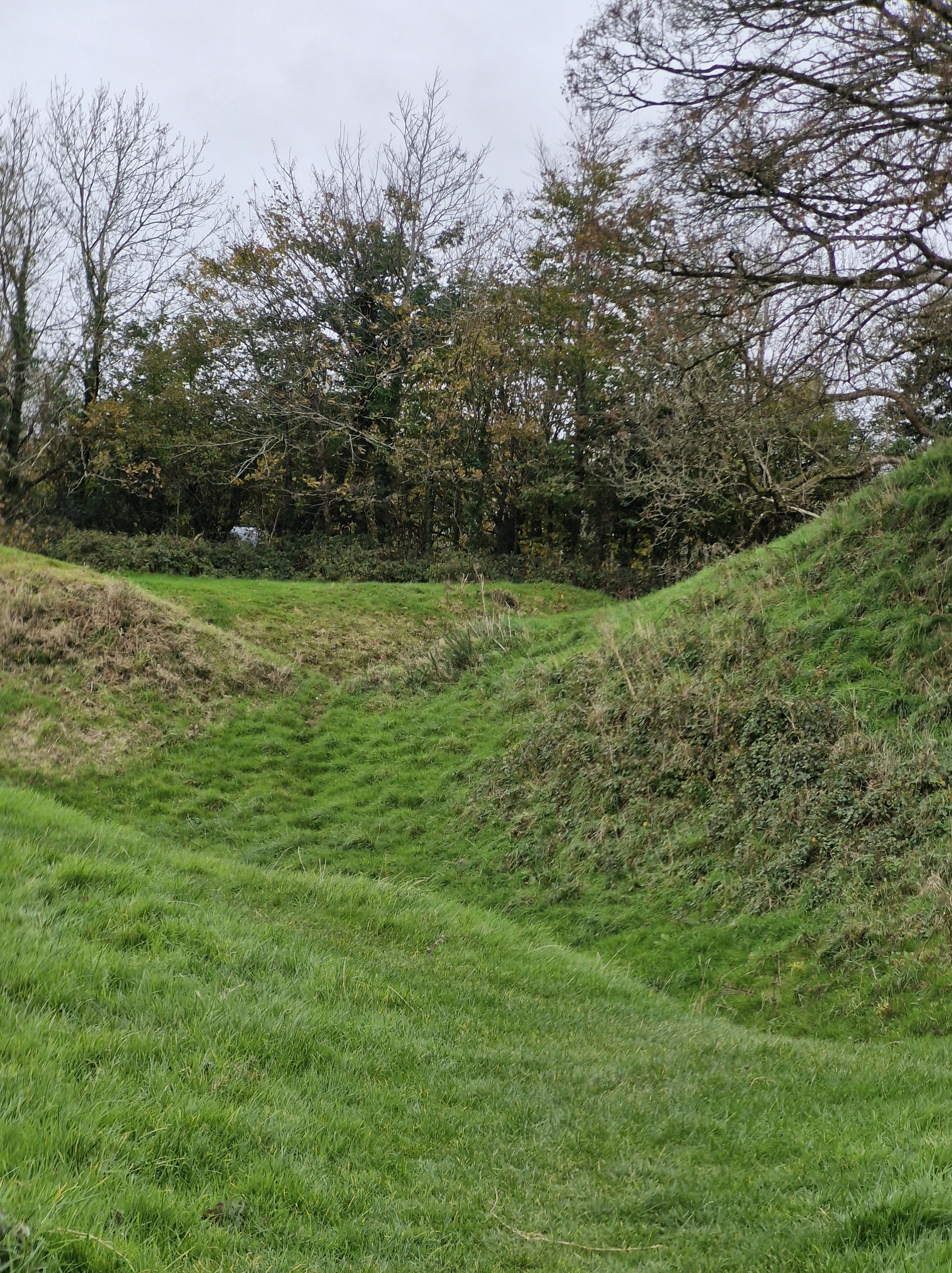
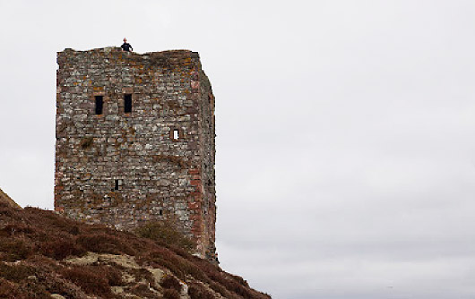
The Photographer with us once again, we climbed over some large stones to reach the site of the ruins of a Viking fort. Actually, there is very little to see .but apparently there is a Viking boat burial near King’s Cross. The above photograph is courtesy of Walking Arran: Iron Age forts, a Viking burial and Buddhist pilgrims. https://tinyurl.com/yc3fupz9. Unfortunately I deleted the Photographer’s photo – which then was lost in the ether… oops!!

A little snippet of information:

Around the ninth century Arran was part of Viking territories; the Kingdom of Mann and the Isles. Many local place names have Old Norse origins which includes Brodrick (where the ferry lands providing the weather is good and the boat is up to the crossing). Brodick is derived from ‘breda-vick’, meaning ‘broad bay’ and Sannox, from ‘Sandvik’ or ‘sandy bay’, in Old Norse.

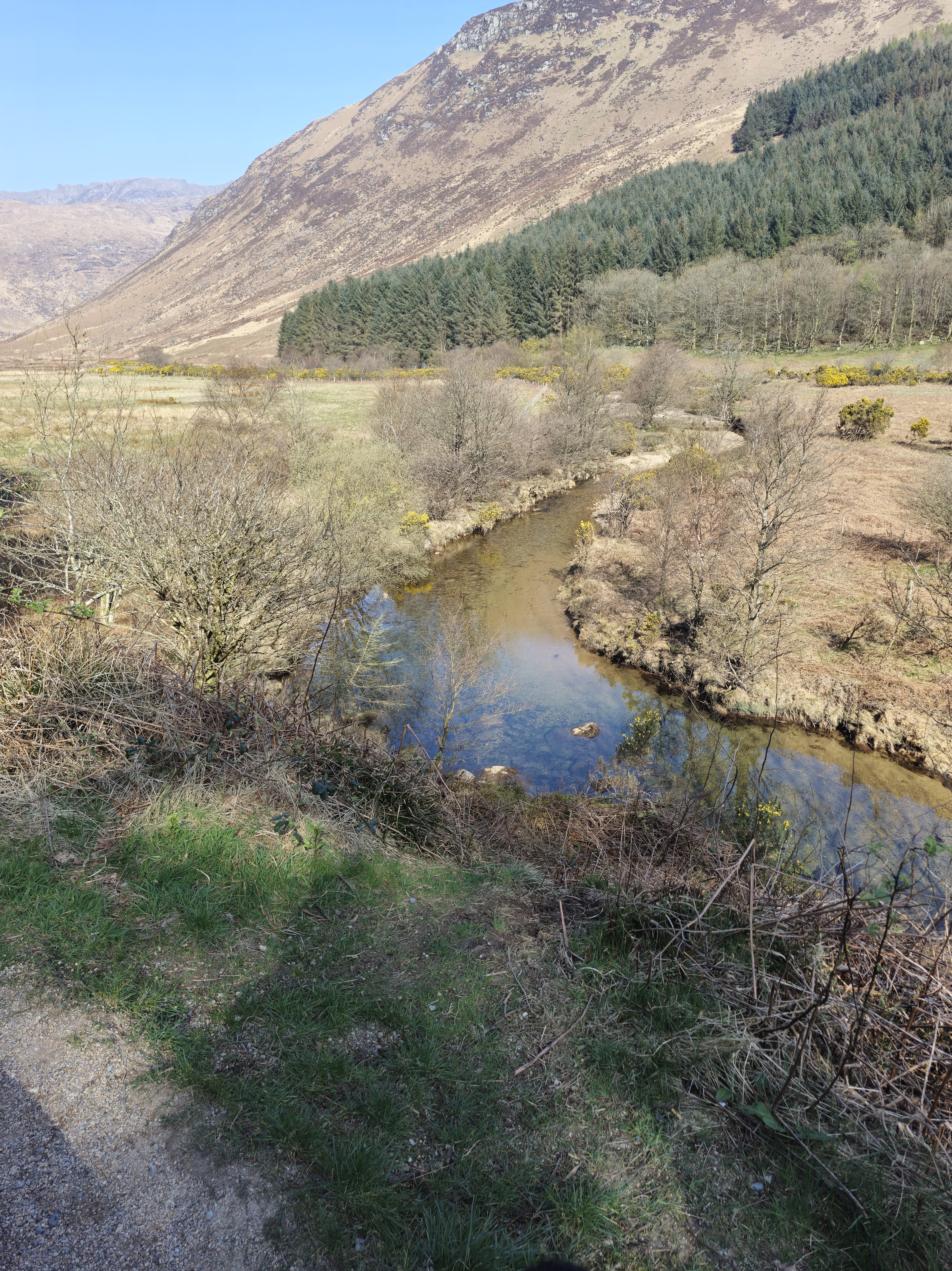
We stop for a few moments to take in the peace and quiet, and to look over again towards Holy Isle with the lighthouse and buildings that house those on a Buddhist retreat on the island.

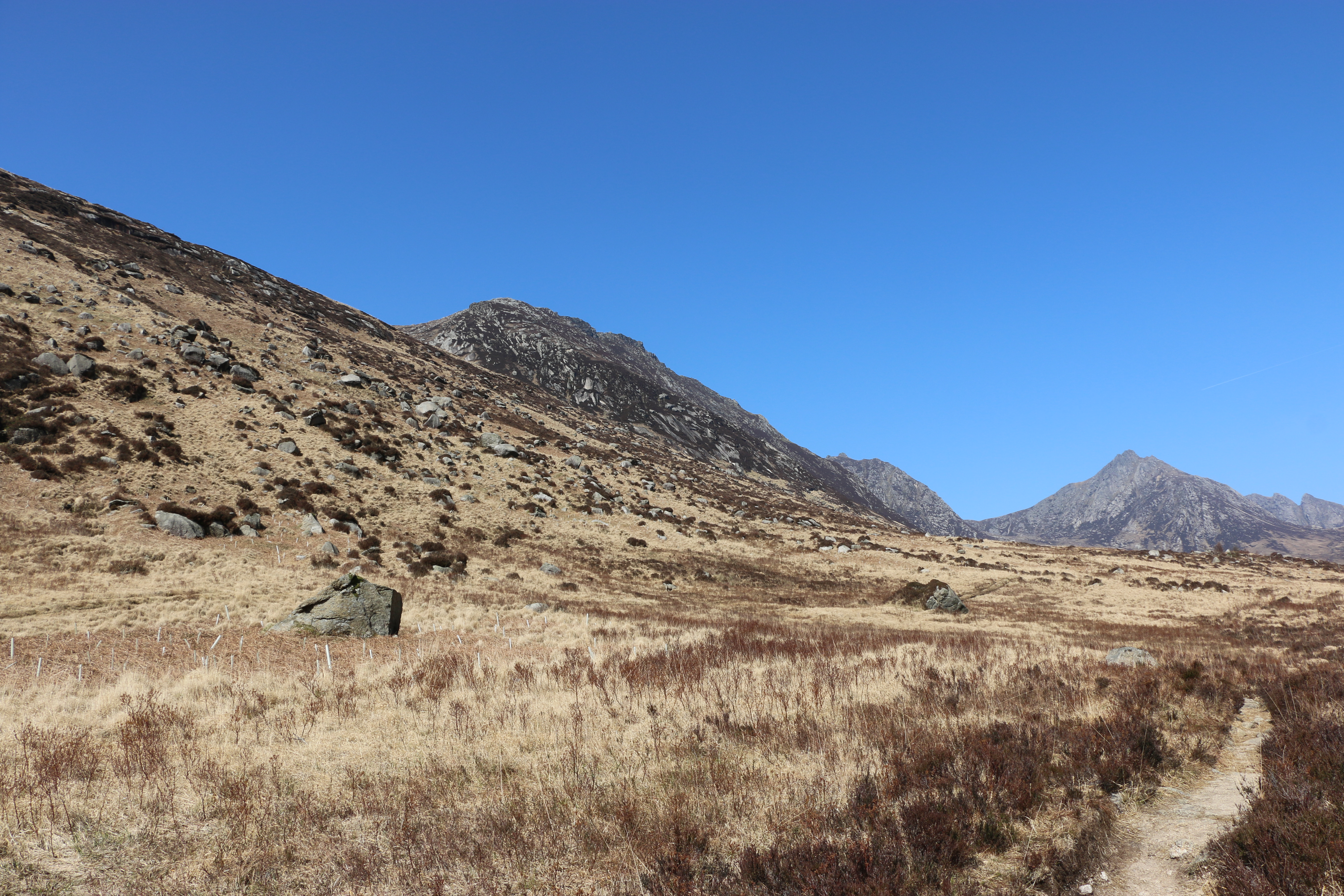
And linger to look across the sea towards the range of mountains in the distance. One of our walks later in the week will take us closer to them. But there’s no doubt we won’t be tackling Goat Fell, the highest one the island – intrepid pensioners though we are!!

Then we scramble down to the path alongside the beach on the other side of the cove. The beach here is more rocky, We turn inland and uphill on a path through fields, then onto a lane which eventually leads back to the church – and homeward.

Another satisfying walk in this lovely island of Arran.

The following day we, and Dusk, had a rest, much to the annoyance of Clary, our friend’s cat – because I was sitting in her place on the settee …

before our next adventure – a hike walk to Loch Garbad

The following gives the ( rather long) history of the Holy Island, which I find fascinating – is courtesy of the website Holy Isle: Centre for World Peace and Health: https://www.holyisle.org/the-island/history/

History

The earliest recorded name for Holy Isle was Inis Shroin, which is old Gaelic for ‘Island of the Water Spirit’.

After the time when the Celtic Christian saint St. Molaise lived on the island at the end of the 6th century, it became known as Eilean Molaise, which is Gaelic for ‘Molaise’s Island’. This name gradually evolved over the course of centuries until early in the 19th century the island became generally known as Holy Isle (or the Holy Isle) and the village on the other side of the bay became known as Lamlash.

Saint Molaise (566 – 640 A.D.)

St. Molaise was born in Ireland, the son of Cairell, the Irish king of what is now called Ulster, and the Scottish princess Gemma. Molaise was a very gifted and spiritually inclined child. He was much loved by his own people and was offered the throne of Ulster when he came of age, but instead he chose a religious and secluded life in a cave on the west coast of Holy Isle. He was then only 20 years old. Some people believe that when St. Molaise chose the cave on Holy Isle as his hermitage, the island was already considered a special, “holy” place.

When he was about 30 years old, Molaise went to Rome and was ordained as a priest by Pope Gregory the Great. When he returned, he entered the great monastery in Leighlin, Ireland which St. Gobban had established. Soon after he became its abbot. Under his guidance the monastery grew in fame and number to about 1500 monks. Molaise played an important part in adopting the controversial Roman method of dating Easter within Ireland. This was an important issue among the different Christian churches, who debated it for several centuries. When Molaise was in his late 50s, he went back to Rome and was consecrated first Bishop of Leighlin by Honorius I. Historians are divided on when Molaise died, estimating between 638 and 641. His feast day is celebrated both in Ireland and Scotland, on the 18th of April.

St. Molaise’s cave and the Healing Well

The cave where St. Molaise lived, is about half way along the western shore of Holy Isle, about ten meters above the high-water mark, and consists of an overhanging sandstone rock with a sunken stone floor. It is thought that in Molaise’s time much of the opening of the cave was closed up by a wall to keep the weather out. The cave can still be visited today. Carvings can be seen in the wall, such as simple crosses, perhaps made by pilgrims, and Norse runes, mainly of personal names. One of these says “Vigleikr the Marshall carved”. Some of the crosses seem to have been carved at around the same time as the names, so perhaps there was an element of pilgrimage to the cave among the Vikings. Lastly, there is an unusually designed cross carved into the roof of the cave.

Close to the cave is a spring, known as the Healing Well which is thought to cure ills and bring blessings.  In the 18th century it was recorded that “the natives used to drink and bath in [the well] for all lingering ailments”. The same source describes the water as “gushing out of a rock”. At the beginning of the 20th century apparently there was a cistern present built of masonry, with a stone spout which delivered the water. The spring is overgrown now so that you wouldn’t get more than a footbath from it but the water is still cold and clear, albeit it does not meet current EU standards for drinking water.

The Monastery: There are several indications of a monastery having existed on Holy Isle, most probably close to what is now the Centre at the north end. It may have been erected at the beginning of the 13th century, although other sources say it was in the 14th century. The monastery buildings could have been made of wood or a dry-built structure which left no traces. In the 16th century it has been recorded to have decayed.

The Vikings: In 1263 King Haakon of Norway brought a fleet of ships to the shelter of Lamlash Bay, before fighting the Scots at the Battle of Largs. Vigleikr, one of his marshals, went ashore at Holy Isle and cut runes with his name on the wall of St. Molaise’s cave. After the battle, King Haakon gave the island of Arran to one of his supporters, but this really didn’t count for much once the Norse had departed.

The Dukes of Hamilton

In 1488 Holy Isle and land in the Lamlash area was owned by one John Hunter, before being passed over to the Earl of Arran in 1527. The island continued to be part of the Arran Estate in Hamilton ownership even into the 20th century, being rented out to various people until that time. In the 18th century, Captain James Hamilton (not related to the dukes of Hamilton who owned Arran) obtained a long lease on Holy Isle from the Duke of Hamilton. In 1779 he built what became known as the Big House (the old farmhouse, now called the Harmony Wing).

Lighthouses

In 1877 the inner lighthouse (facing Arran) was built on Holy Isle, engineered by David and Thomas Stevenson. It is locally known as “Wee Donald”, though the current lighthouse keepers don’t know why anymore. The outer lighthouse, or Pillar Rock, was built in 1905 on the east shore. It had a fog horn and a revolving light that was lit by paraffin. Pillar Rock lighthouse was the first lighthouse built with a square tower and has several rooms inside for the men who worked there. Lighthouse cottages were built to house four families of the lighthouse keepers and a walled garden was made. The lighthouses became automated in 1977, and are now serviced every two weeks by local people living on Arran.

The “Rich American”

In 1957 the Duchess of Montrose died and the death duties were so high that the Arran Estate had to be divided. Part of the land was passed to the Forestry Commission and the National Trust, whilst other parts went into private hands. Holy Isle received a life tenant in 1958: Stewart Huston of Pennsylvania, USA. He was a millionaire who had a special interest in the island because he was descended from Gershom Stuart, who was Minister of Kilbride (at Lamlash) from 1747 – 1796. Despite his interest in the island and its history, he did not visit often, and the land continued to be used for grazing sheep by local shepherds from Arran.

The Universities Federation for Animal WTelfare

In 1968, the UFAW (Universities Federation for Animal Welfare) was asked to advise on the husbandry and management of the island’s animals, which at that time consisted of Blackface sheep and a herd of feral goats. They set up a Field Study Centre in 1969, and after Stewart Huston passed away, they were able to buy the island in 1971. in later years they introduced 25 Soay sheep and 5 Highland cattle, and a few years later 5 Eriskay ponies. When the UFAW could no longer afford to keep it, the island had to be sold again.

The Morris Family

In April 1984, after having been on the market for 20 months, the island was bought by James and Catherine Morris for £120,000. They moved into the farmhouse the following summer with their two young sons. They managed to connect electricity from the south end to the north, which made living in the farmhouse much more comfortable for them. In 1990 all the Highland cattle and seven ponies were taken off the island, leaving the Saanen goats, the Soay sheep and five Eriskay ponies.

In 1987 they decided to put the island up for sale for £1 million. The island remained unsold however, and in the autumn of 1990 Mrs Morris approached Lama Yeshe to offer the island to him, because she felt that its future would be best taken care of by “the Buddhists from Samye Ling”. Lama Yeshe first came to Holy Isle on the winter solstice of that year and became determined to buy the island. Finally the asking price was dropped to £350,000, which Lama Yeshe managed to raise by April 1992.

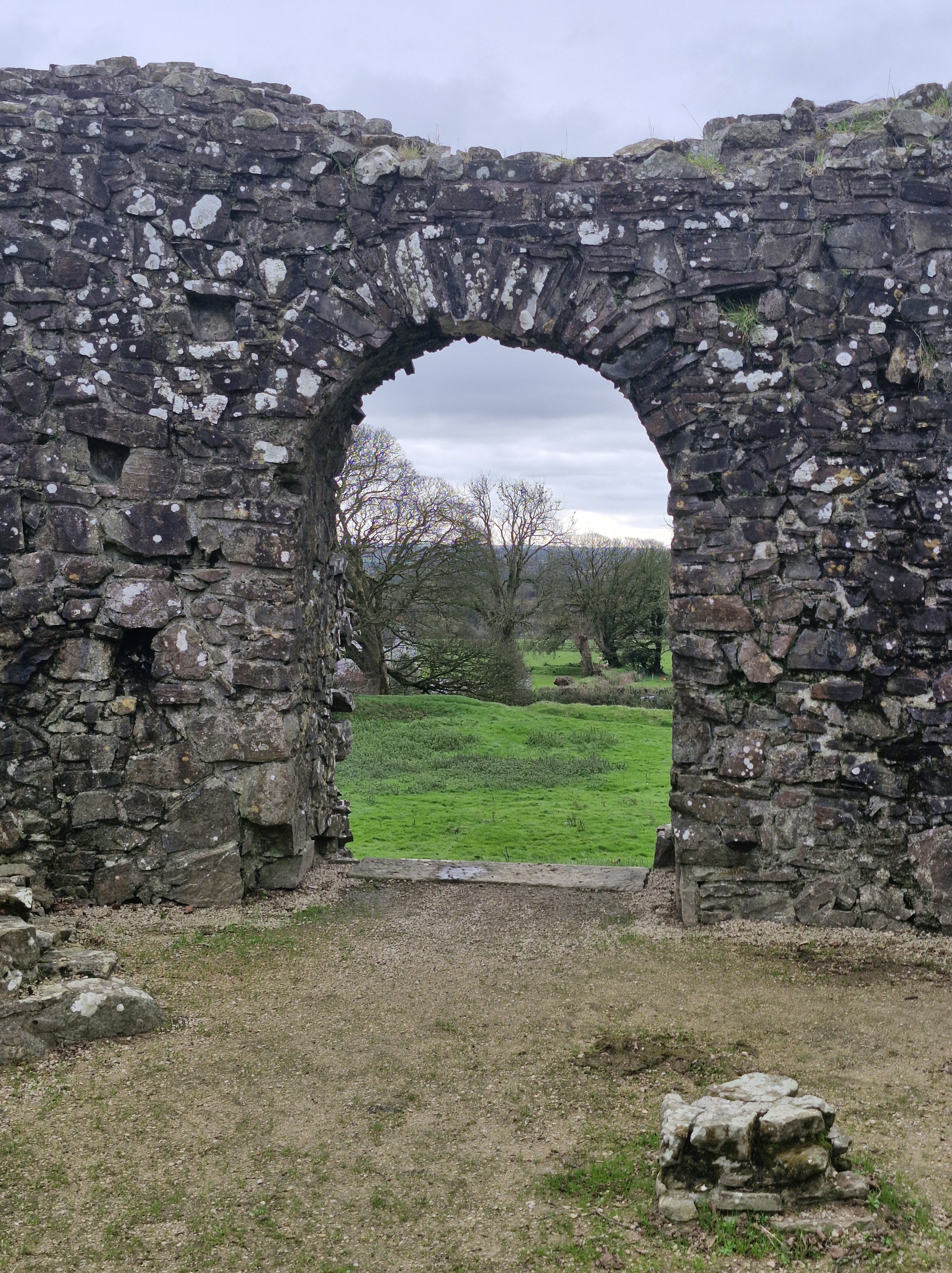
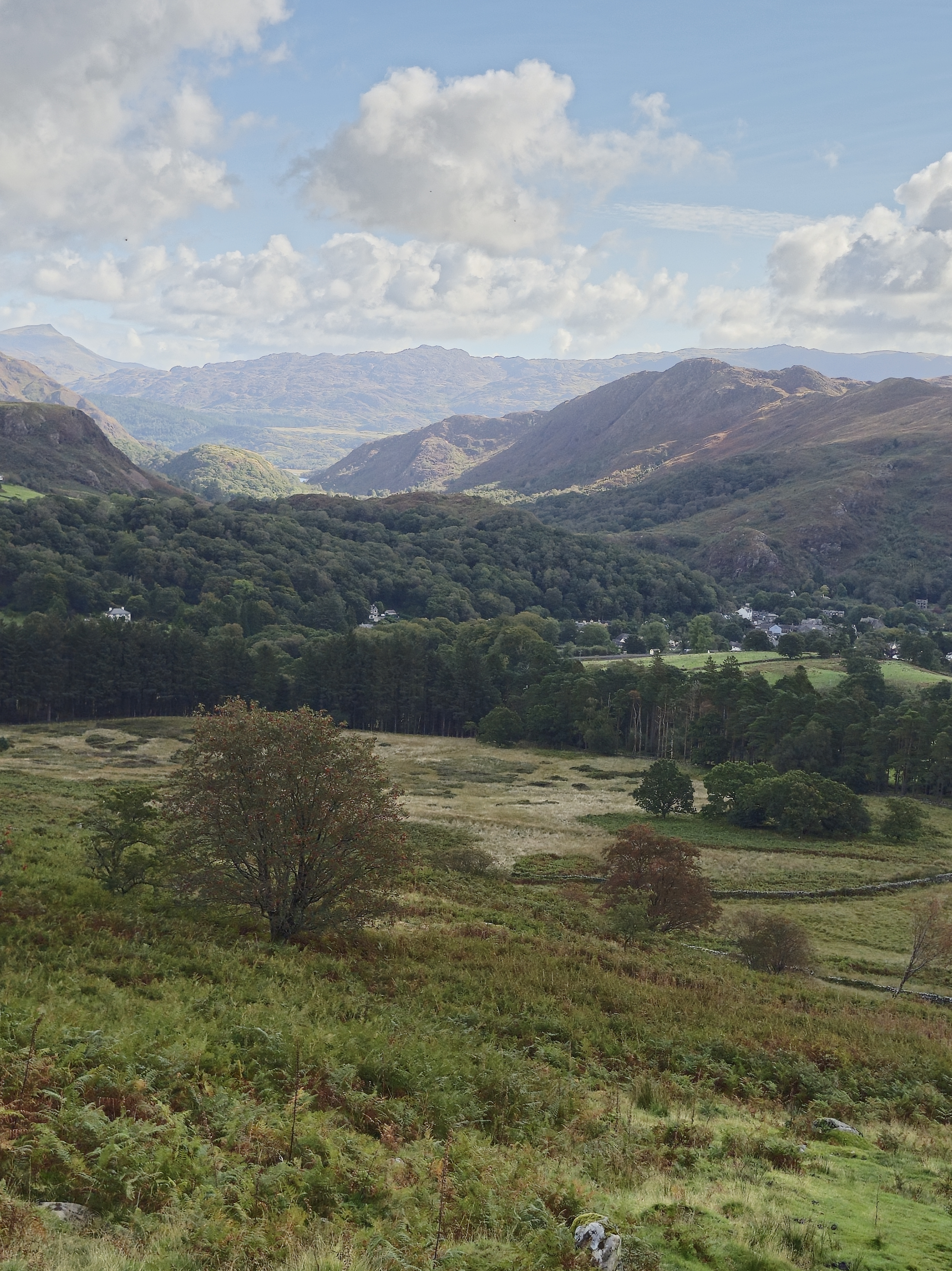
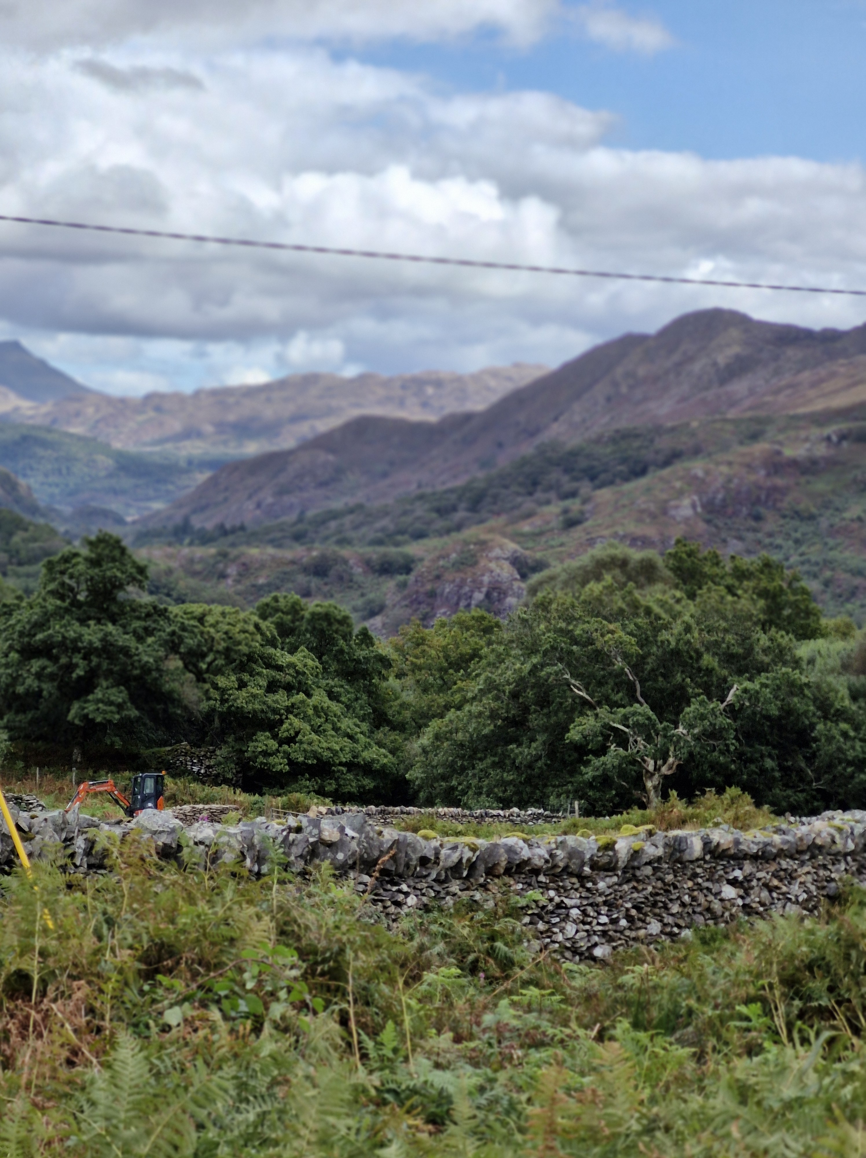
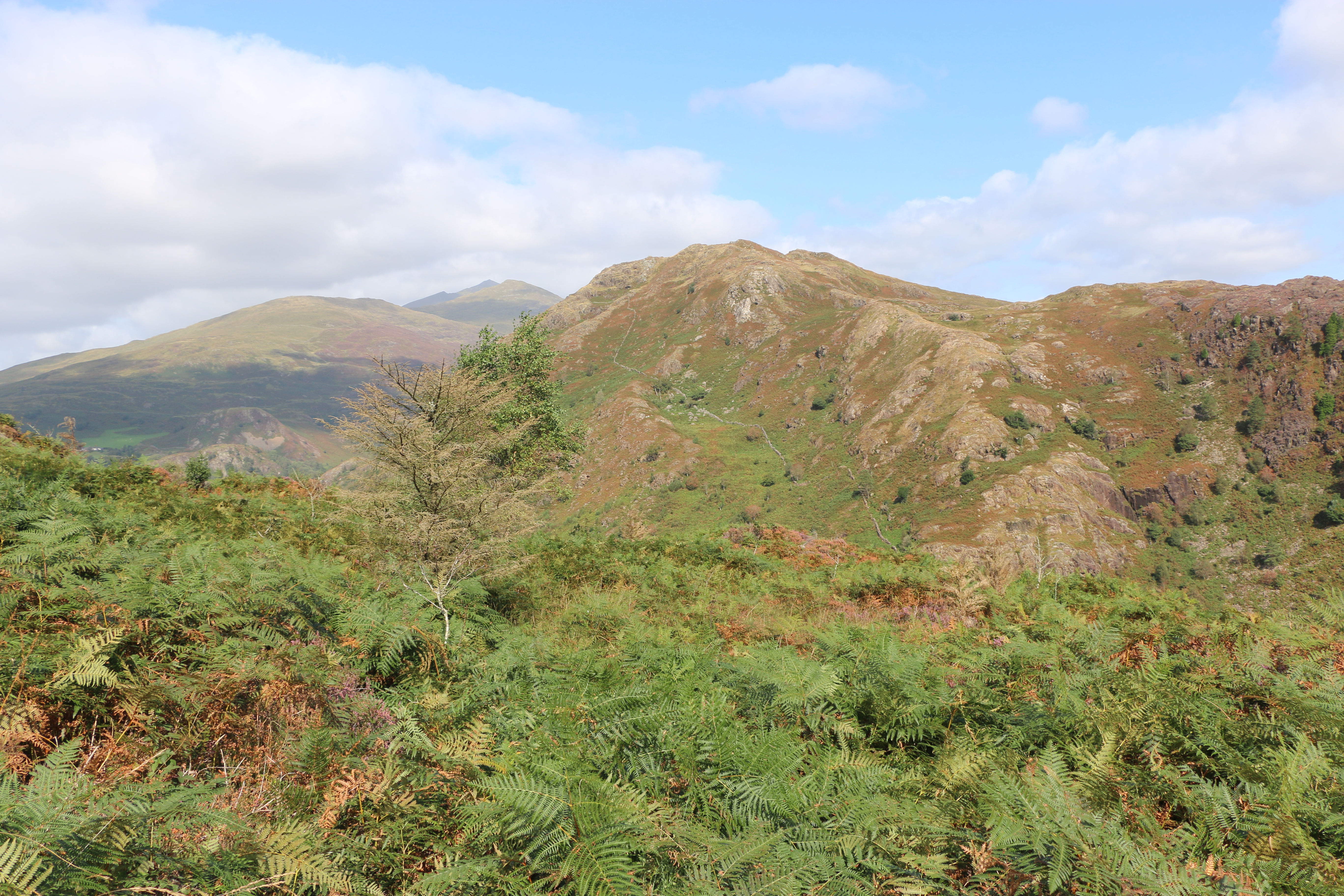
Where we Walked @CraflwynEstate @Beddgelert @Snowdonia @ Eryri @Wales #walks #photographs #mountains #viewpoints

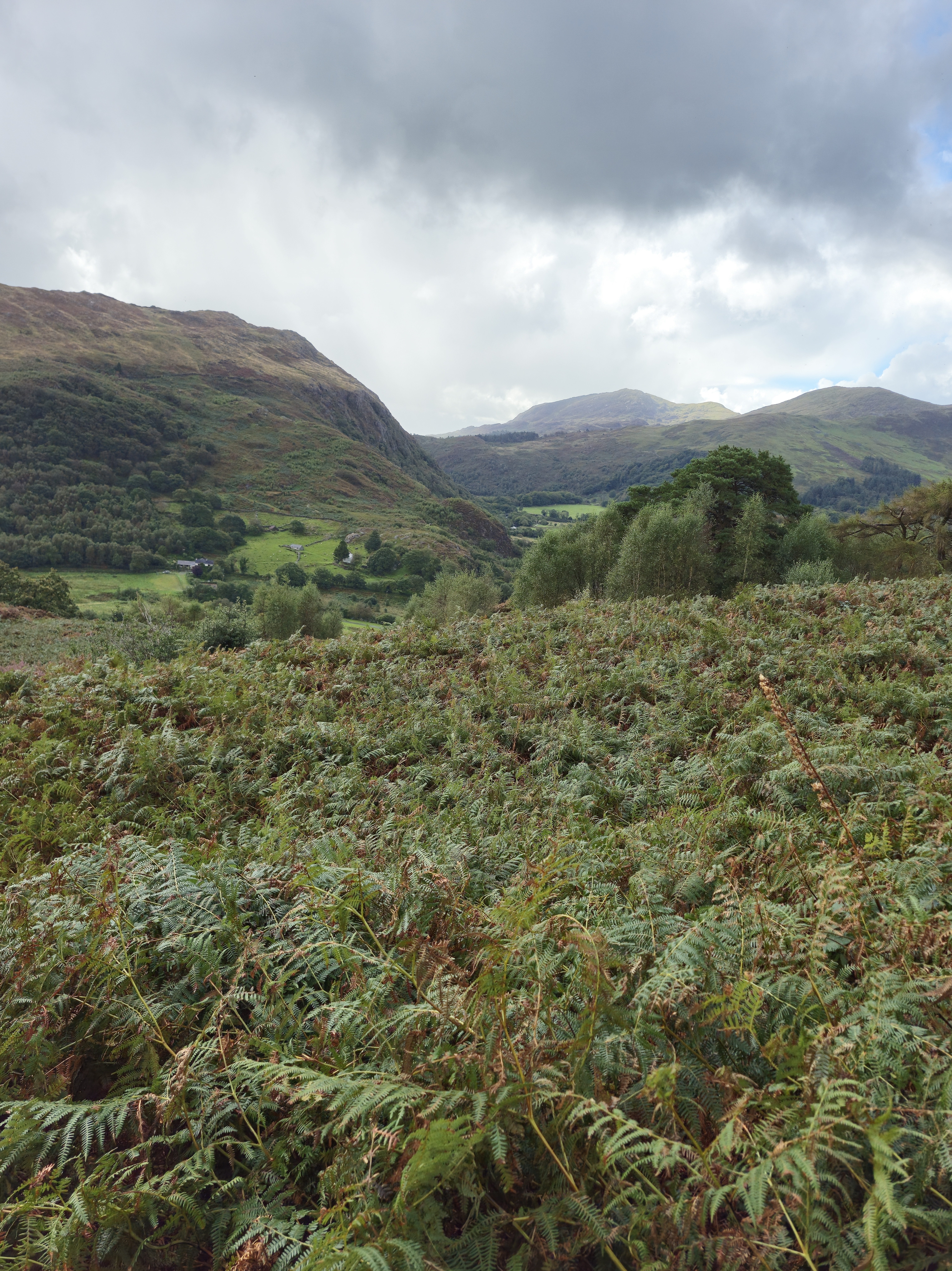
The two hundred acres of  Craflwyn estate is set in the heart of beautiful Eryri (Snowdonia), an area steeped in legend.

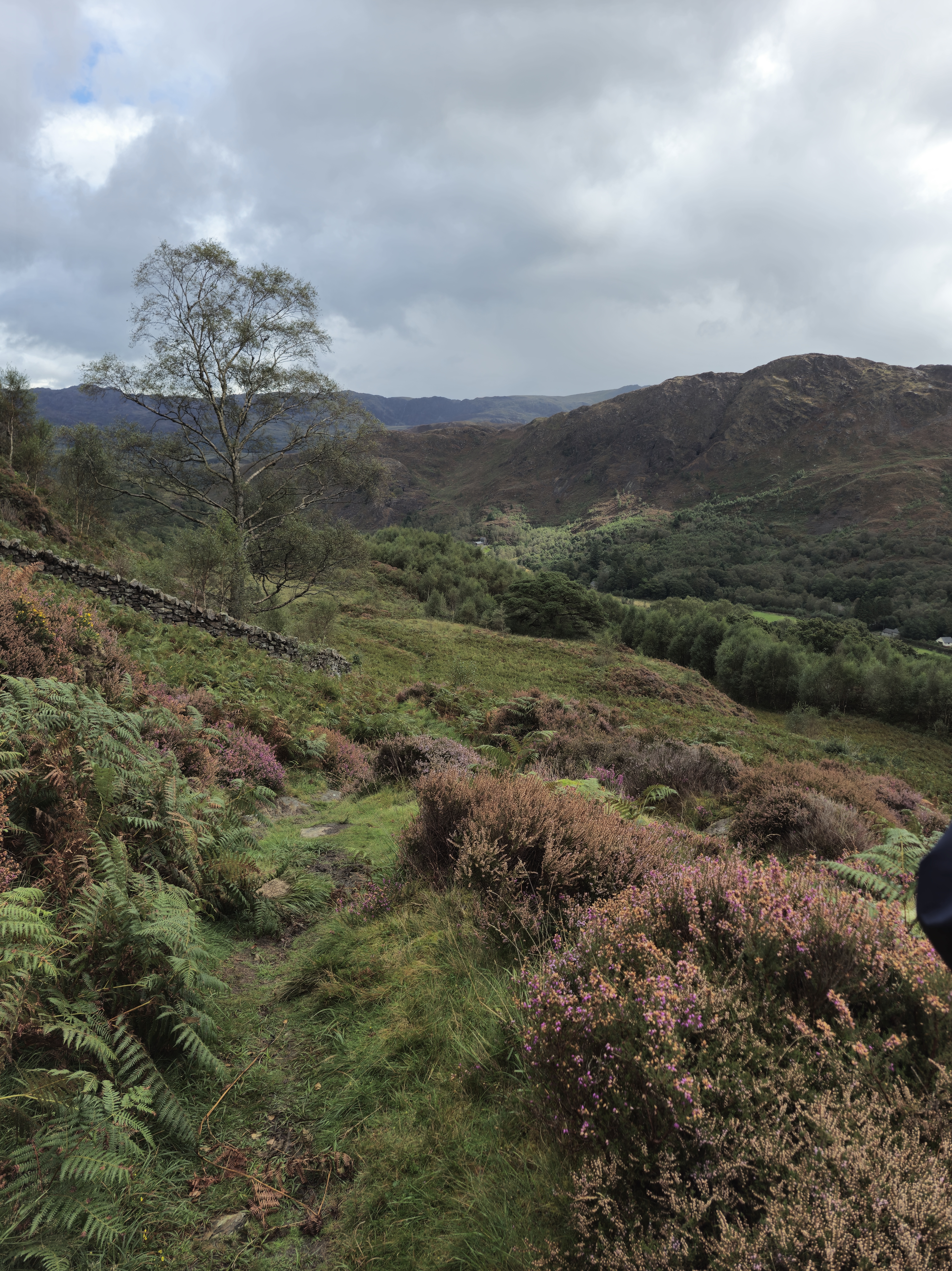
A walk of two halves today. We parked at the Crafwlyn Estate car park, just outside Beddgelert and, having read the information board, the Photographer and I decided to do the Green Walk. The sign promised an easy to moderately difficult ascent of only one and a half miles to the viewing point. It was the “spectacular views” that clinched it.

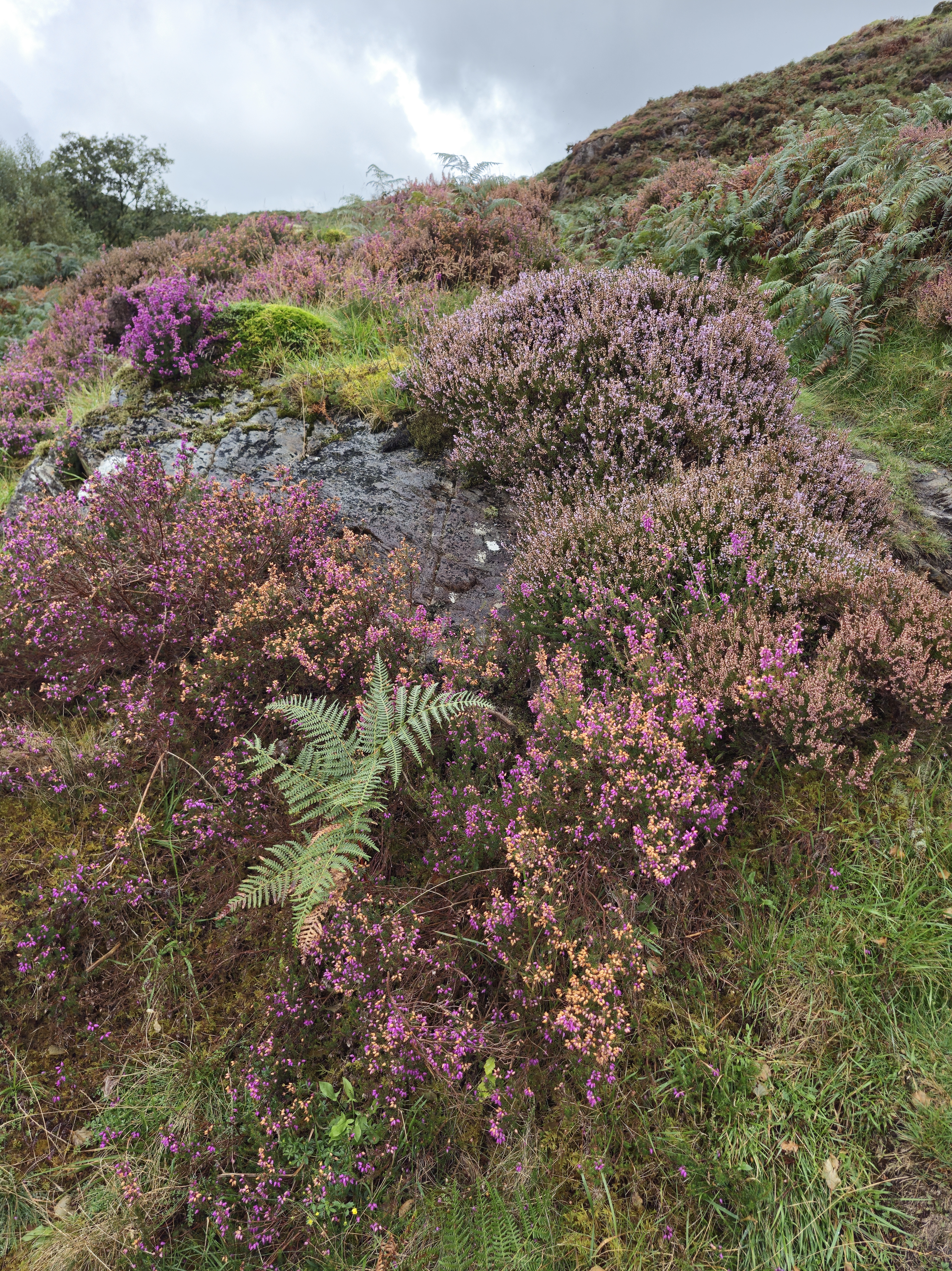
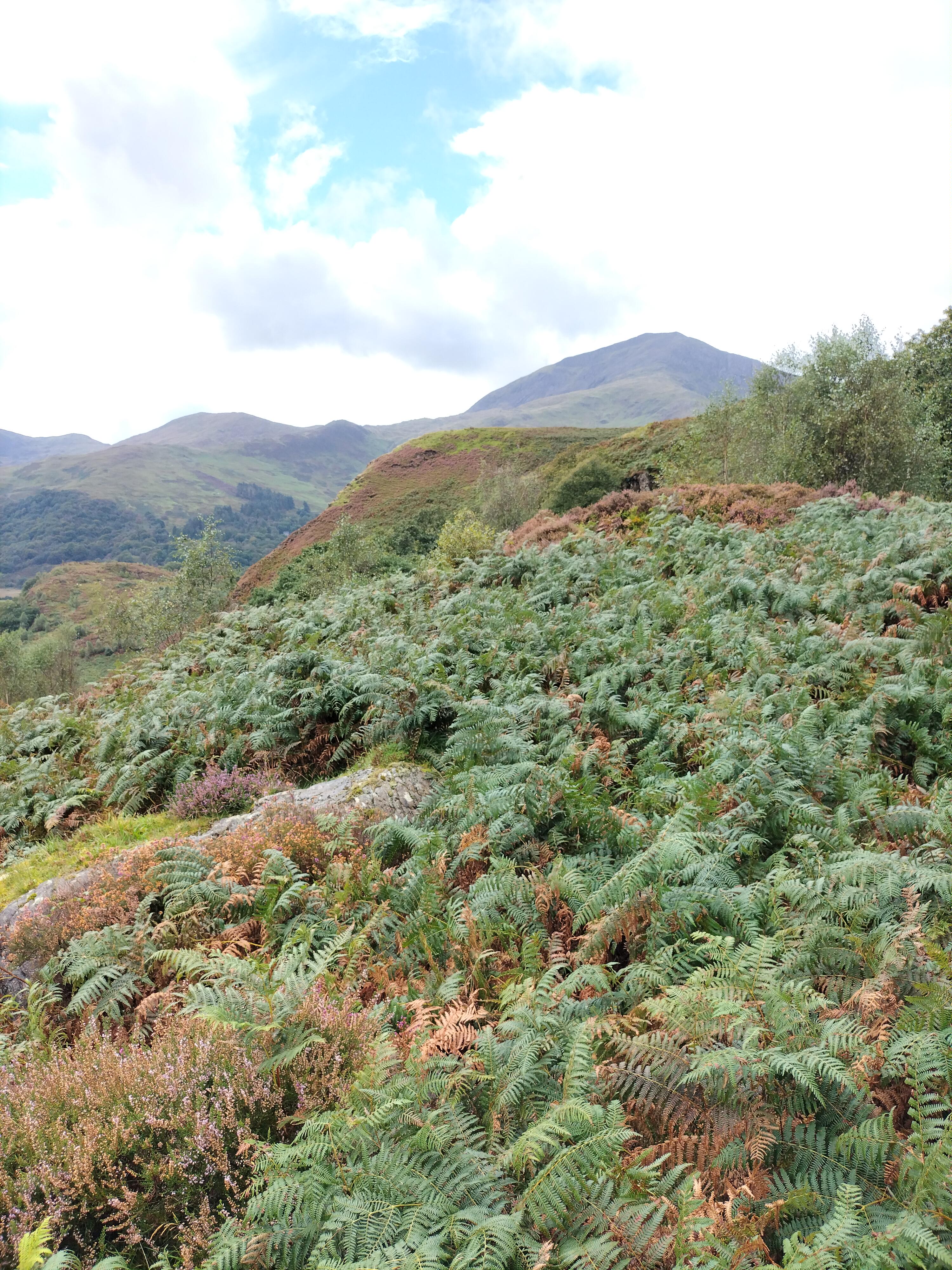
The heather was glorious. The path was … somewhere…

The walk turned out to be difficult, and certainly longer than one and a half miles. Quite the opposite in fact, and it and became steeper almost immediately, and very rocky. We assumed it would level out at some point but it never did and we just kept climbing and climbing.

Dinas Emrys is a rocky and wooded hillock near Beddgelert. Rising some seventy-six metres above the floor of the Glaslyn river valley, it overlooks the southern end of Llyn Dinas. The legend is that it’s where Merlin once trod and where a dragon still sleeps. At the top are the remains of a square tower and defensive ramparts belonging to the ancient princes of Gwynedd. We never saw that at any time over the week… ” the square stone tower at Dinas Emrys in Gwynedd, Wales is believed to be the base of a 12th century tower or citadel. The tower is now in ruins, but its rectangular shape and local rubble masonry are still visible.
According to legend, the tower was built by King Vortigern as part of a castle he wanted to construct on Dinas Emrys. However, the walls would mysteriously collapse each night, which led Vortigern to seek the help of Merlin the wizard. Merlin revealed that two dragons, one red and one white, were fighting in a pool beneath the castle. Vortigern and his men dug into the mountain to release the dragons, and the red dragon eventually won the battle. The castle was then named Dinas Emrys in honor of Merlin, and the red dragon became a symbol of the fight against the Saxons.

oplus_32

Just at the point where the ferns and tufts of coarse grass petered out, and the way in front of us rose sharply and consisted of sharp rocks, it began to rain and the view disappeared. We turned and scrambled back down – the second time we’d turned back on a walk that week.

One disgruntled Photographer…

Twenty minutes later and wet through, we saw a sign for the Waterfall trail. A footpath lead through the woodland, following a waymarker to the right.

We passed the dragon bench. Too wet to sit on it though.

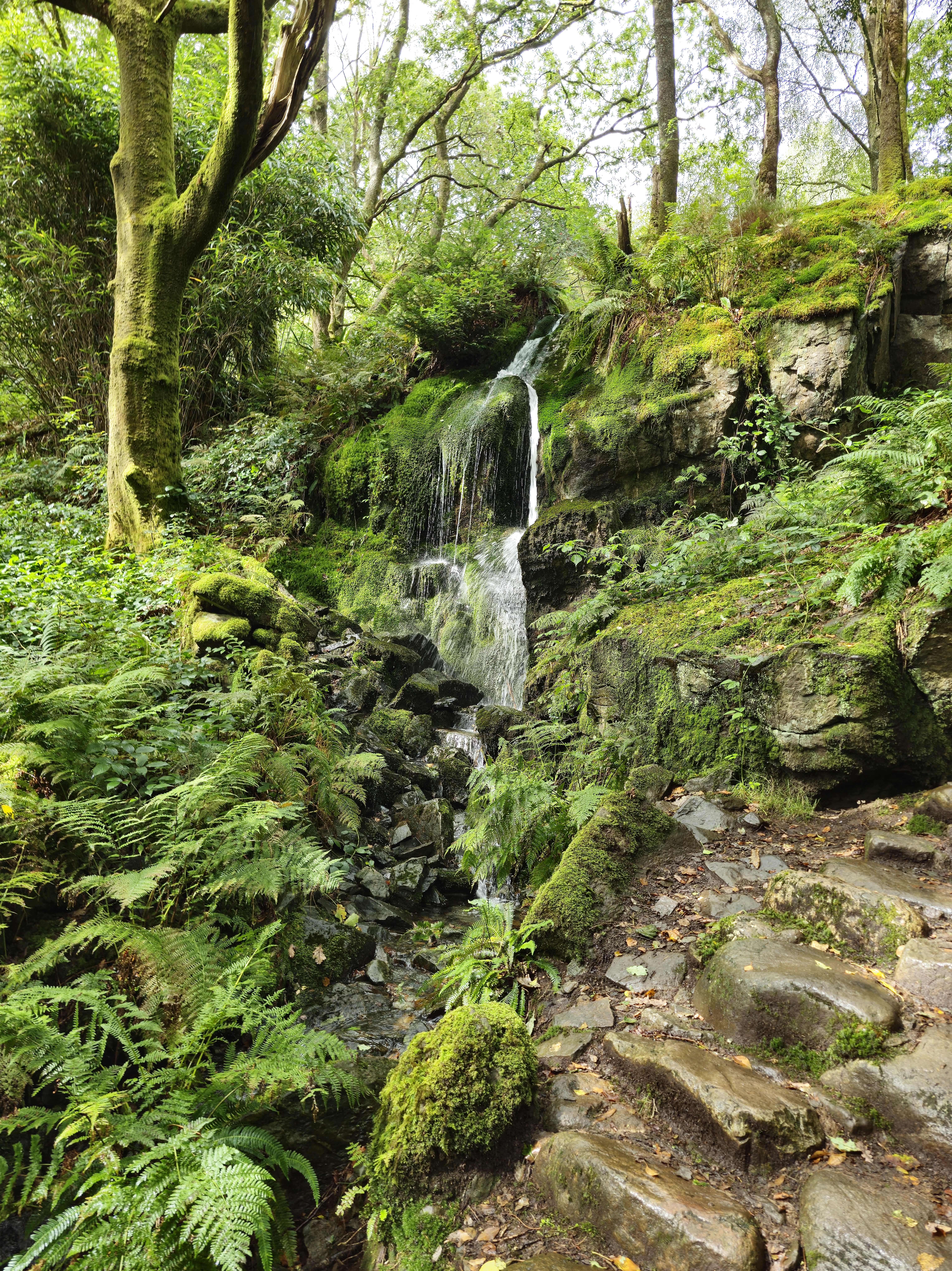
We walked up some steps to see a small waterfall. But we could hear loud splashing further along the path.


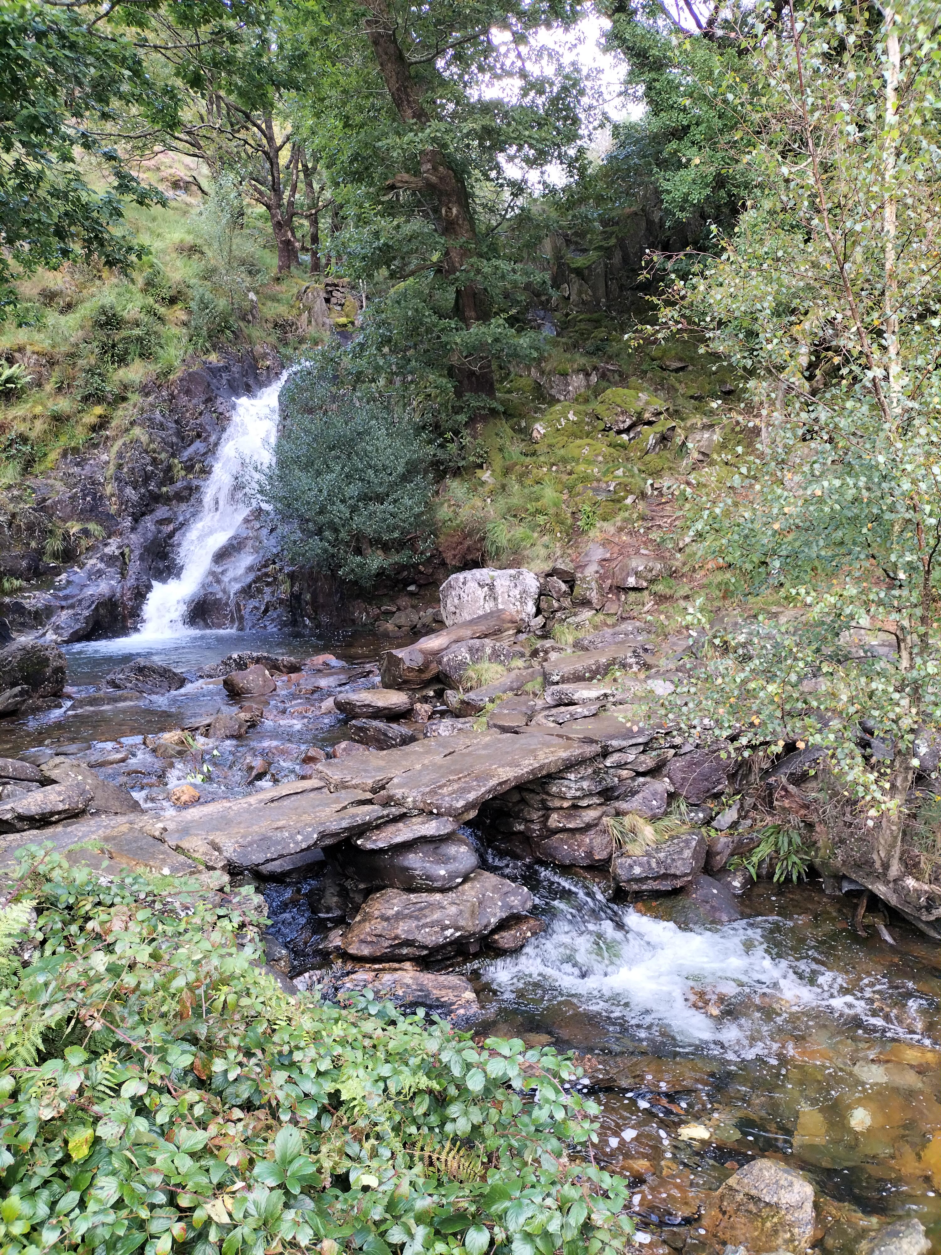
The large waterfall. Apparently deep enough to swim in.
I didn’t test that theory.

It was a wonderfully peaceful end to the day – and to our last walk of the holiday.

We’d had a great week. The photographer was keen to get home to start downloading, printing off and framimg his photographs.

I was ready to finish the proofreading of my next book, The Stranger in my House, to be published by Honno on the 14th November 2024 .

Described as…

A gripping ‘cuckoo in the nest’ domestic thriller

After the death of their mum, twins Chloe and Charlie are shocked when their dad introduces Lynne as their ‘new mummy’. Lynne, a district nurse, is trusted in the community, but the twins can see her kind smile doesn’t meet her eyes. In the months that follow they suffer the torment Lynne brings to their house as she stops at nothing in her need to be in control.

Betrayed, separated and alone, the twins struggle to build new lives as adults, but will they find happiness or repeat past mistakes? Will they discover Lynne’s secret plans for their father? Will they find each other in time?

The Stranger in My House is a gripping ‘cuckoo in the nest’ domestic thriller, exploring how coercive control can tear a family apart. Set in Yorkshire and Cardiff, from the 60s to the winter of discontent, The Stranger in My House dramatises both the cruelty and the love families hide behind closed doors.https://tinyurl.com/349ucdat

I’m happy to leave things as they are here. So, until next time … thank you for following the Photographer and I on our adventures.

Where We Walked @Moel Hebog @Beddgelert @North Wales #walks #photographs #holidays

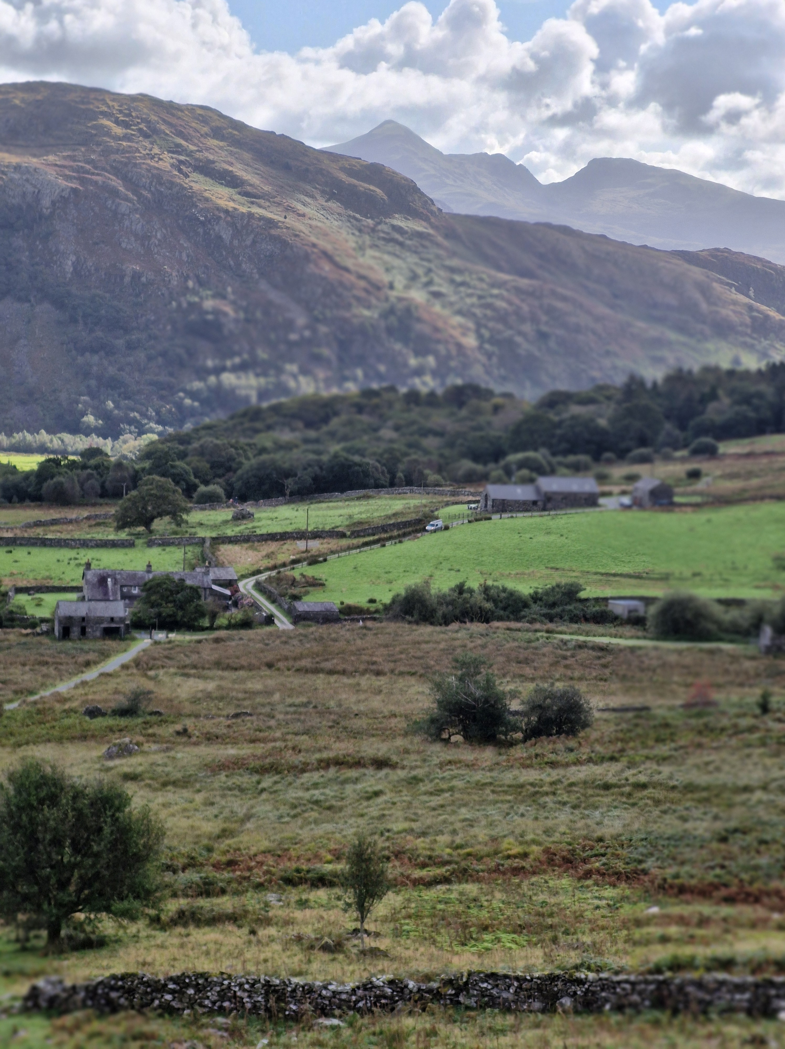
Moel Hebog (Welsh for Bare Hill of the Hawk) is a mountain in Snowdonia, which dominates the view west from the village of Beddgelert.

This was the next walk we did. I say ‘walk’ as a vague description. And I need to say at this point that we hadn’t read the following review beforehand.

“This is very much a steepish persistent trek from the beginning to the end. The path is very sketchy in places and you have to work out the best way forward. You go around the false peak and a bit further up you come to a near vertical wall bit. Be careful here as a number of false paths on where to go up. Take your time to work out the safe route which is on the left side of the paths. It’s only two-four steps scramble then you are back on a reasonably marked trekking path. This trek is not for beginners you really need the experience of being able to work out safe routes and a little scrambling experience. You also need a reasonable level of fitness as it’s very much a full on upwards & downwards trek, not any flattish areas. When I did it mid May 2024 the forest walk on the descent was impassable as flooded, very boggy so had to walk around the gravel tracks that added around 4 miles to the trek. Really enjoyed this trek, it is physically challenging as you gain height quickly, I would fully recommend trekking poles as they help. The downward grassier slope going down to the forest is steep so trekking poles really useful. Enjoy, take your time and stay safe.”

Oblivious to this review (but with our trusty walking poles, as usual), we walked past Beddgelert Railway Station, then along a lane crossing the railway line.

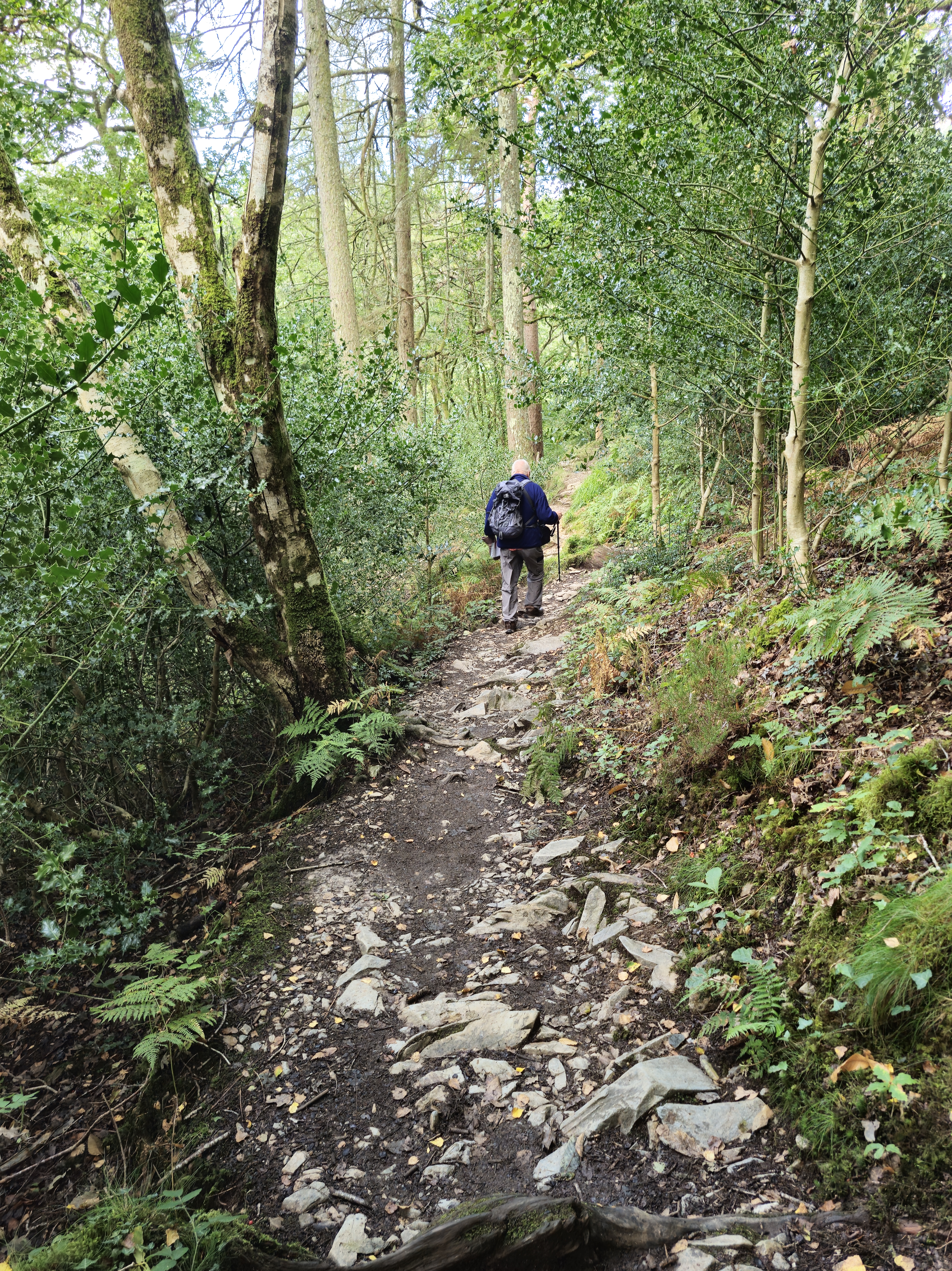
We passed a farm, said hello to the dog who came out to watch us, and walked through a small wood before the land opened up. There was a stone path across crossing a field, and then a post which indicated we needed to go straight ahead to a stile over the stone wall. (Yes, there had to be a stile!!)

At first the path was a meandering course on spiky grass with golden brown ferns set in a landscape of small outcrops and boulders. (Later in the day, having coffee in a small cafe, we met three young climbers who told us that these boulders were called erratics, glacial boulders or rocks that have been transported by ice and deposited. The type of rock – the lithology – the physical, chemical, and mineralogical properties – that the glacial boulder is made from is different to that of the bedrock where it’s been deposited.) We live and learn!

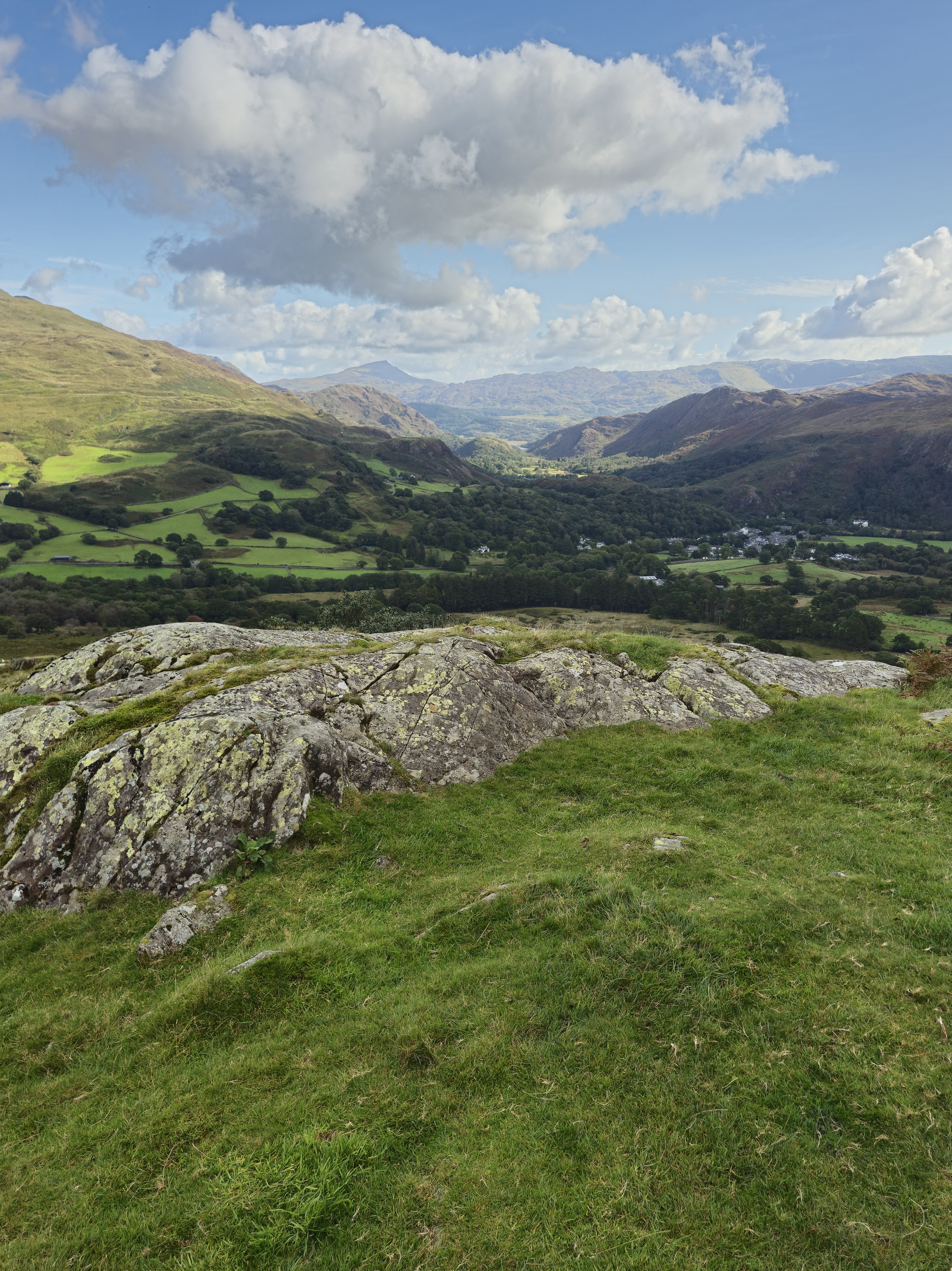
As we climbed,I took advantage of every photo stop, as usual. (my ‘catching my breath’ time). The landscape was glorious. And there, in the distance, was Llyn Dinas.

We stopped for lunch, debating at this point on whether we’d gone as far as we should (could!) Just then two couples passed, going back down. ” That’s us done,” said one of the men. “We know when we’re beaten. Off for a pint.” They were about twenty years younger than us. We looked at one another, made our decision; if going any further was too much for them, we had no chance. We packed up our things.

So there we are – sometimes ignorance is bliss. Or very foolish. But it was a lovely day, we took our time, had food and water – and knew when we’d got as far as we wanted to.

We took one last look at the dark peak of SnowdonIn in the far distance before we turned and made our way down towards the road.Got some fabulous shots though,” said the photographer, cheerfully. I agreed, relieved to be back on tarmac.

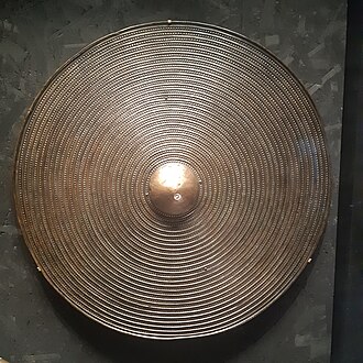
Later, looking back at the walk, I read the following.’The Moel Hebog shield (Welsh: Tarian Moel Hebog) or the Moel Siabod shield, is a large copper-alloy shield from Bronze Age, found in a bog on he north-west slopes of Moel Hebog. Discovered in 1784, it dates from 1300–1000 BC and is now in the British Museum in London.

Richard Blurton (a specialist in South Asian art and archaeology, formerly Assistant Keeper at the British Museum), wrote about the shield in his book The Enduring Image: Treasures from the British Museum (only £209, plus £9.75 postage). He says, “This shield is a splendid example, representative of the rise of large sheet-bronze work in later Bronze Age Europe. Much effort was directed towards the production of ceremonial metal armour indicating the prevalence of the idea of man as a warrior.

Just thought I’d share that!

Where We Walked #Nantmor to #Beddgelert via Bryn Ddu – the Fisherman’s Path -River Glaslyn #Wales #walks #climbs #photographs #no stiles #holidays. Part Three – the Last Leg of the Walk

The last part of our hike walk was along the Fisherman’s Walk,following the course of the Afon Glaslyn, a sixteen mile sea trout river whose source is a lake in a valley on the edge of Snowdon,and eventually runs into Tremadog Bay near Porthmadog.

We’d rewarded ourselves with a fabulously tasty but light meal in a bistro in Beddgelert and a wander around for an hour or so, before tackling the last part of the walk. After refilling our water bottles we strolled along a paved footpath along the riverside. This will be a doddle, I thought, watching the Photographer indulge in a few photos shots. A nice, calm, wide river.

Further on we crossed a footbridge beside the railway bridge and went through two kissing gates that crossed the railway line (still no sign of the elusive steam engine – to his disappointment and my relief at that point – after the day we’d had I didn’t fancy being run over by a steam train!).

But I wasn’t prepared for what was around the corner…

Glorious though the river was, it had rained quite a lot in the previous few weeks. Now Afon Glaslyn flowed swiftly over rocks and gulleys. And the path is made up of slabs, rocks and, sometimes an indiscernible way forward. I think the only thing I said in the next hour was … “Where’s the path gone?”

See what I mean?

This section was especially challenging – note the handholds hammered into the rock face so we could swing around the corner of the rock on the narrow path … er … stone slabs above the churning Afon Glaslyn.

One last scramble over rocks before we reached the relatively safer gravel path

And back onto the bridge that we’d stood on at the beginning of the day. And a chance for a last photograph.

And … a welcome sight … back to the cosy farm cottage in Nantmor, where we were staying for the week. Ready for an evening of quiet editing of my next book – The Stranger in my House

Nantmor is famous for being the filming location of the 1958 film, Inn of the Sixth Happiness starring Ingrid Bergman and Robert Donat. The film was based on the true story of Gladys Aylward,a British nurse who became a missionary in China in the unsettled years leading up to the Second World War. Nantmor doubled as China and people from the Chinese communities in Liverpool were brought in as extras for filming.

I found an interesting article on the history and repairs of the Popular Fisherman’s path in Beddgelert when ” After winter storms and high river levels washed away a 100m section of the Fisherman’s path, the Welsh Highland Railway swapped its cargo of tourists for stone, reverting to its original purpose for a day. Repaired, thanks to special delivery by Welsh Highland Railway.” Published: 20 February 2023: https://tinyurl.com/32md9b3f

Where We Walked #Nantmor to Beddgelert via Bryn Ddu #Wales #walks #climbs #photographs #nostiles #holidays – Part One

‘It’s the longest walk we’ll do,’ said the Photographer, ‘But it’s such a glorious day, and we’ll get some gorgeous views. Better take the walking poles as well.’

I know. I know… ‘walking poles’ should have been the clue!

It was a gentle, if somewhat a rocky start to the walk through the woods.

And then the Afon Glaslyn (Glaslyn River) came into view. ‘We come back to here along the river bank,’ the Photographer said.

‘Oh, lovely, said I!’ And meant it… then

We went through the kissing gate, over the road bridge, turned left on the road, until we saw a National Trust sign for Coed Aberglaslyn (Aberglaslyn Trees) and followed the footpath towards the stream.

So far so good. “Follow the waymarkers up through the woods”. But the waymarkers had long since disappeared. And here I need to say, the following was completely my fault. “Follow the path to the stream”, the directions read. So I did. But you would think, after all these years, the Photographer would know I have no sense of direction.

And here is the stream.

“Turn right,” the directions read. Across the stream? Which was flowing fast and deep. We read, and re-read the directions. We searched for a path.

For half an hour.

Suddenly we were joined by a couple. ‘We have the O.S.map on our mobiles,’ the man announced. ‘We know the way. You can follow us.’

So we did…

For almost an hour we followed them, clambering over boulders, up along boggy paths (sheep trails, they turned out to be), splashed through water, until we reached the top of the hill. To discover it wasn’t the top of the hill. Whereupon the woman turned to us and cheerfully said, ‘We’re not very good at orienteering. I think we’ve gone wrong.’

We went our separate ways. We slipped, negotiated the boulders, slithered through mud, back to the stream. And then back to the bridge. And there we found a waymarker – hanging off a post, pointing to the ground. We looked aroundand there, going up through the wood were long narrow indents in the ground… steps!! Of a sort.

It says in the directions there should be a stile at the top. Chance it?’ the Photographer asked. ‘Or would you rather give up?’

A stile!! But his words sounded suspiciously like a challenge. I’ve never been able to resist a challenge…

We tackled the way up the hill, winding through the trees. It turned out there were just over a hundred of the so-called steps, which necessitated hanging onto trees and hauling ourselves up branch by branch or hauling one another up in places. We had lots of stops for breath. And we needed those walking poles.

Until we were actually on Bryn Ddu. The halfway point to Beddgelert. Finally we were on the right track.

We stopped for a few photographs.

Before setting off again to search out the base of a tower, built on a prominent outcrop at a viewpoint overlooking Aberglaslyn Pass. The whole structure is built on a stone plinth which forms a narrow terrace around the tower. Thought to be a wartime lookout post.

From the lookout point we could see Beddgelert … in the distance. And the narrow trail winding its way down the hill. We stopped for much needed refreshments, and to catch our breath before tackling the next half of the walk.

To be continued…

Where We Walked #Llyn Crafnant and LlynGeirionydd #Wales #walks #climbs #photographs #stiles #humour #holidays #Sisters #books #readers @honno

Llyn Crafnant and LlynGeirionydd are separated by the forested slopes of Mynydd Deulyn (Mountain of the Two Lakes) and lie within wonderfully scenic valleys where the Gwydyr forest meets the lower slopes of the Carneddau mountains in Conwy.”The lakes are about a mile apart,” said the photographer casually. “The walk’s about five miles.” What actually happened was that we took the circular route which covers a distance of eight miles and involved some steep climbing.

But, at this point I have to say that wasn’t his fault. We ended up – or should I say – started off walking in the opposite way to the route in the book, having parked in the car park near LlynGeirionydd, instead of the one near Llyn Crafnant.

This was due to the fact that, at one point, the SatNav took us in the wrong direction. It’s always the SatNavs fault, you know; we once got stuck on a very narrow dirt farm track faced with a sign that joyfully said in large red writing, ” Use your eyes, the SatNav lies”. I think I might have said that before, it’s something I bear in mind when sitting by a certain irate driver having to turn back on a journey.

Anyway, I thought, it’ll be alright; we’ll just read the directions backwards.

I waited on the edge of the grass while the photographer took his first photo of Llyn Geirionydd.

Gwydir Forest is named after the Gwydir River, which takes its name from the ancient Gwydir Estate, established by the John Wynn family of Gwydir Castle, who owned this area (Gwydir is translated as River with Red Banks) The land here was once dominated by lead and zinc mines. Some of the mines have been partially restored and made safe for visitors, but we didn’t visit; our sights were set on getting to Llyn Crafnant Though we did pass an old restored engine-house, and also the waste tips, now left to be naturally covered over.

The First World War had highlighted a shortage in wood production and the forest was stripped bare at the time because many of the early forestry workers, former employees in the forest’s mines, had no experience of forestry. This caused the 1919 Forestry Act to be passed and Gwydir Forest was acquired from Lord Ancaster by the Forestry Commission in 1921.

Most of the original plantations have now been felled and replanted as part of the forestry cycle. We passed quite a few places where this was happening.

The majority of the forest is conifer such as Japanese larch, Norway spruce and Scots pine but apparently, over the last two decades there has been more Welsh Oak, ash and beech planted to give a more varied and softer outline to the forest

“When we get to the top of this track, there’s a little bit of a short climb and the track narrows a bit,” said the Photographer over his shoulder as I puffed and panted behind him. ” Don’t worry, it’ll be so worth it for the view.’

The track did narrow a bit indeed. As the directions said, ‘…into a steep narrow footpath, less than forty centimetres wide (that’s about sixteen inches in old money) in some places, on an unmade and uneven surface, where you can expect mud, rocks and tree roots.‘. The embarrassing thing is, just as I was wobbling leaping gazelle-like from rock to another a young couple (stressing young here!) ran past… with a dog … very quickly. And they even had the breath to wish us a cheerful “good morning.”

Every now and then we caught glimpses of the view. Went past a stile. Down a wider path. Through a gate. Saw the obligatory cow. And then…

The Photographer got his first proper shot of Llyn Crafnant on the northern edge of the Gwydir Forest.

And then lots more. It really is a glorious place

One last look and we walked away from Llyn Crafnant …

Following the arrows we crossed over the road into a small wooded area. And there the arrows stopped. We looked around: there was a stile in the far corner, but it was broken, covered in brambles and branches and looked unused. On the other side of the clearing there was a broad track. After some discussion we chose the track. (later realising we should have tackled the stile).

After an hour of walking up the never-ending road we stopped for breath, and for the Photographer to revell in the scenery and take many photos of the craggy slopes of Mynydd Deulyn.

And for me to have a rest. It wasn’t until we got back to the car that I realised I had somehow managed to take the attractive shot below whilst I was rummaging in my rucksack for the fourth, and last, bottle of water. Naming no names, but someone dared me to include this in the post – and I’m never one to pass on a dare. Which is probably the reason I find myself on these hikes walks.

Another hour of uphill, round a bend, and the road began to descend, until we were …

Back to the start…

I’m often asked what do I think about when I’m walking and with not enough breath to talk. I must say not having enough breath to talk isn’t something that often happens to me. But usually I’m taking in what’s all around us. We walk in so many diifferent kinds of places, so I just soak up the sights and the sounds whether in the country or in more urban areas.

But there are times when I’m thinking how to describe what I’m seeing, wondering if it will fit into a scene in the book I’m currently working on – or intend to work on. Sometimes it will, sometimes it won’t. It’s usually the latter, but that’s okay. And if I can keep it in mind for when we next stop for the Photographer to capture the scenary, I’ll make notes.

And there have been occasions when I can use those notes. One day we were nearing the end of our walk at Llyn y Fan Fach and Llyn y Fan Fawr near Llanddeusant in Carmarthenshire, Wales. It had been long, so the sun was low in the sky and it felt quite erie as we took a last look out over the water.

And I remembered that moment, that feeling of almost sinister atmosphere when I wrote one of the scenes in Sisters.

“‘Whoops! Watch your step, Miss Clumsy.’ Said in a jokey manner, it still manages to imply the familiar censure. ‘If it wasn’t for me always looking out for you, I don’t know what you’d do.’ He laughs. ‘Probably kill yourself, one of these days.’ He pulls her close, turns her so they are facing the lake, standing on the edge of the steep banking.
The sun is sinking lower in the sky, the black shadows of the trees lengthen, their reflection stretch and waver over the lake, the water rendered blood-red.

Book Description:

An accident and a terrible lie by sixteen-year-old Angie tears her family apart and her younger sister, Lisa, being sent away. They don’t speak for thirteen years, until their mother’s death brings them together. Lisa quickly realises her sister is trapped in a dangerous marriage.

What does Lisa owe to the family that betrayed her? And if she tries to help, will she make things more dangerous for them all?

A powerful story of domestic violence, courage and forgiveness.

Published by Honno Press (26 Jan. 2023)

Where We Walked #Pen Y Gaer #Snowdon #Yr Wyddfa #Wales #walks #climbs #photographs #MondayBlogs #stiles #humour #holidays

“A lovely evening walk,” said the photographer. “With spectacular views.”

It was that last sentence that should have warned me before we set off, I thought as I climbed over the stile and looked upwards.

He’s such a clever clogs: climbing the stile one- handed and taking a video. Hmph!!

A little information here: Pen y Gaer is a mountain summit in the Snowdonia – Beddgelert to Conwy region in the county of Conwy, Wales. It’s the location of a Bronze Age and Iron Age hillfort near the village of Llanbedr-y-Cennin. It’s a natural defensive site. There is a long history of occupation.

There are two Bronze Age cairns on the north-west slope, and extensive prehistoric and later field systems, nearby. The remains seen today are mostly of Iron Age origin, but further earthworks, probably of medieval origin, lie on the south-eastern slopes.

The summit can be identified by one of the large cairns.

Pen y Gaer is three hundred and eighty-five metres high with a prominence of thirty-six metres. (My legs and feet can confirm this!)

The photographer was right though, the views are spectacular.

There’s a broad bank of stones about two metres in width, with a partial kerb of large, irregularly placed boulders before getting to the summit; these are the remains of two defence walls, as well as the outlines of a chevaux-de-frise (A defence, usually a timber or an iron barrel covered with projecting spikes and often strung with barbs of glass).

There are two stone circles. Archaeological evidence indicates that in addition to being used as places of burial, the purpose of stone circles was probably connected to agricultural events, such as the summer solstice.

And, of course, sheep – which moved a lot quicker that we did.

The sun was setting, a mist was creeping in. We were (as far as I was concerned) on top of a mountain. At this point there was a discussion: we could carry on having an adventure and take a track (over a stile) to fields and marshland, and meander until we saw buildings, which could or could possibly not be the cottage we were staying in. Or we could take the windy, steep lane that would definitly lead to the cottage where we were staying.

Whilst someone couldn’t resist one last photo … I staggered sauntered past, with that glass of wine in mind, and carried on.

“A lovely evening walk,” said the photographer, gazing admiringly at photographs on the screen of his camera. “And brilliant scenary.”

I have to admit I agreed, as I soaked my feet in a bowl of cool water. Though next time, I decided, I would check out the mileage… and the ascent … of further ‘walks’.

Who am I kidding?!

Where We Walked: Llanwrst – Melin Y Coed – a Five Mile Circular Walk #Walks #Photographs #history #alittlehumour #MondayBlogs @Llanwrst @North Wales

Our first walk: an easy five mile circular walk. We thought…

We followed a footpath alongside a stream and through a field covered in glorious wildflowers, including one that we later discovered was called the Deptford pink which is nationally rare. I took a photo of the flower: it had a long and deep pink petals with pale spots and ragged edges. Unfortunately, later (not having the expertise of the photgrapher), I saw that I’d had my mobile phone turned the wrong way round and had an image of a red, sweaty face … mine (well it was a hot day).

So here is a photo of the Deptford pink courtesy of The Species Recovery Trust. Apparently the plant has been used in traditional medicine for various purposes, such as treating digestive ailments and as a diuretic.

This area is called Coed y Felin and includeds an ancient oak/ash woodland planted with sycamore, beech and sweet chestnut.

Pathways criss-cross this ancient woodland site, leaving clues to its long-held links with the local population. Its timber has been used to support local mining villages for centuries. But Llanrwst has also long been known as a market town with a history of a whole range of industries over the centuries, one of which is a thriving woollen industry. Apparently it’s historically recorded that in the Middle Ages the price for wool at Llanrwst market set the price for wool throughout England and Wales in that period.The photographs below are the ruins of a woollen mill, Felin Uchaf.

The directions told us to zig zag up a steep lane.

And then continue for about one and a half mile along a lane. Or rather, up a very steep lane!

And this is where the five mile circular walk became … a little longer. The signs disappeared. And there were four turn-offs to choose from. So, three times, we wandered up this lane, (which I swear was at least half a mile long from bottom to top) and then down and then up again.

Until I stopped for breath and the photographer declared joyfully, ‘There’s a lovely view from up here.’

After that I believe the person who wrote the directions became bored, jotted down a few notes about going through fields, and went home. And we more or less followed our noses. Or, should I say, because anyone who knows me knows I have no sense of direction whatsoever, I followed the photographer (who, true to form, was really only looking for “great shots”)

We meandered through fields along vague paths, which I was sure were sheep trails … see the evidence below?

And note … a stile! After last year’s walks in the Yorkshire Dales here and here, the photographer promised no stiles this time. And yet, on the very first walk – a stile.

It was quite a quiet walk back to the start after that…

PS: The following is an interesting article about Y Pont Fawr – the bridge in Llanrwst that, on our way to the cottage we were staying at, we tried to cross three times before being successful. Because of the high crown of the bridge it’s impossible to see if there’s another vehicle coming the opposite way … until it’s almost too late.

As this piece says further down: “The bridge is too narrow for vehicles to pass on it, and its hump limits forward visibility. This explains the local nickname Pont y Rhegi – “bridge of swearing”.” I’m not saying who added to this nickname, but the photographer refused my request to stop to take a photograph of the bridge.

Pont Fawr, Llanrwst

A ford crossed the river Conwy in this vicinity long before it was bridged. The original bridge was declared unsafe in 1626 and preparations began for its replacement, funded by the people of Caernarfonshire (west of the river) and Denbighshire (east of the river). In 1634 four Lancashire stonemasons were contracted to build the new bridge. The year 1636 and the royal coat of arms are shown on a plaque on the upstream side of the bridge, which is known as Pont Fawr (“large bridge”).llanrwst_pont_fawr_watercolour

The workmen who built the bridge inserted the keystones for the central arch upside down. This was not discovered until the opening day, when the arch collapsed! The central arch rises to c.18 metres above the water.

The renowned architect Inigo Jones was professionally associated with the wealthy Wynn family of Llanrwst, and legend has it that he designed Pont Fawr. The pictures of the bridge and Inigo Jones (courtesy of The National Library Wales) were used to illustrate Thomas Pennant’s books about his travels in Wales in the 1770s.

llanrwst_inigo_jones

Pennant wrote that two of the arches were extremely beautiful, marking “the hand of the architect”, but the third was inferior, having been rebuilt in 1703. Inigo had changed Ynyr, his real Christian name, to Inigo or Ignatius when he went to Italy, according to Pennant.

The bridge features full-height cutwaters (stonework shaped like a ship’s bow). The river is the outlet for rainwater and meltwater from across a large area of Snowdonia including Dyffryn Mymbyr (around Capel Curig), one of the wettest places in Britain. Since the western arch collapsed in 1702 and was rebuilt, the bridge has stood the test of countless floods and the advent of motorised lorries and buses.

The bridge is too narrow for vehicles to pass on it, and its hump limits forward visibility. This explains the local nickname Pont y Rhegi – “bridge of swearing”.

llanrwst_pont_fawr_drawing

William Peers may have uttered an expletive on a dark night in 1907 when the traction engine he was driving crashed through the wall at the Llanrwst end of the bridge. After crossing the river, he had misjudged the position of the main road. The stoker and two navvies (engaged in building Dolgarrog aluminium works) jumped clear. Mr Peers fell about three metres onto the riverbank. The engine was said to have made a complete rotation in mid air before hitting the riverbed about six metres below the road.

Courtesy of:

Where We Walked @Catrigg Force @YorkshireDales @England #walks #photographs #memories

This was a walk we did twice when we were in the Yorkshire Dales. The second time we were here was by accident. We got lost – surprise, surprise – and came over a hill to find us again at …

Catrigg Force … a small but impressive waterfall just east of the village of Stainforth. The first time we found it we’d actually planned to call to see it as the first part of a longer walk (more to come on that another time!)

After a snack in the local pub (called the The Craven Heifer in Stainforth – spot a theme in these posts?!!) we headed up a bridleway called Goat Lane. (not sure why it’s called that, we only saw sheep and lambs – definitely no cows… well not at this point anyway!). The track, between parallel stone walls, is a small section of the Pennine Bridleway

We meandered along the upward track for about a mile, past several derelict farm buildings, and stopping to admire the view. In the distance on the moorland, are the Winskill Stones, pedestals of limestone and topped with slate, left behind by ice-age glaciers. Finally we reached the signpost for Catrigg Foss on the left of the track.

No stile this time, a kissing gate, leading to a steep, rocky, narrow, path, down to the stream, Catrigg Beck, which flows from the hills and feeds the waterfall.

The poor quality and lack of any particular viewpoint/perspective in this photograph is because it was taken by me, on my mobile phone, while balancing on the edge of the waterfall and hanging onto a branch of a nearby tree. All without the knowledge of the photographer, who’d wandered off to find the the base of the waterfall.

I followed. Leaving the stream, I made my way down another narrow path alongside a sheer wall of limestone rock and a tree-lined drop to a deep, hidden gully that holds the waterfall and the shallow river, the continuation of Catrigg Beck. There were two separate, quite magical falls, well over six metres in height in the long wooded copse. The sprays of water, a sparkling shower of colours in the sunshine that flickered through the leaves, landed all around us. The only sounds were the waterfalls and the calls of birds. Perfect peace …

Ah well… as I said, this was only the start of a massively, more strenuous, longer walk – a longer walk, planned by the photographer, to take in the landscape from the Victoria Cave in Ribblesdale (discovered by chance in 1837, the year of Queen Victoria’s coronation). This second time we were here was purely by coincidence, and at the end of a quite sedate walk … for us! We ambled through fields, back to where we were staying in a tiny cottage in Langcliffe.

By the way…

Apparently Catrigg Force was a favourite haunt of composer Edward Elgar. He visited the waterfalls and, during his visits to the Yorkshire Dales, was inspired to compose Pomp and Circumstance and the Enigma Variations, his most famous works.

Three fun facts about Elgar – Not only was he a composer, but he was also an amateur chemist. In his spare time, he would tinker with experiments. He was the first composer to fully embrace recording music. And he loved cycling. He had a Royal Sunbeam bicycle that he nicknamed ‘Mr. Phoebus. ‘

.

.

Where We Walked – Oxenber & Wharfe Woods #Walks #Photographs @Yorkshire Dales @England #MondayBlogs #Holidays #memories #PathsandStiles

I was promised an easy walk on one of the days. This is it; the Oxenber and Wharf Wood and Feizor walk from Austwick. It should have taken around two hours… we didn’t allow for the stiles.

We left Austwick by the Pennine Bridleway and walked over the Flascoe footbridge heading up the path towards Oxenber Wood.

We met the obligatory cow – who followed us along her side of the wall in the next field. In fact, by the time we reached the end of this path, there were six of them jostling for a view of us.

And the first of the stiles. This one was stone, sturdy, easy to climb over. We’ve got this sussed, I thought; easy walk, conventional stiles. The photographer couldn’t resist taking in the view of Austwick and the miles of glorious scenery around Ingleborough and Fountains Fell. Then he casually strode halfway over the stile – and was abruptly stopped when his rucksack decided to stay on the other side. We manhandled it over the wall, and carried on, ignoring the snorts from the cows…

And saw this…

Bluebells! Stretching seemingly for miles. And, miles away on the horizon … Pen y Ghent, the destination of one of our … hmm!… shall I say … more strenuous walks in that week: https://tinyurl.com/3e48vc7a

Hundreds of years ago, this area of woodland and pasture was part of the village quarry, and is still rough underfoot with hollows and dips under the grass. We were told it’s a site of special scientific interest and an area of conservation. The trees (as stated on the information board at the beginning of the walk) are mainly Ash, Hazel and Hawthorn.

As we clambered over the limestone rocks to enter the woods, a young man came puffing up behind us. He was a teacher, supposed to be on a day out with a colleague and their class from his school, but had overslept and was now in pursuit. We stopped to let him pass, pretending we didn’t need the break to get our breath back. That hill was steeper than we thought… or looks.

From the loud cheer that rang out a few minutes later, the teacher had obviously found the children.

In the woodland there were areas of slabs of limestone paving with various wild flowers and plants.

Wood Sorrel

Hart’s Tongue Fern.

Dog’s Mercury

There was quite a lot of the Dog’s Mercury (as stated on the Information Board) We were told, by a man in the pub where we were having a meal that evening – (we did seem to meet the local naturalist, whichever pub we went in) – that it is a poisonous coloniser of ancient woodland. But, if thoroughly dried, apparently (I’m stressing the “apparently” here), the plant loses its poisonous quality. The juice of the plant is emetic, ophthalmic and purgative, and can be used externally to treat ear and eye problems, warts, and sores. And other ailments!

As a writer I couldn’t help thinking about using this last plant in a story … to kill off a character … maybe?!!

We left the woods, through a wooden gate and onto a path which at first gently rose and then zig-zagged down through a jumble of exposed limestone towards the hamlet of Feizor. Where we stopped at a tea room for a cuppa.

Leaving the tea room we climbed over the first of five high stiles in a stone wall, and along a public footpath through four sloping fields.

You may have noticed that I have no photographs of the fields, nor of the stiles here. We were either too anxiously gazing across the fields, knowing we’d have difficulty both going back to the tea room lane or forwards to continue our walk. This was because of the stiles. There was the stile where the first stone step was three foot high in the wall (“You need to get your leg higher,” I encouraged the photographer), having only been able to reach it myself by taking a running jump at the thing. Then there was the one where the middle stone was broken off revealing only a sharp corner that protruded only enough for the toe of our boots (That one resulted in scraped shins). The two wooden stiles had seesaw wobbles enough to cause seasickness, and the next seemed fine until we found that the space in the wall for us to get through was the width off one boot only. (One narrow ladies’ walking boot – which isn’t mine) Which meant a dare-devil leap forward to the next field was the only way to ‘dismount’!)

At this point I said I was never going over another stile again. Before I saw the next one! We were only glad there was no one nearby who could see us struggling, or worse still, waiting for their turn to climb over any of them.

Finally we triumphed over the last stile (more a small hole in the wall, thankfully), and back onto the tarmac lane… when we realised that, if we’d only walked a few metres further along the lane after leaving the cafe, we would have met the main road that eventually led to the tarmac lane.

And on to the first path … where the cows were waiting for us.

And so into Austwick again.

‘Easier today wasn’t it? Rested now?’ He said later. ‘Try for a longer walk tomorrow?’

Where We Walked – @MalhamCove #Walks #Photographs @YorkshireDales @England #MondayBlogs

An evening stroll to see the vertical face of Malham Cove. It’s magnificent; standing at around seventy-nine metres of sheer rock, the top of the cove is a strange pattern of blocks of limestone. We could hear jackdaws, but knew it was too soon to see the pair of peregrine falcons or house martins that nest during the summer months. We did, however, see two mallard ducks strutting around the nearby stream, who eyed us for a minute or so before realising we had nothing for them, and strutted off.

Only one stile to clamber over … which made such a change (this is a hint of foreshadowing for the next walk… and the perils of a cavalier attitude towards stiles and the advancement of age!)

Formed along the line of the Middle Craven Fault, Malham Cove has been eroded back by the action of water and ice over millions of years. As glaciers moved forward they gauged rocks from the face of the Cove and carried them away. Then, each time the glaciers melted, the torrents of water also eroded the face of the Cove in the form of a massive waterfall.

The water flows underground now, then emerges as a shallow rocky stream.

There was no one else around… we thought … until we heard voices echoing eerily around the amphitheatre. Two men abseiling down the rock face (see them? Tiny figures perilously hanging from ropes?). I’m sure they knew what they were doing.. probably!

‘I’d like to do that,’ said the photographer.

‘No, you wouldn’t,’ I said. (Mind you, I have seen him hanging (also perilously) over the cliffs at home in Pembrokeshire just to get, “that brilliant shot” – so I know he’d be daft enough to have a go)

‘So … what’s tomorrow?’ I asked, as we plodded back over the stile and scrambled up a short rocky path to a field where a herd of cows watched with interest. And then followed us … closely (What is it with us and cows?)

‘I’ve found a good walk where there’s a gorgeous waterfall on the way.’

‘What do you mean, “On the way?”

He didn’t answer…

Where We Walked – #Walks #Photographs @Pen-y-ghent @Yorkshire Dales #MondayBlogs

In both the Cumbric language and modern Welsh ‘pen’ means ‘head’, ‘ghent’ is either ‘edge’ or ‘border’. So … Pen-y-ghent or Penyghent … ‘Hill on the Border’

We arrived in Horton-In-Ribblesdale quite early in the day and parked in the village car park. Armed with warm clothes, waterproofs, water and snacks.

I was told Pen-y-ghent is the smallest of the Yorkshire Three Peaks in the Yorkshire Dales, England. Although I’d read that it was an eleven kilometre circular walk I was told by the photographer that we would only be walking around the base of it. The photographer told fibs. He always tells fibs, to ” get the best photographs”. You’d think I’d know this after all these years.

It’s just possible in this photograph to see the track way in the distance. Unfortunately, keeping my head down to make sure I navigated the rocks and ruts in the track, I didn’t notice at the time.

Before we began the ascent we did a detour for about five hundred metres to Hull Pot, a collapsed cavern. I’d read that after rainfall there is an impressive waterfall there, and even, after prolonged rainfall, it turns into a temporary lake. However we arrived after a time of little rain. Still the rock formation of grit stone and sandstone was fascinating.

Pen-y-ghent stands at six hundred and ninety four metres. The higher we went, the colder and windier it became. And the higher we went the steeper some of the sections became, and the more breathless I was. A good excuse to have to take more photographs.

Approaching the summit are a series of man- made steps leading to the summit – all two hundred and ten of them.

Unfortunately we discovered we’d walked up the alternative route, which meant that the scramble up to the top from the other side looked like a sheer drop downwards to me. We decided to retrace our steps. We returned to Horton via an enclosed walled lane called Horton Scar, with aching legs and feet. (The photographer wants me to stress that I’m speaking for myself here).

‘That is the longest, highest walk we’ll be doing this week, isn’t it?’ I asked

He didn’t answer.

Where we Walked – #Walks #Photographs @Ribble Way @Stainforth Force @Yorkshire Dales #England #MondayBlogs


The start to our week of walking in the Yorkshire Dales and we began with an easy stroll along the banks of the river Ribble. The name ‘Ribble’ is thought to derive from the Breton word ‘Ribl’ meaning ‘riverbank’. The river begins in the Yorkshire Dales in Ribblesdale, at at a spot called Gavel Gap high on the moor above Newby Head. It’s a famous salmon river and in the Autumn it’s possible to watch salmon leaping up the various waterfalls along its course.

But we’re here in May, and it’s the time of bluebells and wild garlic.

Ribblesdale is the best known walking area in the National Park and features Yorkshire’s famous Three Peaks – Whernside, Ingleborough and Pen-y-Ghent (more about the last on my next post) – offering challenging walks and amazing views. This short walk is the easiest section of the Ribble Way.

The weir at Longcliffe.

We passed the remains of old cotton and snuff mills, industries long gone now but the houses that were the homes for many of the labourers still stand, strong buildings many built of the local grit stone.

Nearby is the town of Settle where the hydro harnesses the river to create clean, green electricity.

Photograph courtesy of settlehydro.org.uk/

The Hydro is powered by water from the Ribble immediately above the weir, through a sluice gate, down what is called the Archimedes Screw (the turbine) and back into the Ribble just after the base of the weir. Electricity is generated by the falling water rotating the turbine which, in turn, drives a generator. The electricity is fed by a direct line to the old mill building which is now apartments. Any electricity not needed by the apartments is fed into the National Grid.

It was a lovely easy trail, the weather was good, a perfect stroll through the fields and on the Settle bridleway.

And perfect for the photographer to capture two of his favourite subjects… Water and reflections.

Our main aim for this walk was to see Stainforth Force, the two metre high cascade waterfall where the salmon leap in the Autumn.

The photographer was in his element.

Where We Walked: Llyn y Fan Fach and Llyn y Fan Fawr. #Walks #Lakes #Mountains #GloriousScenary #Wales #Photos #ProbablyNeverAgain

Llyn y Fan Fach is a glacial lake in the Brecon Beacons situated beneath Picws Du mountain, the second highest peak of the Carmarthen Fans in the Carmarthenshire section of the Black Mountain in the west of the Brecon Beacons. (The name Brecon Beacons has recently reverted to its old Welsh name, Bannau Brycheiniog, which means “the peaks of Brychan’s kingdom”)

For anyone interested Brychan Brycheiniog was a legendary 5th-century king of Brycheiniog (Brecknockshire, alternatively Breconshire in Mid Wales.

Brychan depicted in a window of the church in Brecon, Wales.

There is one thing I want to say before we go any further with this post.

Never believe the stats!

Distance: 9.2 miles (14.8km) circuit (Let’s just say Circuitous! Or, if you’re really wanting to be pedantic – like a dog’s hind leg… or two!)
Elevation gain: 720m (Gain is the right word. The exhilaration of getting anywhere near that height makes one feel as if one has reached the top of the world. If you can get enough breath to get that far!)
Difficulty:
Moderate (if you can call the initial mile of a one in ten ratio upwards on a stony, gravelly track, followed by steeper narrow paths – Moderate.

The Llyn y Fan Fach car park near is reached by a winding single track road (with the added bonus of few signposts in an area that the SAT NAV doesn’t recognise – we went in a complete circle at one point) and is remote with no facilities. At all (Am I selling it to you yet? Hmm? Well… I will… later. Honest.).

All the previous being said, we had a wonderful day’s walk. Hike… I should have said hike, here (Or even … climb!)

Actually, when we arrived there was a group of young people from London who were walking the area as part as their Duke of Edinburgh Award. Very chatty – when they stopped to get their breath – which was as often as us. So I didn’t feel that decrepit!

And, of course, we had a picnic sitting by Lyn y Fan Fach, a beautiful lake surrounded by magnificent craggy mountain peaks. Sheltered by a wall, with the sun warm on our backs, we watched the grass swaying under the clear water, the surface a glistening reflection of the sky. The only sounds were the rustling of the wind, the cries of the skylarks, and, in the distance, the faint voices of people walking along the ridges of the Picws Du mountain

Which gave the photographer a chance to peruse the area.

Llyn y Fan Fach is renowned for Welsh Folklore. One folklore legend is the myth of ‘The lady of the lake’. In the folktale, a young farmer of the 13th century spotted the most beautiful girl he’d ever seen emerge from the lake, she was a princess from the kingdom of fairies. He courted the fairy princess by baking her bread and after three attempts he succeeded in winning her hand in marriage on the condition that if he hit her three times she would leave him. He complied easily because she was so beautiful and they were happy for years bringing up a family at his farm near Myddfai, with her magic dowry of farm animals. In time the inevitable happened he hit his wife (reported as apparently playfully!?) and she disappeared back into the lake taking her prized animals with her, leaving the farmer with her sons. The sons once grown became known as the “Physicians of Myddfai” who became physicians to the English royal court..

Further to the east, beneath the peak of Fan Brycheiniog, there is another larger lake called Llyn y Fan Fawr. These lakes and peaks can be visited through a combination of mountain walks. We studied the climb to the right. A very steep climb. And decided to take the easier route to the left. Easier for some – see below – the photographer in the distance, eager to get more photo opportunities.

It was so clear we could the rise and fall of the land for miles, it was stunning.

The path often disappeared under the mounds of long tough tussock grass and patches of boggy water. Though awe inspiring it felt very isolated: a few people far above us on the ridges of Fan Brycheiniog, a man striding, then sitting down, in the distance, a group of young men studying compasses and maps. We stopped – often – when skylarks rose and fluttered in front of us, desperate to take us away from their nests in the undergrowth. The wind came in strong cold bursts, and after we’d walked another mile, we knew, however disappointing it was, that we should turn back; not try to reach the other lake, Llyn y Fan Fawr, beneath the peak of Fan Brycheiniog, The speed we were going, we would chance being there after dark. Perhaps we shouldn’t have lingered so long at the first lake. Or set out earlier in the day. Or not got lost.

So, after a couple of photo shots, we made our way back across the land and down the track to the car. The Duke of Edinburgh students were still somewhere on the ridge. Knowing how they had dreaded the climb I didn’t envy them. And yet, not having achieved what we set out to do…

Still, a wonderful day in all.

Until the next time we attempt this walk …. or not.

Where We Walked #photographs #walks #MondayBlogs #Pembrokeshire #Wales

We found Pembrokeshire by lucky accident. With three children under three years of age, we didn’t want to go far on our annual holiday. Wales didn’t seem that far away from Yorkshire, well, not as far as Cornwall… we thought. We found the house we’ve lived in for over forty years by accident. Being auctioned we thought it fun to dream, to put in a bid. We’ll never get it… we thought. We did. With the optimism of youth and dreams of living near the sea we sold our house in Yorkshire. It’ll be an adventure… we thought. And we could always move back if we don’t settle. We’ll give it five years. We didn’t need five years. Although we moved to Pembrokeshire in the depths of November to a house with no electricity, heating, and not nearly enough furniture to fill a large five bedroomed house, we knew we’d done the right thing. Despite all of us muffled in so many layers of clotihng we looked like a set of Michelin Men ( remember those advert?), we were happy – we were bringing up our children in a wonderful place.

Over the years we’ve walked many times around the Llys – y- Fran reservoir, now called the Llys-y-Fran Country Park.

Back in the day (as my grandad used to say), the walk around the reservoir (about seven miles) was more of a hike and a scrabble around rocks, trees, and, sometimes, through streams. There’s still a little negotiating of streams, as I mention later.

But first the technical and public information bits…

Llys-y-Fran Country Park is three hundred and fifty acres in all, which includes the two hundred and twelve acres of the reservoir. In the parish of the village Llys y Fran, the community of New Moat, it’s on the southern slopes of the Preseli Mountains.

Llys-y-Frân dam was constructed between September 1968 and 1972.The final concrete was laid on the nineteenth May 1971, completing a total of over 500,000 tons of the stuff since the project began. By May, the depth of water had risen to forty feet but it was only on the fifth of December 1971, exactly nine months after impounding had started, that the reservoir overflowed for the first time.

The reservoir was officially opened by HRH Princess Margaret, Countess of Snowdon, on Tuesday, the ninth of May, 1972.
The dam is a hundred feet (thirty metres) high and the lake is fed by the River Syfynwy. The water is used by homes and industry in south Pembrokeshire and is managed by Welsh Water. It’s one of eight-one reservoirs in Wales.

The forecast for the day was good, so we donned walking boots and rucksacks and set off. I’m cheating a little here – the photograph below was taken on the last stretch of the homeward-bound section, as we looked back with smugness on how far we’d walked.

Back to the beginning… These days the walk is a wider, if still steep and winding in places, gravelly track around the circuit of the lake, and is interspersed with cycling routes of varying degrees of difficulty. I promise you, (and am most disappointed that I forgot to ask husband to photograph it), there was one route highlighted by a sign of a skull and crossbones… with a note that the route was only for those of the highest skill and fitness … (and, I added to myself, the most crazy!).

“There’s a lot of water to cross, isn’t there?” I remarked, after wobbling on strategically-placed rocks and tree trunks in one particularly wide stream.

“Well, it is a reservoir,” he replied, striding manfully through the water.

“Sarcasm is the lowest form of wit!” Was the only remark I could summon up, as I stopped trying to balance and sloshed after him.

The whole time we walked we met only two cyclists and three couples with dogs. The sun shone (most of the time) and there was just a slight breeze that moved the grasses, the patches of daffodils, the leaves and petals of the primroses, the early gorse. Except for the calls of the Canada Geese and, at one point, the noisy squabble of seagulls, it was peaceful. Through the woodland there were stunning views all along the way.

We stopped for a picnic. I won’t admit we stopped to catch our breath – although we did do a bit of puffing up those steeper parts. I’ll even go as far as to say it stopped me talking … sometimes! Anyway, we were ready for a bite to eat, a coffee, and another photograph opportunity .

The photographer! What isn’t seen here is the robin who followed us around for a least a mile after we’d fed him some crumbs, and is a few inches behind David, patiently waiting for him to move (he had his foot on a crust of bread).

What used to take us two and a half hours to walk this trail, this time took us over three and a half. I claim mitigating circumstances – we stopped often ( very often) for husband to take photos. Oh … and to eat the picnic.

And I refuse to talk about the fact that we both walked like ducks the day after!

N.B. The word llys translates into English as “court” and y frân translates as “[of] the crow“. Just thought you might like to know that.