
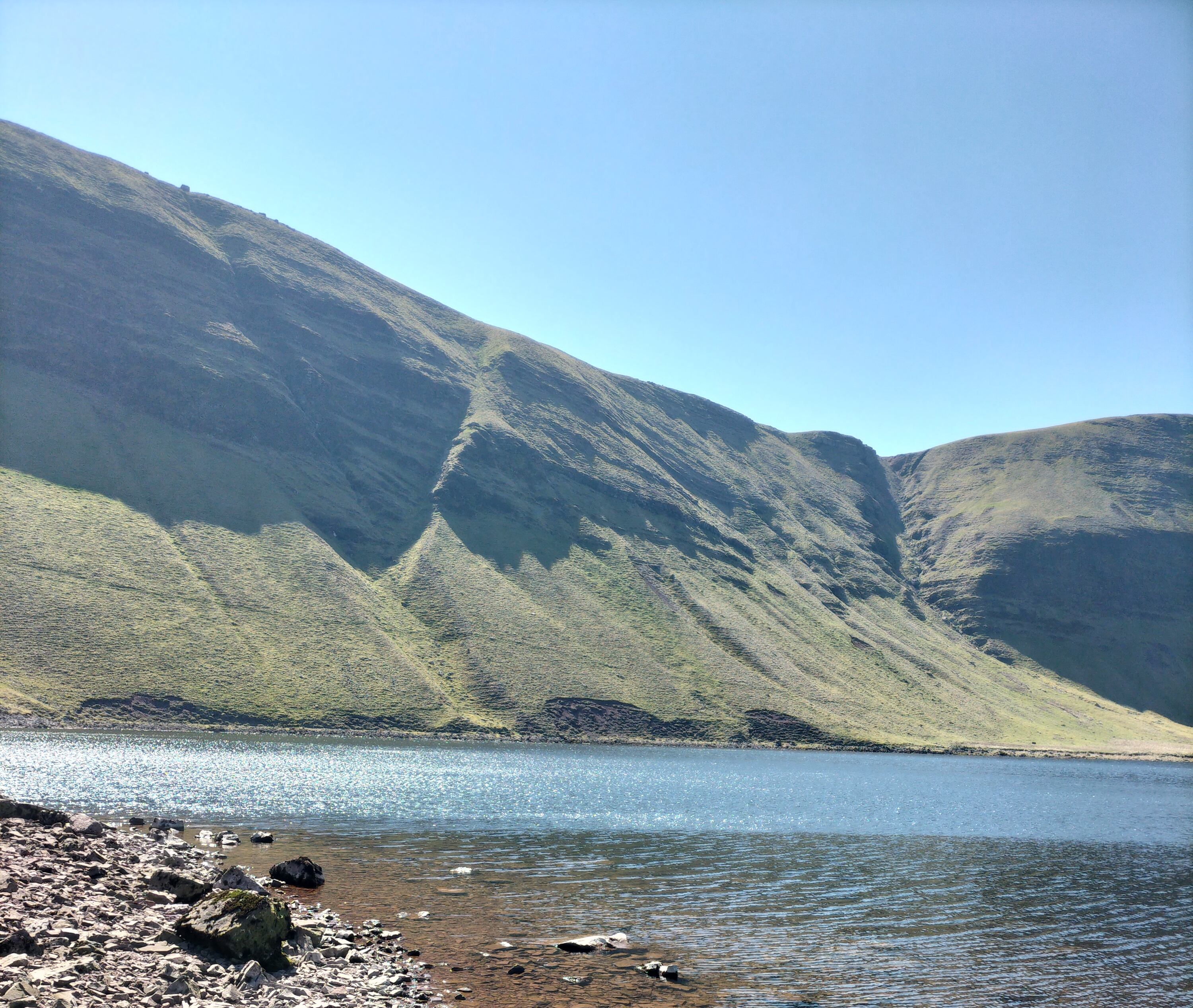
Llyn y Fan Fach is a glacial lake in the Brecon Beacons situated beneath Picws Du mountain, the second highest peak of the Carmarthen Fans in the Carmarthenshire section of the Black Mountain in the west of the Brecon Beacons. (The name Brecon Beacons has recently reverted to its old Welsh name, Bannau Brycheiniog, which means “the peaks of Brychan’s kingdom”)
For anyone interested Brychan Brycheiniog was a legendary 5th-century king of Brycheiniog (Brecknockshire, alternatively Breconshire in Mid Wales.

Brychan depicted in a window of the church in Brecon, Wales.
There is one thing I want to say before we go any further with this post.
Never believe the stats!
Distance: 9.2 miles (14.8km) circuit (Let’s just say Circuitous! Or, if you’re really wanting to be pedantic – like a dog’s hind leg… or two!)
Elevation gain: 720m (Gain is the right word. The exhilaration of getting anywhere near that height makes one feel as if one has reached the top of the world. If you can get enough breath to get that far!)
Difficulty: Moderate (if you can call the initial mile of a one in ten ratio upwards on a stony, gravelly track, followed by steeper narrow paths – Moderate.

The Llyn y Fan Fach car park near is reached by a winding single track road (with the added bonus of few signposts in an area that the SAT NAV doesn’t recognise – we went in a complete circle at one point) and is remote with no facilities. At all (Am I selling it to you yet? Hmm? Well… I will… later. Honest.).
All the previous being said, we had a wonderful day’s walk. Hike… I should have said hike, here (Or even … climb!)

Actually, when we arrived there was a group of young people from London who were walking the area as part as their Duke of Edinburgh Award. Very chatty – when they stopped to get their breath – which was as often as us. So I didn’t feel that decrepit!

And, of course, we had a picnic sitting by Lyn y Fan Fach, a beautiful lake surrounded by magnificent craggy mountain peaks. Sheltered by a wall, with the sun warm on our backs, we watched the grass swaying under the clear water, the surface a glistening reflection of the sky. The only sounds were the rustling of the wind, the cries of the skylarks, and, in the distance, the faint voices of people walking along the ridges of the Picws Du mountain


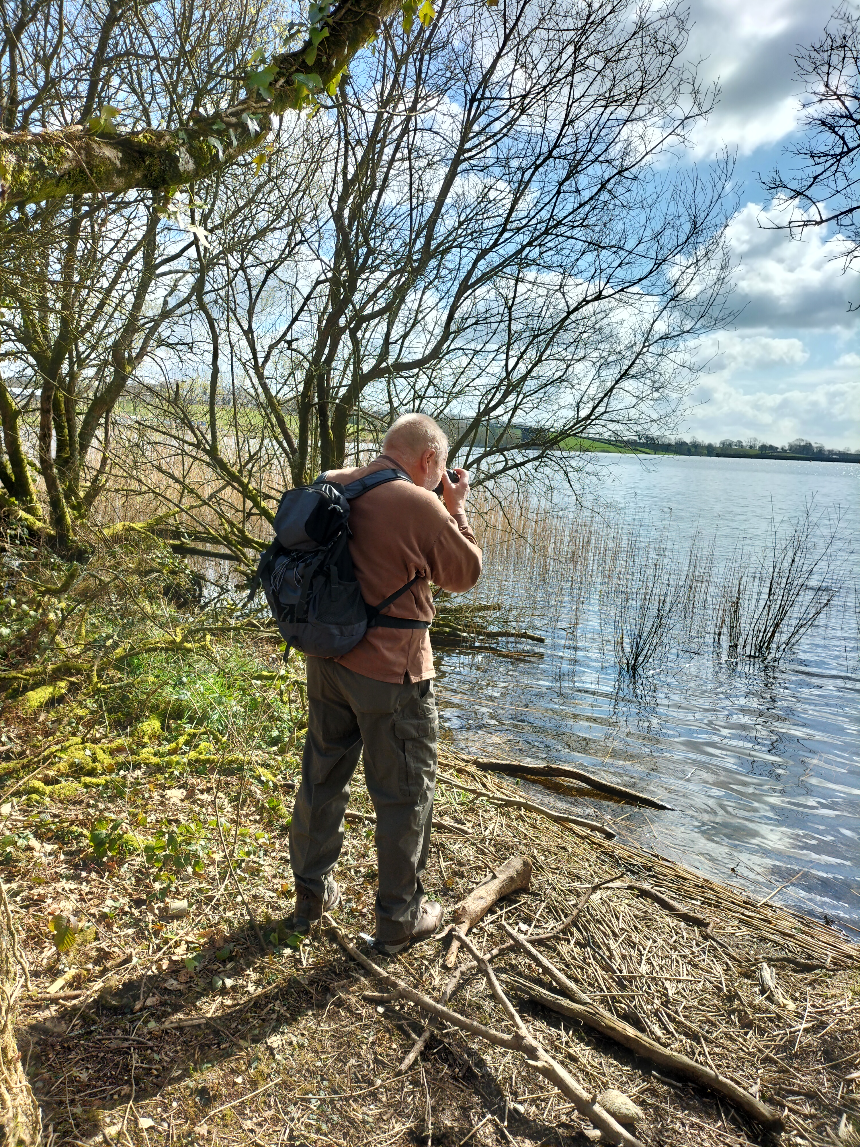
Which gave the photographer a chance to peruse the area.

Llyn y Fan Fach is renowned for Welsh Folklore. One folklore legend is the myth of ‘The lady of the lake’. In the folktale, a young farmer of the 13th century spotted the most beautiful girl he’d ever seen emerge from the lake, she was a princess from the kingdom of fairies. He courted the fairy princess by baking her bread and after three attempts he succeeded in winning her hand in marriage on the condition that if he hit her three times she would leave him. He complied easily because she was so beautiful and they were happy for years bringing up a family at his farm near Myddfai, with her magic dowry of farm animals. In time the inevitable happened he hit his wife (reported as apparently playfully!?) and she disappeared back into the lake taking her prized animals with her, leaving the farmer with her sons. The sons once grown became known as the “Physicians of Myddfai” who became physicians to the English royal court..
Further to the east, beneath the peak of Fan Brycheiniog, there is another larger lake called Llyn y Fan Fawr. These lakes and peaks can be visited through a combination of mountain walks. We studied the climb to the right. A very steep climb. And decided to take the easier route to the left. Easier for some – see below – the photographer in the distance, eager to get more photo opportunities.


It was so clear we could the rise and fall of the land for miles, it was stunning.

The path often disappeared under the mounds of long tough tussock grass and patches of boggy water. Though awe inspiring it felt very isolated: a few people far above us on the ridges of Fan Brycheiniog, a man striding, then sitting down, in the distance, a group of young men studying compasses and maps. We stopped – often – when skylarks rose and fluttered in front of us, desperate to take us away from their nests in the undergrowth. The wind came in strong cold bursts, and after we’d walked another mile, we knew, however disappointing it was, that we should turn back; not try to reach the other lake, Llyn y Fan Fawr, beneath the peak of Fan Brycheiniog, The speed we were going, we would chance being there after dark. Perhaps we shouldn’t have lingered so long at the first lake. Or set out earlier in the day. Or not got lost.
So, after a couple of photo shots, we made our way back across the land and down the track to the car. The Duke of Edinburgh students were still somewhere on the ridge. Knowing how they had dreaded the climb I didn’t envy them. And yet, not having achieved what we set out to do…
Still, a wonderful day in all.
Until the next time we attempt this walk …. or not.






 Judith Barrow