This was a walk we did twice when we were in the Yorkshire Dales. The second time we were here was by accident. We got lost – surprise, surprise – and came over a hill to find us again at …
Catrigg Force … a small but impressive waterfall just east of the village of Stainforth. The first time we found it we’d actually planned to call to see it as the first part of a longer walk (more to come on that another time!)

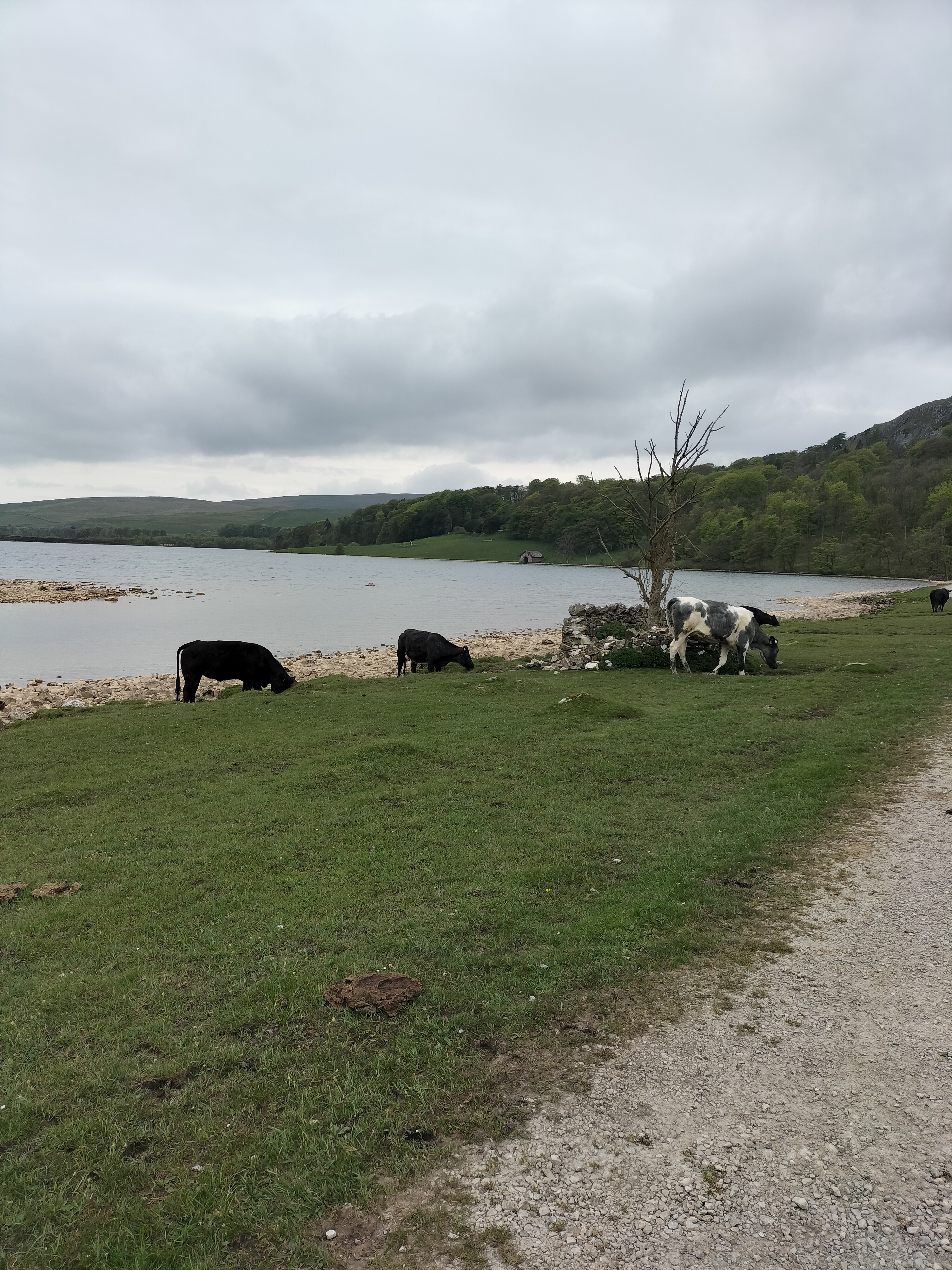
After a snack in the local pub (called the The Craven Heifer in Stainforth – spot a theme in these posts?!!) we headed up a bridleway called Goat Lane. (not sure why it’s called that, we only saw sheep and lambs – definitely no cows… well not at this point anyway!). The track, between parallel stone walls, is a small section of the Pennine Bridleway


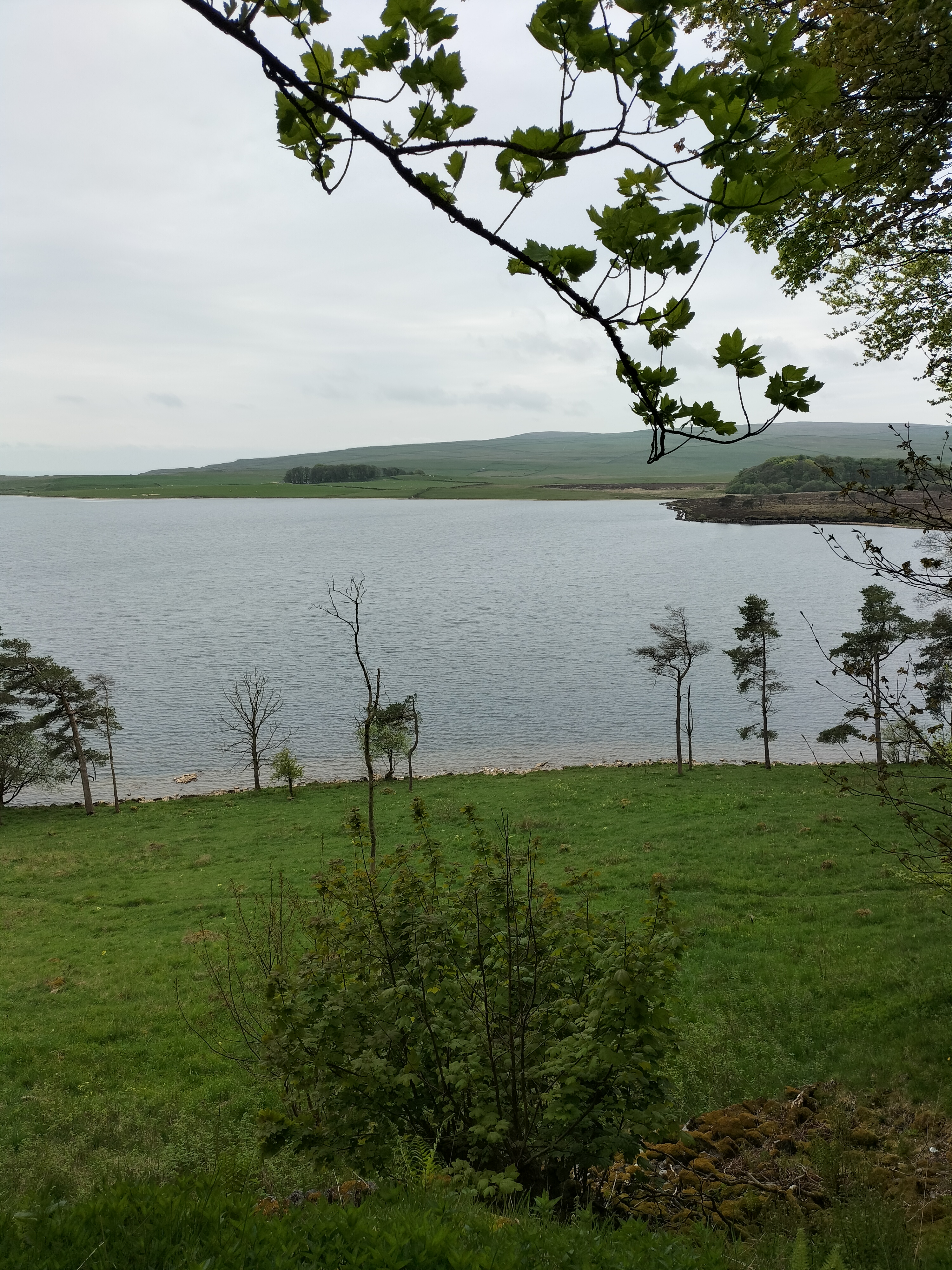
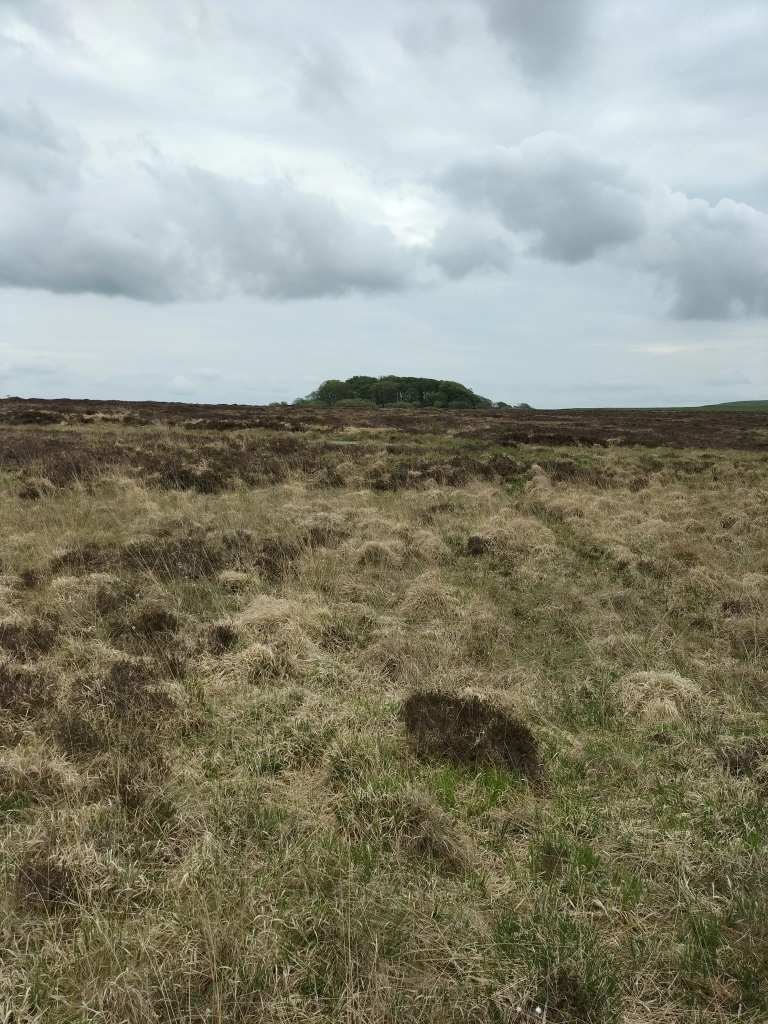
We meandered along the upward track for about a mile, past several derelict farm buildings, and stopping to admire the view. In the distance on the moorland, are the Winskill Stones, pedestals of limestone and topped with slate, left behind by ice-age glaciers. Finally we reached the signpost for Catrigg Foss on the left of the track.

No stile this time, a kissing gate, leading to a steep, rocky, narrow, path, down to the stream, Catrigg Beck, which flows from the hills and feeds the waterfall.

The poor quality and lack of any particular viewpoint/perspective in this photograph is because it was taken by me, on my mobile phone, while balancing on the edge of the waterfall and hanging onto a branch of a nearby tree. All without the knowledge of the photographer, who’d wandered off to find the the base of the waterfall.


I followed. Leaving the stream, I made my way down another narrow path alongside a sheer wall of limestone rock and a tree-lined drop to a deep, hidden gully that holds the waterfall and the shallow river, the continuation of Catrigg Beck. There were two separate, quite magical falls, well over six metres in height in the long wooded copse. The sprays of water, a sparkling shower of colours in the sunshine that flickered through the leaves, landed all around us. The only sounds were the waterfalls and the calls of birds. Perfect peace …

Ah well… as I said, this was only the start of a massively, more strenuous, longer walk – a longer walk, planned by the photographer, to take in the landscape from the Victoria Cave in Ribblesdale (discovered by chance in 1837, the year of Queen Victoria’s coronation). This second time we were here was purely by coincidence, and at the end of a quite sedate walk … for us! We ambled through fields, back to where we were staying in a tiny cottage in Langcliffe.
By the way…

Apparently Catrigg Force was a favourite haunt of composer Edward Elgar. He visited the waterfalls and, during his visits to the Yorkshire Dales, was inspired to compose Pomp and Circumstance and the Enigma Variations, his most famous works.
Three fun facts about Elgar – Not only was he a composer, but he was also an amateur chemist. In his spare time, he would tinker with experiments. He was the first composer to fully embrace recording music. And he loved cycling. He had a Royal Sunbeam bicycle that he nicknamed ‘Mr. Phoebus. ‘
.
.