
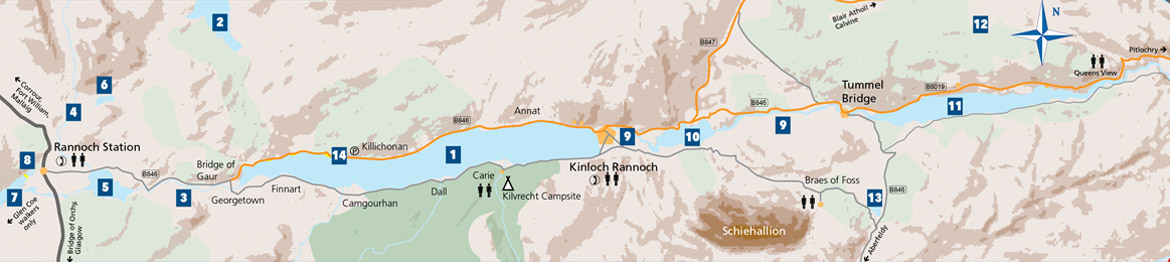
Craig Varr is a truncated spur; a ridge cut off by the glaciers of the last ice age around ten thousand years ago. The result of the ice erosion is a cliff close to Kinloch Rannoch and a ridge that leads northeast to Beinn a’ Chuallaich (Mountain of the Herding”) .
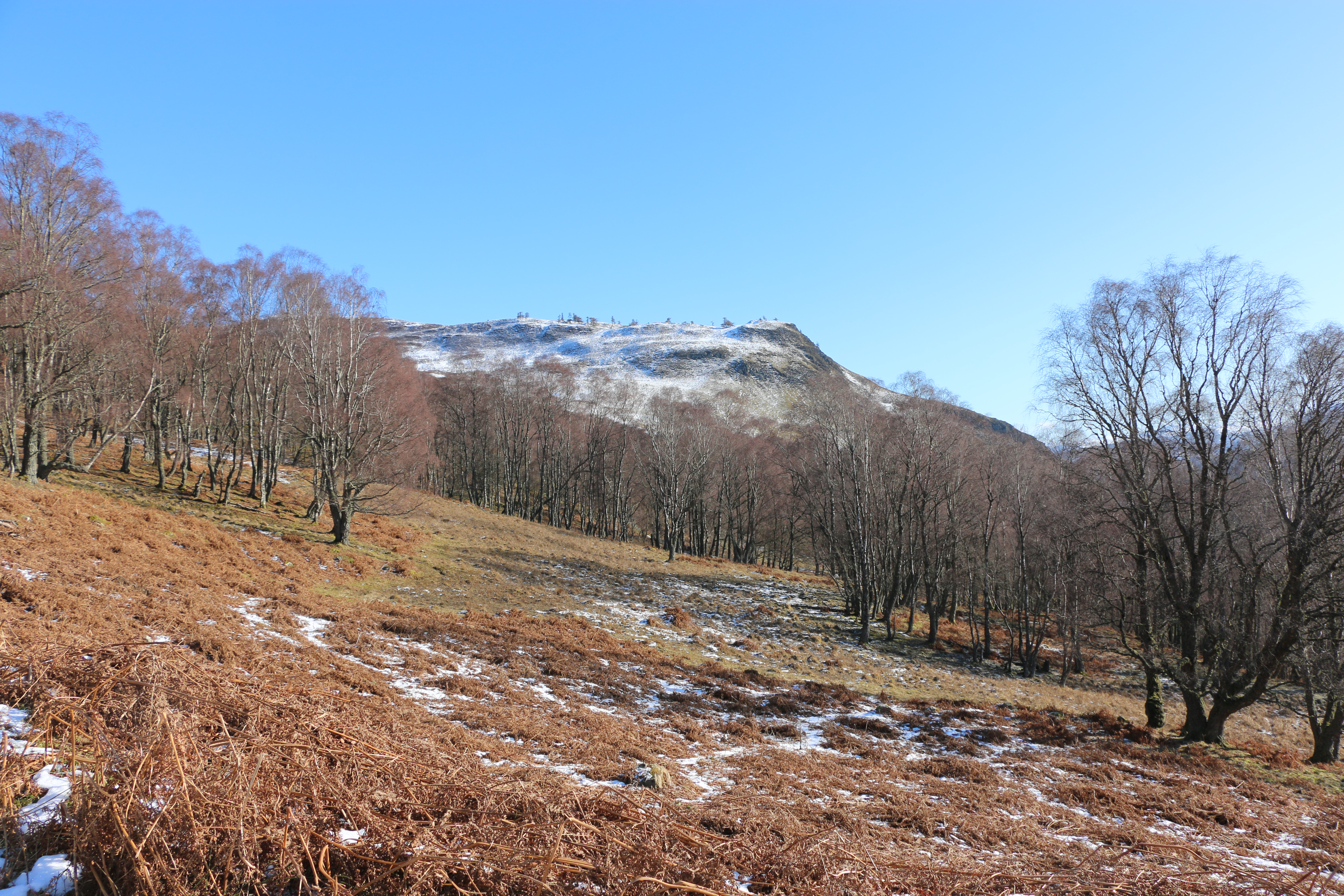
Craig Varr – the first walk that the Photographer had identified when we knew we were going to Kinloch Rannoch. We perhaps should have taken notice of the warning: ‘Very steep initial ascent on a wide path; then pathless and boggy for a section before a final rough ascent’,
Especially when, on the day we arrived, it snowed!
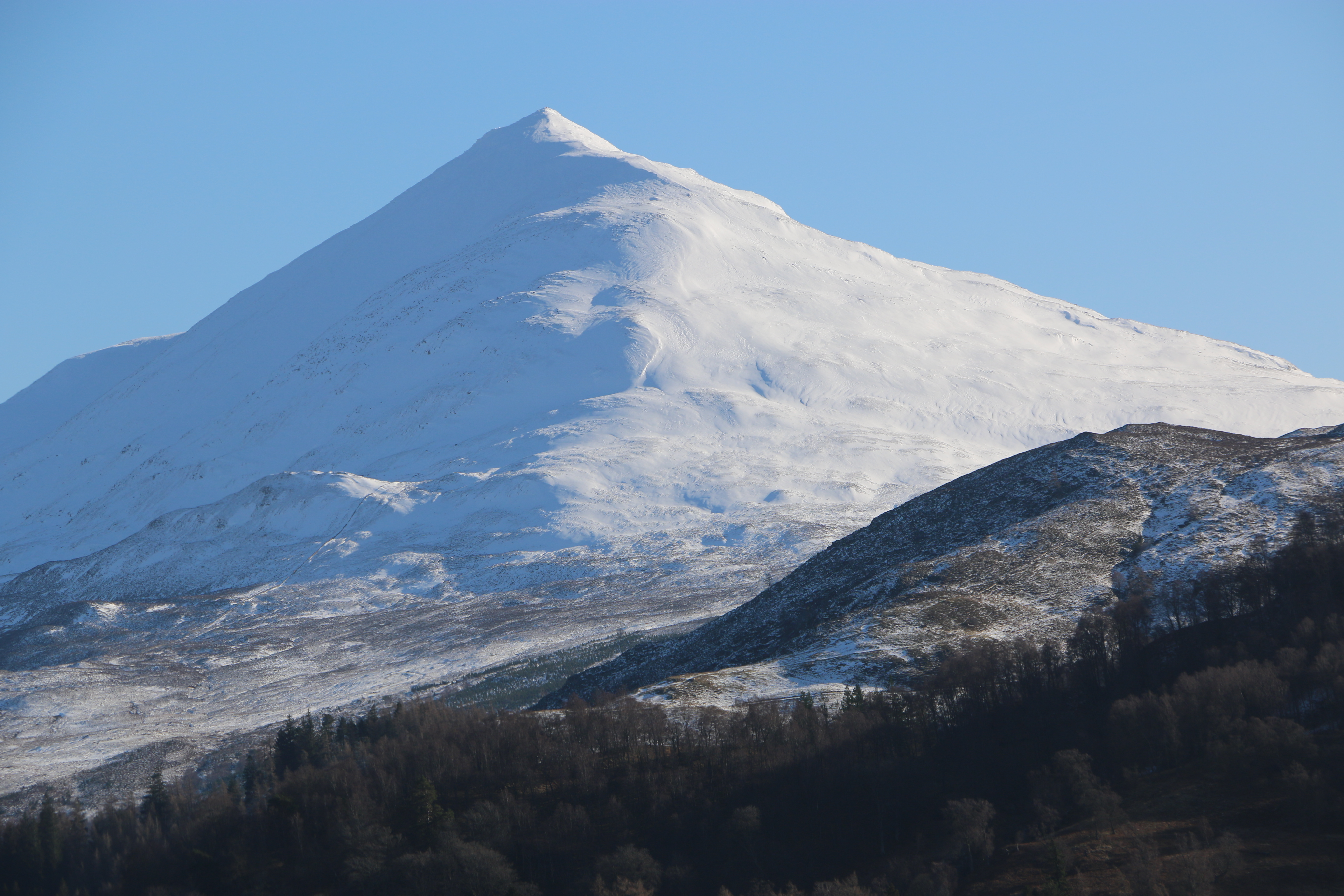
But the Photographer was keen – very keen – to take some photographs, particularly of the mountain to the south, the triangular profile of Schiehallion. He was convinced that if we could climb only a short way up to Craig Varr, he would get a decent phtograph. As you can see, he did!
We often forget how old we are. And it was with this oblivious attitude that we set off in hiking boots and with poles.
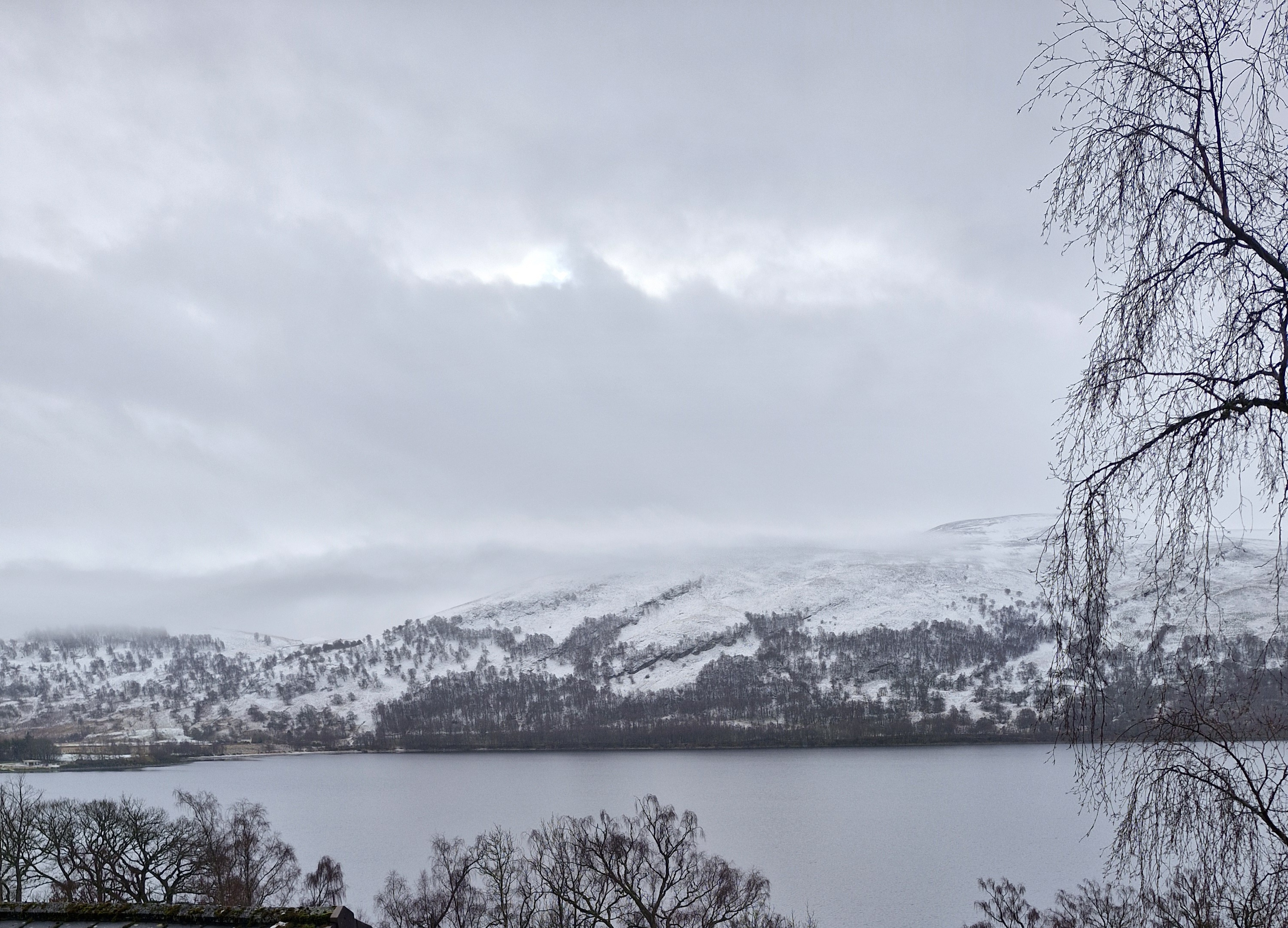
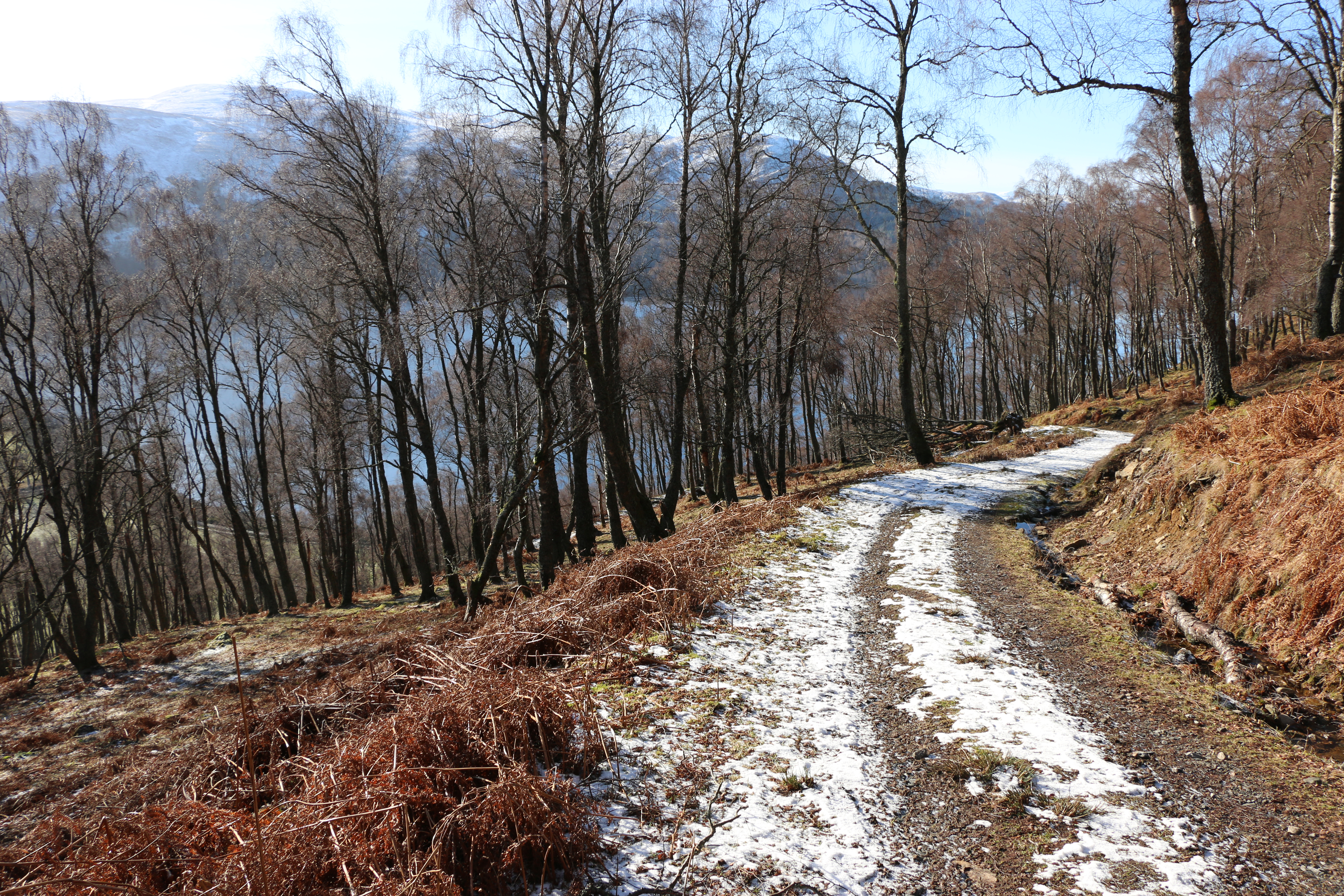
We left mid morning: the snow had disappeared from the roads, the sun shone, the air was quite warm, and from the path overlooking the loch it felt like a lovely Spring day, despite it only being February.
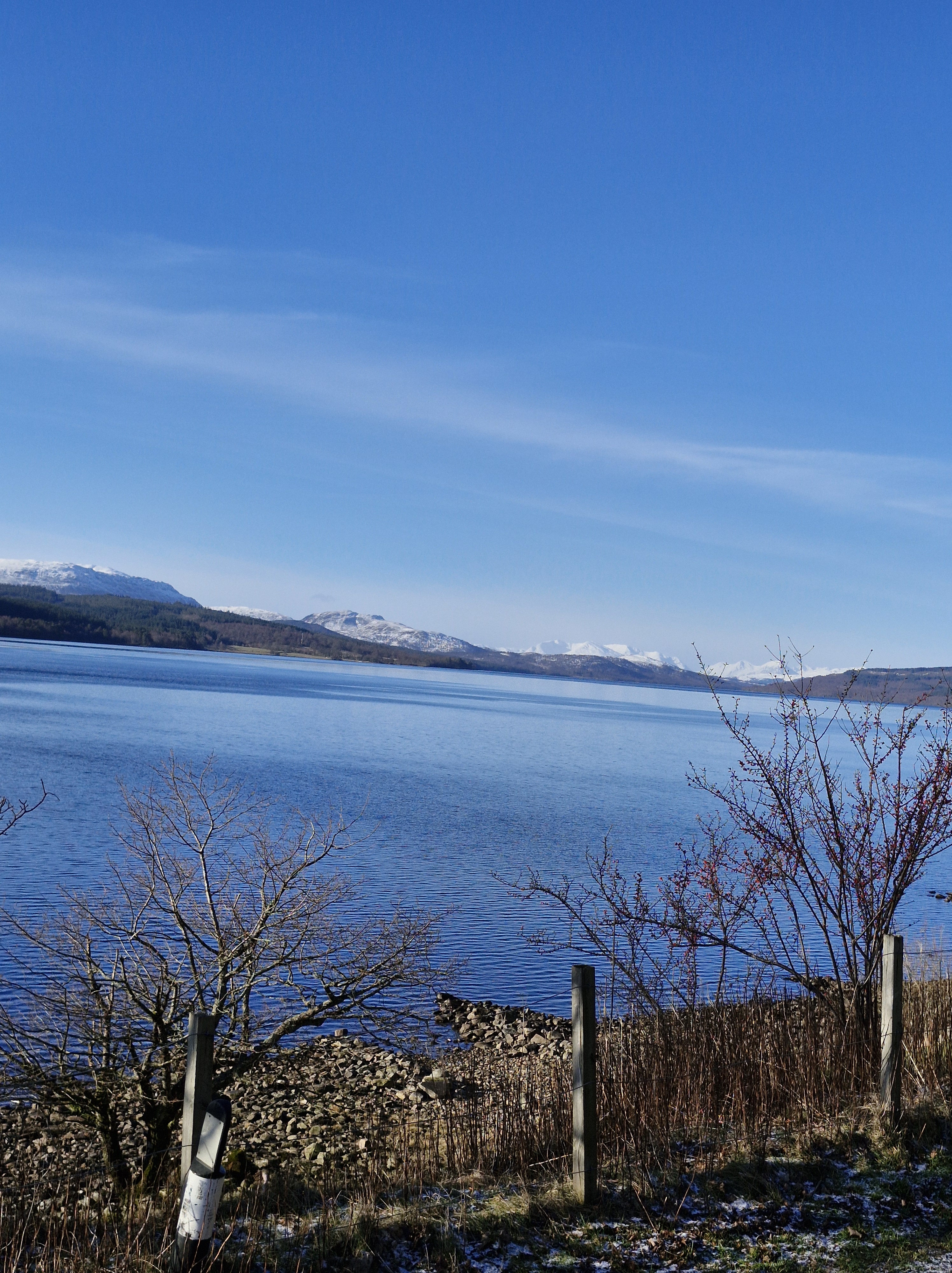
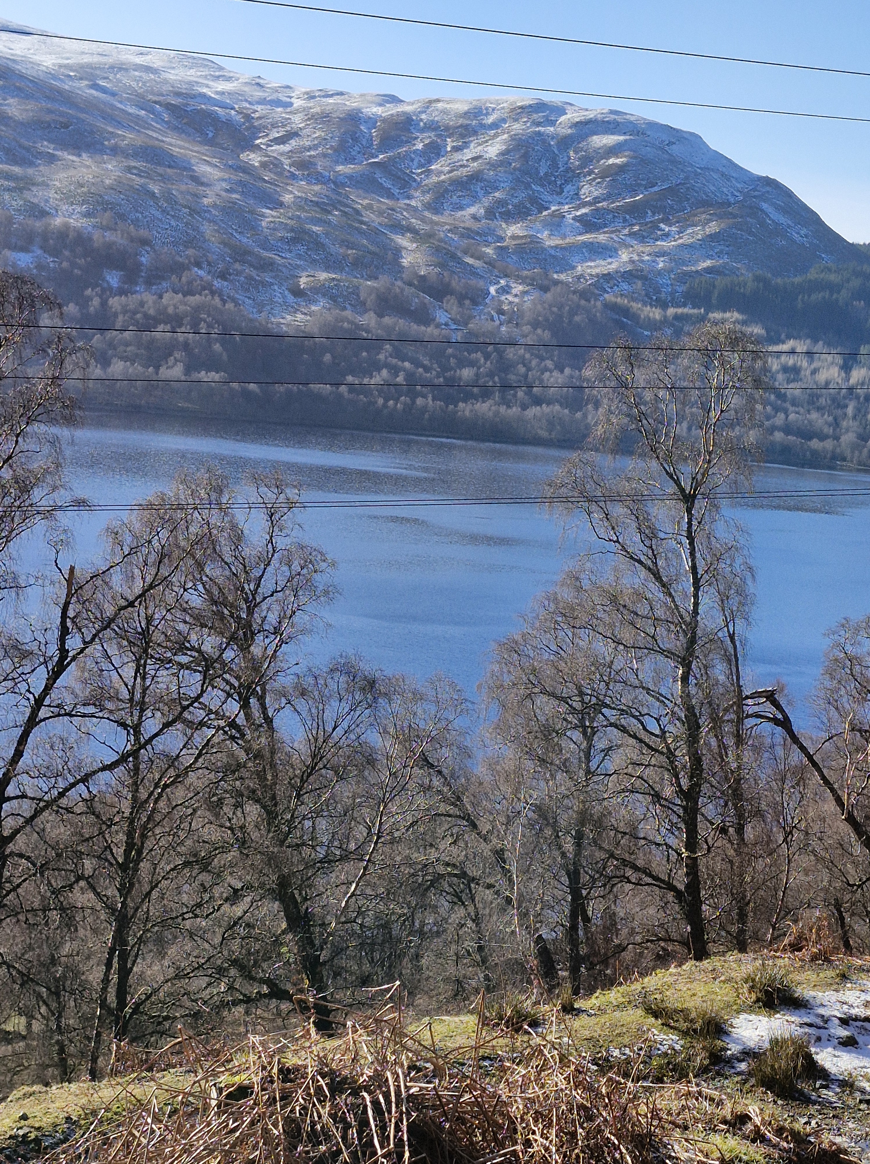
Against the clear sky the loch was impressive through the trees.
The Photographer stopped often to take photos.
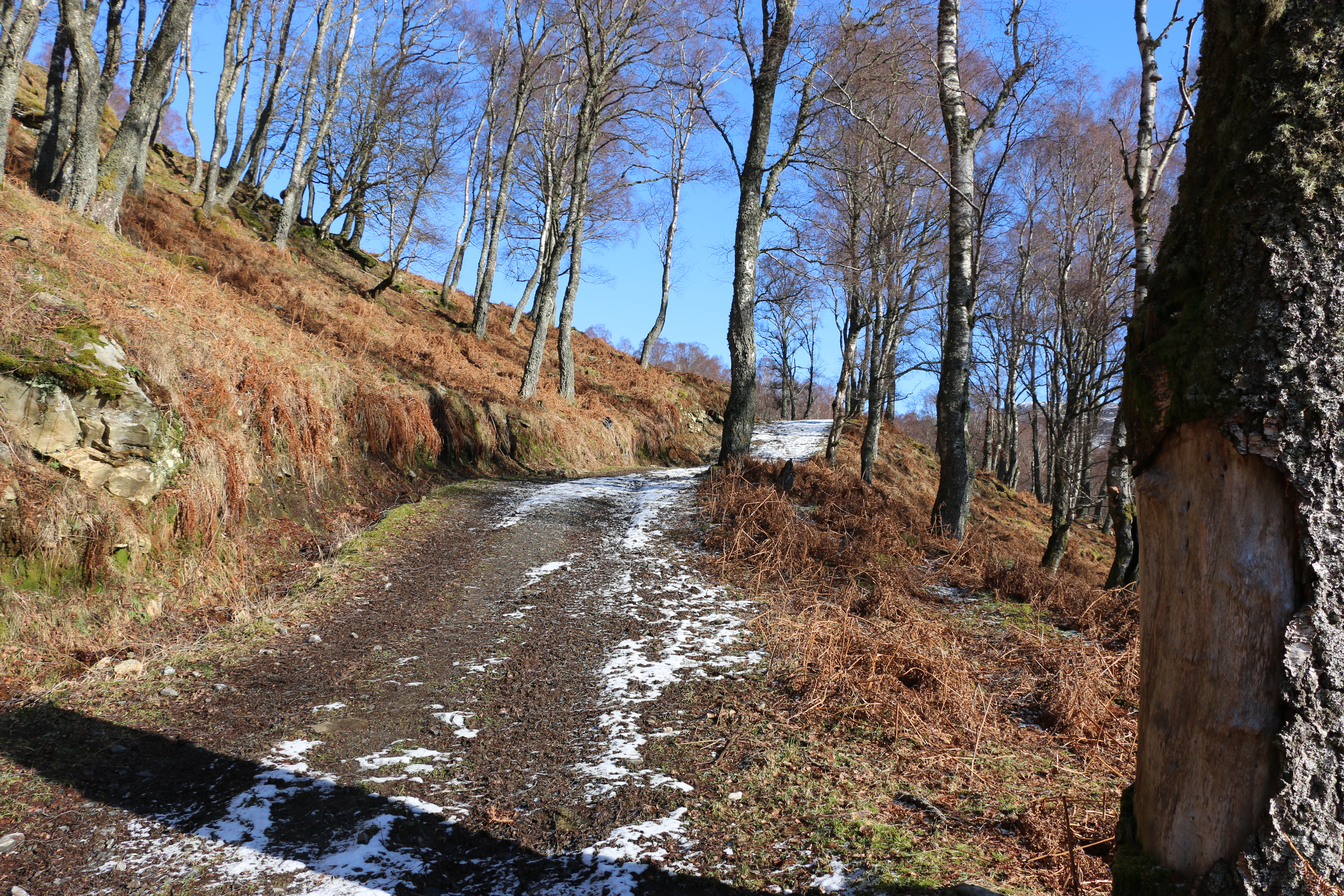
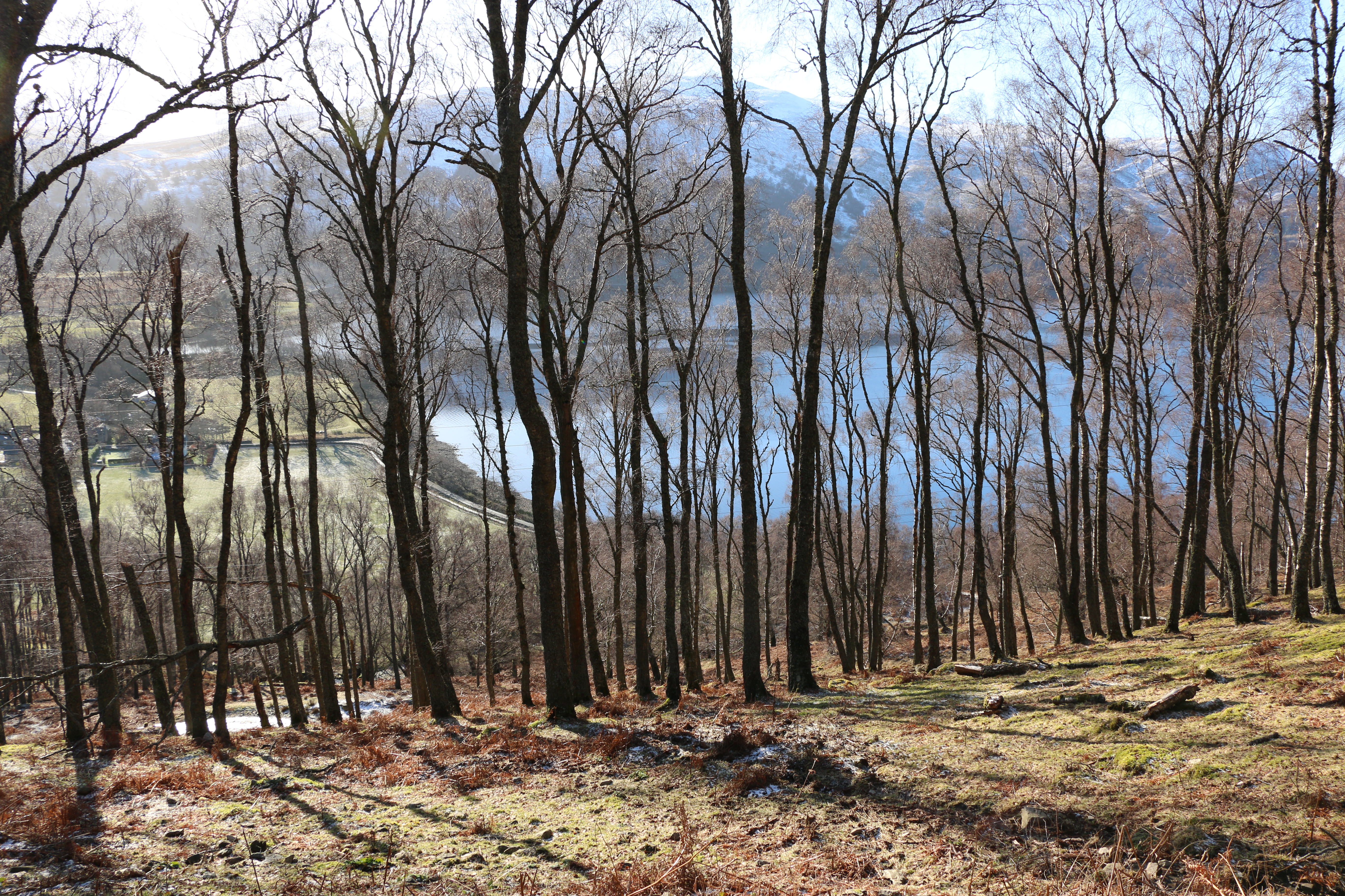
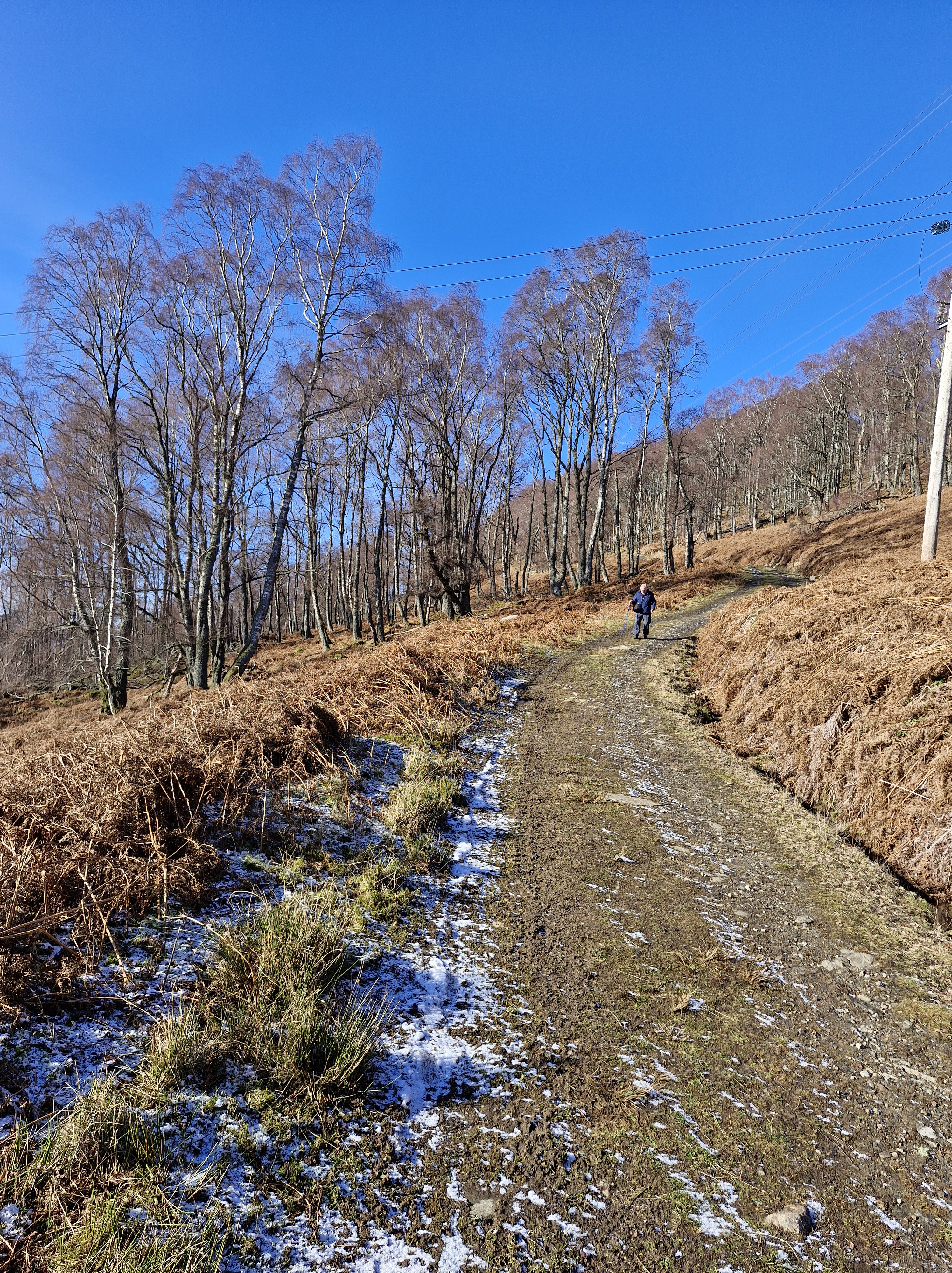
The track, though rough, was easy at first. We resolved to walk as far as it proved so.
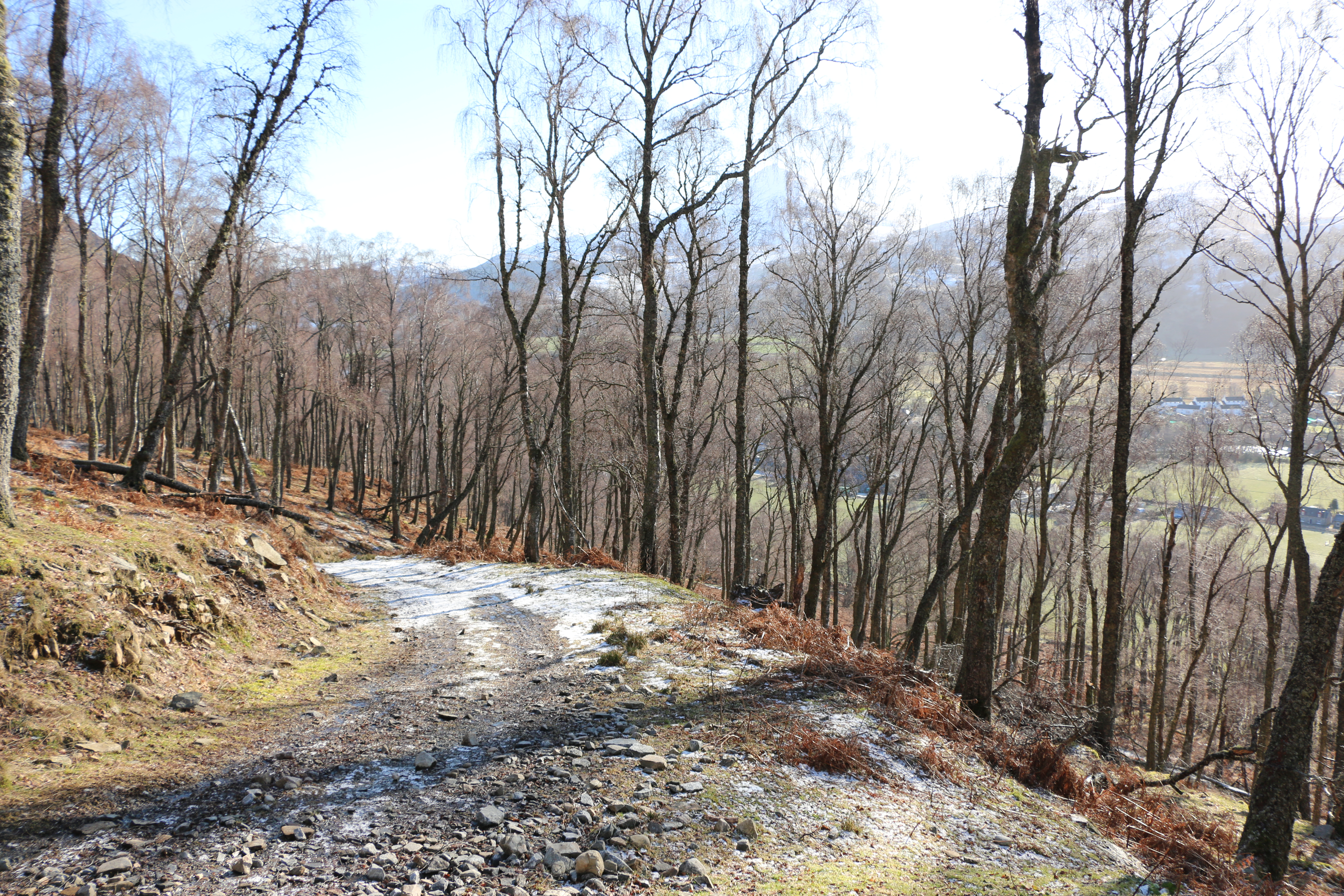
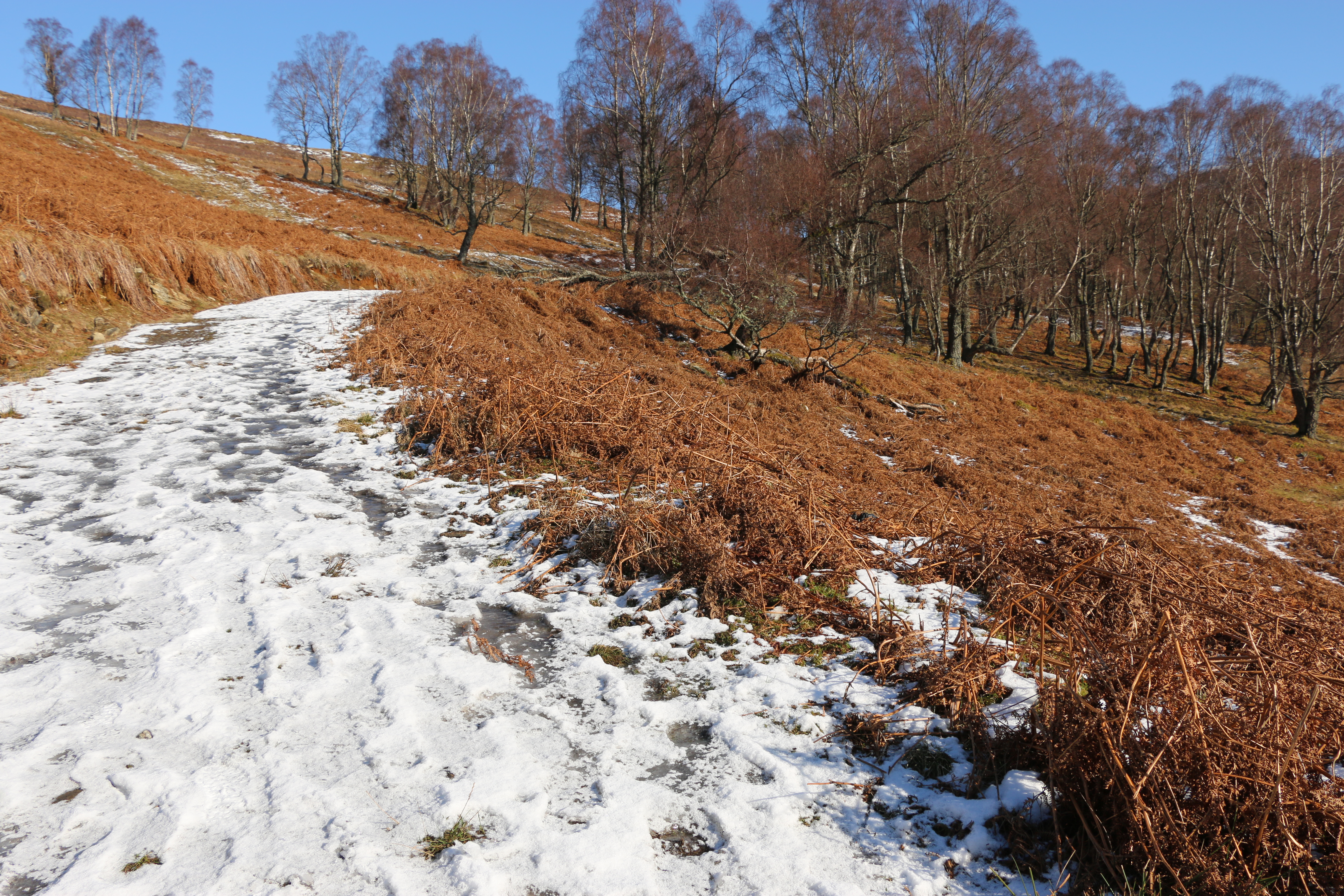
But soon we encountered more snow and ice
Common sense kicked in – we turned back. The climb would be for another day, preferably a long summer’s day. Or at least a day when there wasn’t any snow.
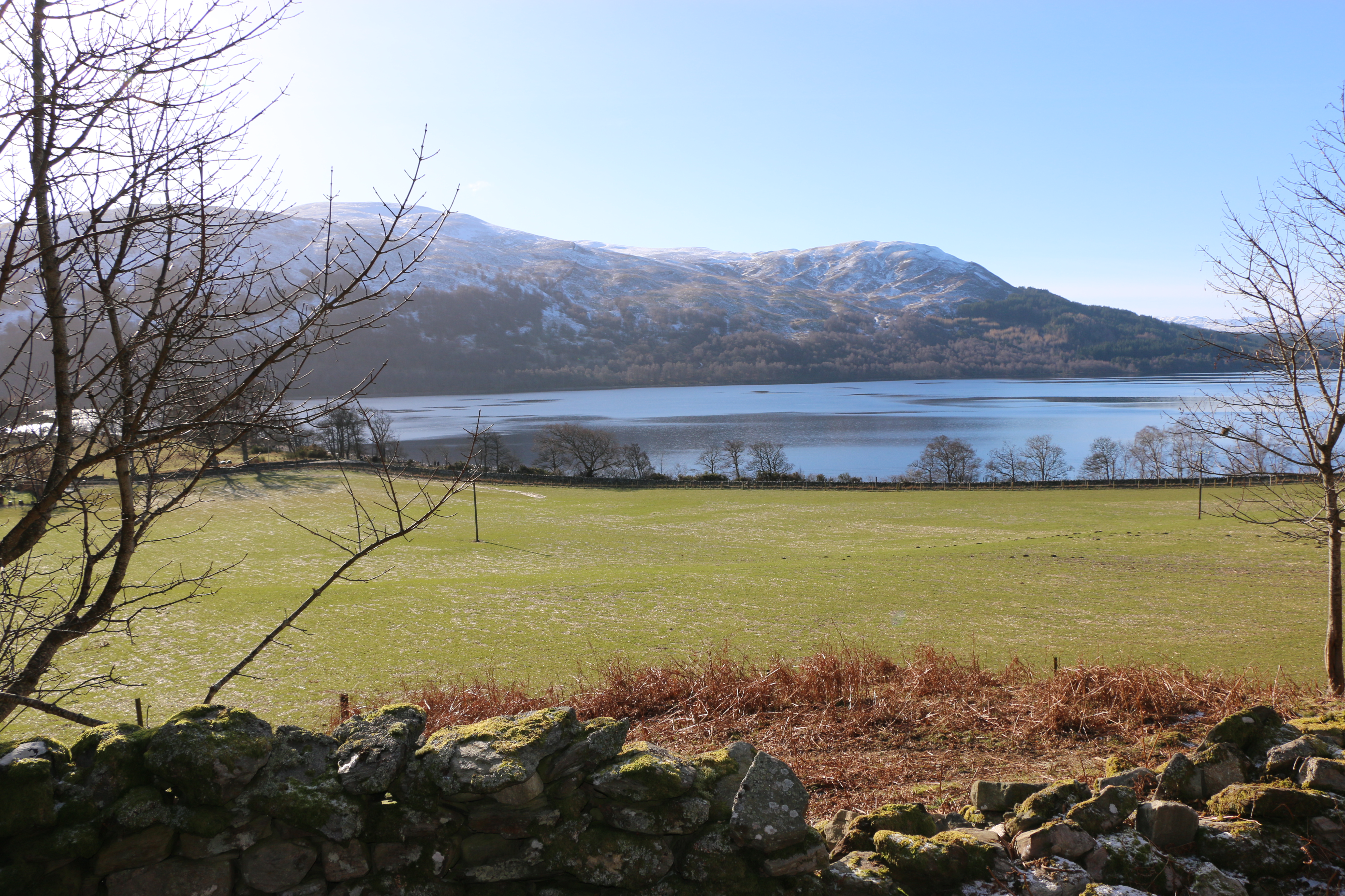
Back at the lodge we agreed that tomorrow’s walk would be on lower ground – probably around the loch.
N.B. For interest:
Schiehallion: the mountain that weighed the Earth
This superb quartzite mountain was chosen in 1774 as the site of a famous experiment to weigh the Earth; today it is an unrivalled viewpoint.
Six to seven hundred million years ago the area that now forms the Grampian Highlands was a shallow sea. Layer upon layer of sediment was formed from mud eroded from the land, white quartz sands, and limy deposits. As these layers were buried and compressed, they became mudstone, sandstone and limestone. At that time Scotland was at the edge of a continent which included North America, separated by the deep Iapetus Ocean from the rest of Europe. Plate tectonic movements closed this ocean 470 to 430 million years ago, subjecting the buried rocks to great heat and pressure. Mudstone became schist and slate; sandstone became very hard, creamy-white quartzite; all were folded and fractured in complex patterns. At the end of these earth movements the rocks were uplifted to form the Caledonian Mountains.
Perhaps one of the most amazing things about Schiehallion is that this folding and fracturing of the rock layers is so pronounced in the area around the mountain that the mountain itself is almost ‘upside-down’! In other words, the older rock layers can be found at the top of the mountain and the younger layers at the bottom.
Several different rock types can be seen on the main path up Schiehallion,. You may come across a limestone pavement with water-worn fissures and potholes. Locally, these limey soils support unusual plants. The same rock can be seen in quarries and a restored 19th century lime kiln at Tomphubil. . Most of the ridge is grey to white quartzite, with current bedding in a few places and an occasional band of pinkish brown microdiorite. In the Tempar Burn to the northwest is the famous Schiehallion Boulder bed, an ancient glacial tillite.
During the Ice Ages of the last two million years, glaciers flowed east from Rannoch Moor, carving the hard quartzites of Schiehallion into a streamlined ridge and digging deep valleys on either side. The ice has carried blocks of granite and schist, and dropped them all the way along the east ridge, up to a height of about 980m. From there to the summit the path goes over bedrock with only local quartzite boulders.
The experiment of 1774 to weigh the Earth involved measuring the deflection of a plumb line resulting from the gravitational pull of a nearby mountain. Schiehallion was considered the ideal mountain, due to its isolation and almost symmetrical shape. The tiny deflection of a plumb-line from the vertical must be measured relative to the fixed background of the stars, which requires extremely careful measurements on either side of the mountain. The mass of the mountain can be worked out from its volume and the density of its rocks. These values can be used to find the gravitational pull of the Earth, and thus its mass.
Text contributed by Carol Pudsey for https://www.scottishgeologytrust.org/
Discover more from Judith Barrow
Subscribe to get the latest posts sent to your email.

Fascinating information, Judith, and thanks to the photographer for the spectacular views!
Thank you for dropping by, Noelle. He does take lovely photographs – making good memories.
LikeLiked by 1 person
Looks absolutely gorgeous!
It was, Barb. One day of snow, five of fine, quite sunny days. Rained on the last day – and all the way back to Wales!
LikeLiked by 1 person
Stunning photos! There does seem to be a pattern now of your simple walks becoming anything but… It was all well worth it – even the snow! xx
You’re right, of course, Trish, even the simplest of our walks seem to turn into complications – all adds to the fun, of course! LOL. And David always manages to get his photographs.☺️
LikeLiked by 1 person
Absolutely beautiful, peaceful and serene. I love when I come across posts that remind me that even in this chaotic world, there is beauty all around us.
Thank you so much. I’m so pleased you enjoyed the post. Walking in lovely places – and writing – are two things most precious to me – besides the Photographer, of course.☺️
LikeLiked by 1 person
Schiehallion is absolutely stunning! Measuring the weight of the earth takes some hardcore physics!
Thanks, Liz. And physics was always beyond me, I’m afraid, but I found this fascinating.
LikeLiked by 1 person
fascinating, and fantastic photos as ever.
Thanks, Thorne. It is a magnificent area. I’m glad we went.
LikeLiked by 1 person