Where We Walked #NationalTrust #PembrokeshireU3a #Pembrokeshirecoast #sealspotting #walks #photography

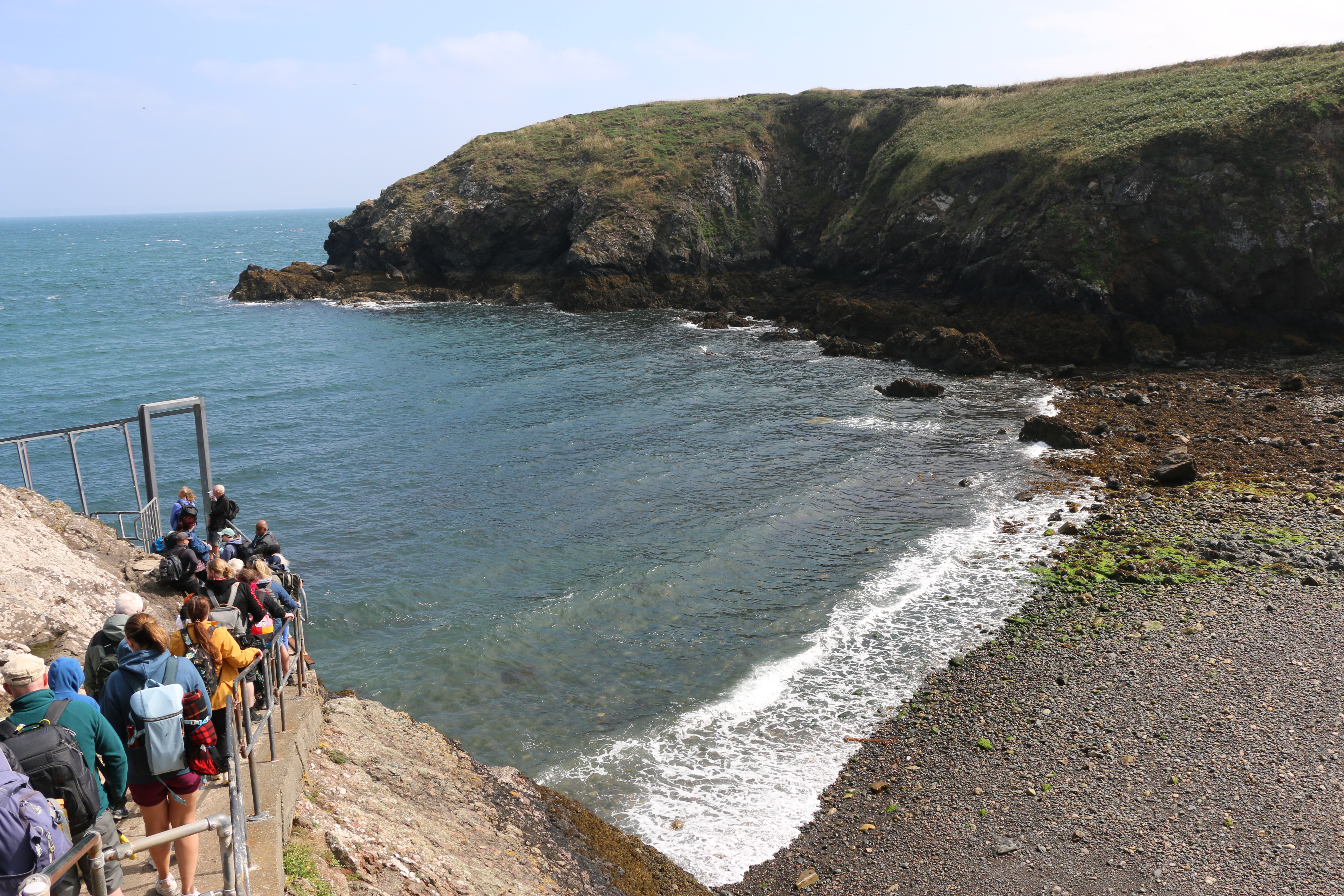
Over the last few weeks we have walked along the Pembrokeshire coast with the Pembrokeshire U3a and the National Trust …

And joined in with a couple of days seal spotting … from the clifftops, so at a distance, of course.

And watching the mothers with their pups was fascinating

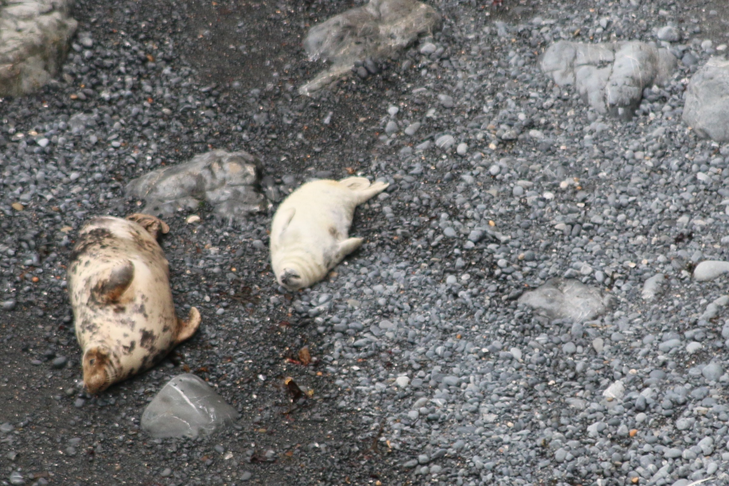
Around the coast of West Wales, grey seals can be seen throughout the year. In the summer, around sunset, the seals begin to return to the beach hauling out their daily catch of fish. Mostly, at this time, they bob about in the water, waiting to come ashore to rest. Seals spend a lot of time at sea but come ashore to breed from August until early November, when parents and their pups can be spotted on beaches around Pembrokeshire.

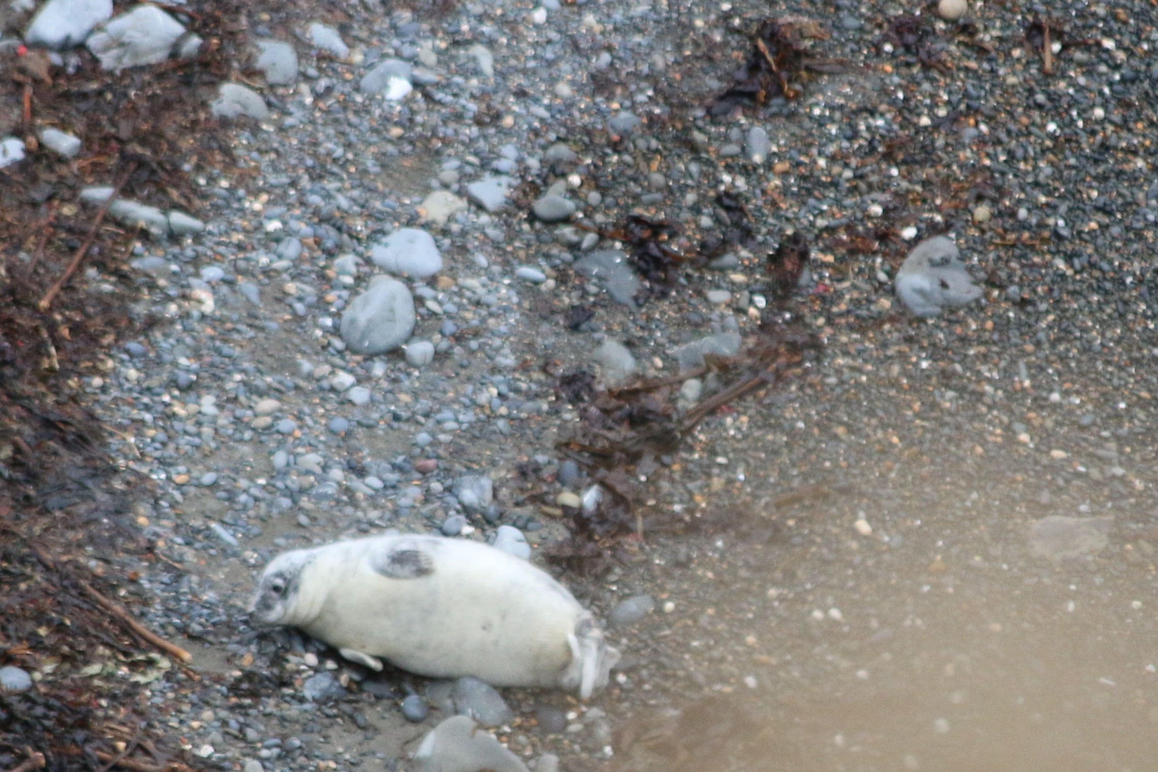
On land they are cumbersome and slow, compared with their agility in the ocean.

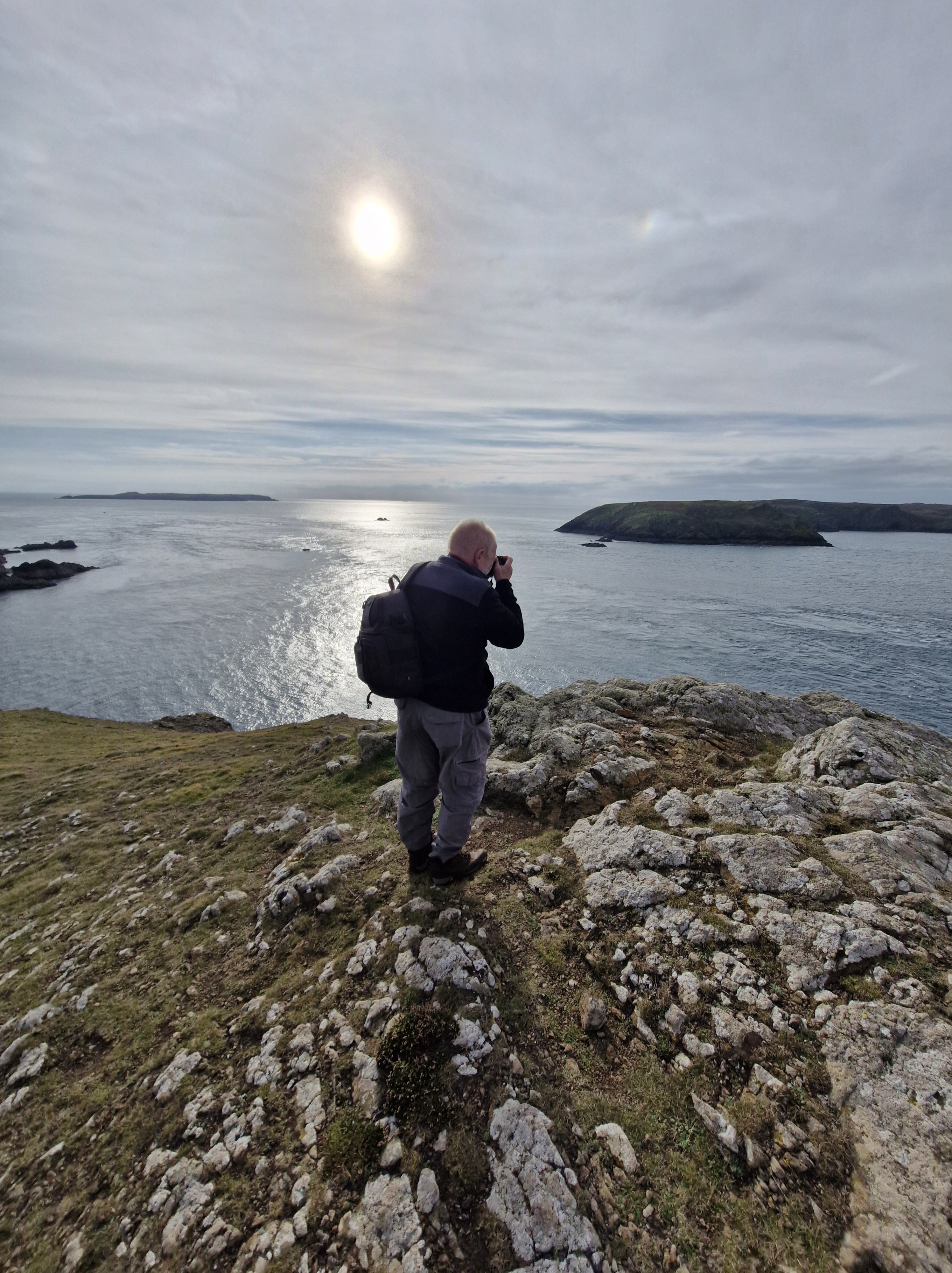
Which gave The Photographer plenty of time to get his pictures!

Many thanks Pembrokeshire U3a and the National Trust for two brilliant days .

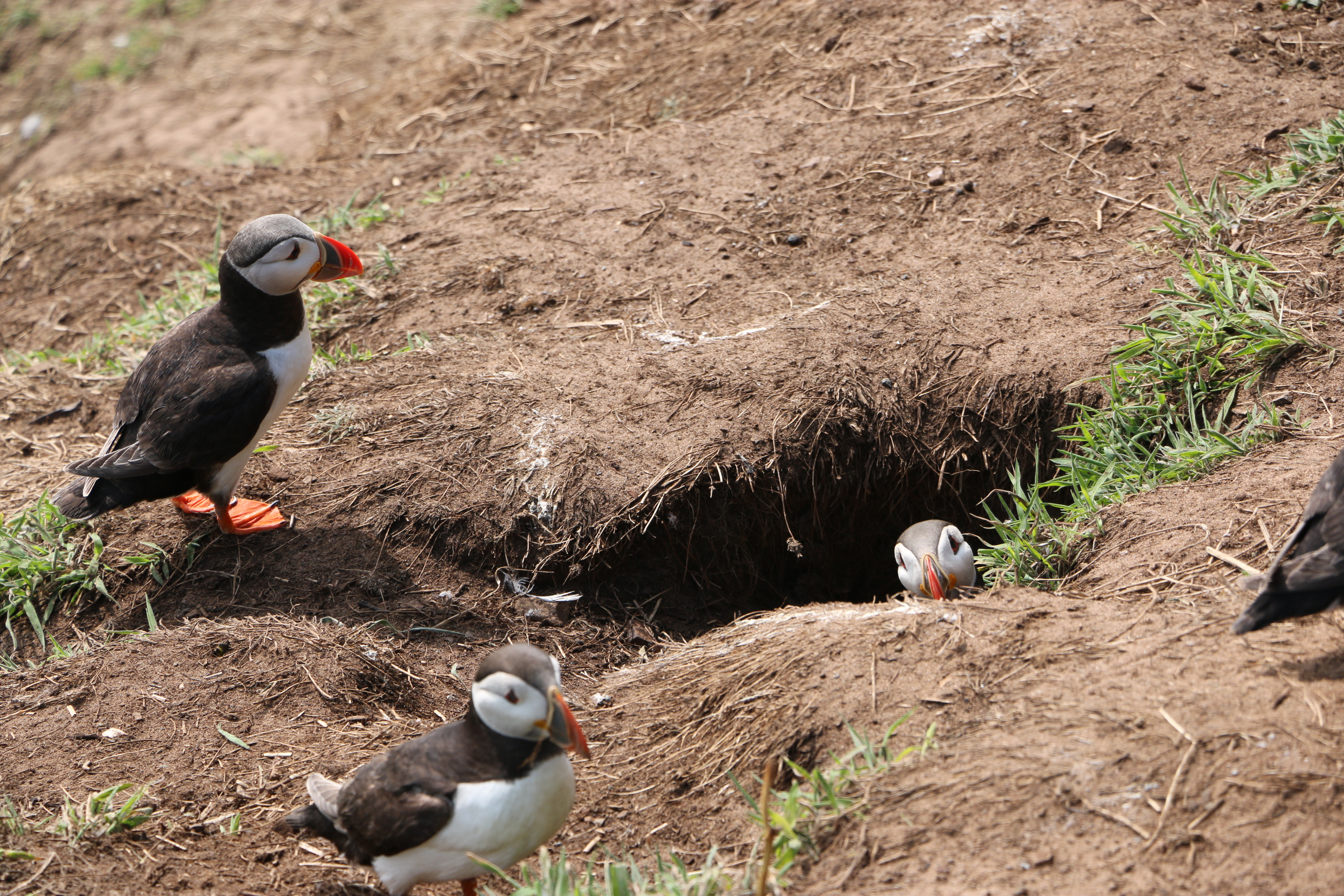
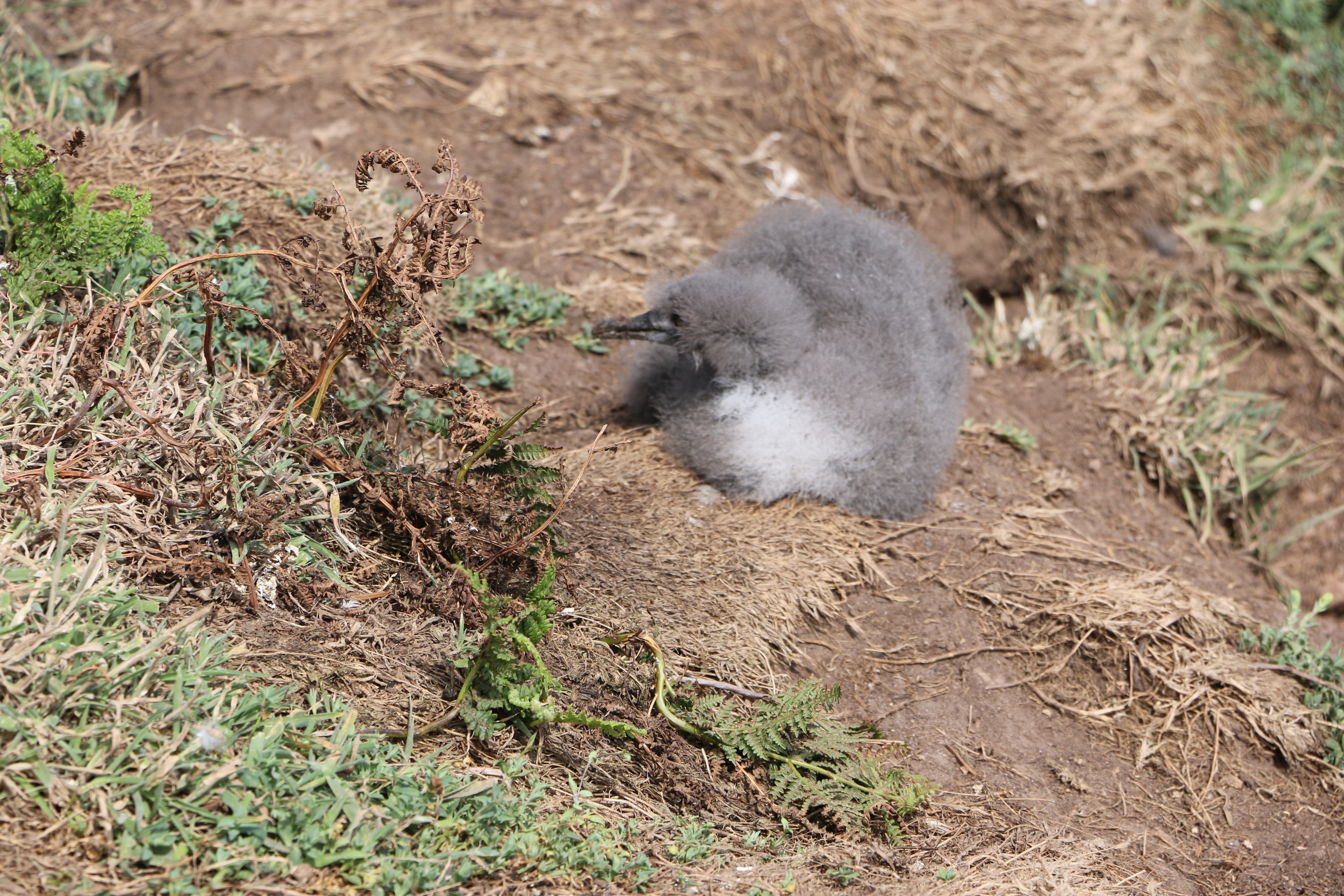
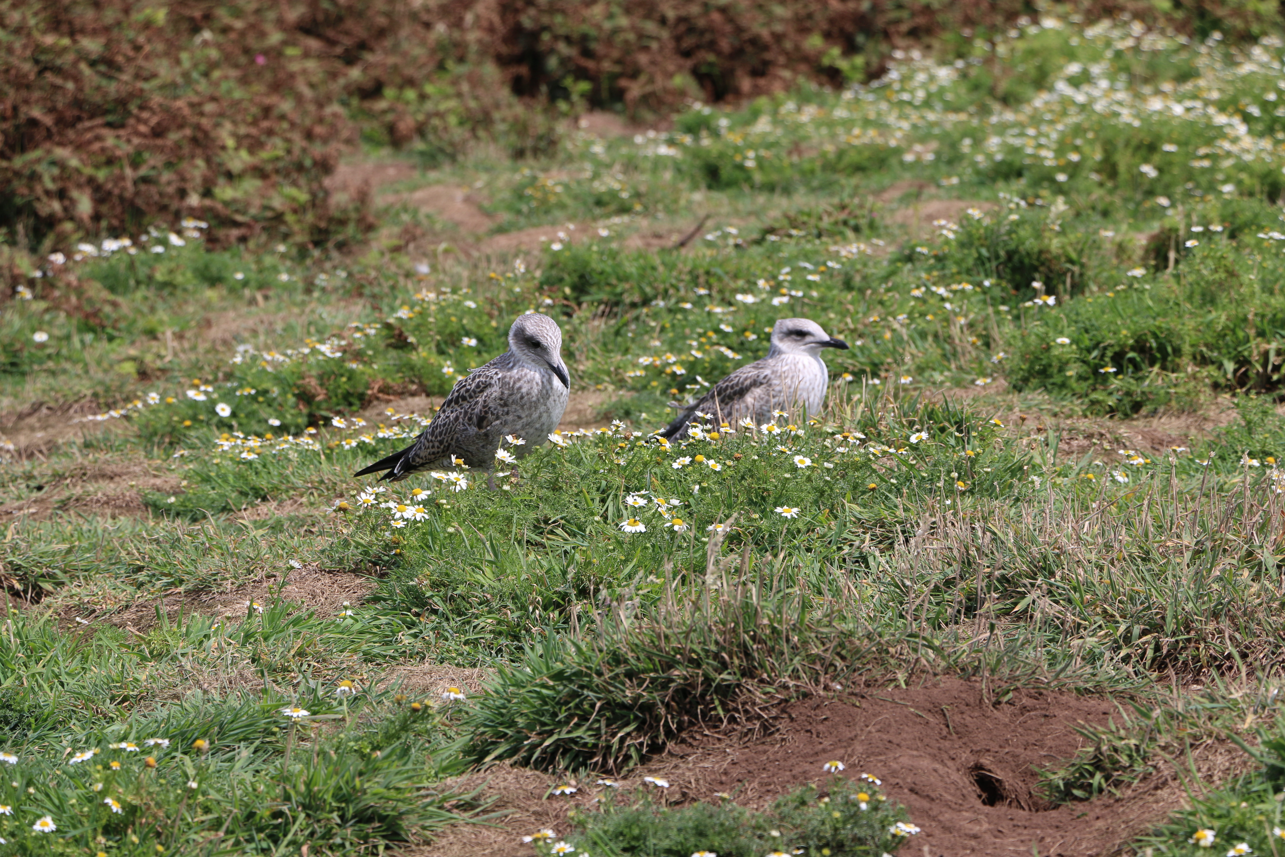
Fun Facts (courtesy of https://tinyurl.com/5n8ukdyz )

Fossil records indicate that the ancestors of modern seals first entered the ocean on the west coast, about 28–30 million years ago.

Seals see very well under water—better than they do in bright light above water. Their eyes are adapted with round lenses (like fish) and a large iris that fully opens underwater. On land the iris closes the pupil to a small pin point that lets the seal see clearly through the round lens. A seal’s eye is also adapted for low-light vision with a lining (similar to a cat’s eye) that reflects and amplifies the weak light at depth in the ocean.

A seal’s body stores enough fat in the blubber layer to allow the animal to go for extended periods of time without eating. In addition, most seals are opportunistic feeders and will consume a variety of fish, shellfish, and crustaceans. Seals do not eat on land.

Like all marine mammals, seals get all the water they need from their food. Their bodies are very efficient at removing and recycling water from their food. They avoid drinking sea water; if a seal drinks too much sea water it can become seriously sick. Arctic seals, which spend time on ice, may sometimes eat fresh water ice and snow.

NB: Seals are protected in the UK under various acts, including the Conservation of Seals Act 1970, which prohibits killing, injuring, or taking them except under specific circumstances. Both native species, the grey seal and common seal, are protected, along with any other seal species found in UK waters.

Crossing off the Bucket List: Part One @SkomerIsland #walks #photographs #birds #plantlife #Memories

At long last! After living in Pembrokeshire for the last forty-six years and despite walking many miles of the Pembrokeshire coast, and meandrering around a lot of the Welsh countryside discovering wonderful places, lakes, waterfalls … scenary, we hadn’t been on Skomer island. This week we finally managed to go. And it was a glorious day’s adventure.

Boarding the Dale Princess

Arriving on Skomer

To be greeted by numerous curious puffins who seemed as interested in us as we were in them….

Skomer is internationally important for seabirds and, of course, there are necessary rules to protect the birds so we were told where and how we could walk the paths. One of the National Trust volunteers told us about the numerous species of birds on the island which included the Puffins – now in their last week before they leave the island – we were so lucky to see them.

The colony of Manx Shearwaters is the largest colony in the world. Unfortunately we found quite a few remains of these on the narrow paths, apparently caught by the Great Black-backed Gulls. Later in the day we came across a crowd of people watching a Manx Shearwater chick which had wandered out of its ground nest. Seeing the amount of Gulls flying overhead, we hoped it managed to shuffle back to safety.

We weren’t lucky enough to see the Storm Petrels that are usually here on the island (they probably were but our binoculars were of slightly less quality than those hired out for five pounds by the National Trust). But we did see Guillemots, Razorbill, Kittiwakes, and so many of the ubiquitous Carrion Crows and Ravens

And at the Bird Hide, we watched Fulmars, Herring, Lesser and Great Black-backed Gulls as well as a pair of Canada Geese around the North Pond. (Well, I think they were Canada Geese, the Photographer said they were … ducks!) Huh!

Two watchful Kittiwakes

And, later in the day we were followed by a pair of these little birds – we think they were trying to lure us away from their nest.

We thought they were Stonechats – or Linnets – but maybe someone more knowledgeble will be able to correct us?

Some of the paths are so narrow they were designated one way paths – we were warned not to stand on the grass alongside in case there there were still Puffin burrows with chicks in them. Others are wider and surrounded by ferns, daisies, wild flowers … a treat to see.

We arrived at the old farmhouse where we stopped for our picnic.

History of the farmhouse:

There are unsubstantiated records of a house built in the centre of the island, thought to be around seventeen hundred on which are the ruins of the old farmhouse, itself dated from about 1840. This was once an impressive and substantial house, built in the traditional Pembrokeshire style with small slates fixed in mortar, protecting the front of the house. Early pictures show a metal veranda running the length of the house, and at the back of the building, an old smoking oven where fish and meats would have been preserved.
The slightly thicker soils in this part of the island and access to water in North Valley enabled a range of crops to be grown. There are records of the farm supporting three families at one time with cows and sheep grazing on the land as well as horses to help with the heavy work. Farming was largely abandoned after the outbreak of the First World War and all agriculture on the island finally ended in 1950.

And onwards to today:

In 1959 the Island was bought by the Nature Conservancy (the Government department that became the Countryside Council for Wales) helped by the West Wales Field Society (the charity that became the Wildlife Trust of South and West Wales). It was declared one of the country’s first National Nature Reserves and is now owned by National Trust and managed by the Wildlife Trust of South and West Wales.

In the next part of our visit to Skomer we move on from the farmhouse to the magnificent coastline and impressive views.

Where we Walked Glen Rosa #Arran #Scotland

Glen Rosa is a beautiful glen with Goat Fell mountain in the distance – stunning scenery.

Early morning (apparently the best time to do this walk), and we are already driving through Brodick. We turn into a lane just before the Old Brodick Burial Ground, signposted Cart Track, Glen Rosa’. There are two choices according to the directions; drive the first mile on a lane to where the track begins. or walk it. We debate. If it’s interesting, we’ll walk. We park, walk a little way … it’s just a lane between two hedges … nothing much to see.

Photo courtesy of https://creativecommons.org/licenses/by-sa/2.0/The

The Photographer is keen to photograph the glorious views that the directions promise, so back to the cemetary.

The Brodick Old Cemetery was formerly associated with the Glen Shurig church,, erected in 1839 and demolished about 1931 when the congregation joined the Church of Scotland in Brodick. It looks like an isolated forest clearing and is difficult to acess, but the graveyard has a hundred and twenty-one monumental stones. They are mostly illegible but we do find one dated 1863.

When we arrive where the lane ends and the track begins, just alongside a campsite, we follow the example of others and pull onto the grass verge behind three other cars. We can see the riverbank of Glenrosa Water. We’re keen to get going: out of the car, hoist our rucksacks on our backs, the lead on Dusk.

The view up the glen opens up. We see Cir Mhor in the distance. And beyond it the summit of Cul nan Creagan, Glenshant Hill, and Goat Fell. I see the Photographer’s eyes light up; my heart sinks. ” We’re not going too far are we? It’s quite warm already.” He doesn’t answer – sets off almost at a gallop. Dusk and I follow…

The track is rocky and dusty, but wide, and the surroundings absolutely inspirational.

We arrive at a timber footbridge where the tributary, Garbh Allt, joins the Glenrosa Water and the path splits, with the left-hand fork tracing the smaller stream. The Photographer is already on the path at the other side. We see him looking down …

.Dusk and I stop. Two tiny snakes are wriggling around on the path. (For totally personal squeamish reasons I’ve made this photo as small as I can). However tiny they are, we are not going past them. We are going no further

We wait. The Photographer is fascinated, as are three other walkers. But they don’t have a dog – “I need to stay here to protect Dusk!I call. Eventually the snakes wriggle away into the grass, and I tentatively pass the spot they’d been cavorting on.

We follow the path alongside the Glenrosa Water. Before long we arrive at the Blue Pool.

A favoured spot for wild swimming, as a wet Dusk demonstrates.

After a stop for a picnic for us and a half of a dog treat for Dusk, we decide to carry on for more photo opportunities. But the path becomes narrower, more overgrown...

Until almost impassable. And after a friendly hiker informs us that it is the start of the breeding seaon for the adders who are coming out of hibernation (I don’t query his knowledge – just the thought decides me) … it’s time to be setting off back to the car … at a gallop.

We could have crossed an old stone bridge to join onto the circular walk, but we’ve been out for quite a few hours and it’s hot, so we retrace our steps and head back to the house.

N.B. Technical note: Goat Fell is labelled as a Corbett mountain. Corbetts are defined as Scottish mountains between 2,500–3,000 feet (762.0–914.4 m) in height with a prominence of at least 500 feet (152.4 m). They are named after John Rooke Corbett, a district valuer from Bristol, who compiled a list of them in the 1920s. He completed the Corbetts in 1939, when he was in his early 60s.

Climbers who climb all of the Corbetts are called Corbetteers, with the first being John Corbett himself. The second completion was by William McKnight Docharty in May 1960. A list of Corbetteers is maintained which as of July 2018 totalled 678.