Where We Walked – @VictoriaCave @YorkshireDales #Walks #Photographs @Yorkshire Dales #MondayBlog

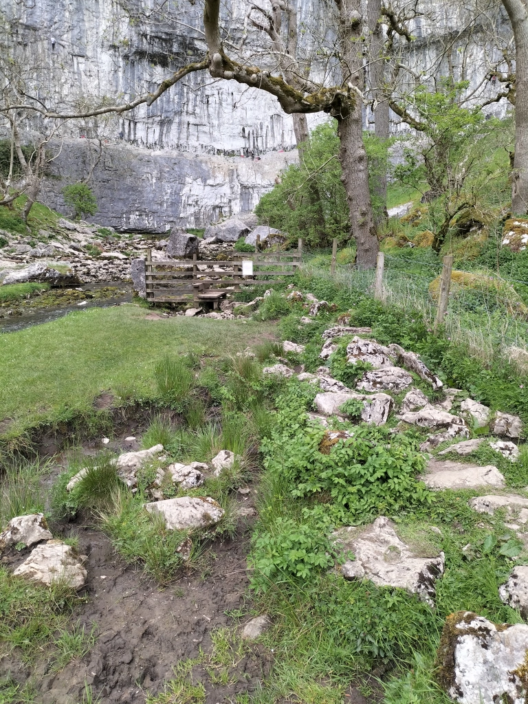
Remember me saying in the last post about our visit to Catrigg Force – a small but impressive waterfall just east of the village of Stainforth? And that the first time we found it we’d actually planned to call to see it as the first part of a massively, more strenuous, longer walk – a longer walk, planned by the photographer? One where we could take in the landscape from the Victoria Cave in Ribblesdale? And I said, more to come on that another time? Well, this is it. The above is the last (nearly last) part of the track up to the cave

Another of my photographs when I stopped to take a breath on the path (path?!!) on the way up to the cave. The photographer was already there. Give him his due, he did come back to help me to the top.

And here it it, the limestone Victoria Cave, located east of Langcliffe in Ribblesdale and discovered by chance in 1837, the year of Queen Victoria’s coronation.

Until then the cave was unknown. Tinsmith Michael Horner (1813-1878) struggled through a small hole between rocks,searching for his dog and found the cave. Inside tound bones, coins and various metal objects on the sediment floor. Later, on the 28th June 1838, Joseph Jackson, a keen amateur archaeologist, investigated further. The Victorians were fascinated by ‘bone caves’ where there might be a possibility of finding evidence for the earliest humans and extinct animals. Some animal bones were actually found here. It’s thought that hyenas used the cave as a den and dragged bones that had been scavenged into it, including hippos, narrow-nosed rhino, elephants and spotted hyenas bones. After the last Ice Age the cave was used by hibernating brown bears. In amongst the animal bones of reindeer was an 11,000 year old antler harpoon point, the first evidence for people in the Yorkshire Dales. Some items from the cave are held at the Craven Museum in Skipton.

The roof of the cave has become increasingly unstable over the years and roof falls are possible. We didn’t go in!

This is another one of my photos (yes I do know it’s less inspiring than the photographer’s). But I spotted this from up high, from outside the cave – and thought it was a large teddy bear, or the skeleton of a teddy bear!! Of course, when we got closer… it was just a pile of rocks. Note to self – contact optician

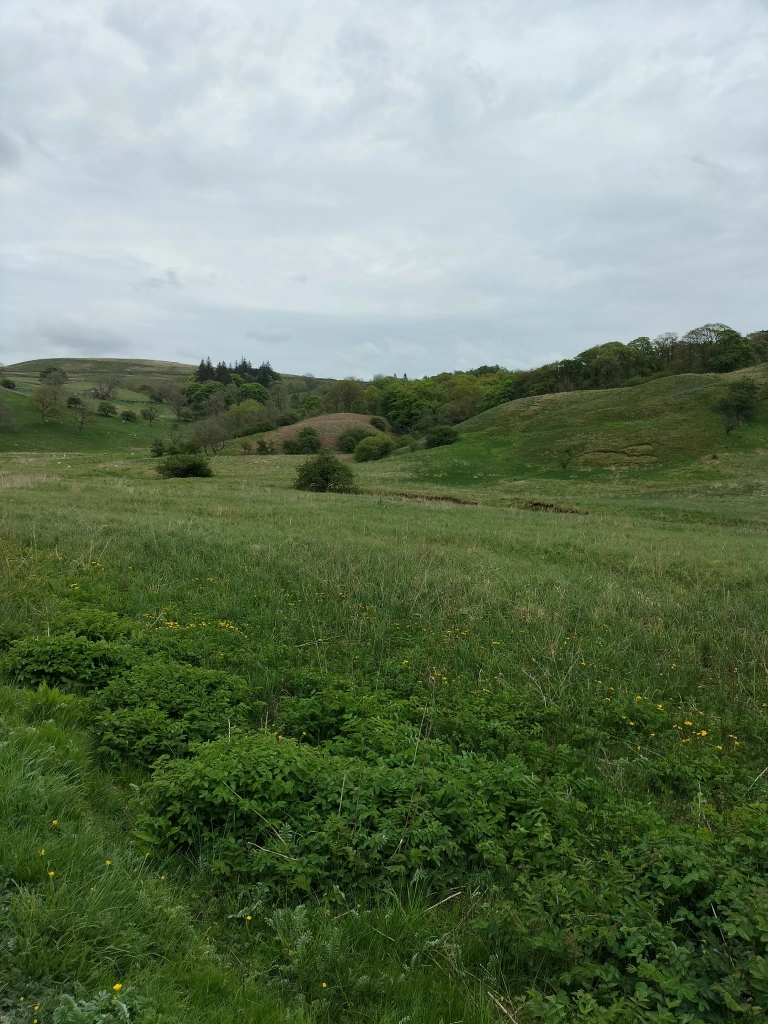
Just before we set off on the downward trail, and with an eye on the clouds bubbling up in the distance, a photograph of the next five miles we needed to go.

And it’s here I will reveal a moment of a basic and elementary photographer’s mistake.

” One last photo before the rain sets in,” he says, scanning the vista. “I didn’t realise it had become so dark so quickly.”

I waited, didn’t say a word while he huffed and puffed, and glared at the sky. For quite a while Then I stated the obvious. ” Your lens cap is still on.”

Good job he has a brilliant sense of humour!!

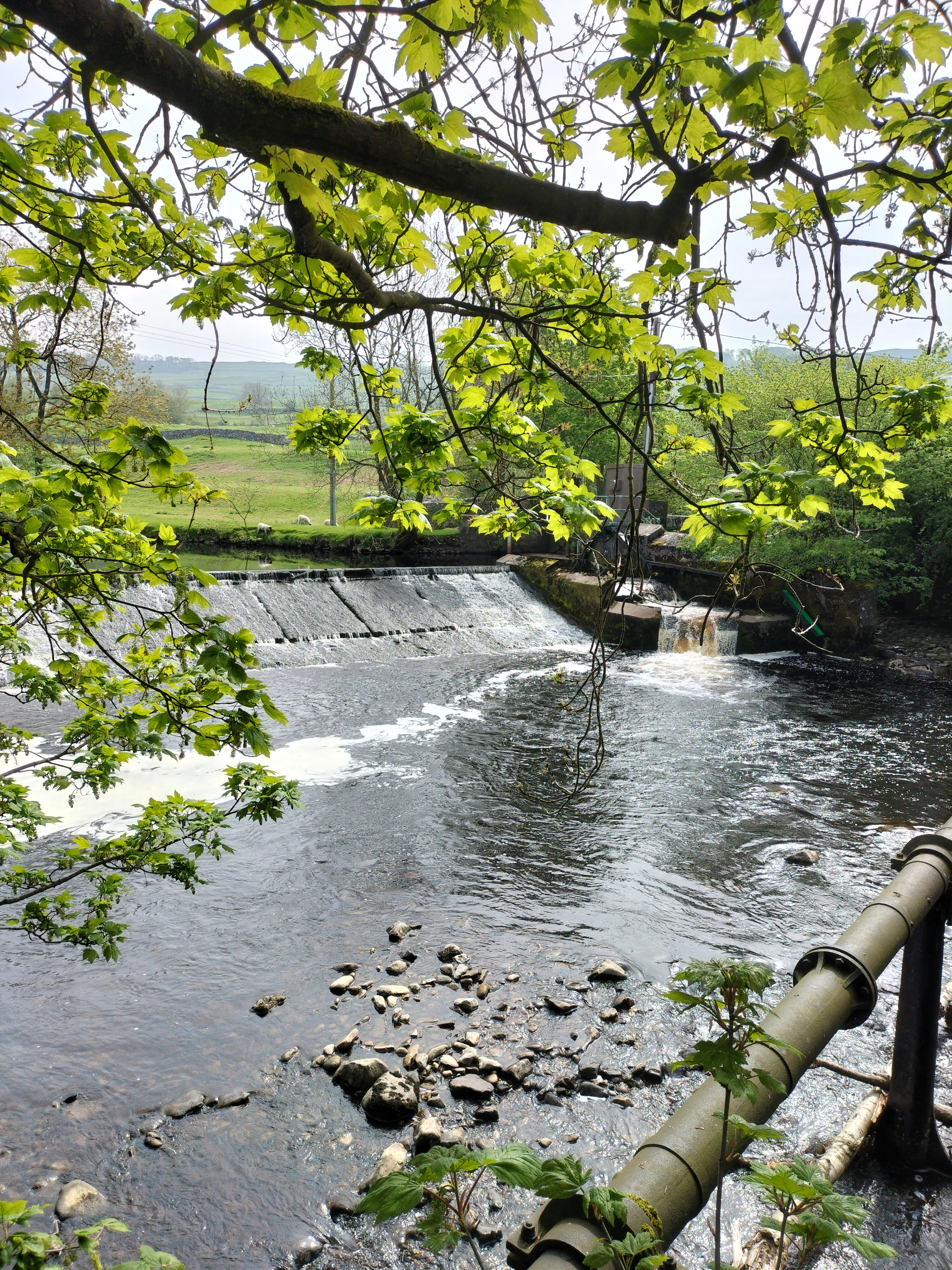
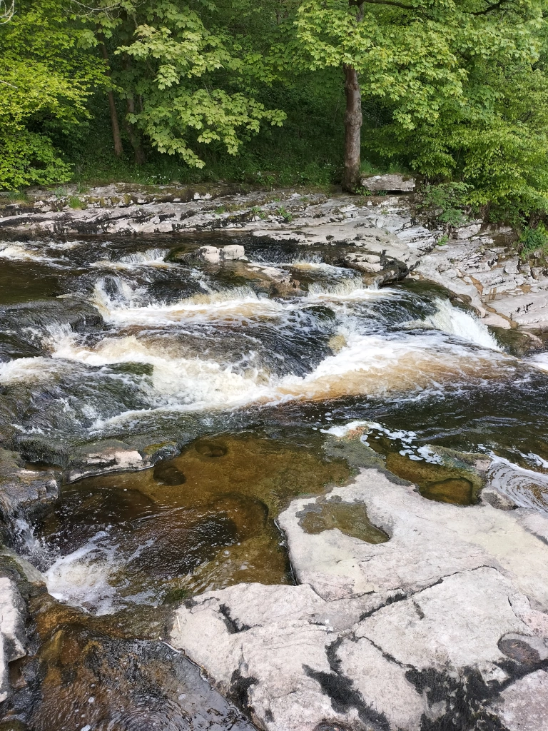
We followed the trail past the rugged terrain of the Warrendale Knotts before descending the hillside on the way back to Settle.

Where we had a well- earned cup of tea and a scone.

Where We Walked – @MalhamCove #Walks #Photographs @YorkshireDales @England #MondayBlogs

An evening stroll to see the vertical face of Malham Cove. It’s magnificent; standing at around seventy-nine metres of sheer rock, the top of the cove is a strange pattern of blocks of limestone. We could hear jackdaws, but knew it was too soon to see the pair of peregrine falcons or house martins that nest during the summer months. We did, however, see two mallard ducks strutting around the nearby stream, who eyed us for a minute or so before realising we had nothing for them, and strutted off.

Only one stile to clamber over … which made such a change (this is a hint of foreshadowing for the next walk… and the perils of a cavalier attitude towards stiles and the advancement of age!)

Formed along the line of the Middle Craven Fault, Malham Cove has been eroded back by the action of water and ice over millions of years. As glaciers moved forward they gauged rocks from the face of the Cove and carried them away. Then, each time the glaciers melted, the torrents of water also eroded the face of the Cove in the form of a massive waterfall.

The water flows underground now, then emerges as a shallow rocky stream.

There was no one else around… we thought … until we heard voices echoing eerily around the amphitheatre. Two men abseiling down the rock face (see them? Tiny figures perilously hanging from ropes?). I’m sure they knew what they were doing.. probably!

‘I’d like to do that,’ said the photographer.

‘No, you wouldn’t,’ I said. (Mind you, I have seen him hanging (also perilously) over the cliffs at home in Pembrokeshire just to get, “that brilliant shot” – so I know he’d be daft enough to have a go)

‘So … what’s tomorrow?’ I asked, as we plodded back over the stile and scrambled up a short rocky path to a field where a herd of cows watched with interest. And then followed us … closely (What is it with us and cows?)

‘I’ve found a good walk where there’s a gorgeous waterfall on the way.’

‘What do you mean, “On the way?”

He didn’t answer…

Where we Walked – #Walks #Photographs @Ribble Way @Stainforth Force @Yorkshire Dales #England #MondayBlogs


The start to our week of walking in the Yorkshire Dales and we began with an easy stroll along the banks of the river Ribble. The name ‘Ribble’ is thought to derive from the Breton word ‘Ribl’ meaning ‘riverbank’. The river begins in the Yorkshire Dales in Ribblesdale, at at a spot called Gavel Gap high on the moor above Newby Head. It’s a famous salmon river and in the Autumn it’s possible to watch salmon leaping up the various waterfalls along its course.

But we’re here in May, and it’s the time of bluebells and wild garlic.

Ribblesdale is the best known walking area in the National Park and features Yorkshire’s famous Three Peaks – Whernside, Ingleborough and Pen-y-Ghent (more about the last on my next post) – offering challenging walks and amazing views. This short walk is the easiest section of the Ribble Way.

The weir at Longcliffe.

We passed the remains of old cotton and snuff mills, industries long gone now but the houses that were the homes for many of the labourers still stand, strong buildings many built of the local grit stone.

Nearby is the town of Settle where the hydro harnesses the river to create clean, green electricity.

Photograph courtesy of settlehydro.org.uk/

The Hydro is powered by water from the Ribble immediately above the weir, through a sluice gate, down what is called the Archimedes Screw (the turbine) and back into the Ribble just after the base of the weir. Electricity is generated by the falling water rotating the turbine which, in turn, drives a generator. The electricity is fed by a direct line to the old mill building which is now apartments. Any electricity not needed by the apartments is fed into the National Grid.

It was a lovely easy trail, the weather was good, a perfect stroll through the fields and on the Settle bridleway.

And perfect for the photographer to capture two of his favourite subjects… Water and reflections.

Our main aim for this walk was to see Stainforth Force, the two metre high cascade waterfall where the salmon leap in the Autumn.

The photographer was in his element.