
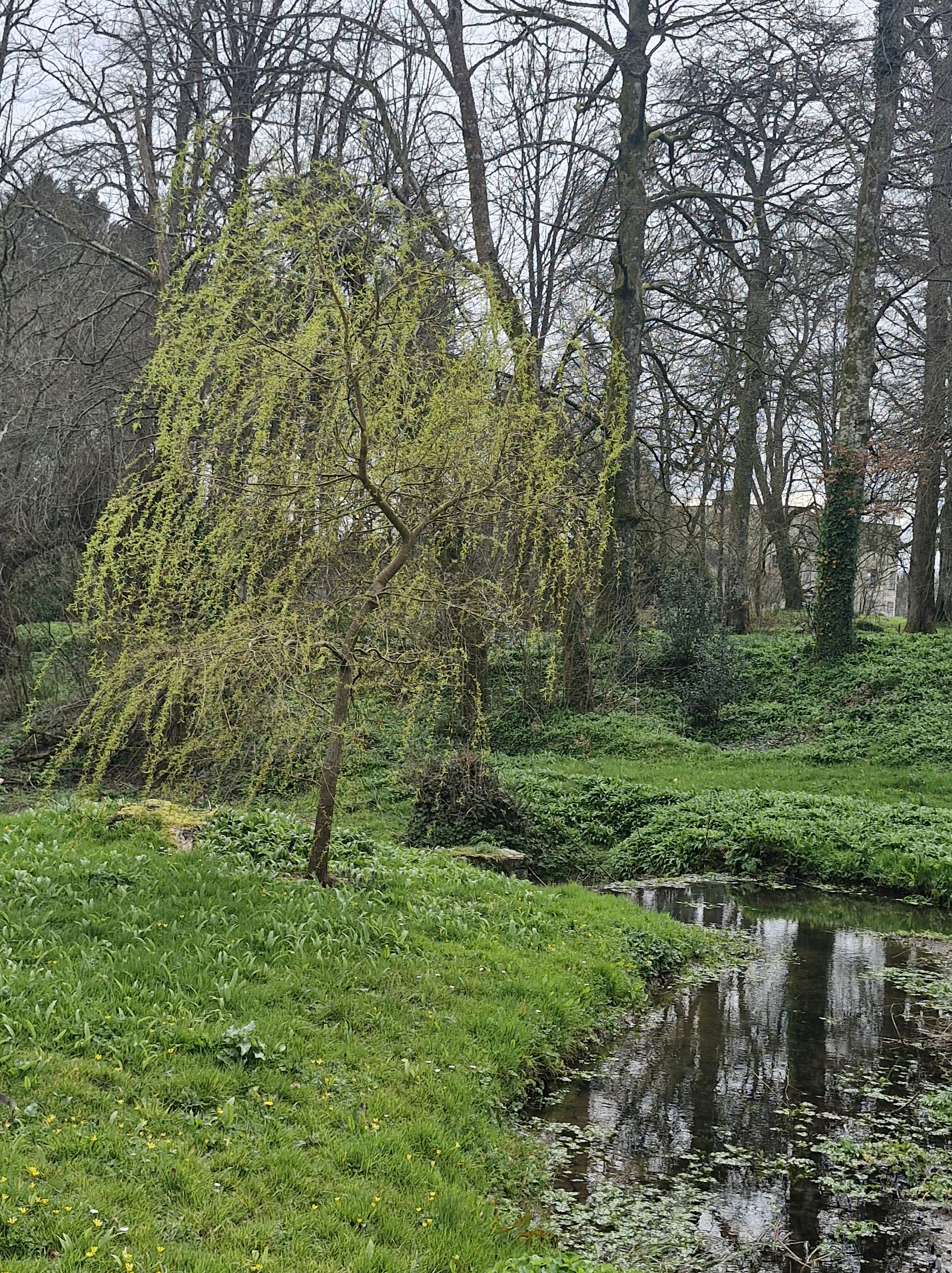
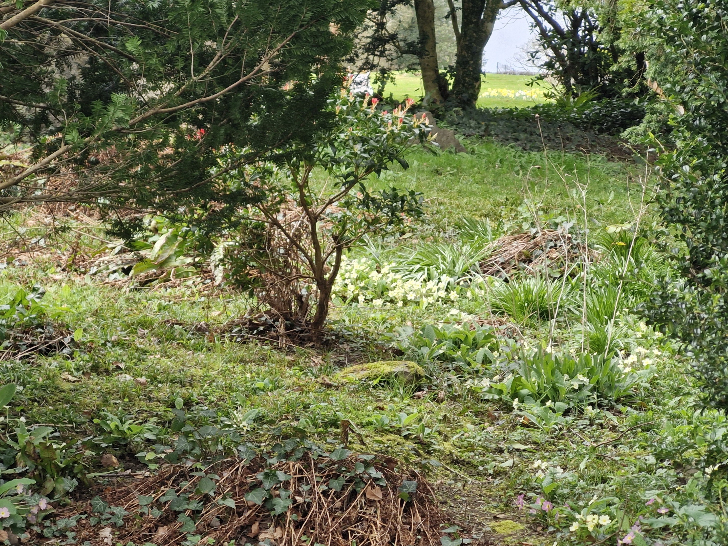
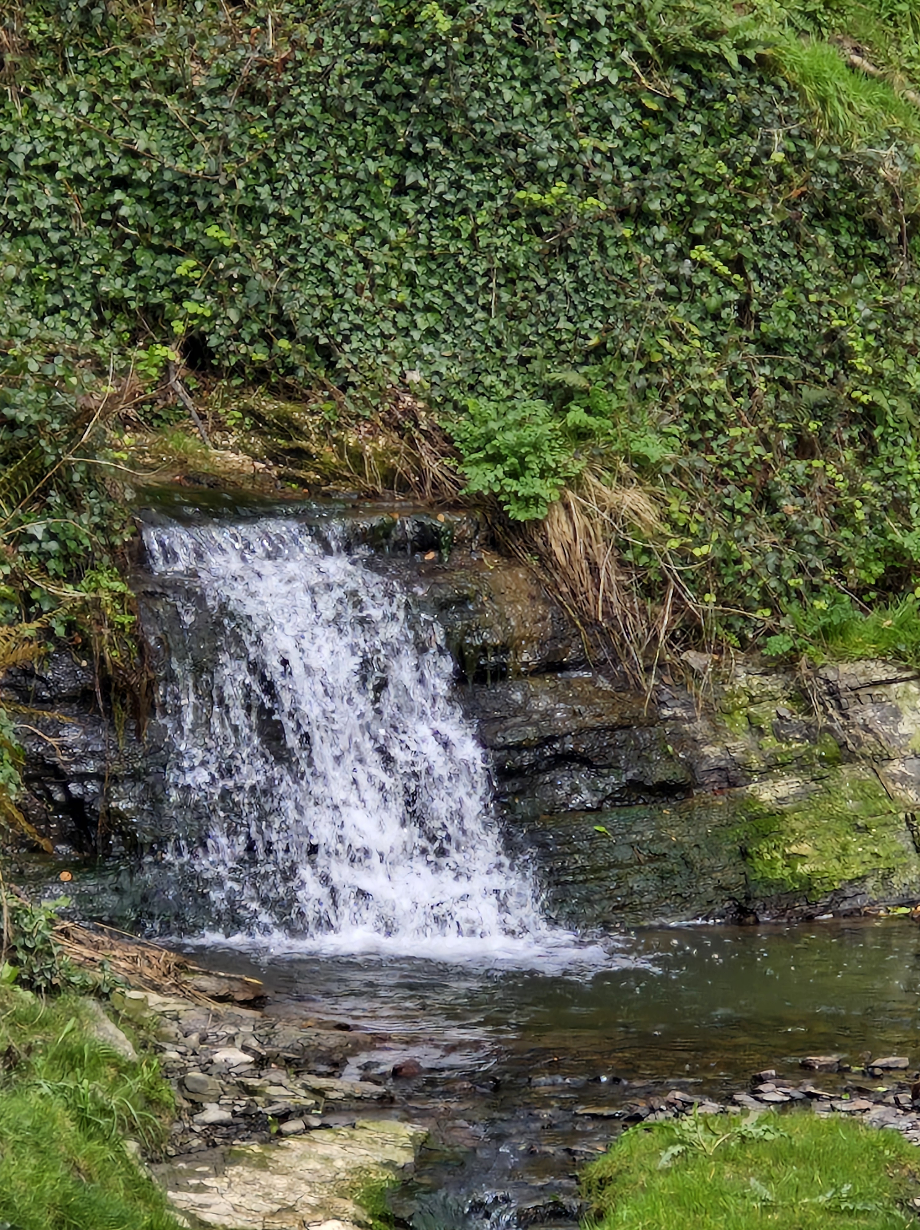
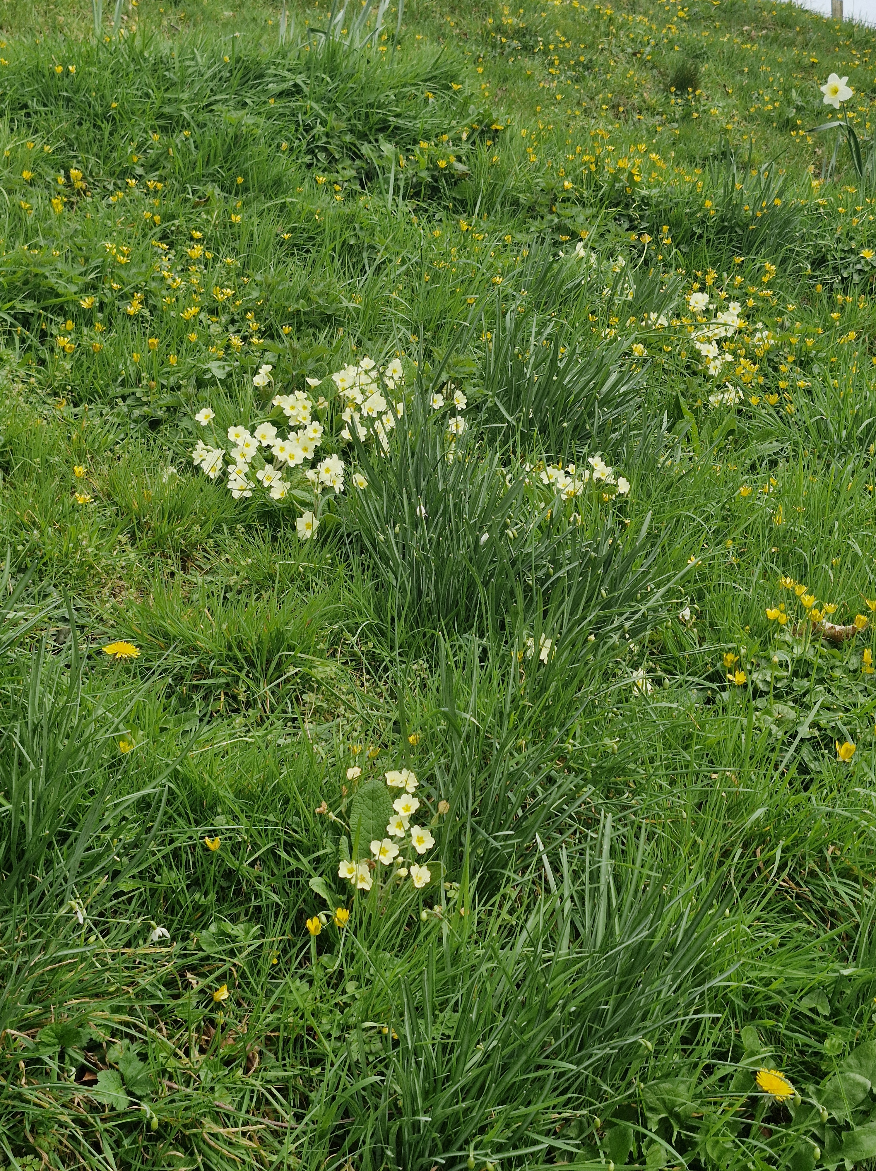
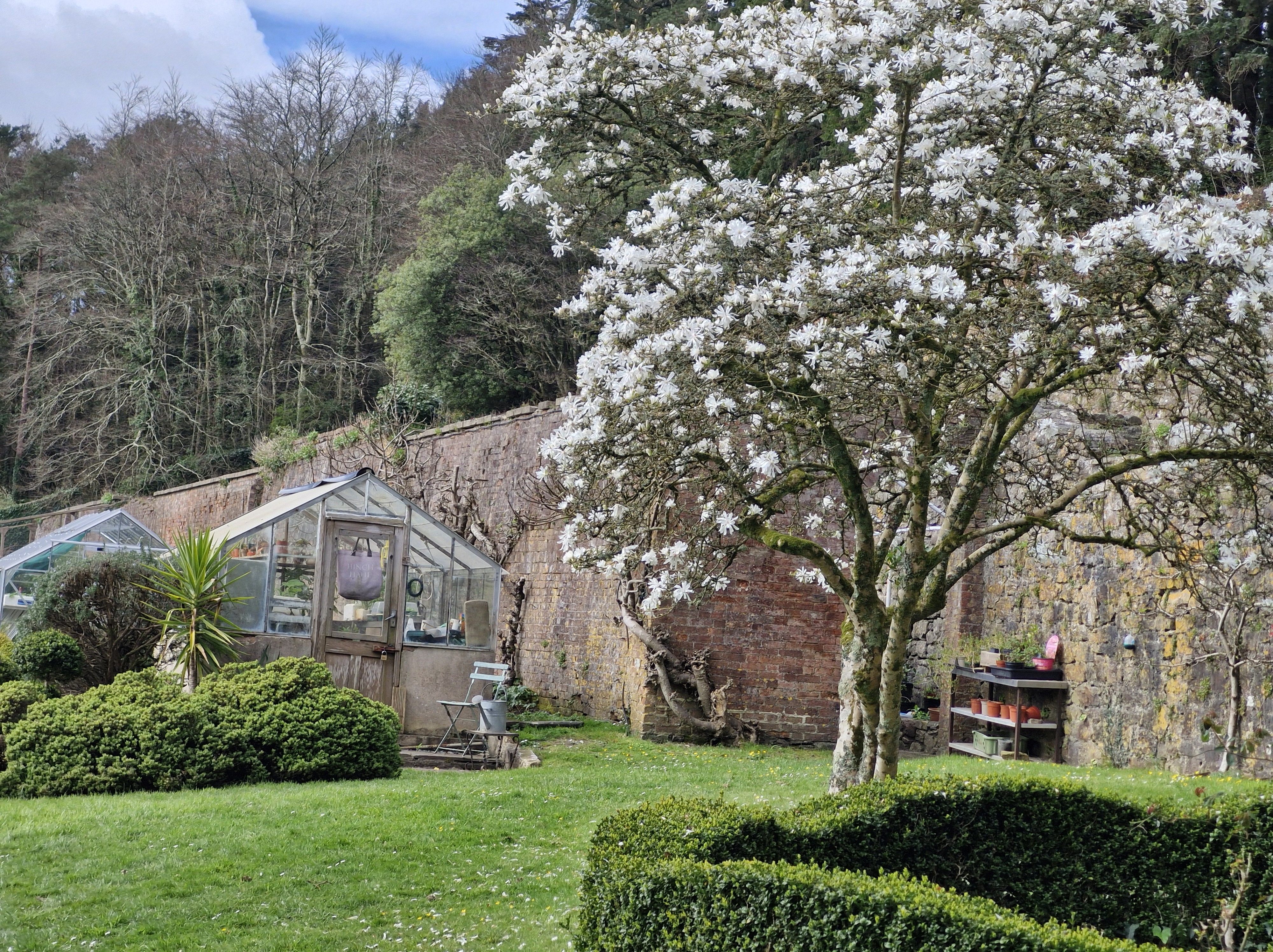
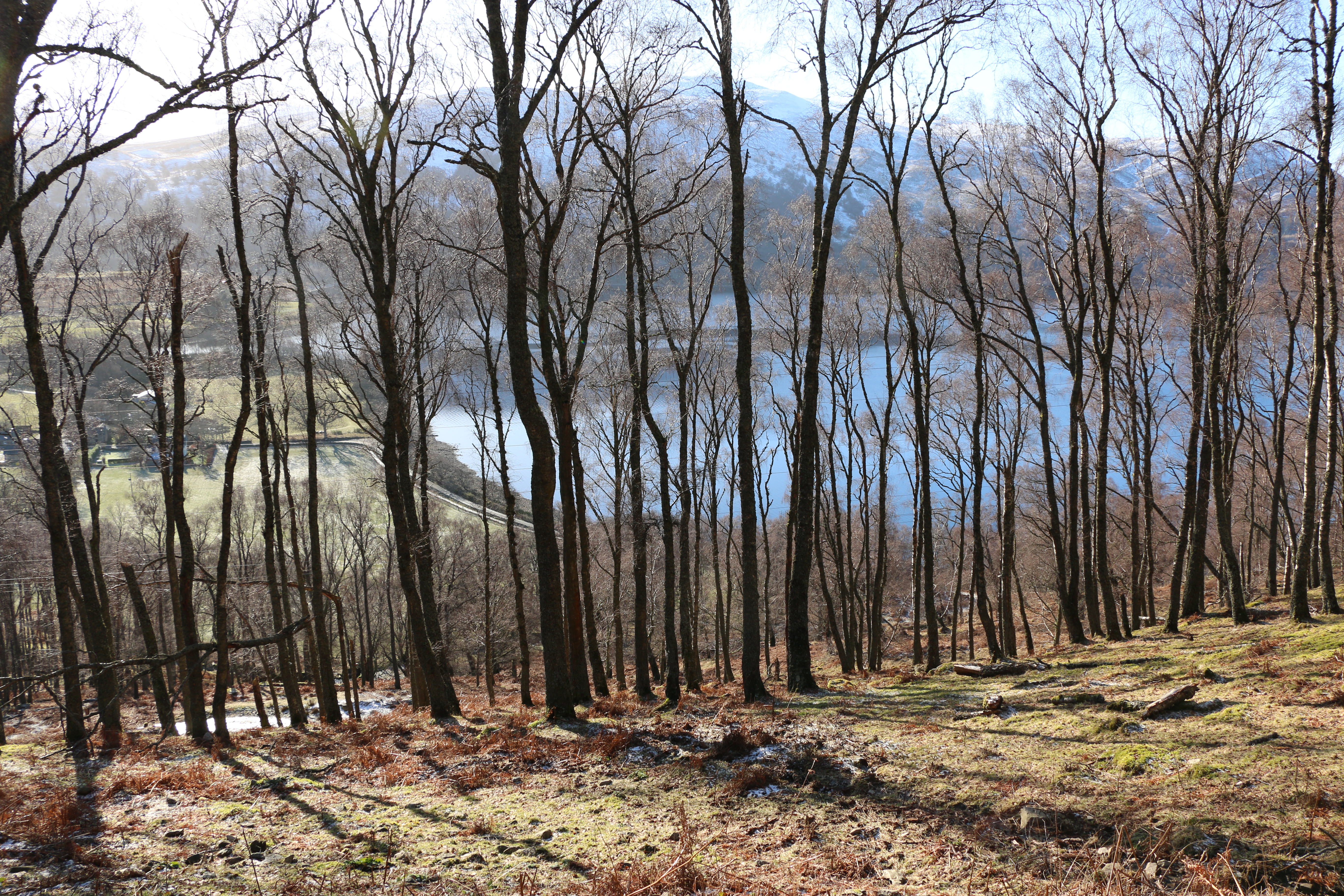
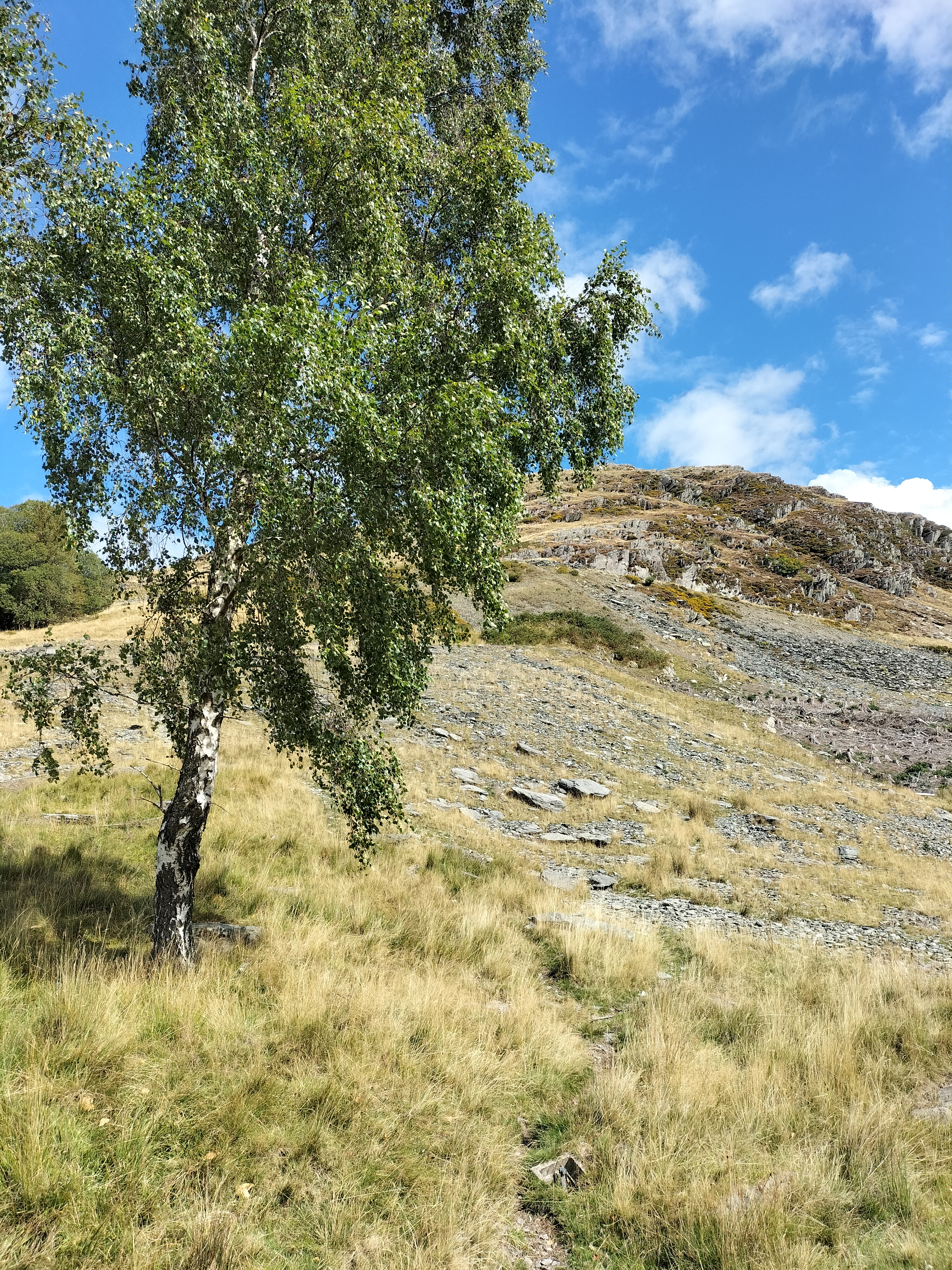
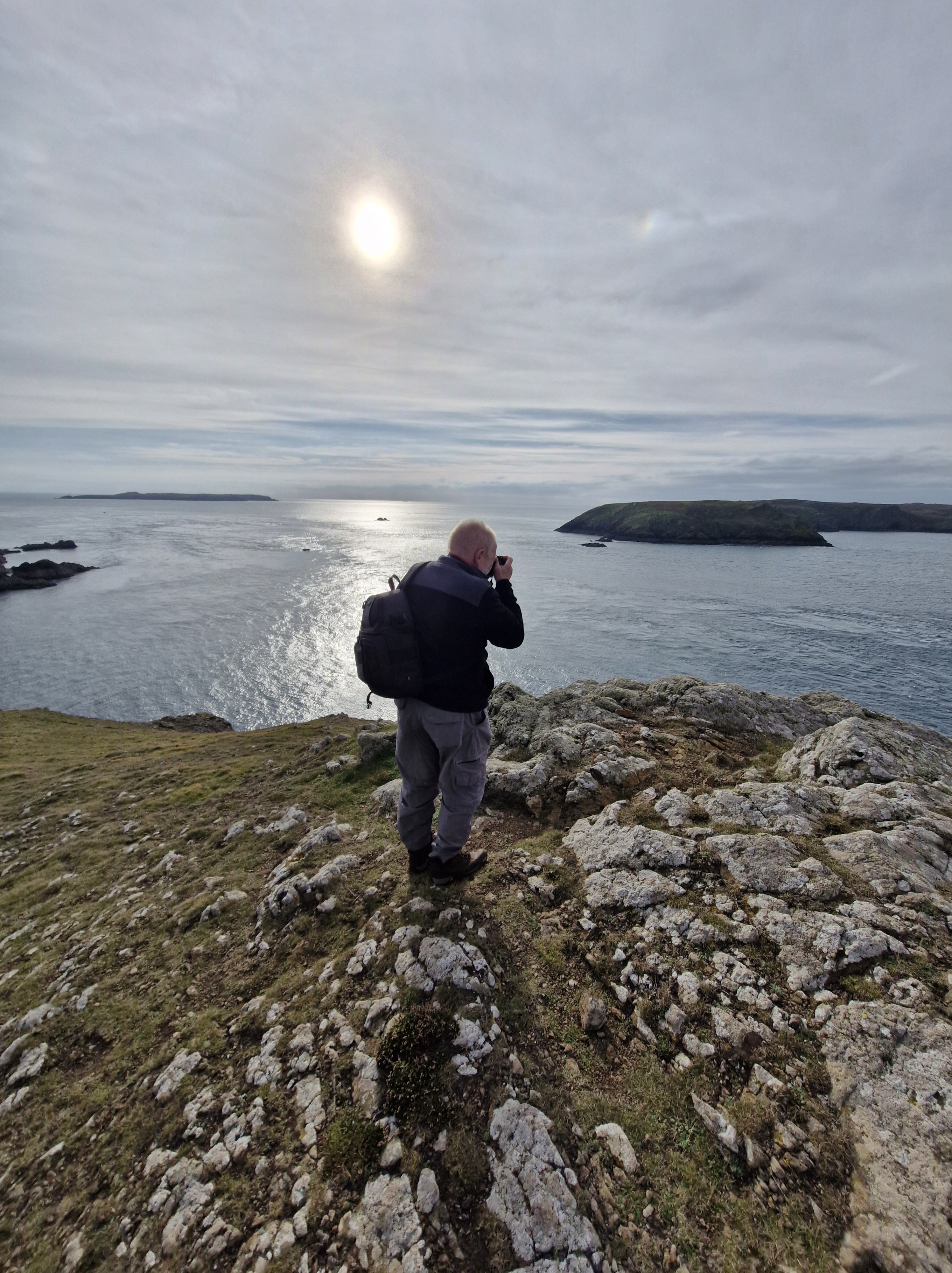
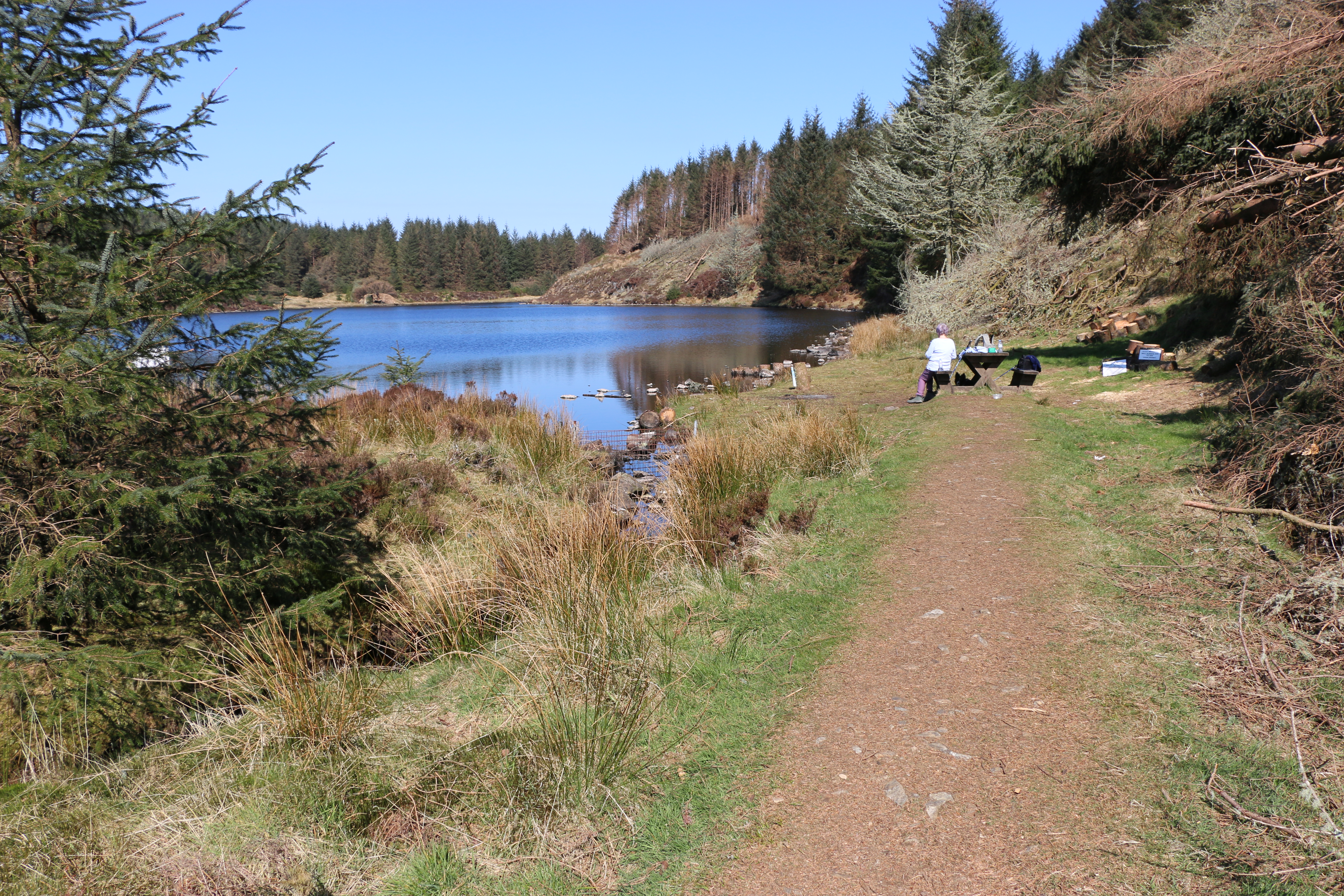
This morning, with the weather fine, though a little chilly, we wrap up and take another of our favourite walks. As usual, Slebech Park Country Estate doesn’t fail to provide great views, some glorious wild flowers, and impressively maintained grounds.
Over the years we’ve visited the park many times, in all weathers, at all times of the year. Maybe Spring is our favourite season here – or maybe summer – or autumn – or even winter, when even the bleakness of the days can’t detract from the scenery.
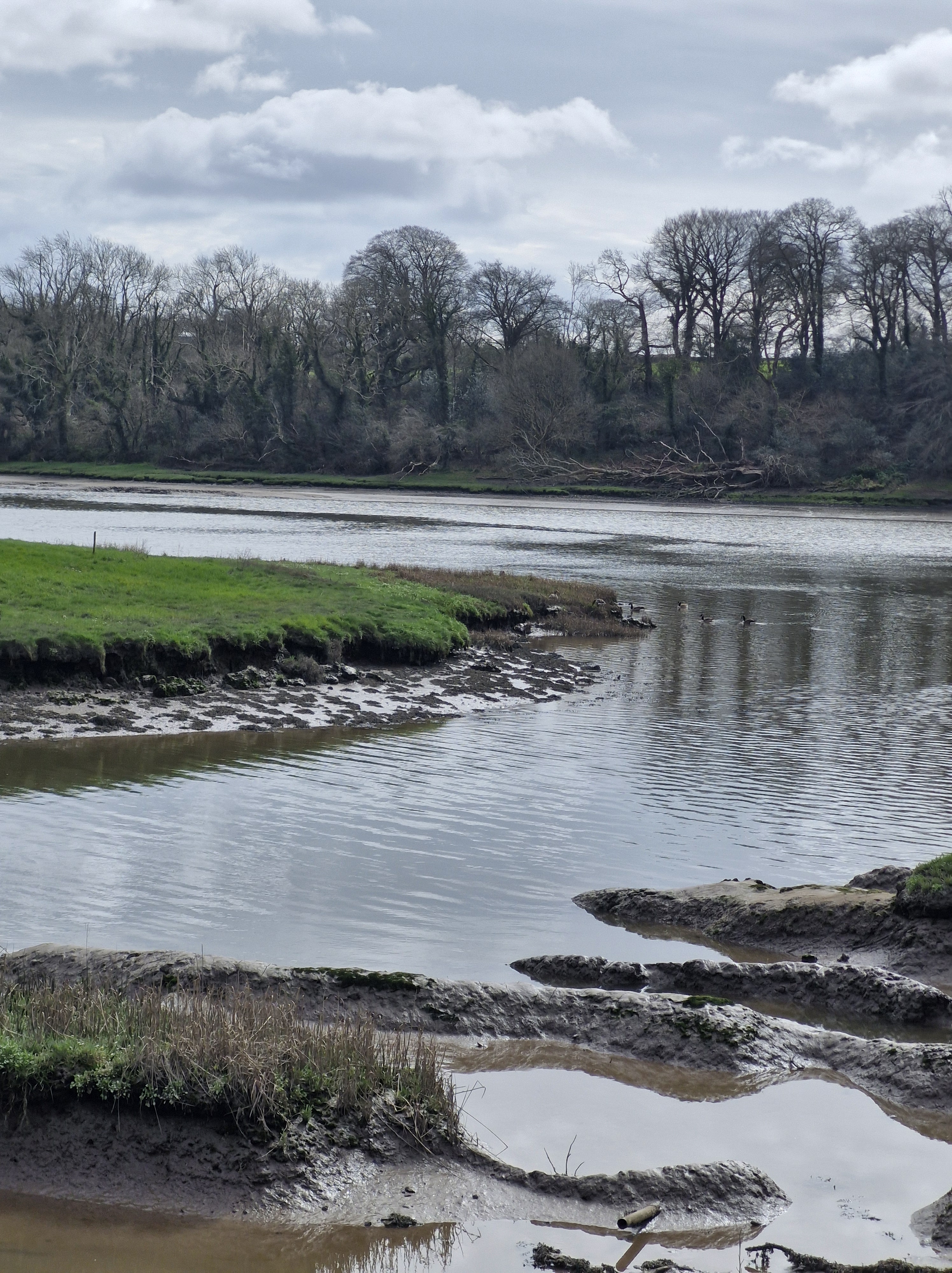
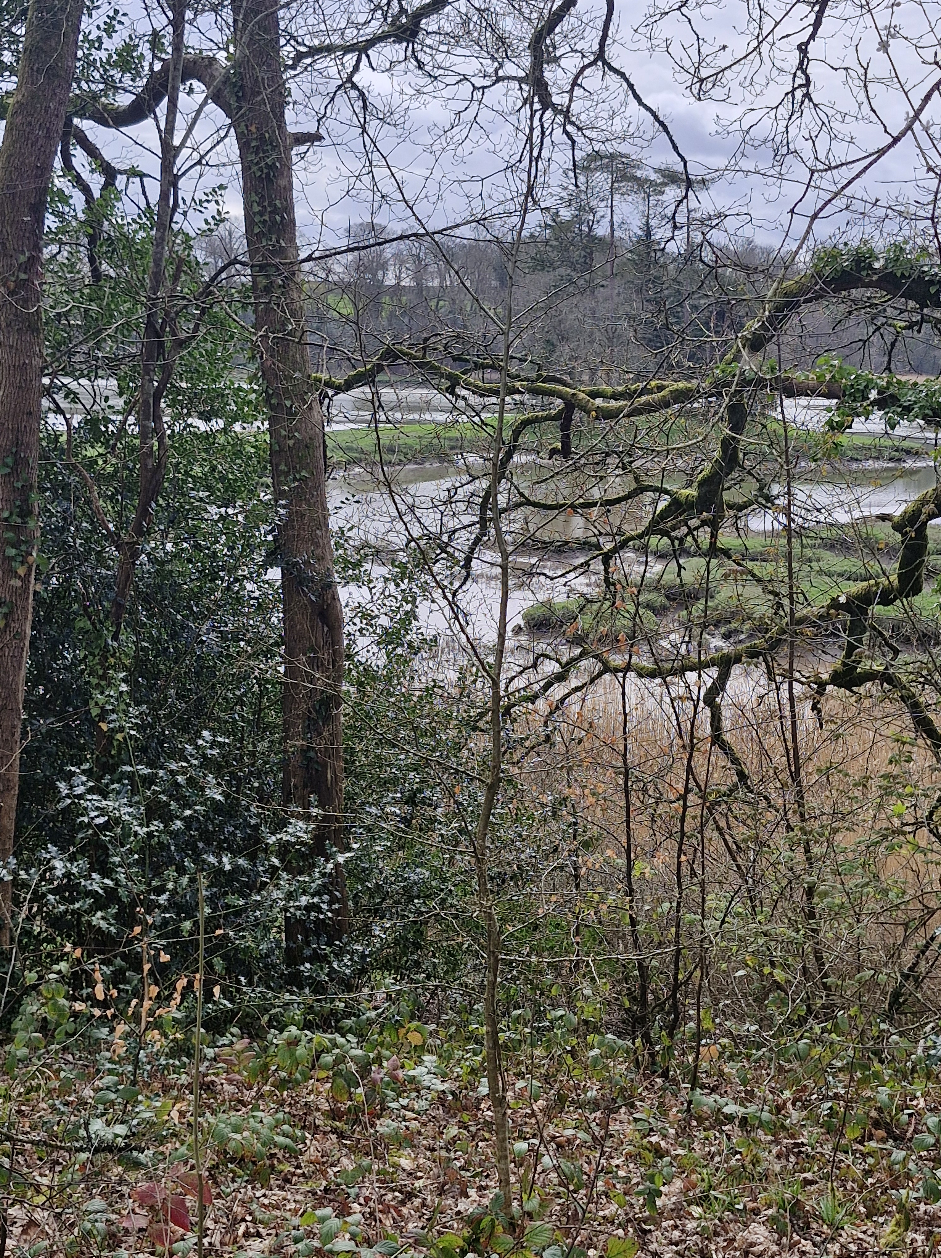
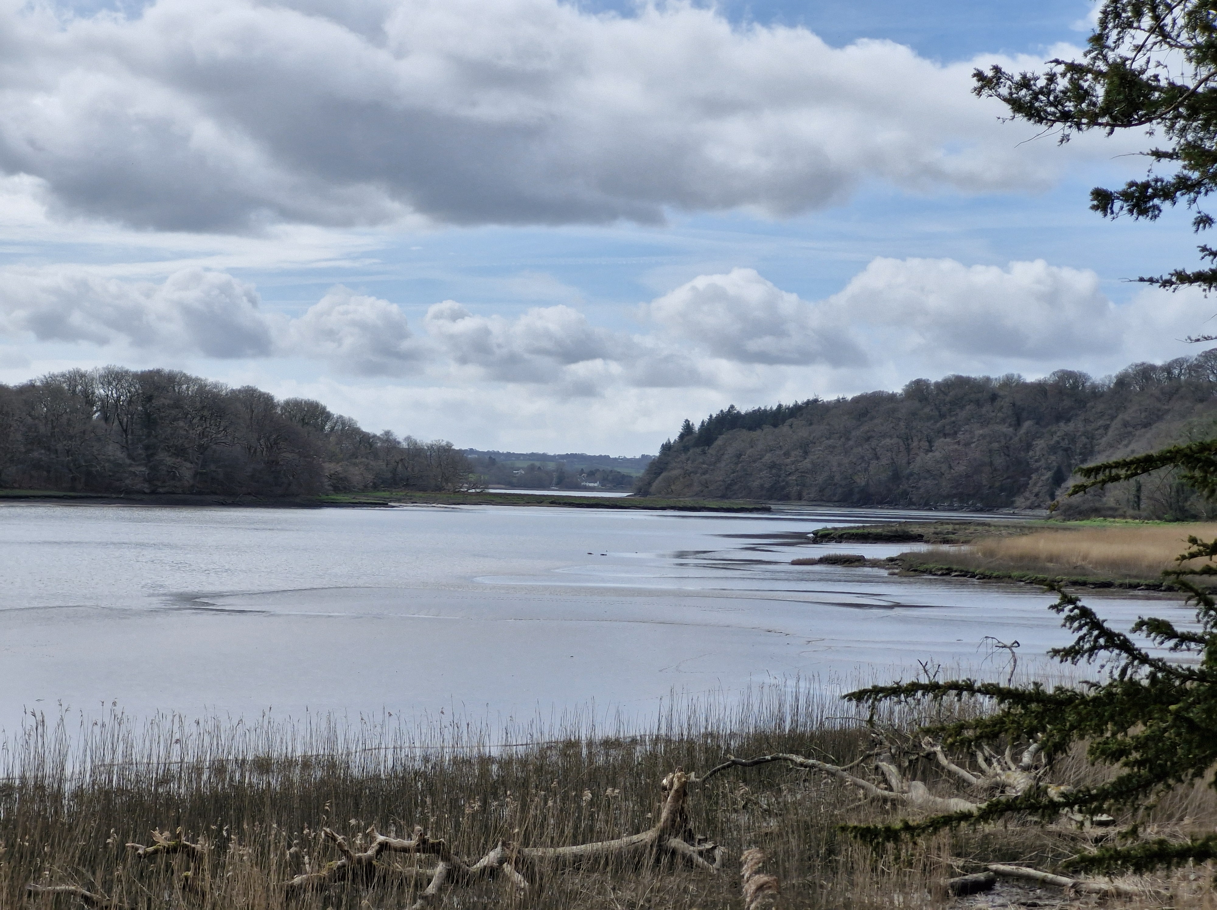
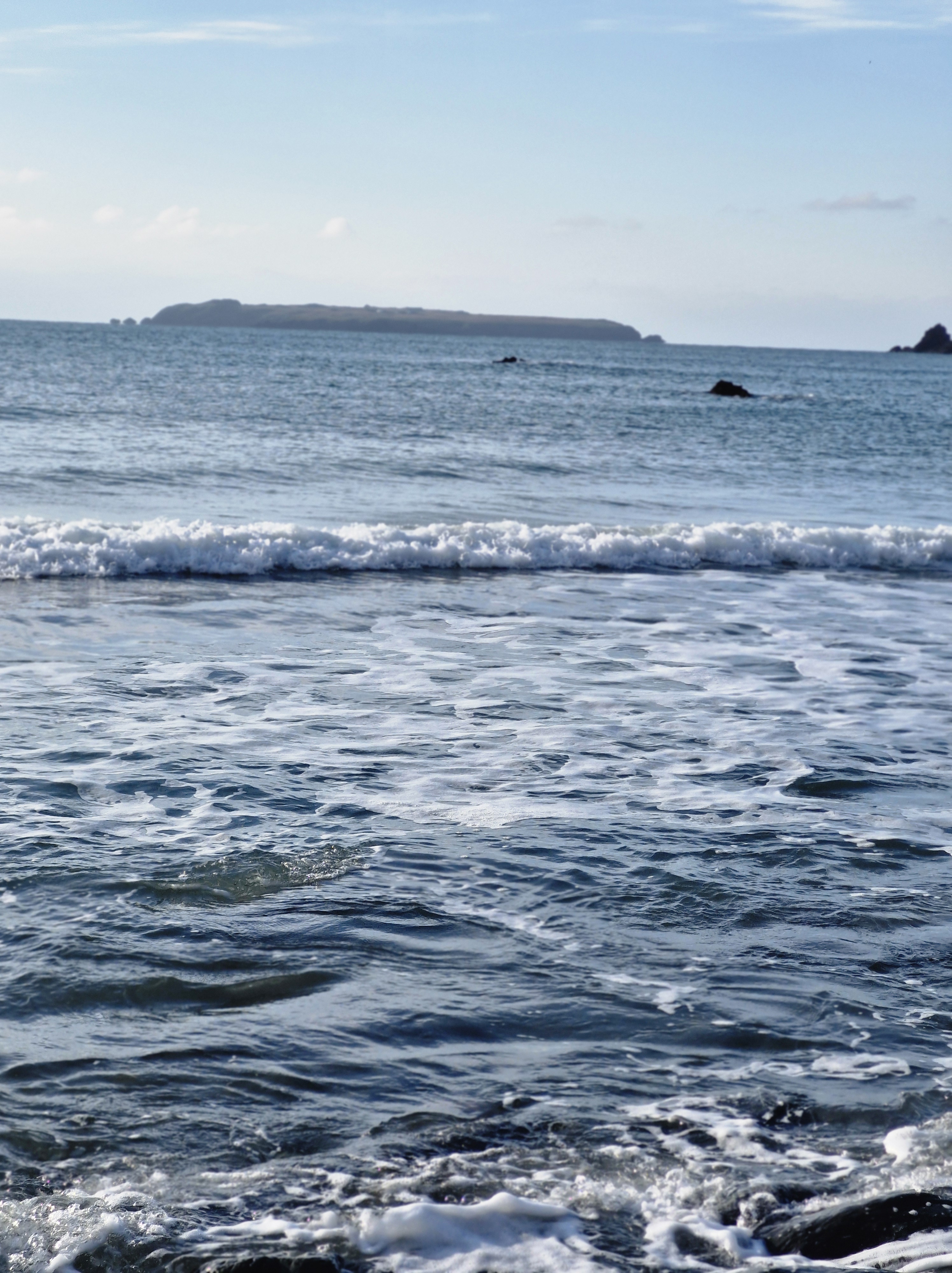
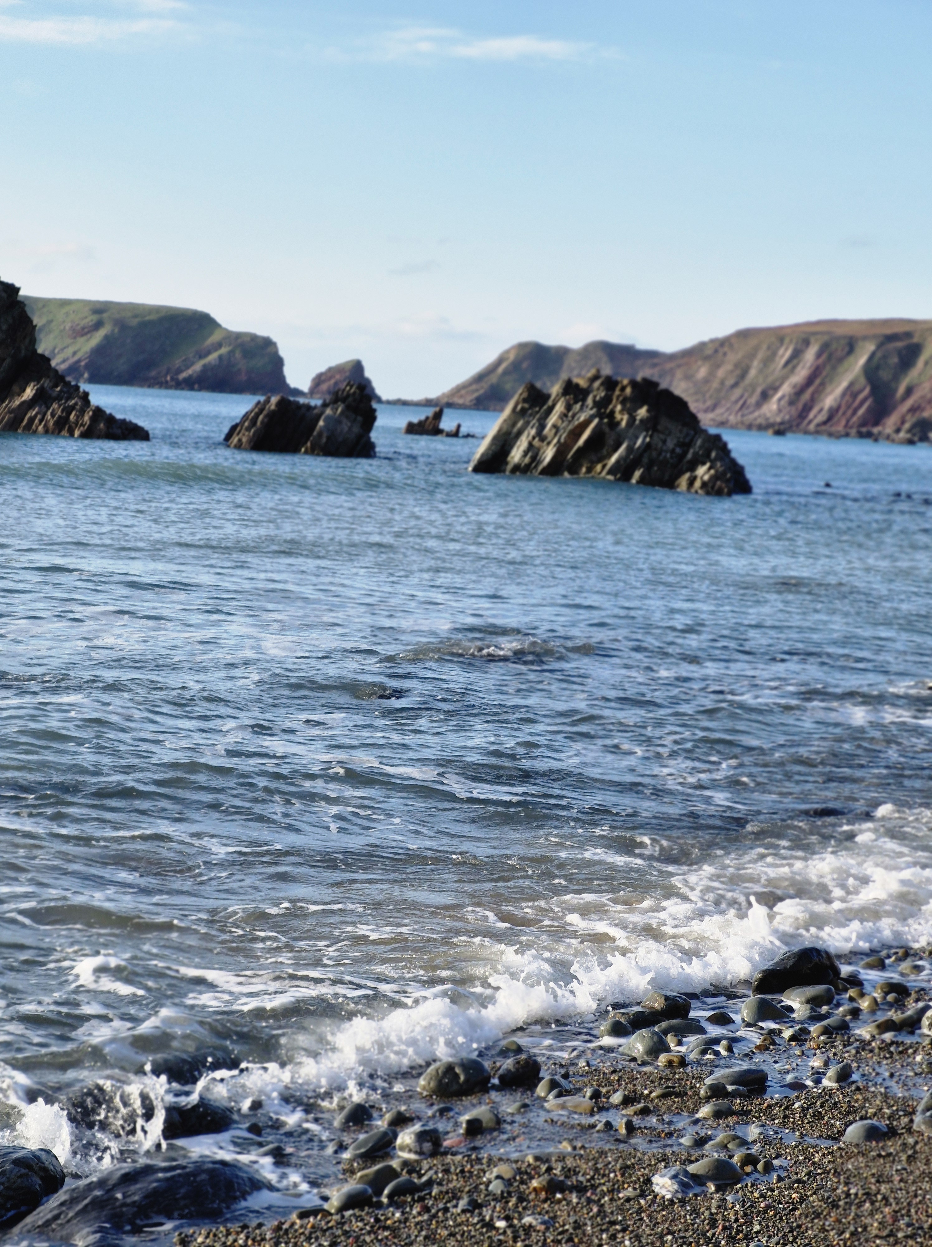
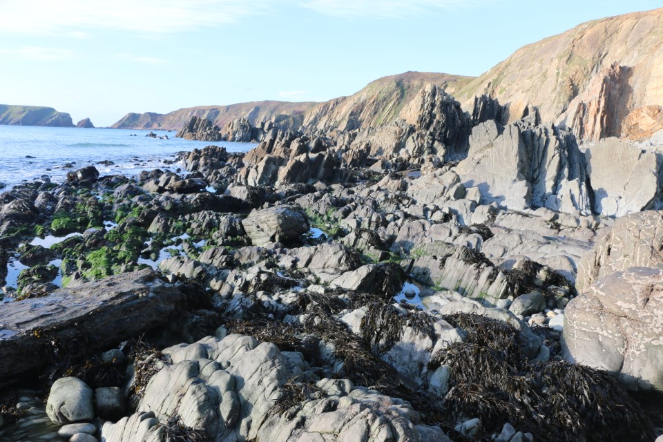
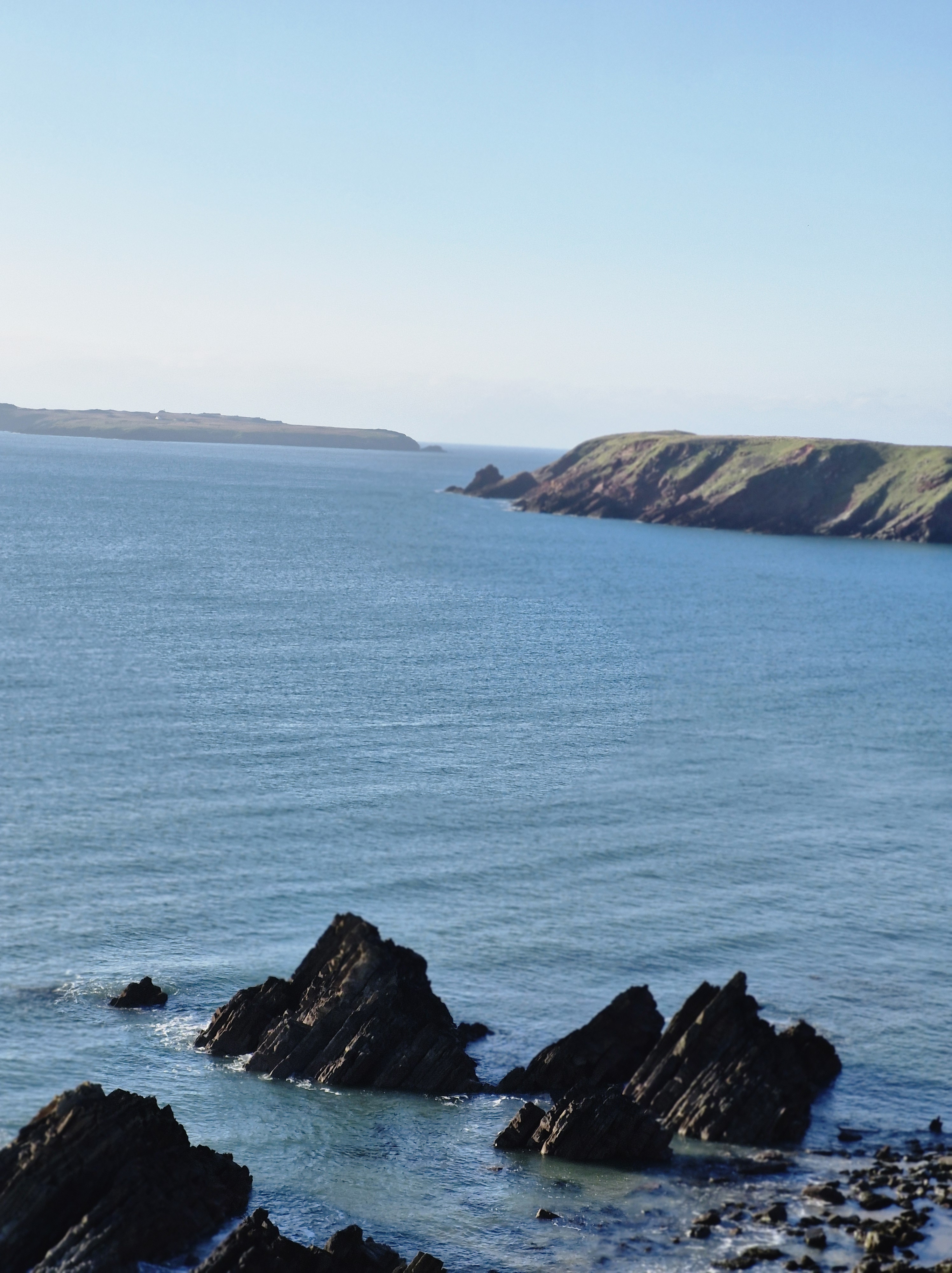
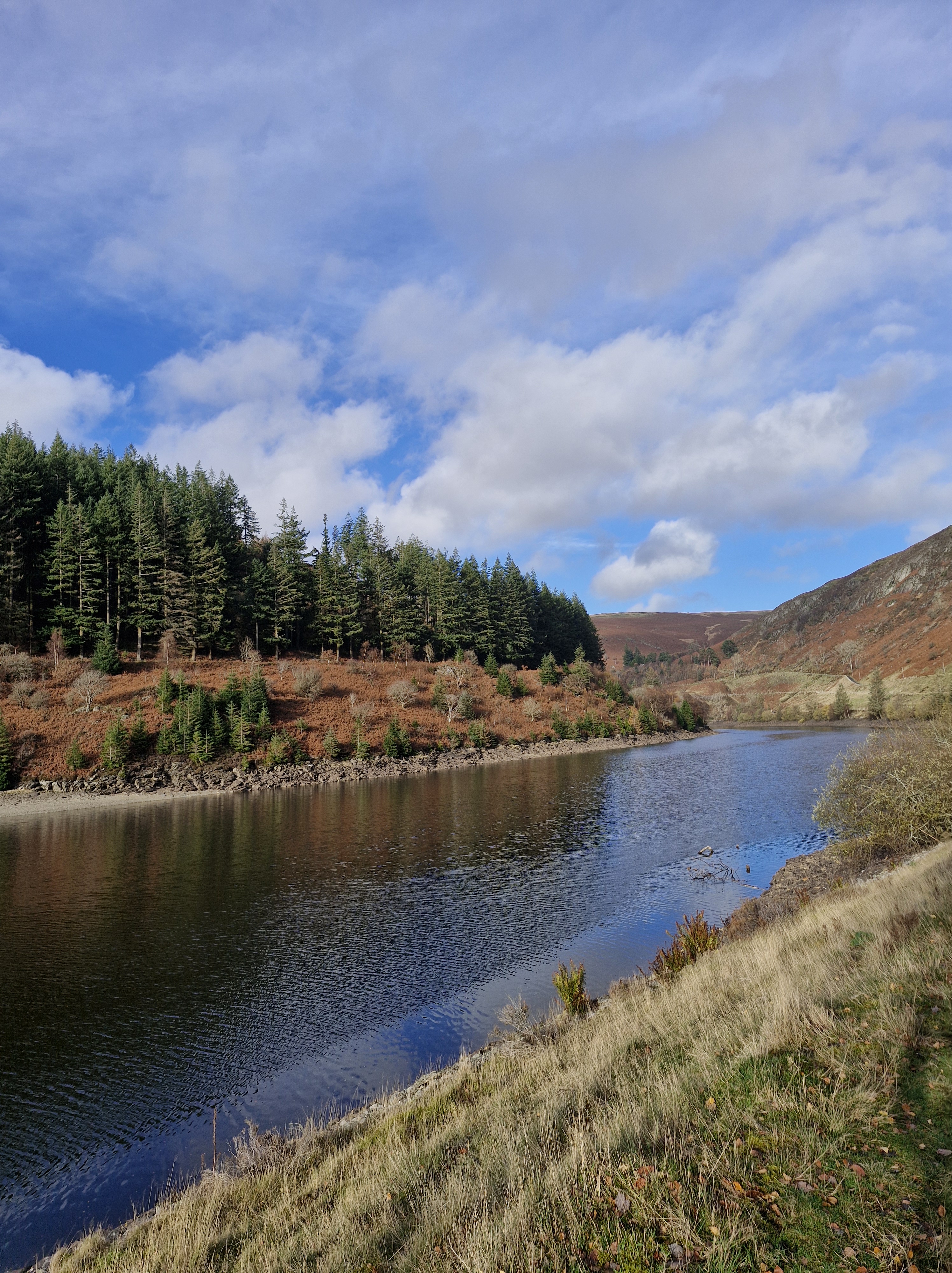
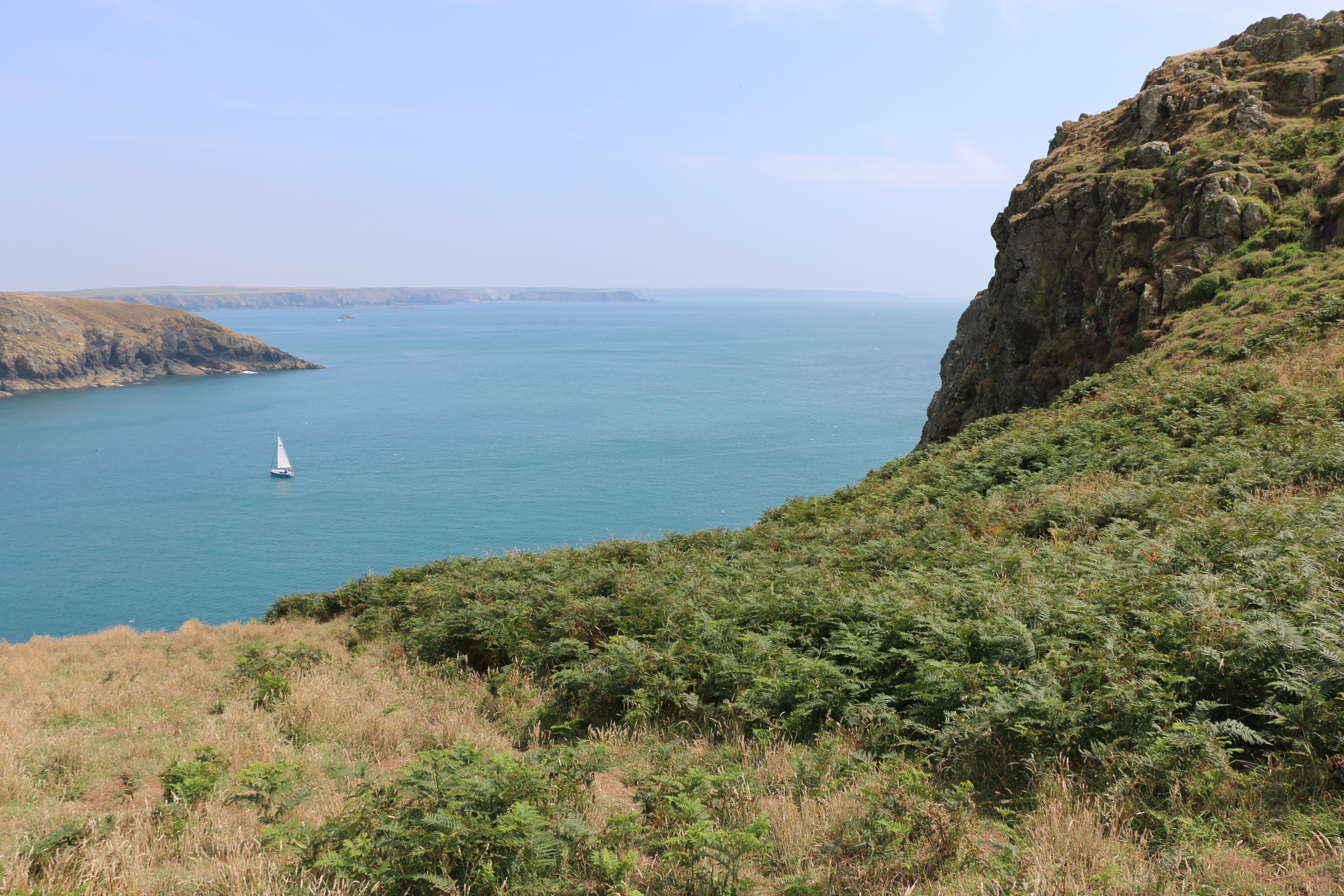
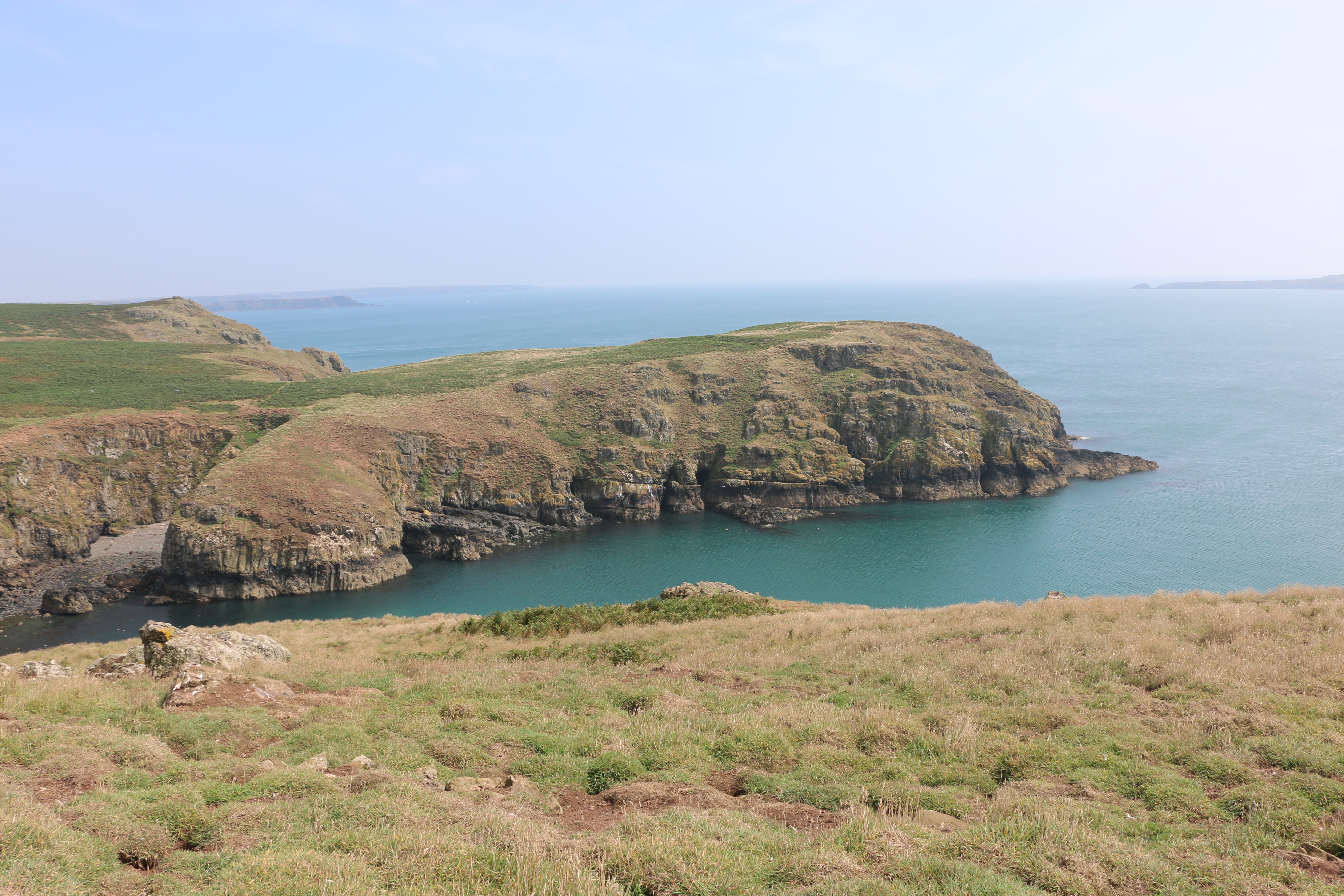
We’ve walked the trail from Canaston Bridge, always looking forward to our first glimpse of the Cleddau. Sometimes, as a tidal river, the water is low, the mud flats glistening in the sun, sometimes it’s high, lapping quietly against the banks, and with ducks and seagulls floating on the surface alongside one another.
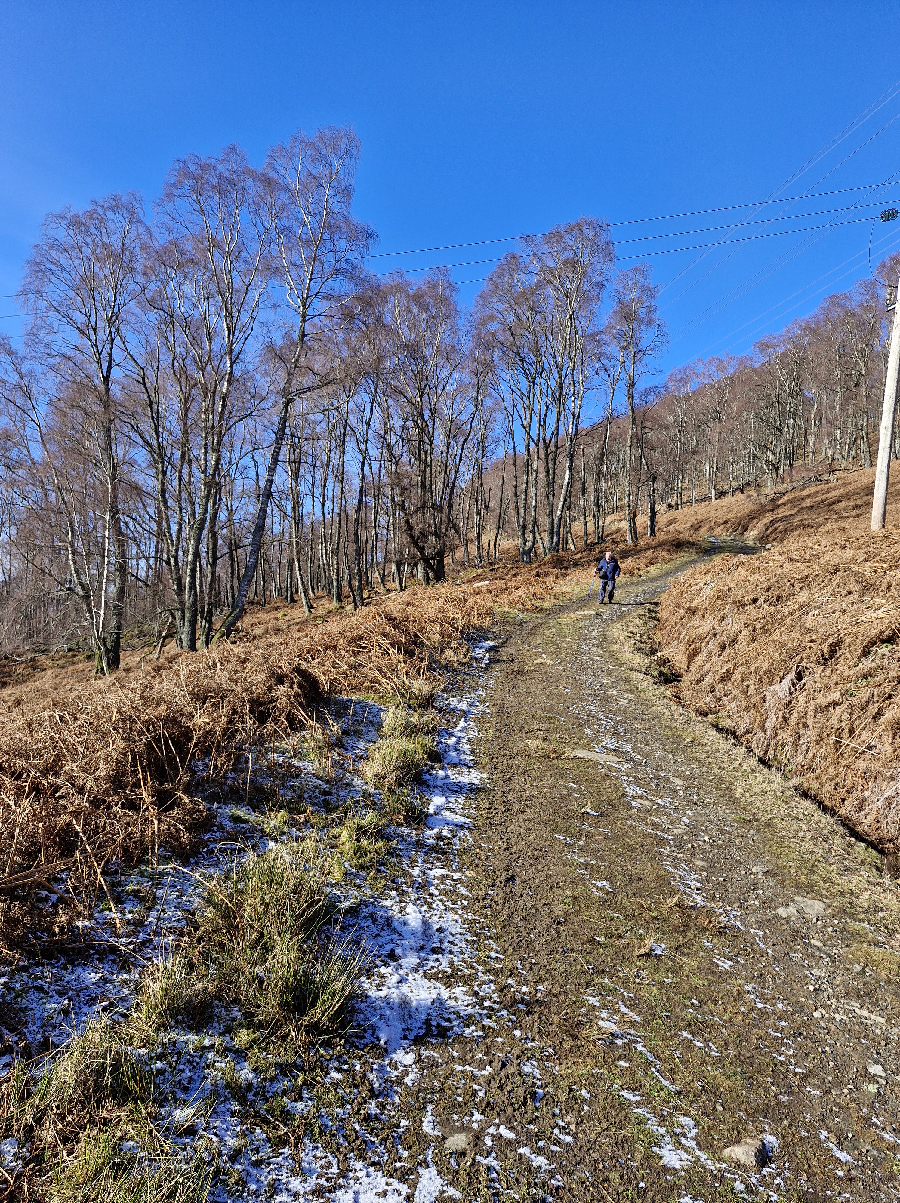
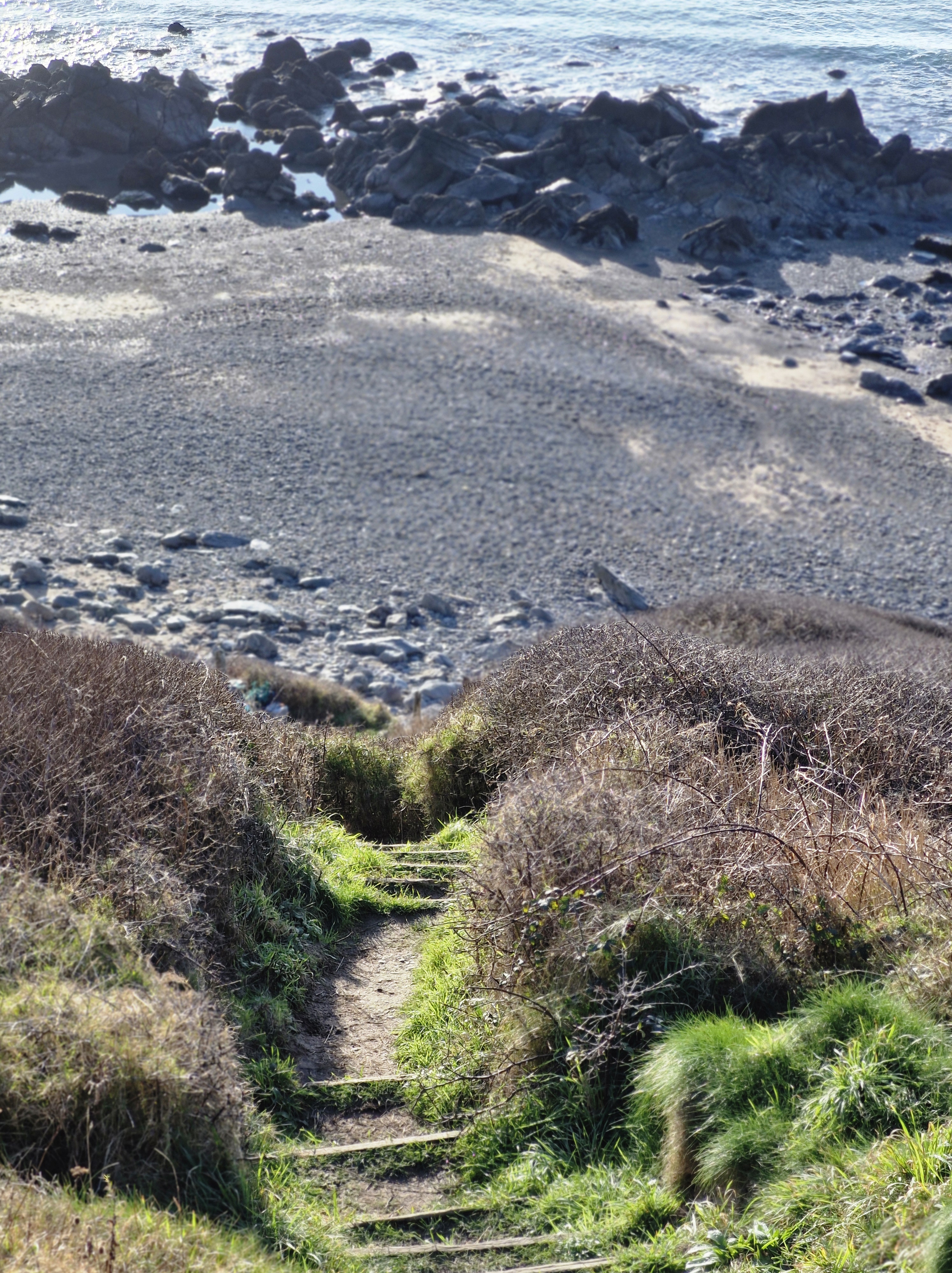
Today, though, is different. Not wanting to walk along the usual, longer path from Canaston Bridge, we park in a layby alongside the busy road to Haverfordwest, climb stiles, walk along a rough track – muddy from recent rain – and alongside the estate farm.
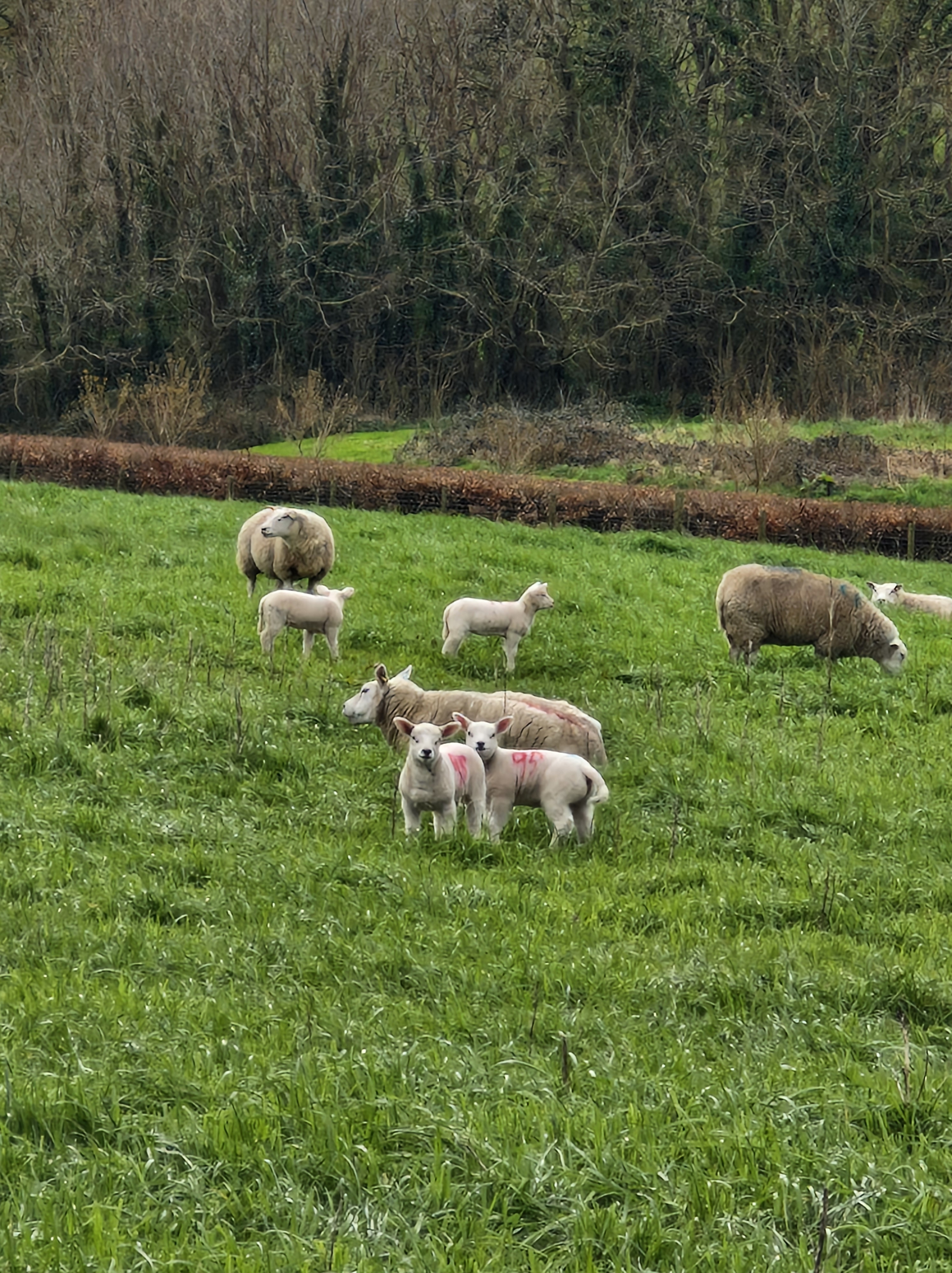
And say hello to the lambs, in the nearby field, who fix their eyes on us until we are safely past them.
This morning the tide is in.
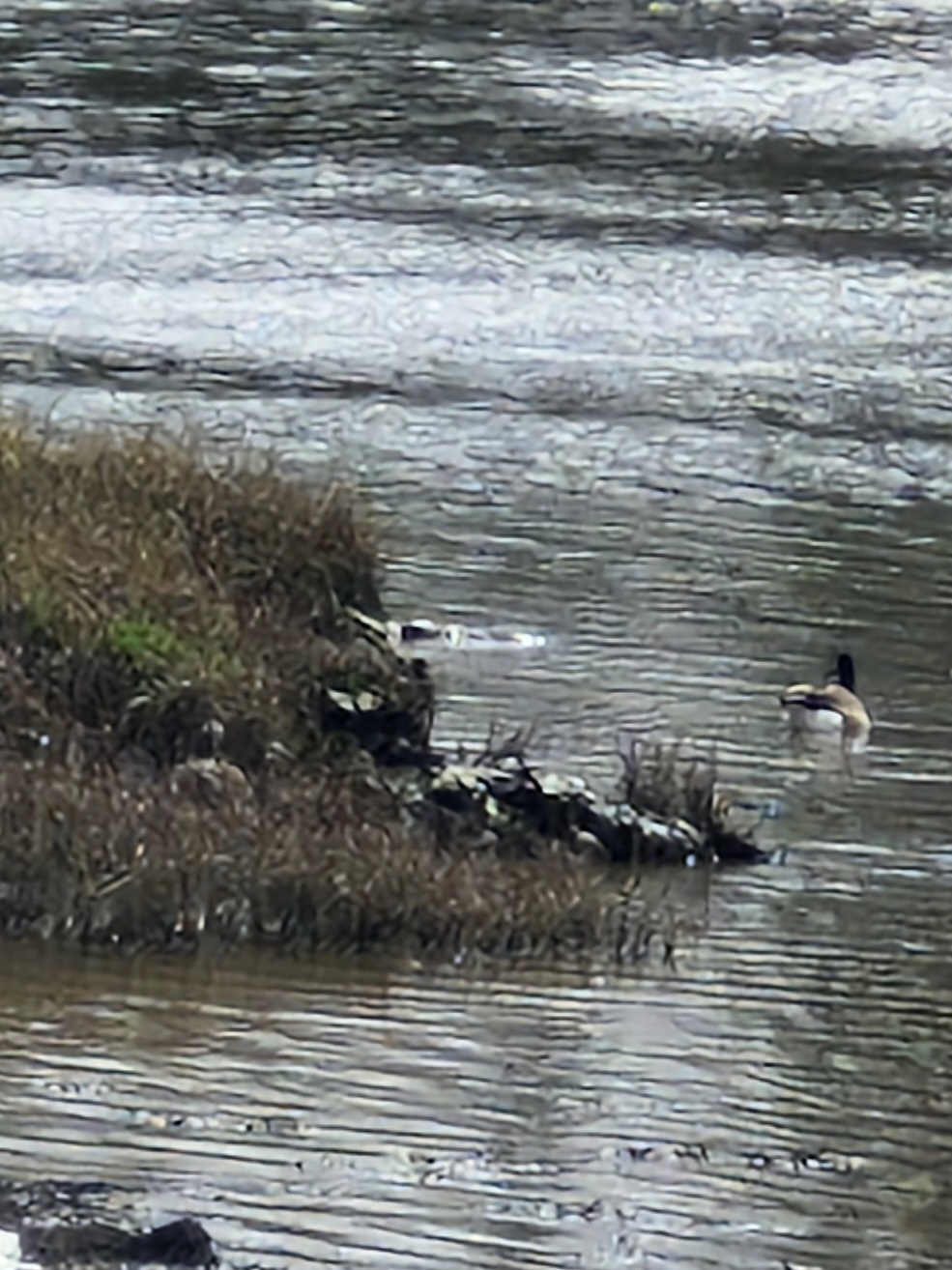
But the ducks are quite elusive. Except for one!
We saunter around the park, conscious that we are actually carrying out a recce for a stroll for members of our local U3a: somewhere fairly flat, easy walking … and no stiles!!
With moments when we are able to stop – to admire – to just be! …
Time for lunch! We walk back to the car, having established that a stroll around the estate will be enjoyed by all.
The history of Slebech Park:
The origin of the word Slebech is thought by some to be derived from a Viking term meaning “Stoney Beach.” It is likely that Vikings sailed inland to Slebech on raiding parties and, upon seeing its commanding position on the river and small harbor, viewed it as a place of refuge. Slebech has long held a significant place in the history of Wales. From the 6th century onwards, it served as a major meeting point for pilgrims traveling to St. David’s Cathedral. Over the centuries, it has been visited by notable figures including William the Conqueror, Henry II, Edward I, and Queen Eleanor.
The estate’s history is intertwined with social stratifications of the time, as it hosted lands divided for the rich and poor. A “Beggars’ Field” is believed to have existed, though its location remains undiscovered. In recognition of its importance, Pope Calixtus decreed that two visits to St. David’s equaled one pilgrimage to Rome.
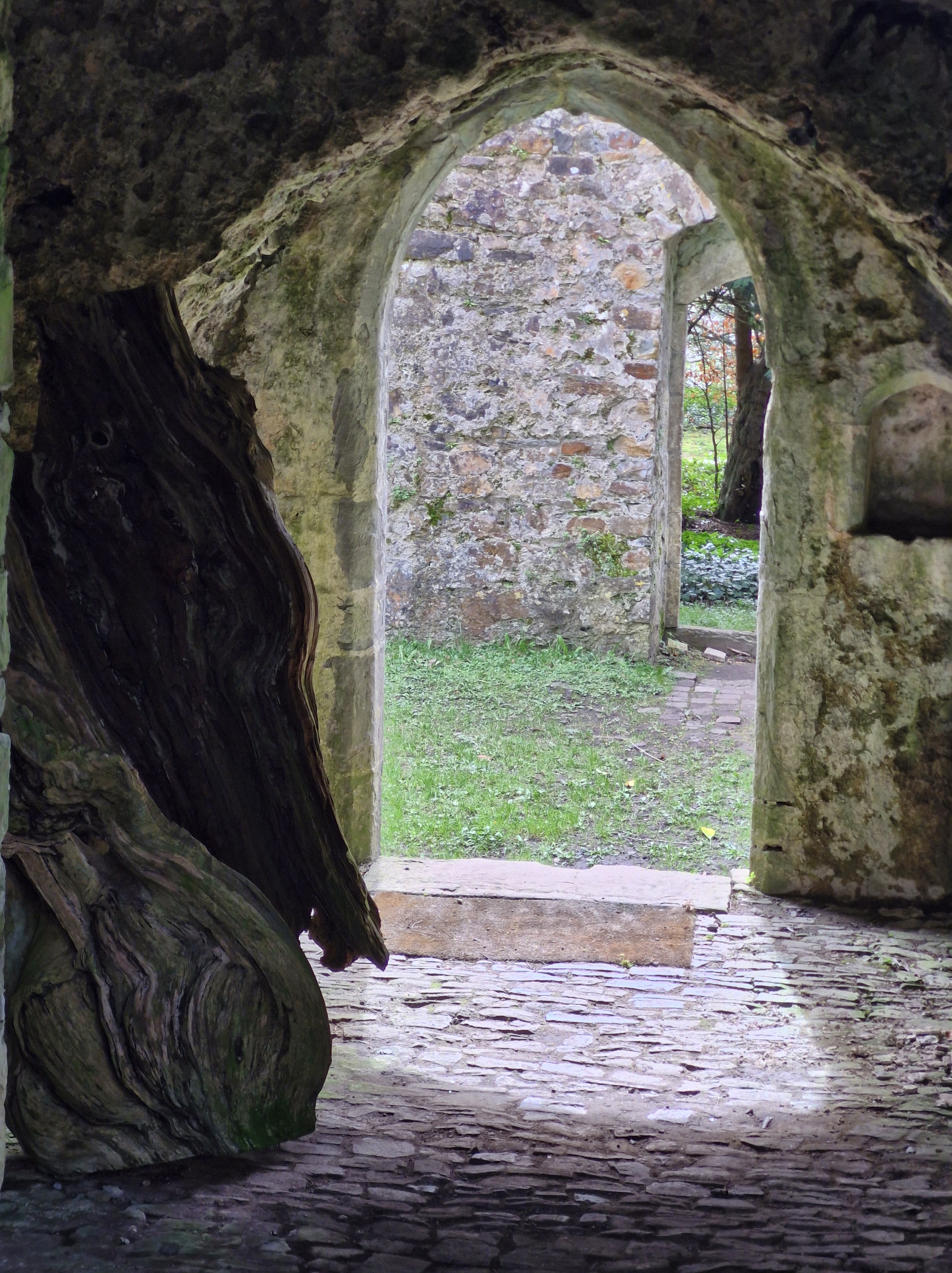
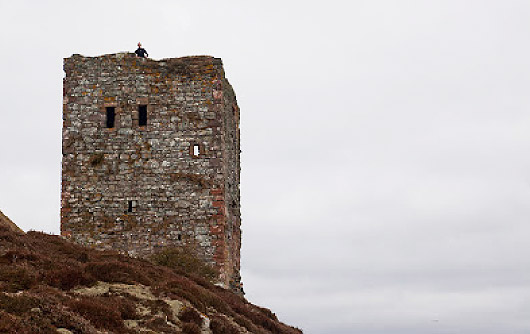
The oldest building standing today is the Norman tower in the estate’s 12th-century church. Likely part of a watchtower, it strategically overlooks the river. This site was connected to other Norman castles, forming a defensive line across Pembrokeshire. During the 13th and 14th centuries, Slebech became home to Wales’s most powerful monastic foundation, managed by the Knights of St. John (formerly the Knights Templar, now known as St. John’s Ambulance). The hospice here made Slebech a crucial gathering point for knights embarking on crusades. In fact, knights killed in foreign battles had their hearts pickled and reburied in the church crypt and on Dog Island, now a Scheduled Ancient Monument. A 12th-century sword, found on Dog Island, is now displayed in the Welsh National Museum.
Slebech’s prominence waned during Henry VIII’s Reformation when the powerful Commandery was disbanded, and its lands were redistributed. Today, only the 12th-century church, some tunnels, and remnants of thick walls from Slebech Hall remain from this period. The rest of the estate’s medieval structures were destroyed during the English Civil War.
After being sold by the Crown, the estate came into the hands of Roger Barlow, a powerful Tudor gentleman and close confidant of Henry VIII. An adventurer, Barlow sailed with the Spanish fleet on voyages to the Americas. The Barlow family owned Slebech until the 18th century, when Catherine Barlow inherited the estate. Catherine married Sir William Hamilton, but died childless in 1782. Sir William later married Lady Emma Hamilton, famous for her affair with Admiral Lord Nelson. When Sir William died, he was buried alongside his first wife, Catherine, in Slebech’s old churchyard.
Slebech Hall, one of Wales’s finest Georgian manor houses, was constructed in the 1750s. It was reputedly designed by architect Anthony Keck, also believed to have designed Highgrove House, home to Prince Charles. Around the same time, the estate’s modest granary buildings were transformed into stables and coach houses, some of which still retain their original charm today. These buildings were castellated, inspired by nearby Picton Castle. Slebech Hall remains largely intact and is Grade II* listed, with future plans to restore it to its original grandeur and incorporate it into the hotel operations.
The estate later passed to Nathaniel Phillips, a Jamaican sugar plantation owner known for his duels and his marriage at 65 to a 19-year-old heiress from Picton Castle. His daughter, Mary Dorothea, married Baron De Rutzen, an eccentric figure who built the “back to front” church on the A40, an imposing structure still standing today. The family line ended with John Frederick Foley, who died in Italy during WWII.
During WWII, Slebech was used by the US Army as they prepared for D-Day, with local lore suggesting a Willis jeep remains submerged in the estate’s lake—a symbol of youthful folly.
Eventually, the estate was sold to the Honorable William Phillips, father of Geoffrey Mark Phillips, who began the current hotel operation. The Phillips name quietly exited the estate’s history in 2013, marking the beginning of a new chapter.
Today, Slebech Park continues to welcome travelers, just as it has for over a thousand years. With its rich history, bespoke bedrooms, fine dining, and serene walks through stunning landscapes, Slebech offers a truly historic and unique destination that embodies both luxury and heritage.
The above history of the estate is courtesy of: https://www.slebech.co.uk/


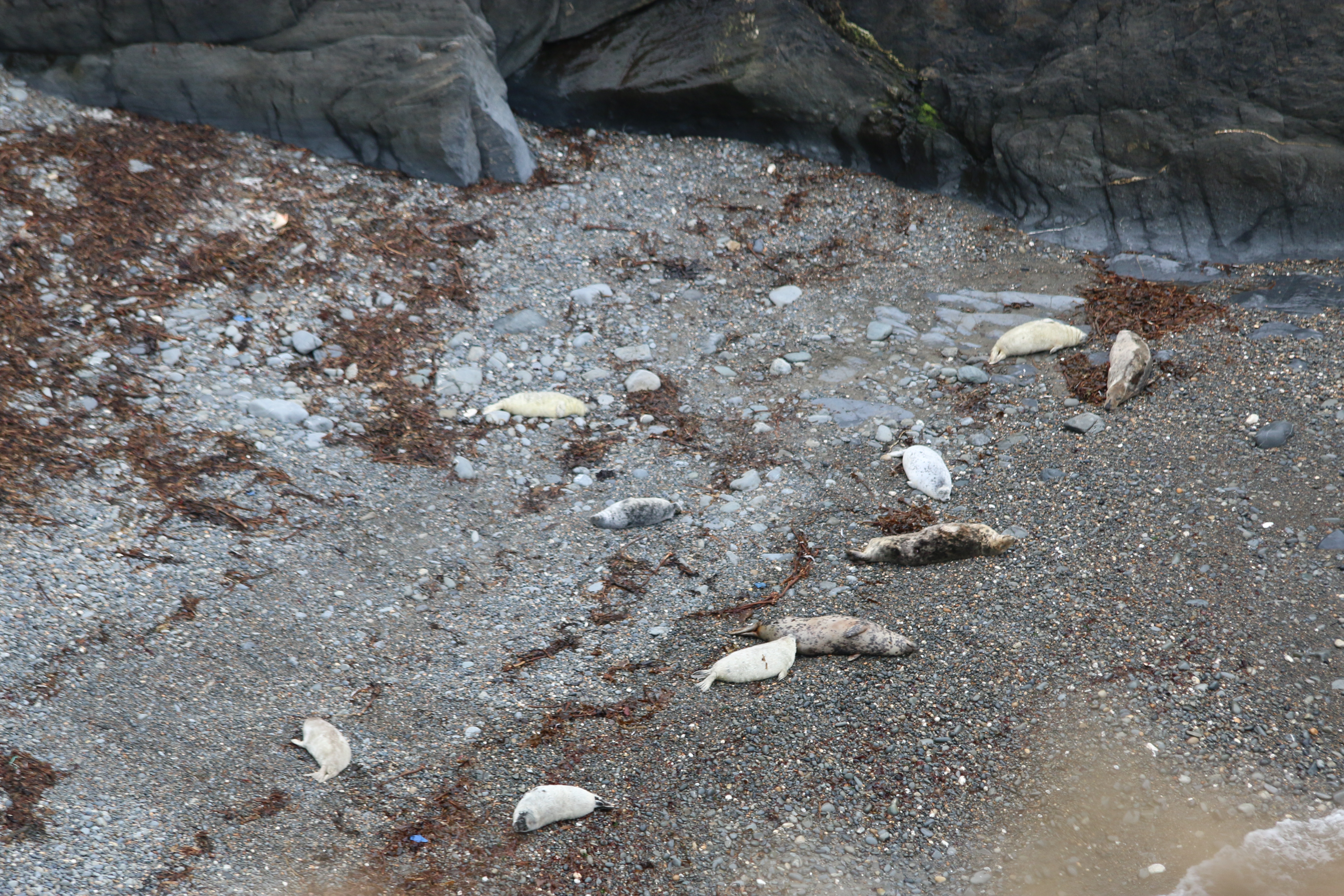

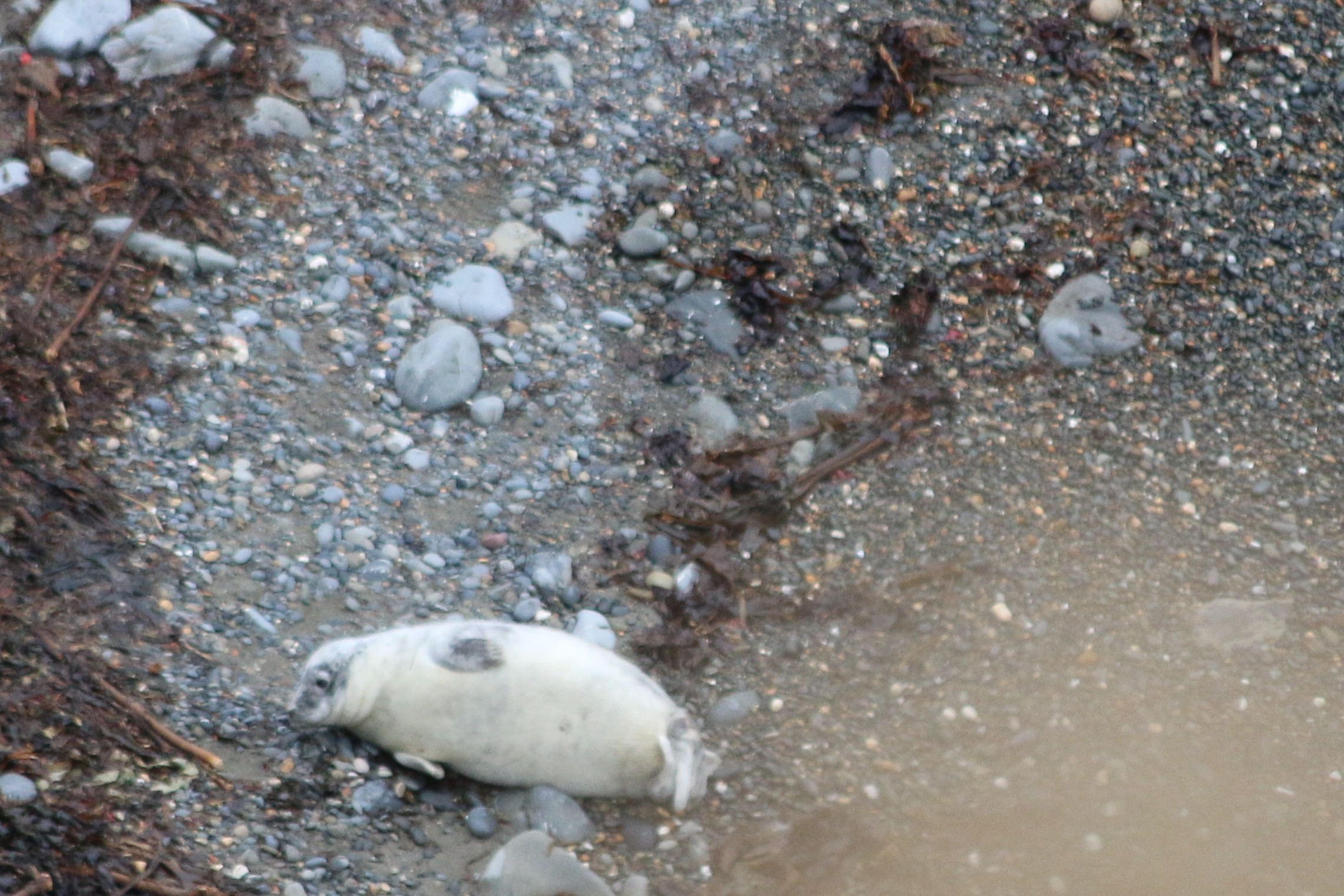


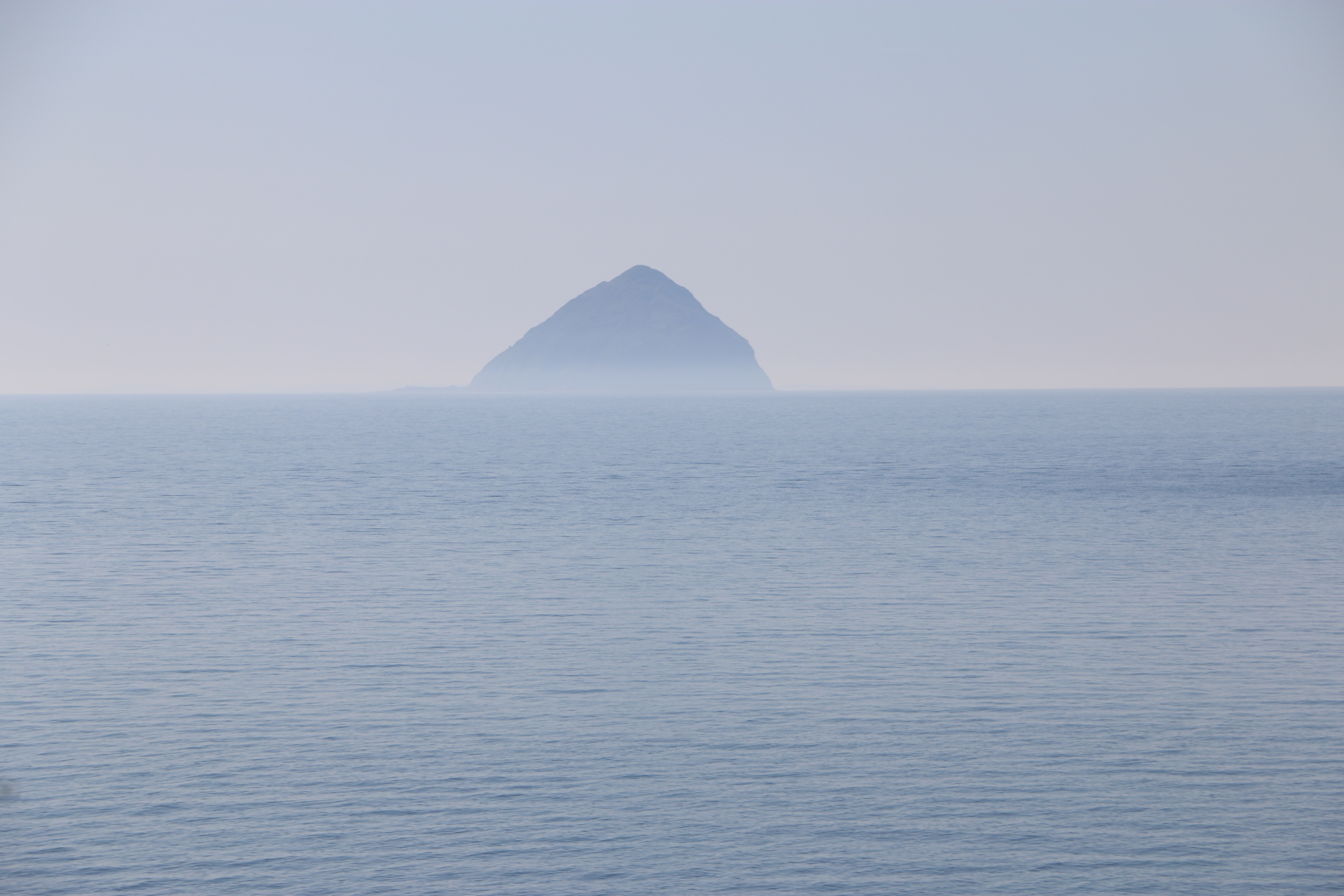


 St. Molaise was born in Ireland, the son of Cairell, the Irish king of what is now called Ulster, and the Scottish princess Gemma. Molaise was a very gifted and spiritually inclined child. He was much loved by his own people and was offered the throne of Ulster when he came of age, but instead he chose a religious and secluded life in a cave on the west coast of Holy Isle. He was then only 20 years old. Some people believe that when St. Molaise chose the cave on Holy Isle as his hermitage, the island was already considered a special, “holy” place.
 The cave where St. Molaise lived, is about half way along the western shore of Holy Isle, about ten meters above the high-water mark, and consists of an overhanging sandstone rock with a sunken stone floor. It is thought that in Molaise’s time much of the opening of the cave was closed up by a wall to keep the weather out. The cave can still be visited today. Carvings can be seen in the wall, such as simple crosses, perhaps made by pilgrims, and Norse runes, mainly of personal names. One of these says “Vigleikr the Marshall carved”. Some of the crosses seem to have been carved at around the same time as the names, so perhaps there was an element of pilgrimage to the cave among the Vikings. Lastly, there is an unusually designed cross carved into the roof of the cave.
 Close to the cave is a spring, known as the Healing Well which is thought to cure ills and bring blessings. In the 18th century it was recorded that “the natives used to drink and bath in [the well] for all lingering ailments”. The same source describes the water as “gushing out of a rock”. At the beginning of the 20th century apparently there was a cistern present built of masonry, with a stone spout which delivered the water. The spring is overgrown now so that you wouldn’t get more than a footbath from it but the water is still cold and clear, albeit it does not meet current EU standards for drinking water.
 In 1488 Holy Isle and land in the Lamlash area was owned by one John Hunter, before being passed over to the Earl of Arran in 1527. The island continued to be part of the Arran Estate in Hamilton ownership even into the 20th century, being rented out to various people until that time. In the 18th century, Captain James Hamilton (not related to the dukes of Hamilton who owned Arran) obtained a long lease on Holy Isle from the Duke of Hamilton. In 1779 he built what became known as the Big House (the old farmhouse, now called the Harmony Wing).
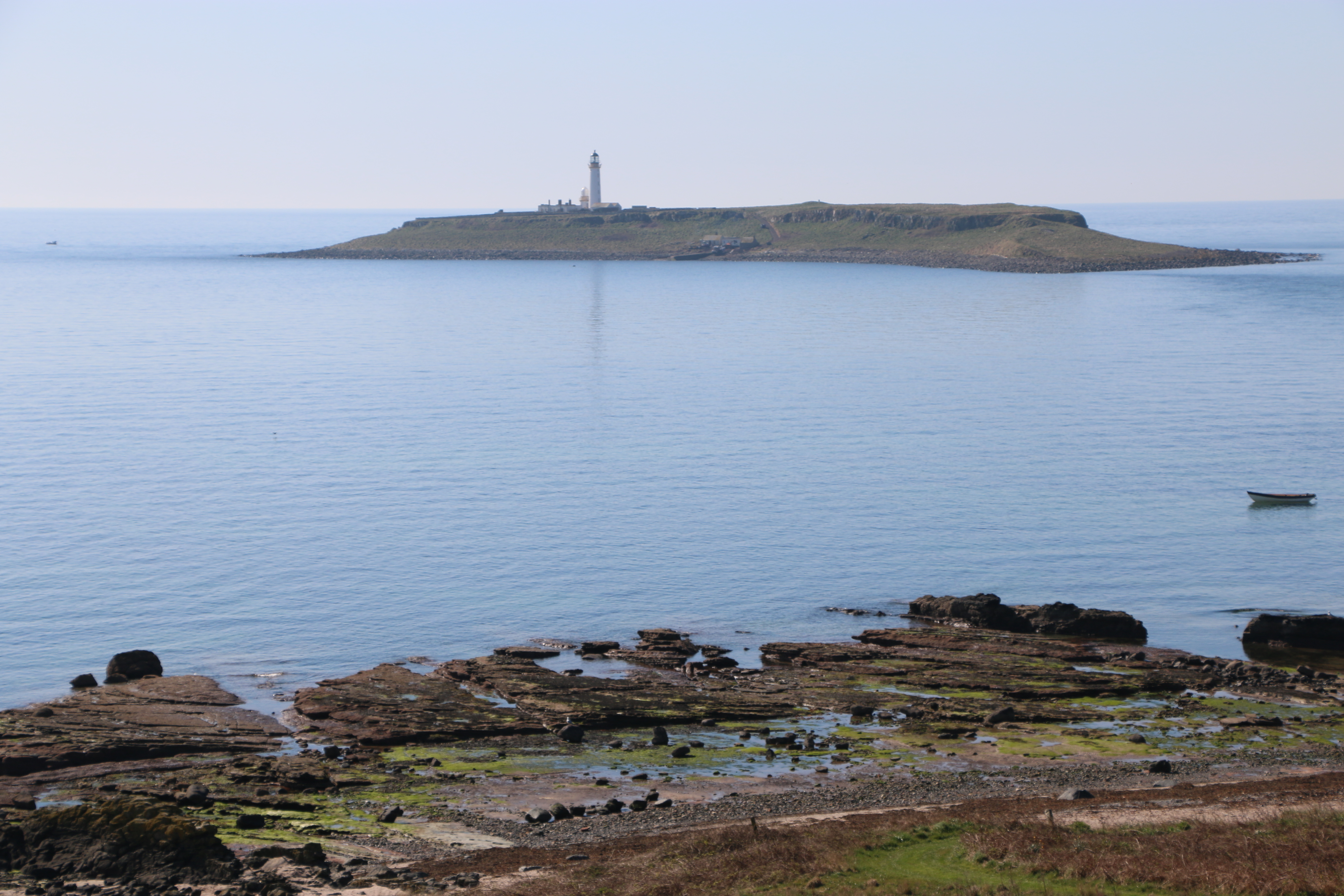
 In 1877 the inner lighthouse (facing Arran) was built on Holy Isle, engineered by David and Thomas Stevenson. It is locally known as “Wee Donald”, though the current lighthouse keepers don’t know why anymore. The outer lighthouse, or Pillar Rock, was built in 1905 on the east shore. It had a fog horn and a revolving light that was lit by paraffin. Pillar Rock lighthouse was the first lighthouse built with a square tower and has several rooms inside for the men who worked there. Lighthouse cottages were built to house four families of the lighthouse keepers and a walled garden was made. The lighthouses became automated in 1977, and are now serviced every two weeks by local people living on Arran.
 In 1987 they decided to put the island up for sale for £1 million. The island remained unsold however, and in the autumn of 1990 Mrs Morris approached Lama Yeshe to offer the island to him, because she felt that its future would be best taken care of by “the Buddhists from Samye Ling”. Lama Yeshe first came to Holy Isle on the winter solstice of that year and became determined to buy the island. Finally the asking price was dropped to £350,000, which Lama Yeshe managed to raise by April 1992.