

The two hundred acres of Craflwyn estate is set in the heart of beautiful Eryri (Snowdonia), an area steeped in legend.
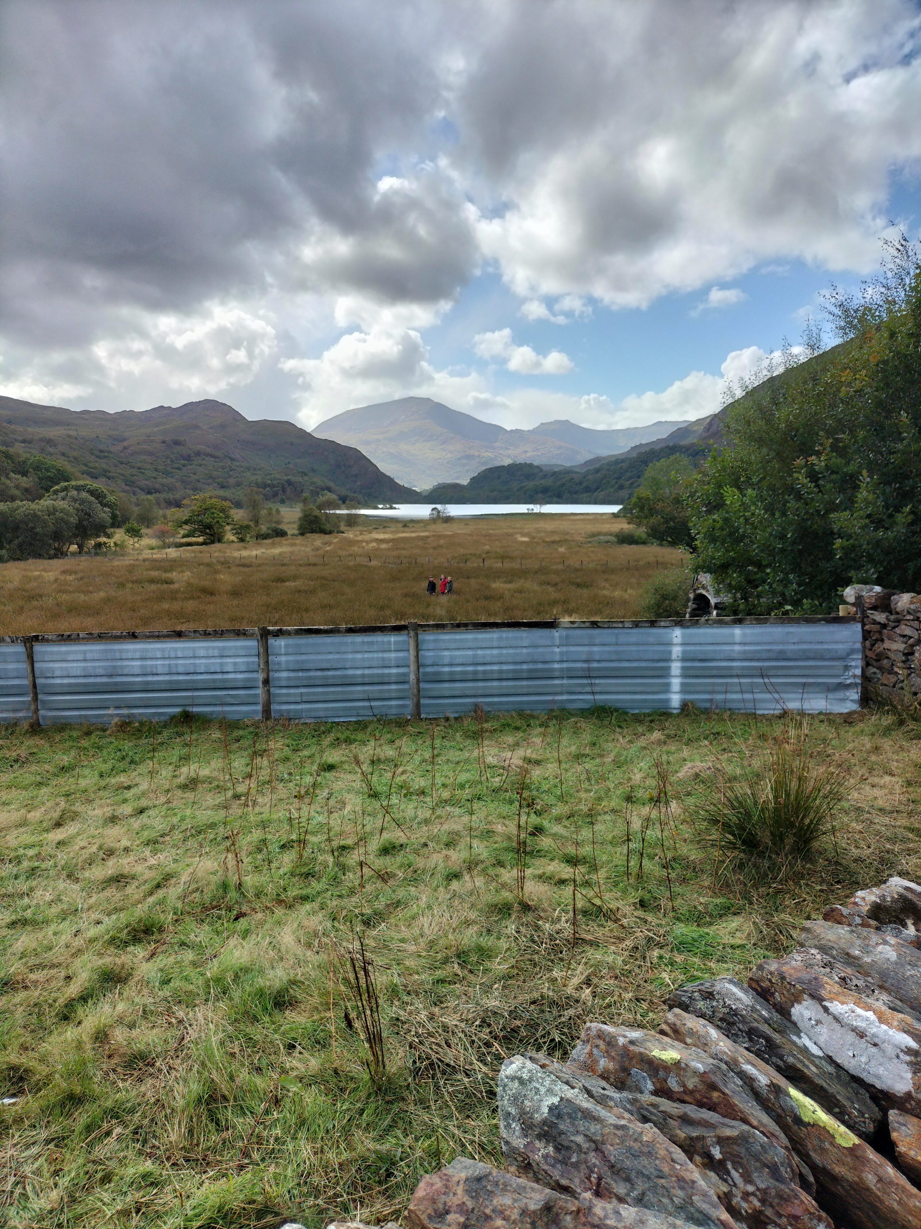
A walk of two halves today. We parked at the Crafwlyn Estate car park, just outside Beddgelert and, having read the information board, the Photographer and I decided to do the Green Walk. The sign promised an easy to moderately difficult ascent of only one and a half miles to the viewing point. It was the “spectacular views” that clinched it.


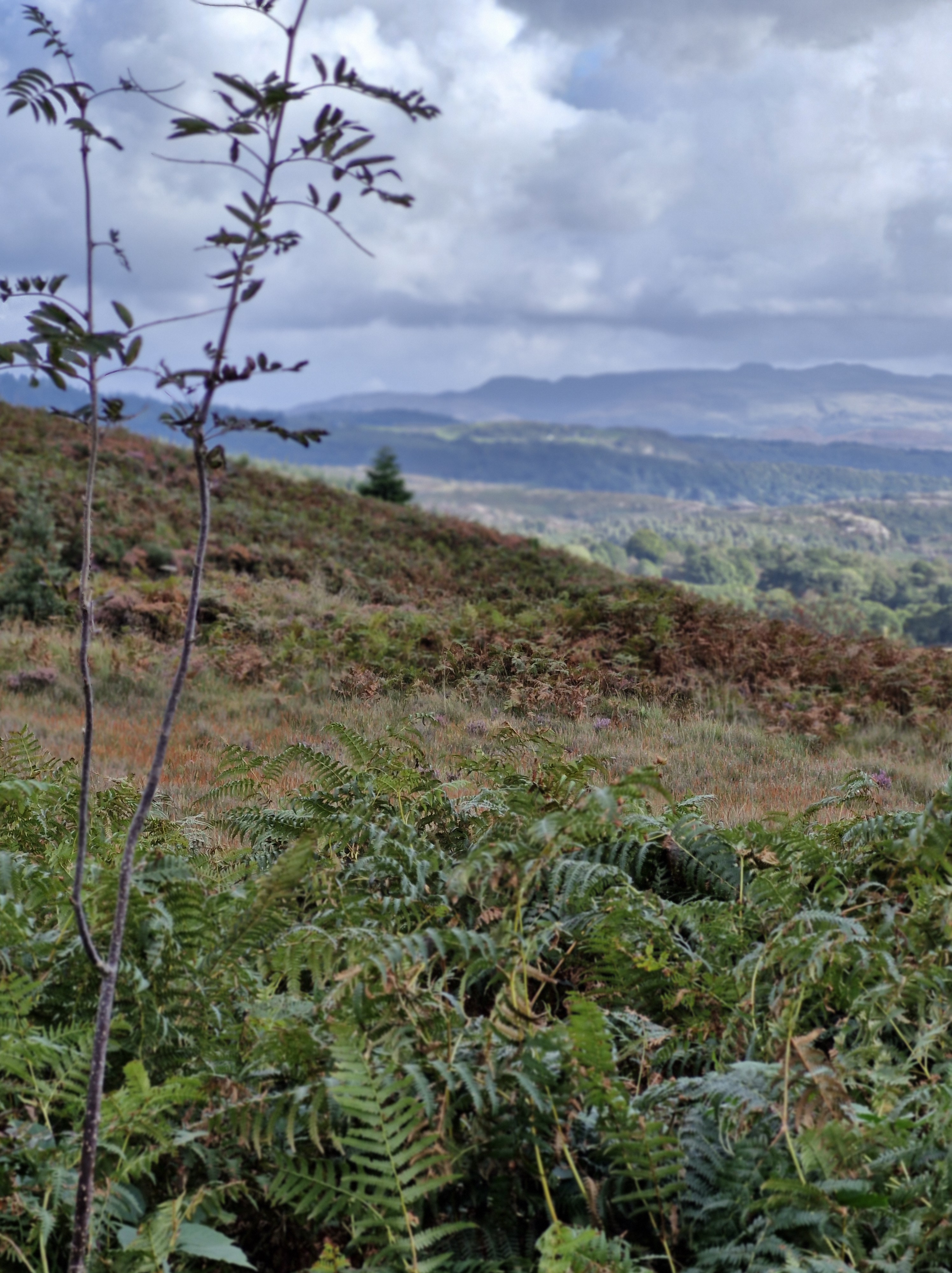
The heather was glorious. The path was … somewhere…
The walk turned out to be difficult, and certainly longer than one and a half miles. Quite the opposite in fact, and it and became steeper almost immediately, and very rocky. We assumed it would level out at some point but it never did and we just kept climbing and climbing.
Dinas Emrys is a rocky and wooded hillock near Beddgelert. Rising some seventy-six metres above the floor of the Glaslyn river valley, it overlooks the southern end of Llyn Dinas. The legend is that it’s where Merlin once trod and where a dragon still sleeps. At the top are the remains of a square tower and defensive ramparts belonging to the ancient princes of Gwynedd. We never saw that at any time over the week… ” the square stone tower at Dinas Emrys in Gwynedd, Wales is believed to be the base of a 12th century tower or citadel. The tower is now in ruins, but its rectangular shape and local rubble masonry are still visible.
According to legend, the tower was built by King Vortigern as part of a castle he wanted to construct on Dinas Emrys. However, the walls would mysteriously collapse each night, which led Vortigern to seek the help of Merlin the wizard. Merlin revealed that two dragons, one red and one white, were fighting in a pool beneath the castle. Vortigern and his men dug into the mountain to release the dragons, and the red dragon eventually won the battle. The castle was then named Dinas Emrys in honor of Merlin, and the red dragon became a symbol of the fight against the Saxons.
Just at the point where the ferns and tufts of coarse grass petered out, and the way in front of us rose sharply and consisted of sharp rocks, it began to rain and the view disappeared. We turned and scrambled back down – the second time we’d turned back on a walk that week.
One disgruntled Photographer…
Twenty minutes later and wet through, we saw a sign for the Waterfall trail. A footpath lead through the woodland, following a waymarker to the right.


We passed the dragon bench. Too wet to sit on it though.
We walked up some steps to see a small waterfall. But we could hear loud splashing further along the path.

The large waterfall. Apparently deep enough to swim in.
I didn’t test that theory.

It was a wonderfully peaceful end to the day – and to our last walk of the holiday.
We’d had a great week. The photographer was keen to get home to start downloading, printing off and framimg his photographs.
I was ready to finish the proofreading of my next book, The Stranger in my House, to be published by Honno on the 14th November 2024 .
Described as…
“A gripping ‘cuckoo in the nest’ domestic thriller
After the death of their mum, twins Chloe and Charlie are shocked when their dad introduces Lynne as their ‘new mummy’. Lynne, a district nurse, is trusted in the community, but the twins can see her kind smile doesn’t meet her eyes. In the months that follow they suffer the torment Lynne brings to their house as she stops at nothing in her need to be in control.
Betrayed, separated and alone, the twins struggle to build new lives as adults, but will they find happiness or repeat past mistakes? Will they discover Lynne’s secret plans for their father? Will they find each other in time?
The Stranger in My House is a gripping ‘cuckoo in the nest’ domestic thriller, exploring how coercive control can tear a family apart. Set in Yorkshire and Cardiff, from the 60s to the winter of discontent, The Stranger in My House dramatises both the cruelty and the love families hide behind closed doors.” https://tinyurl.com/349ucdat
I’m happy to leave things as they are here. So, until next time … thank you for following the Photographer and I on our adventures.


