Where We Walked The Triangle #LochRannoch #Kinloch Rannoch #Scotland

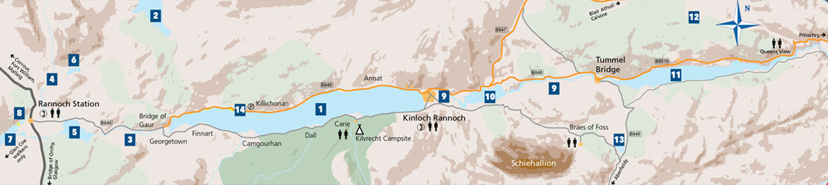
Or rather strolled!.This walk was part of a couple of the short walks we had over our stay as guests with one of the members at the Loch Rannoch Highland Club.

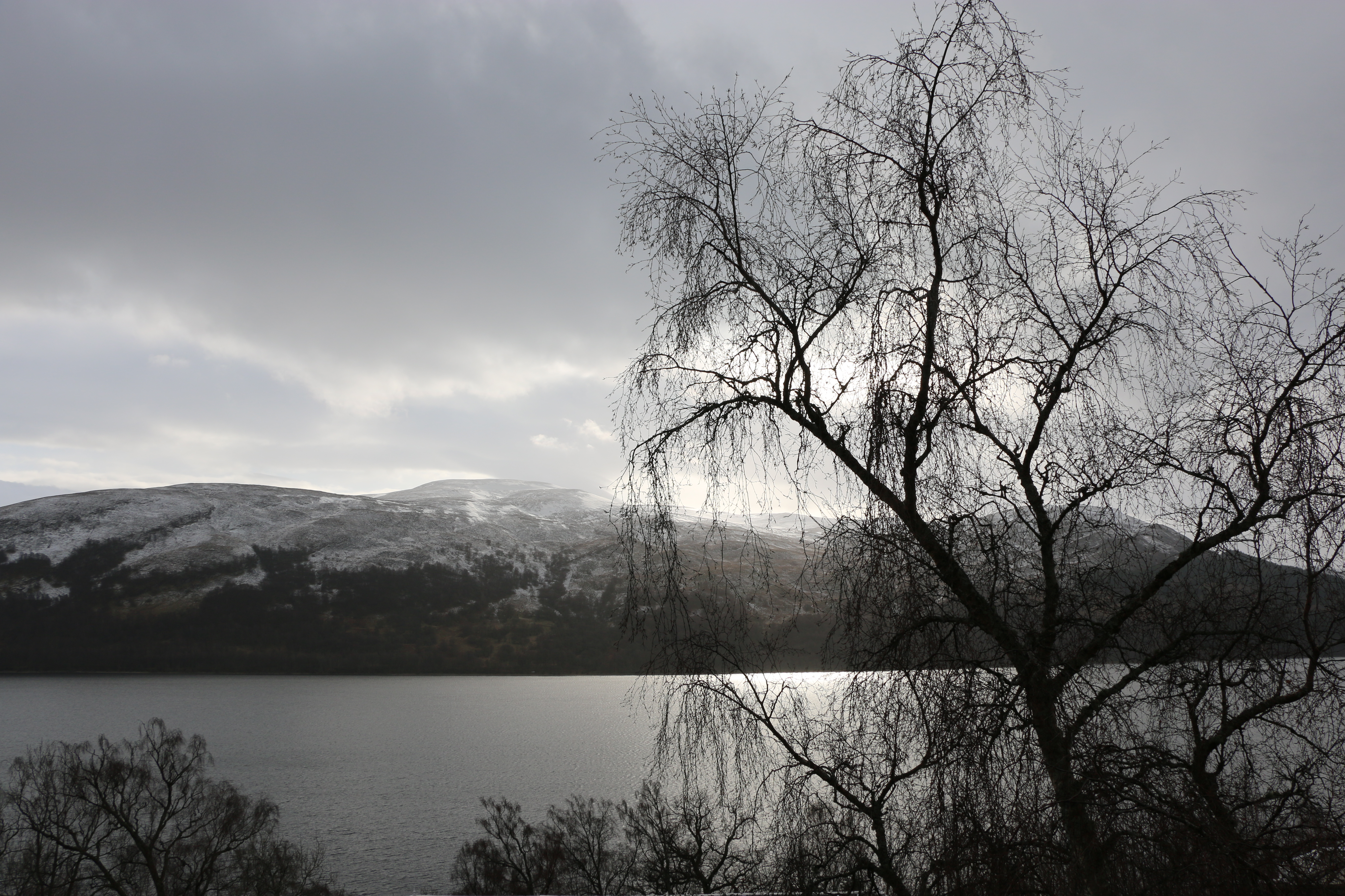
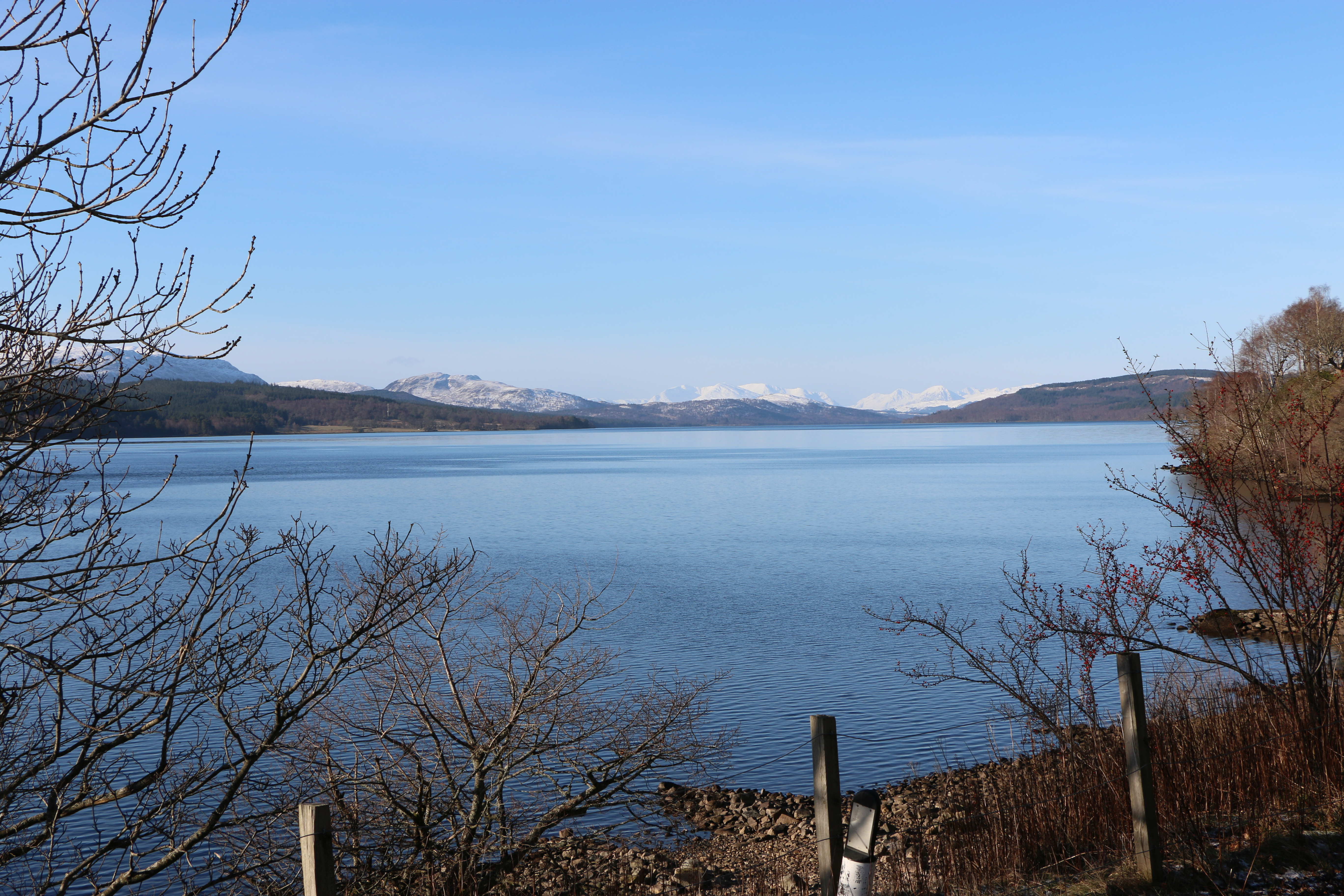
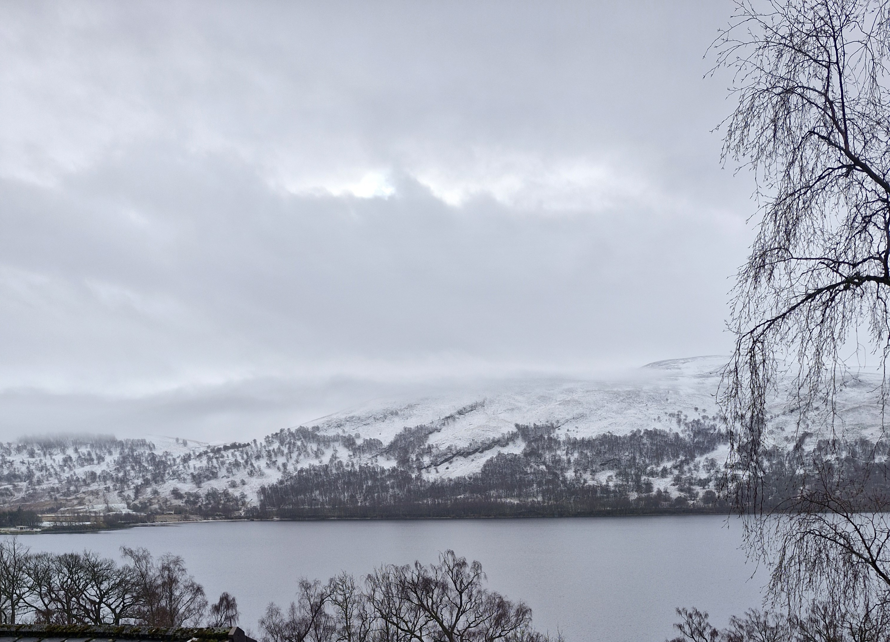
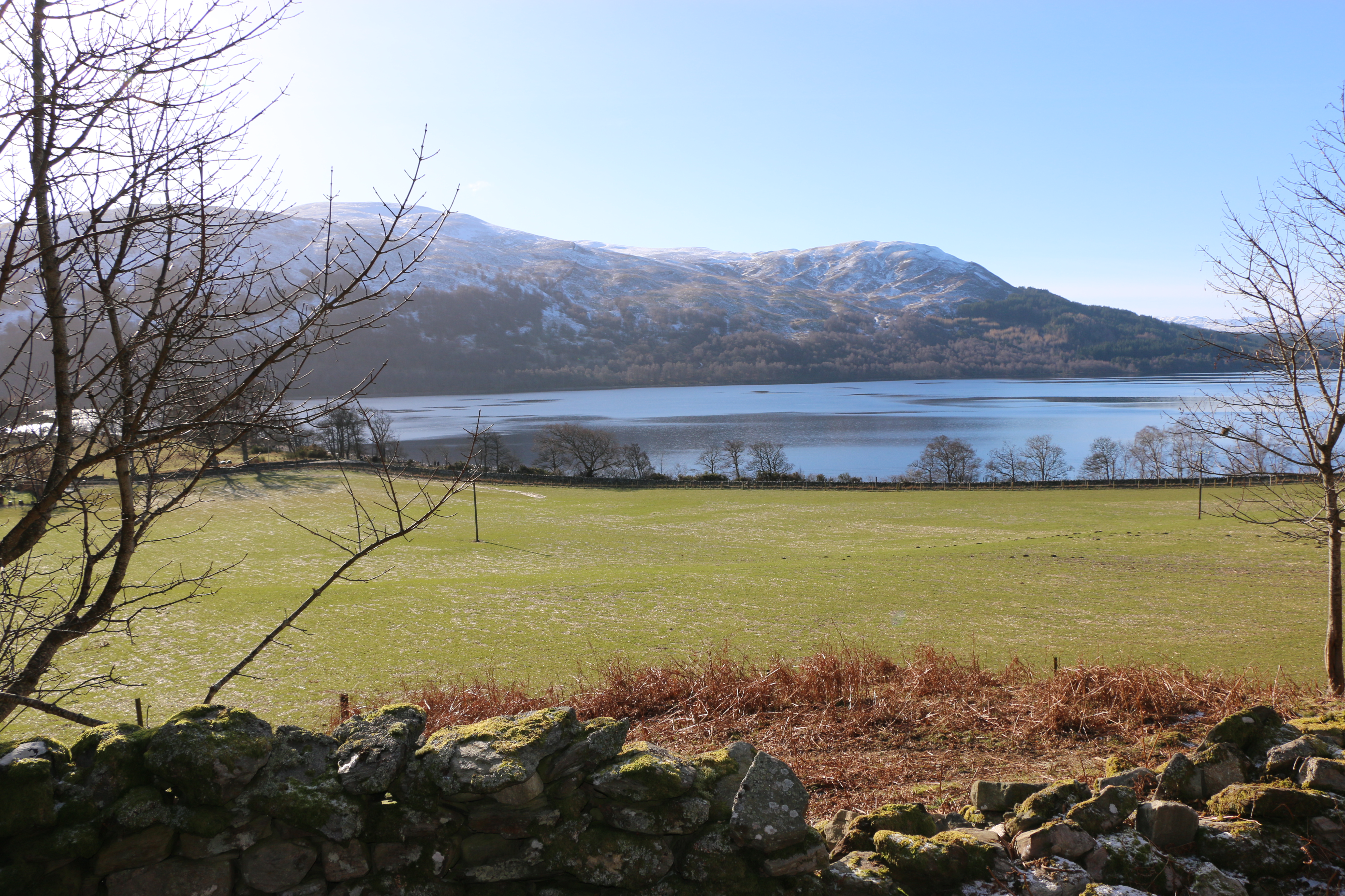
It truly is a wonderful place to stay, with every one of the lodges overlooking Loch Rannoch. The Photographer took this photo on our first night we arrived. We were hooked! It snowed, but soon cleared and we had four glorious days. The Triangle walk was an easy morning’s stroll that we found on the third day.

We’d previously passed a stone on the edge of the grounds of the club. That morning we stopped to read the inscription.

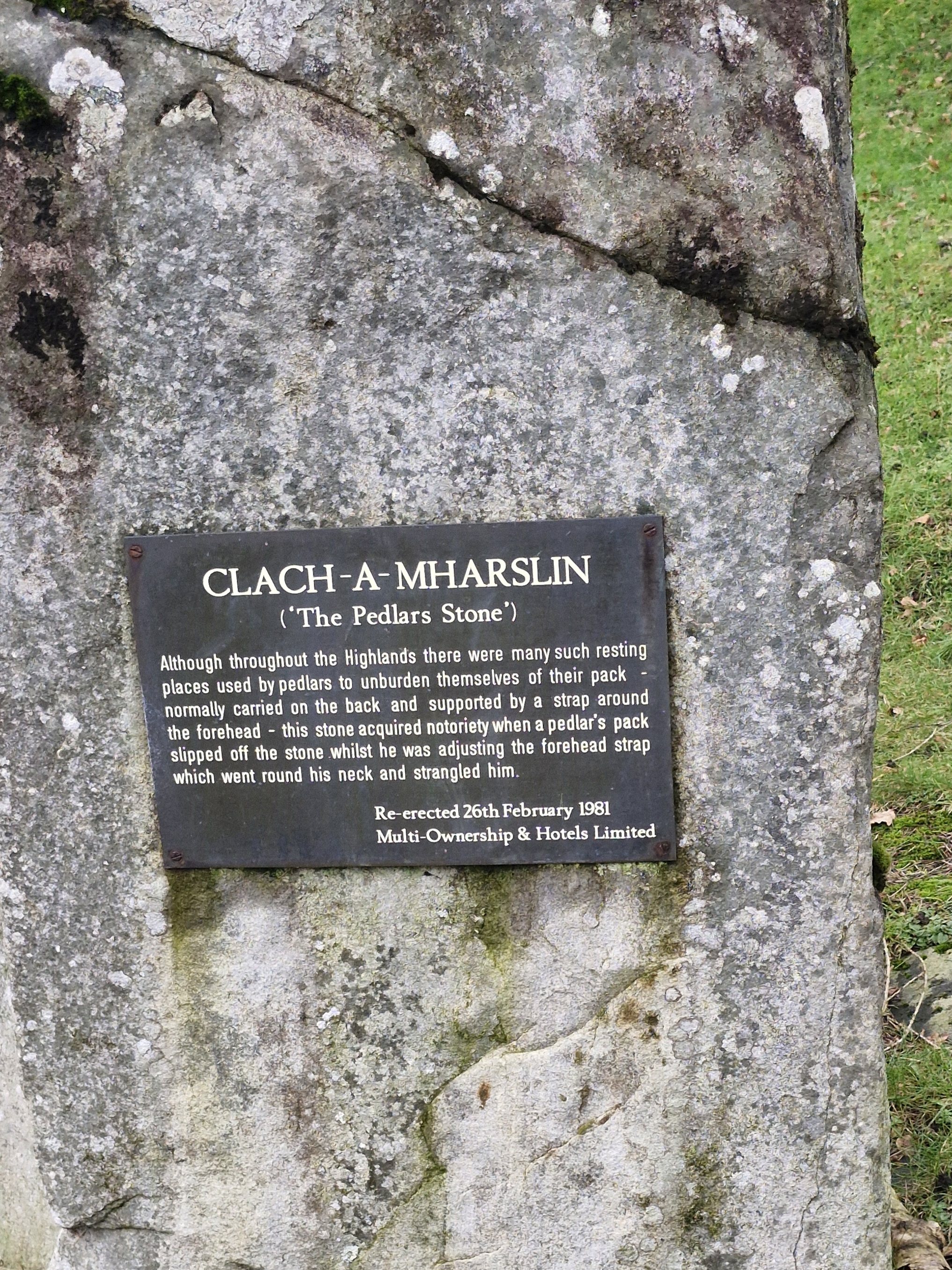
Hmm – not a cheerful tale! The Clach-a-Mharslin (Stone of the Packman) is the legend of a pedlar, travelling with a pack slung over his shoulders. Sitting down by the stone to rest, he put his pack on top of the stone. The pack slipped down the back of the stone, the loop tightening around his neck. Trapped, the heavy pack strangled him.

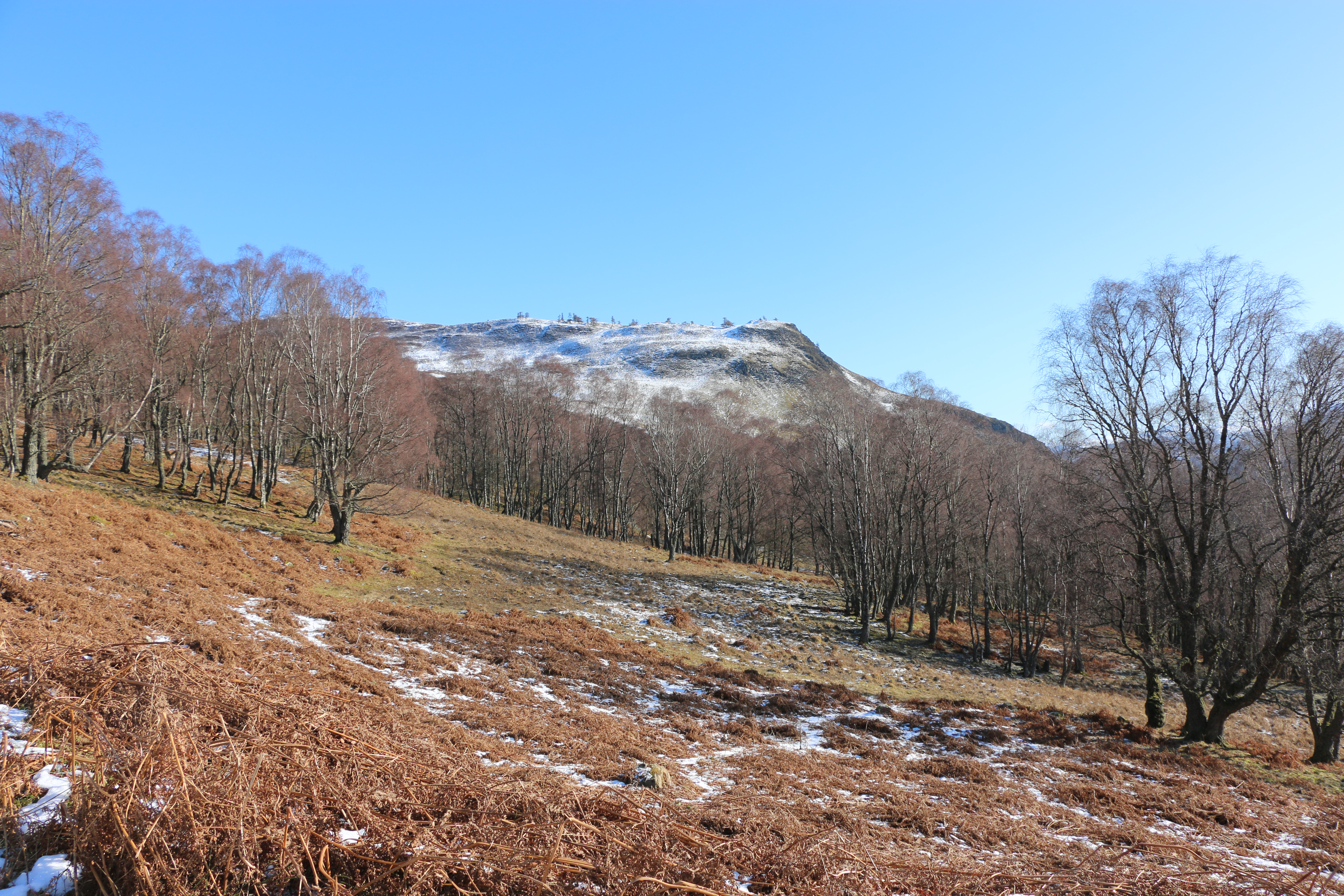
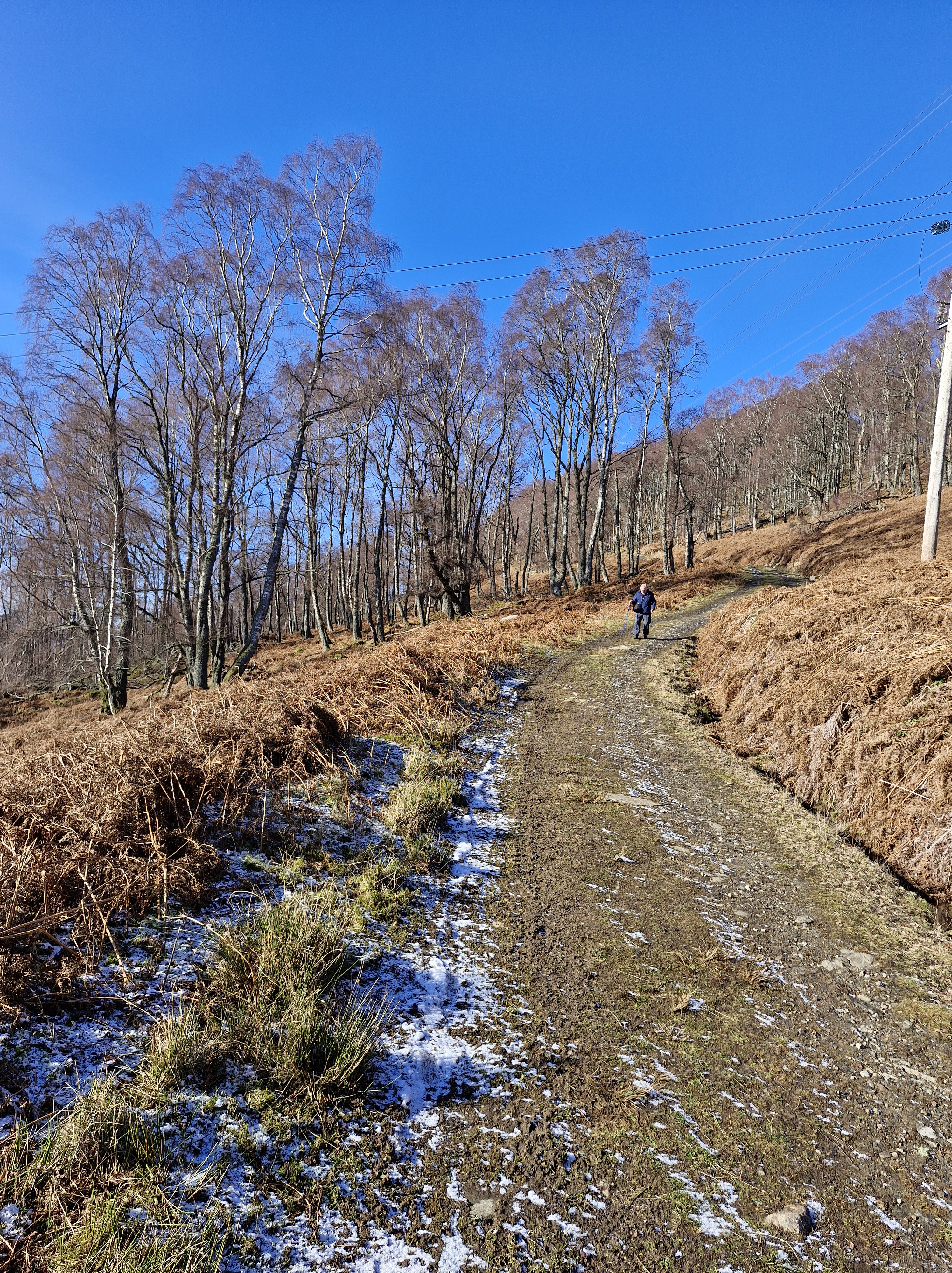
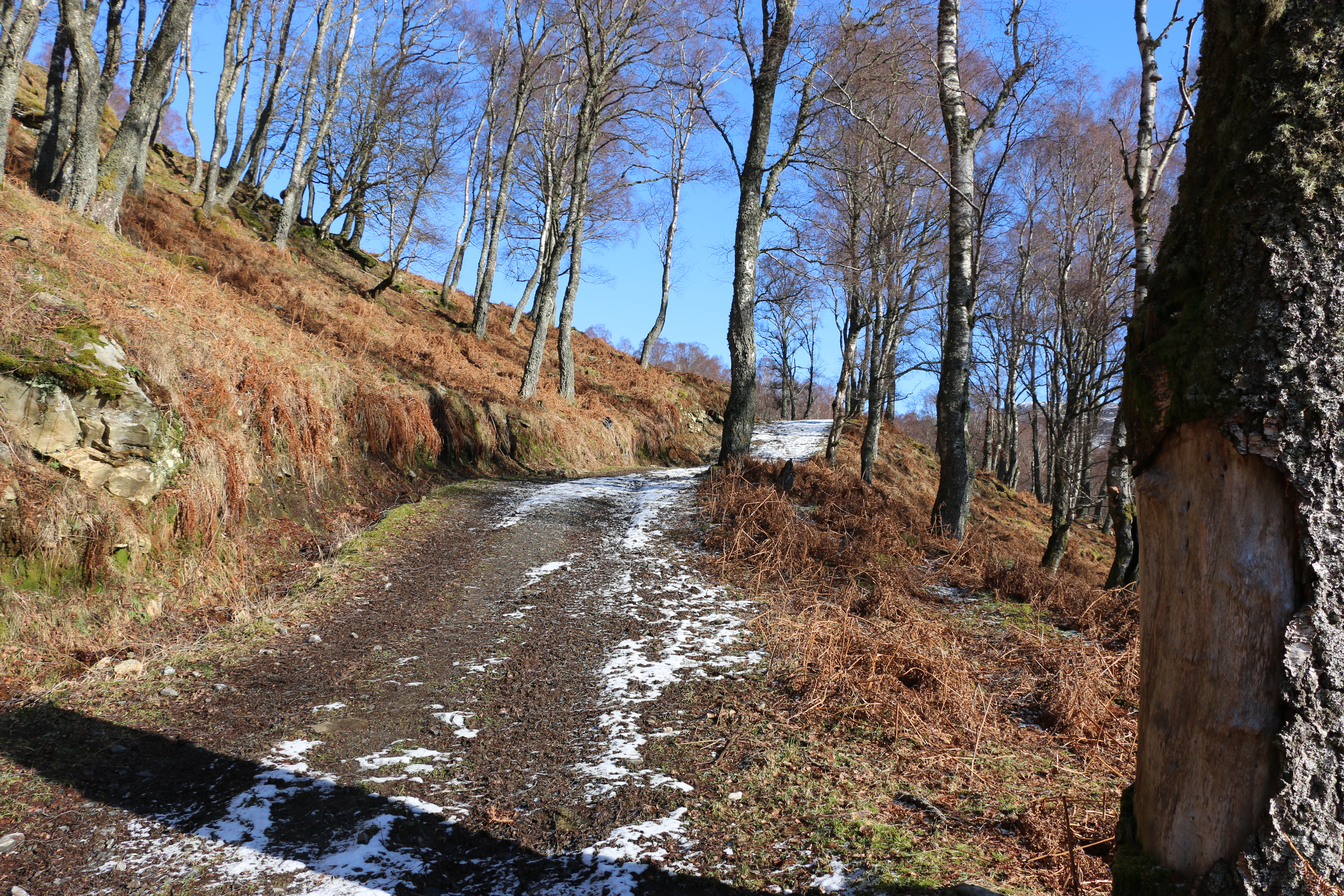
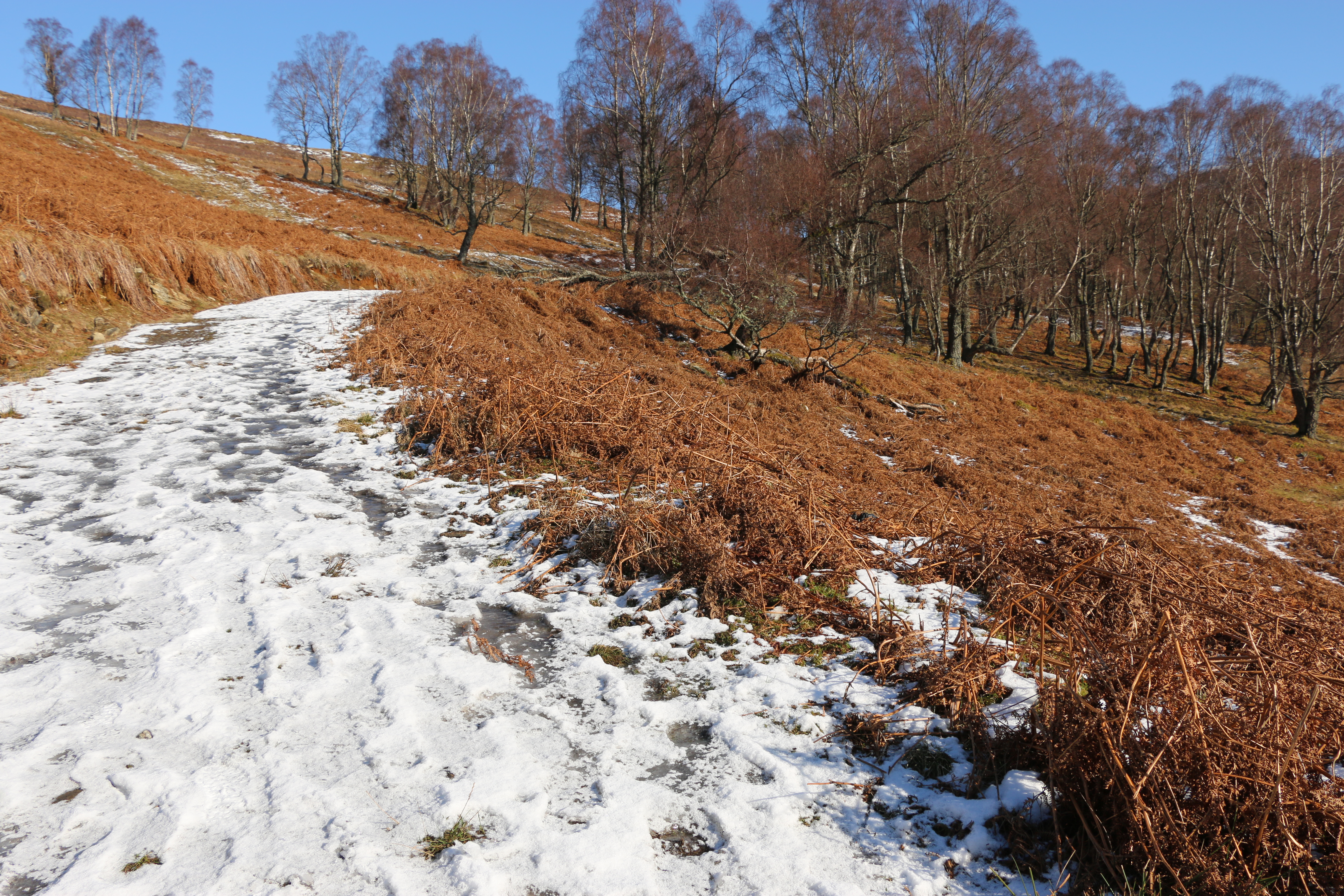
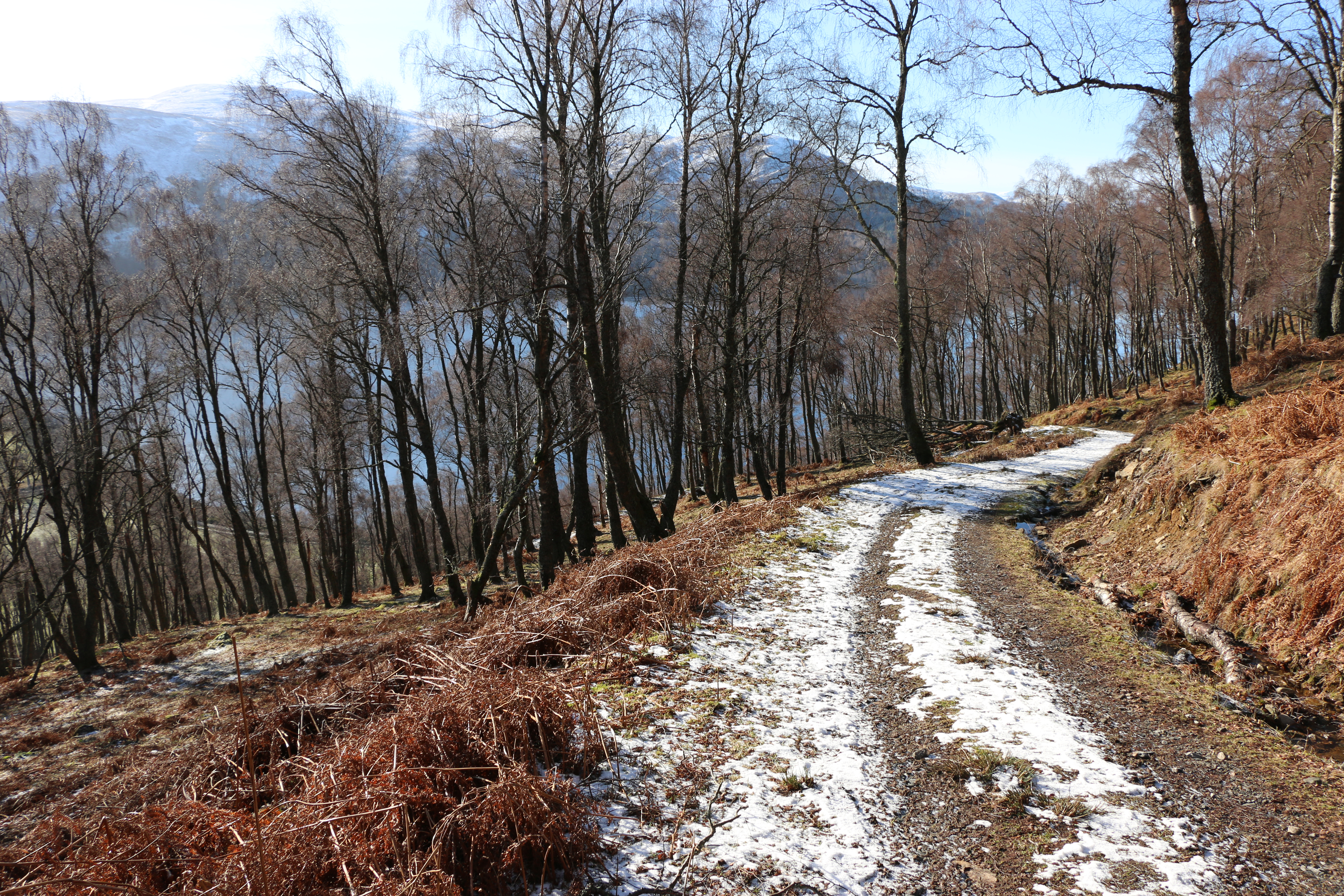
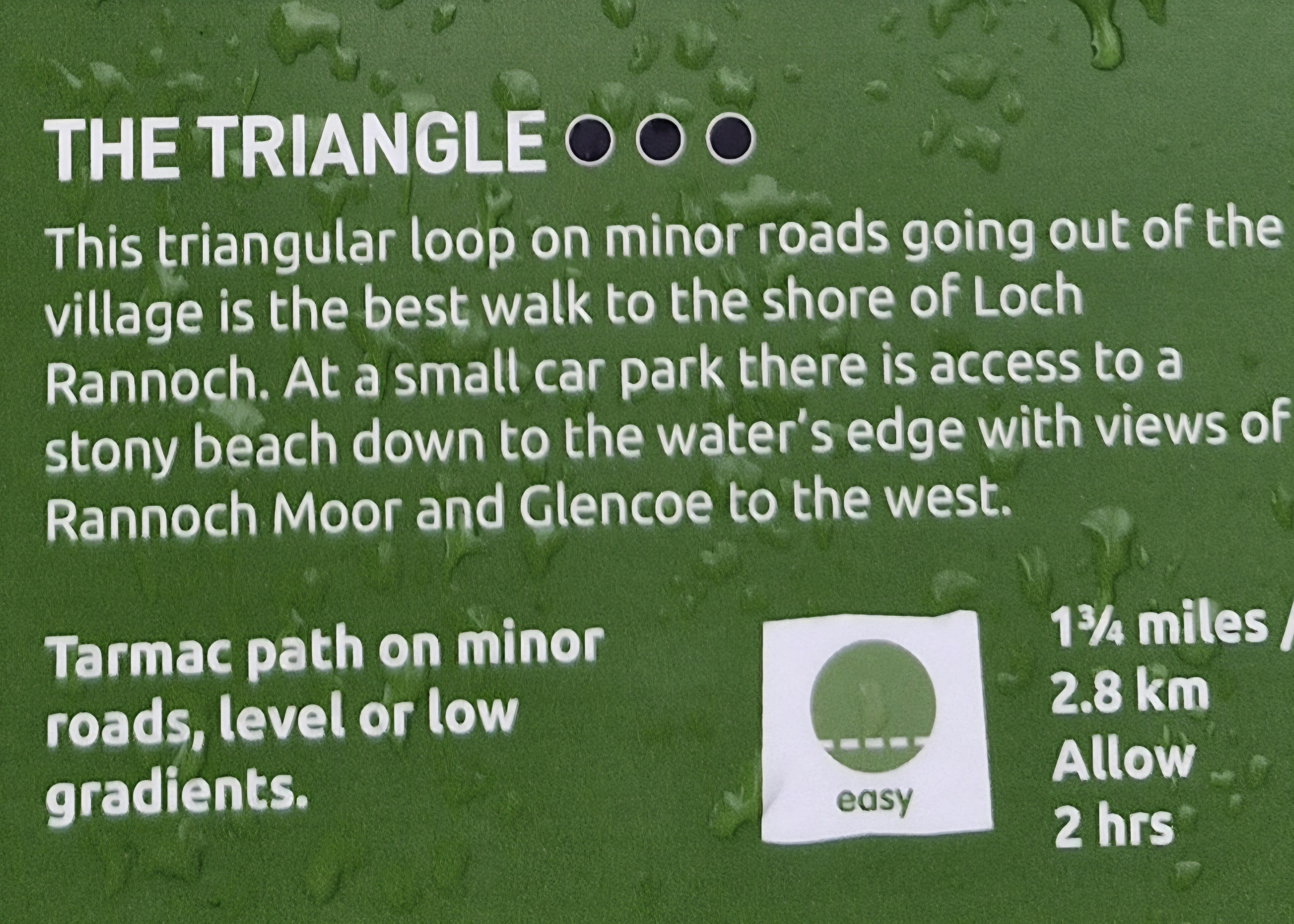
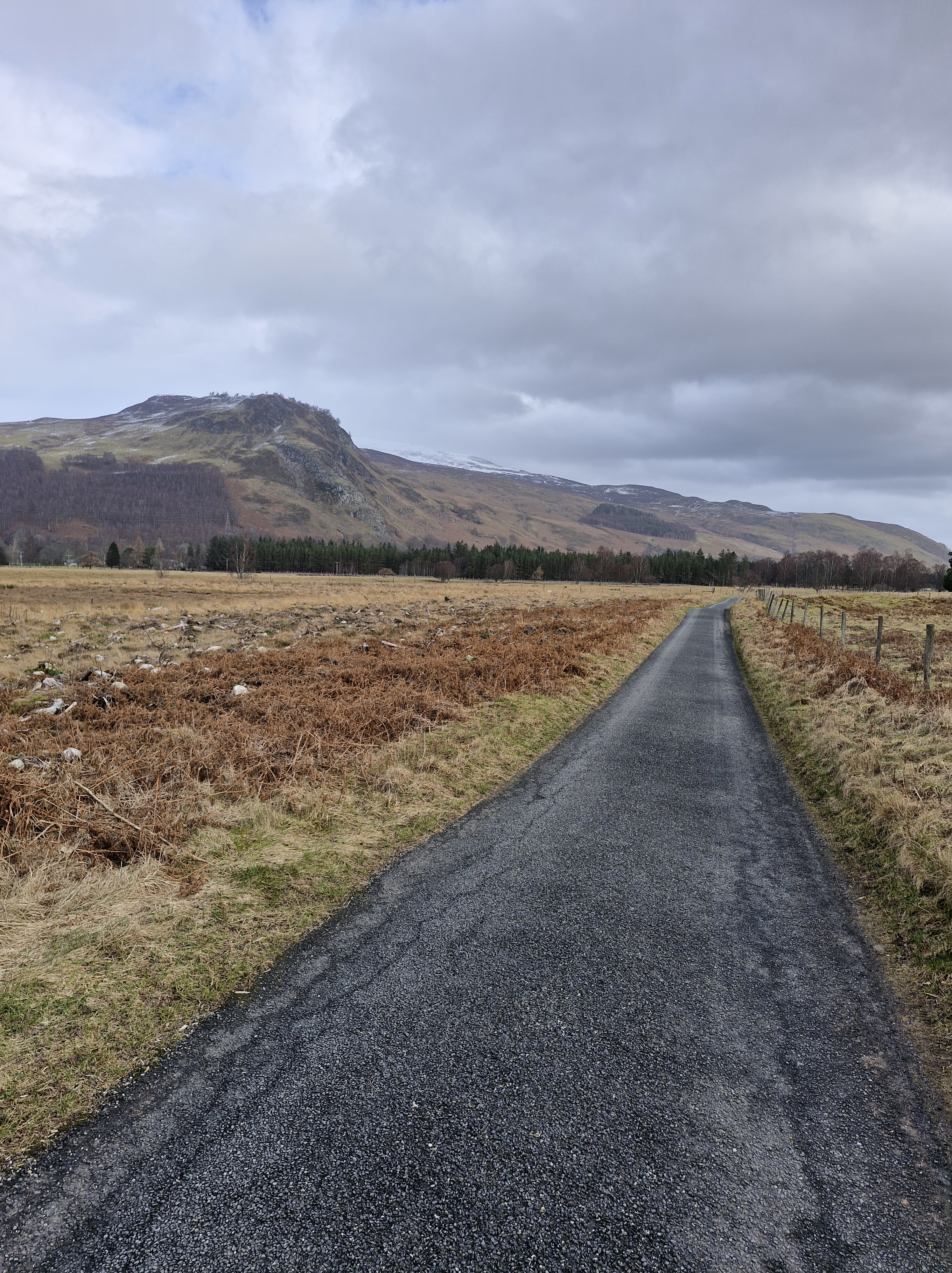
The Triangle walk is exactly what it says: we headed south from the loch to Kinloch Rannoch. Following our map, we left the village and walked along a lane for half a mile along the road that eventually leads to Aberfeldy.

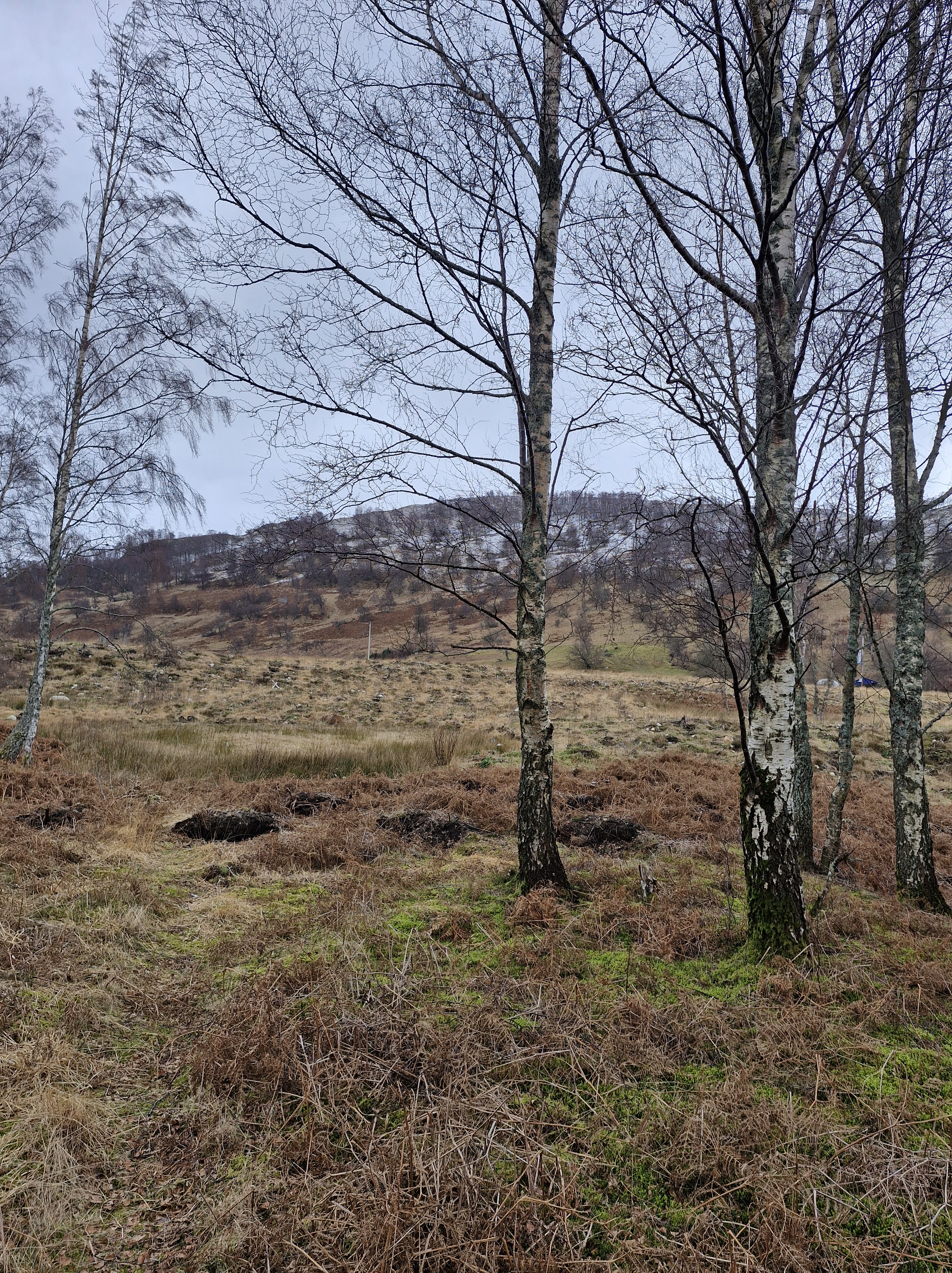
Believe it or not, there are deer here. We had trouble spotting them as well – they were all lying down.

We turned right onto Bunrannoch road, a long stetch of lane near the edge of the Dall Estate, which dates back to 1347. (We were told by the man in the village shop – the residents of Kinnloch Rannoch are such a friendly lot – that the estate surrounds Dall House, built in 1855 as the new seat of the Robertson Clan (Clan Donnachaidh) and gifted by Robert the Bruce for service in the Scottish Wars of Independence.)

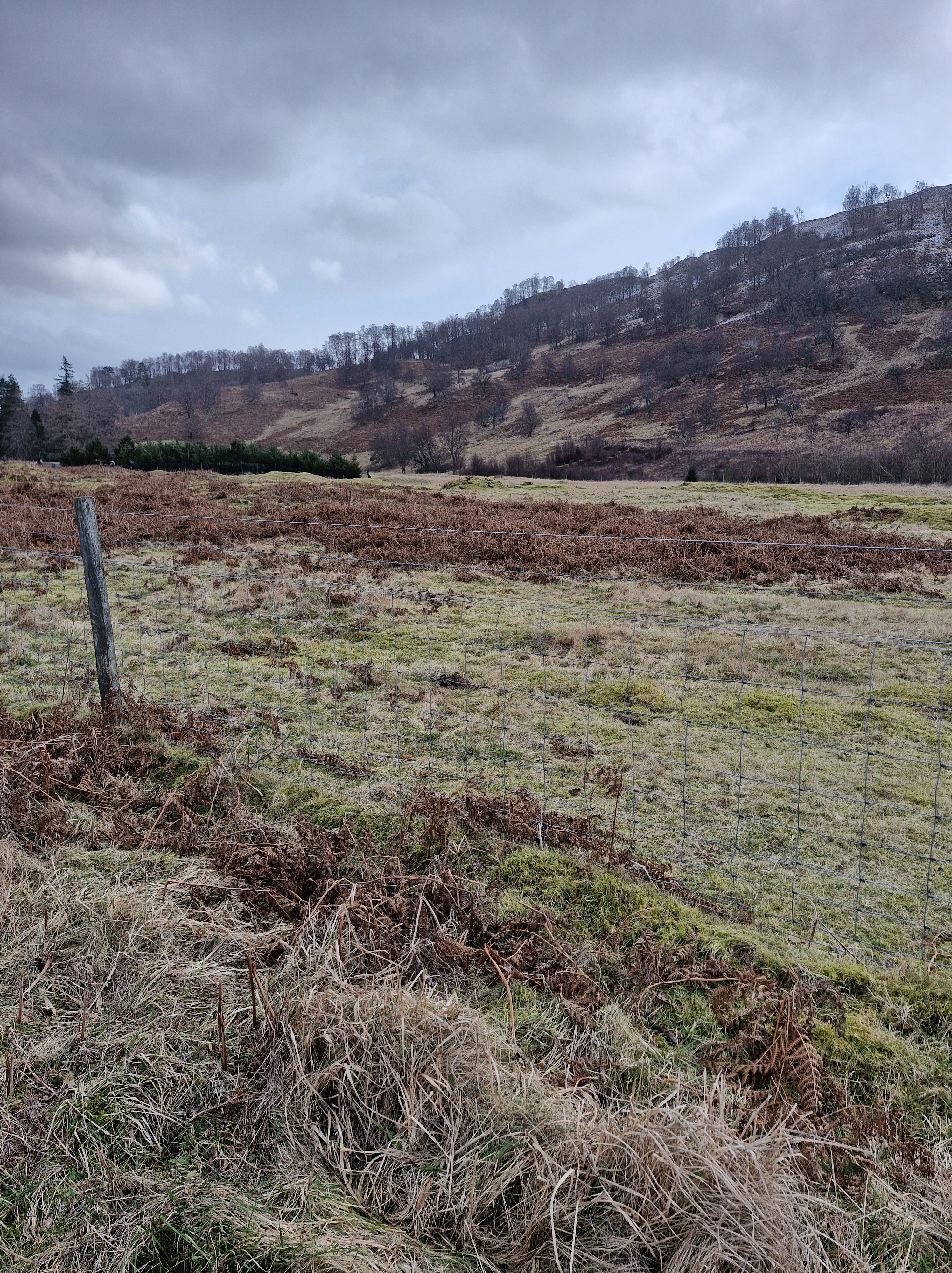
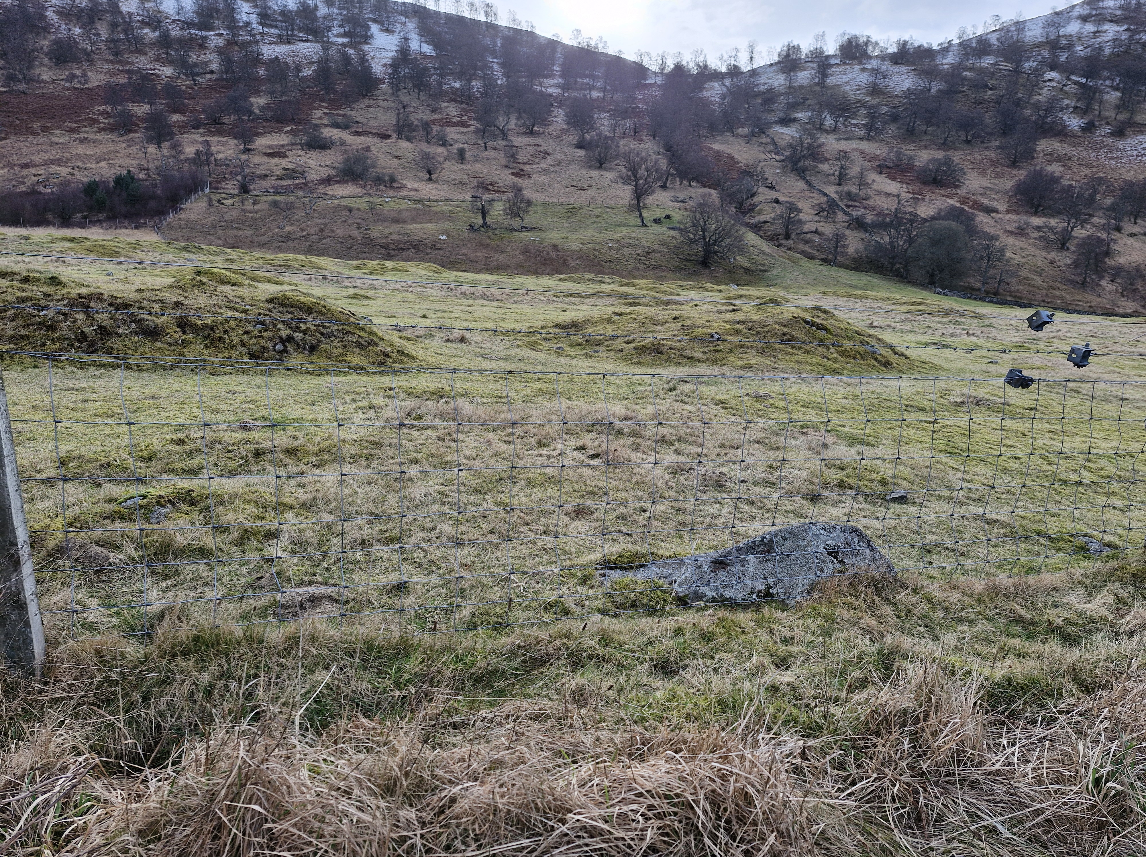
There is little to be seen of the old Rannoch village. But we were lucky enough to chat with an elderly man who explained that there were possible plans for another archeological dig being planned. And that the mounds were the remains of a settlement: three prehistoric roundhouses, two larger early historic monumental roundhouses, and five medieval longhouses. He also said that in the 1990s, archaeological digs at Bunrannoch had discovered some bronze axes, and that, in the nineteenth century, a bronze armlet, a form of Scottish Iron Age jewellery belonging to aristocracy and a symbol of power and prestige in the first and second centuries AD, was found. Artefacts all now in collections in the National Museum of Scotland.

It just shows – always stop to chat to fellow walkers!!

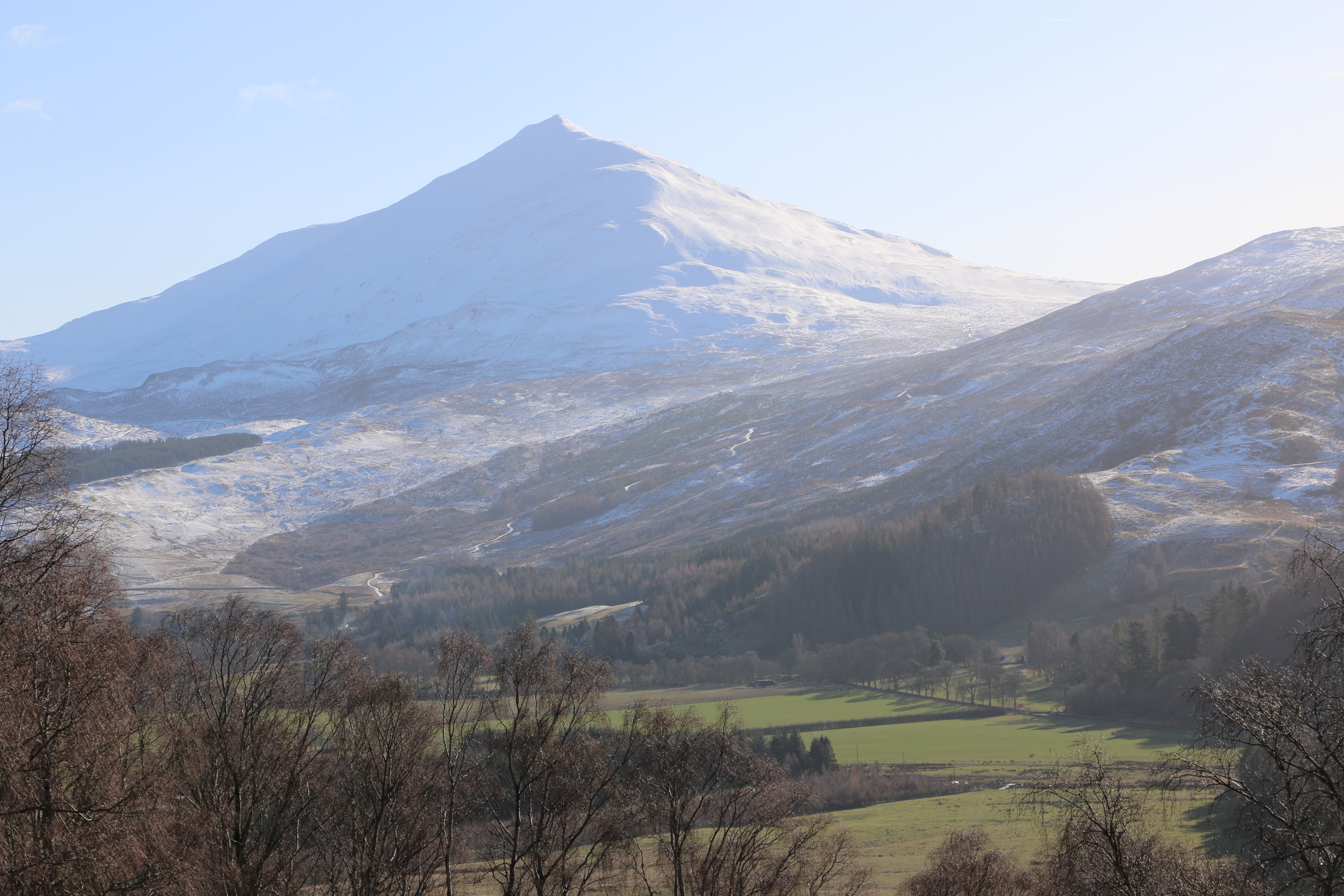
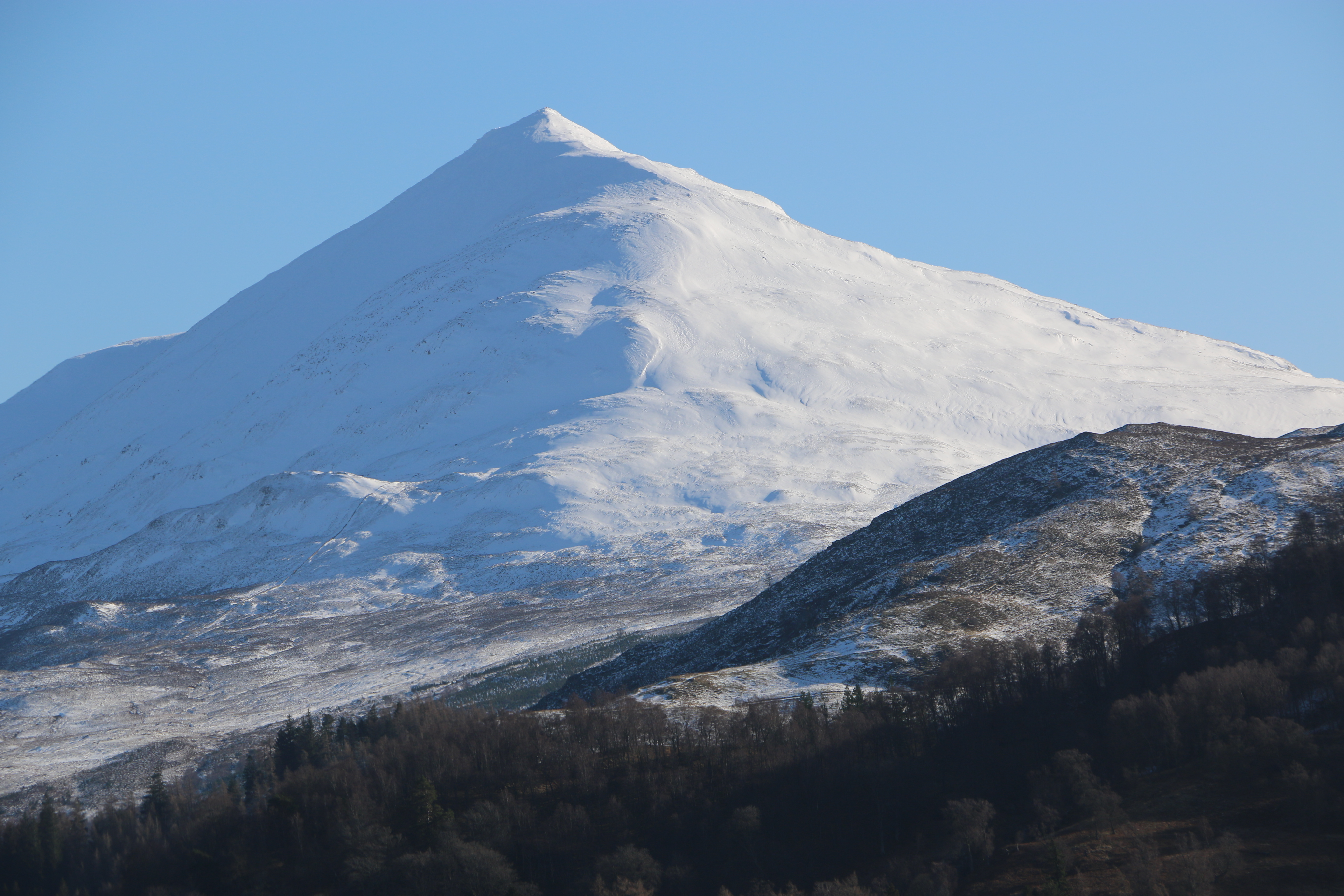
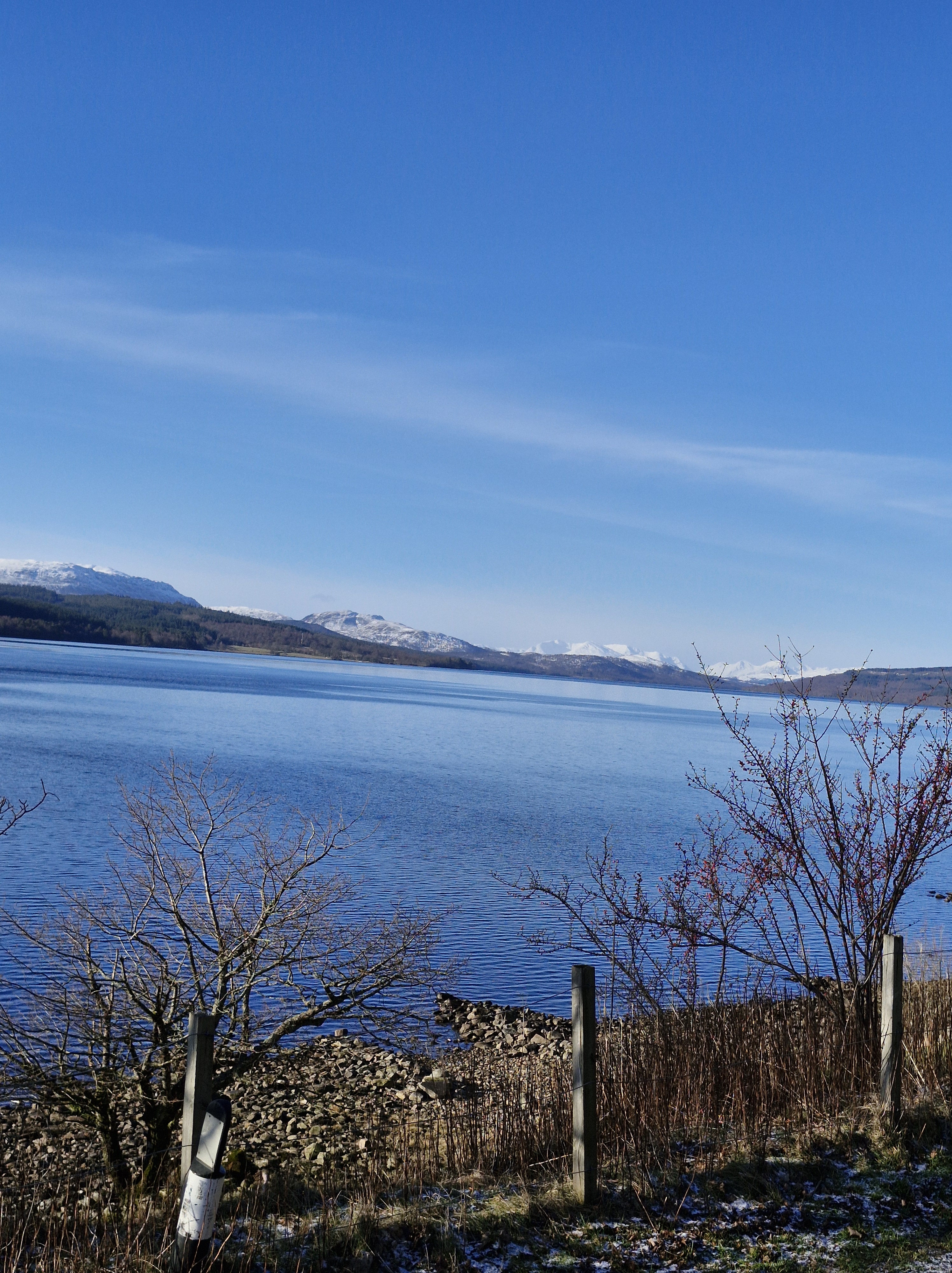
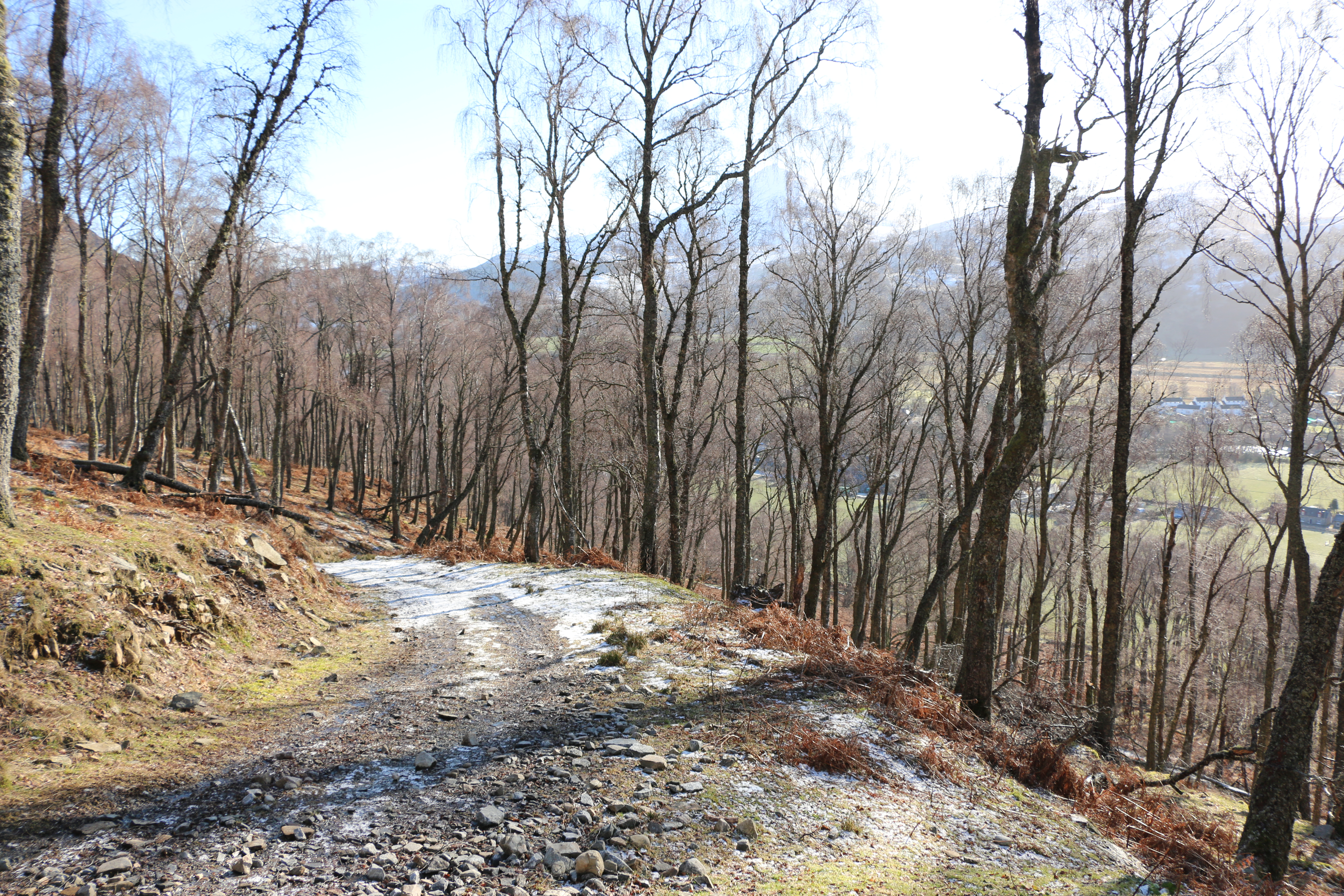
The walk passes the base of Schiehallion, one mountain we weren’t tempted to climb. Though the Photographer was so impressed by the symmetry of it he took many photographs.

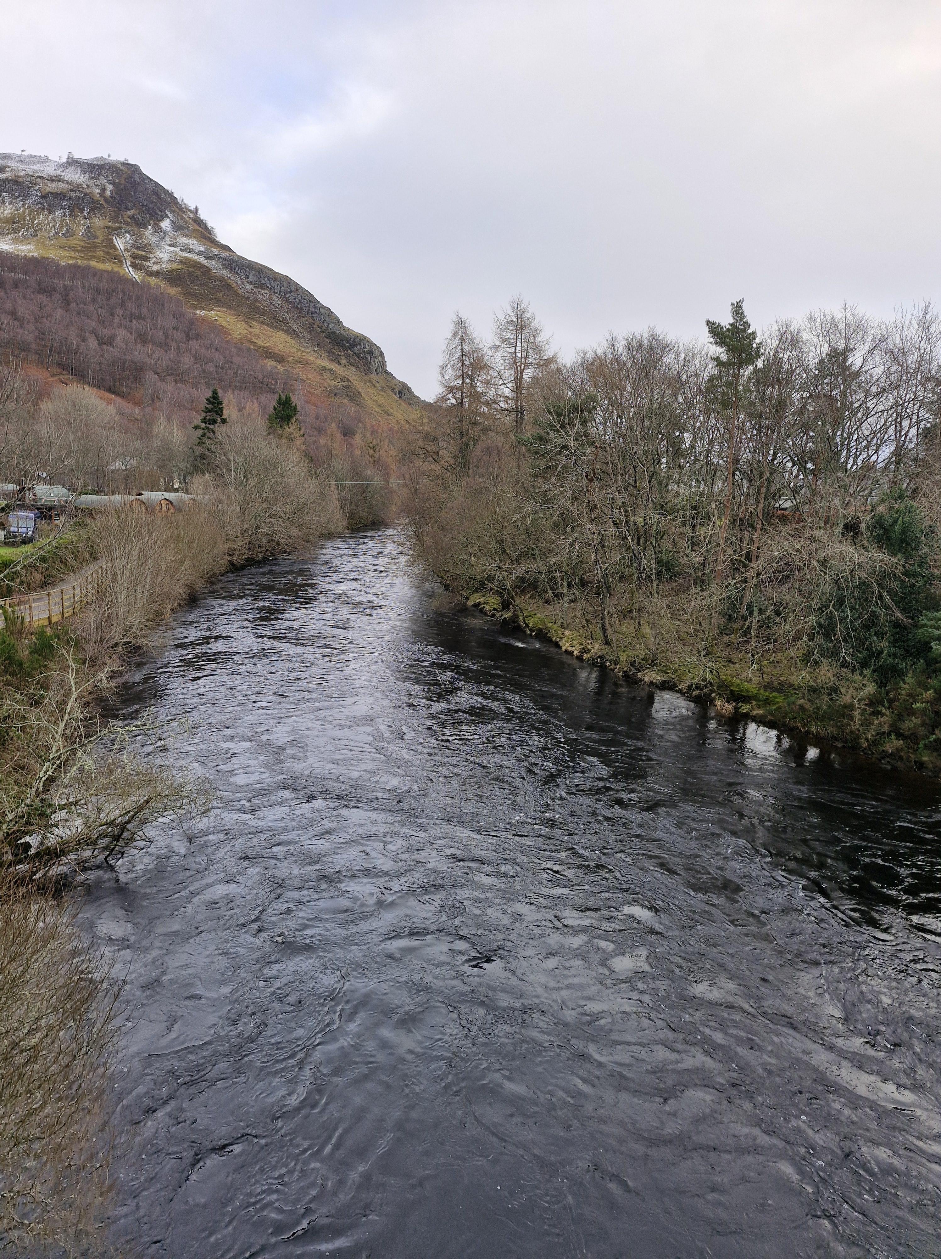
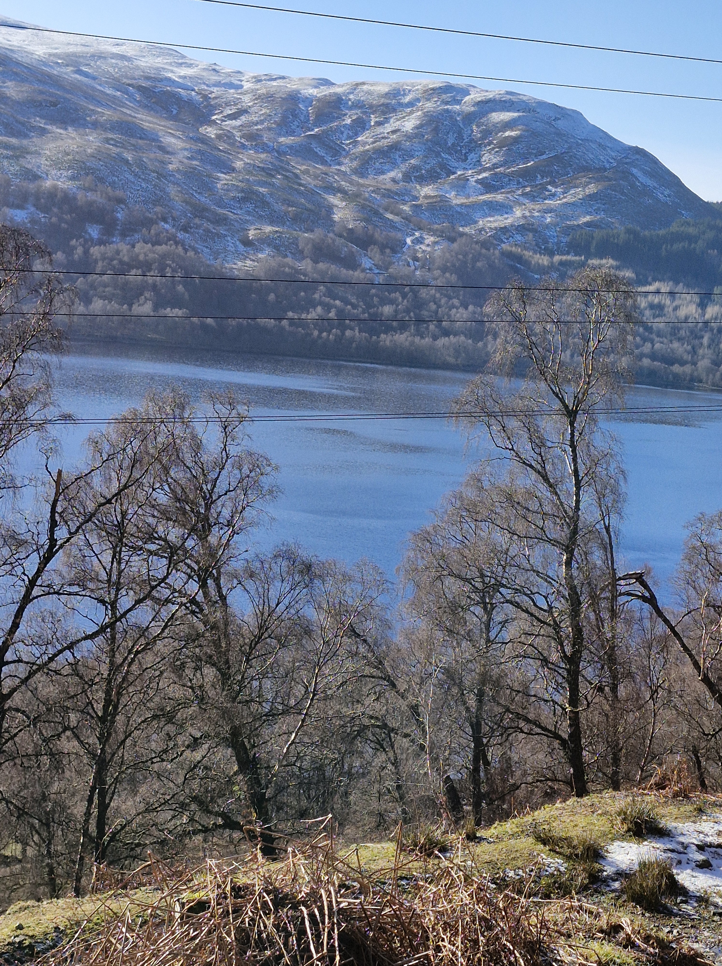
And back to the village. Triangle completed, a lovely easy stroll. We crossed the bridge over the Tummel River. The water was high and deep, swiftly running after all the many previous weeks’ rain.

There’s an inscription on Rannoch Bridge that reads “THIS BUILDING ERECTED A.D. 1764 AT THE SOLE EXPENSE OF HIS MAJESTY OUT OF THE ANNEXED ESTATES”. It’s obviously propaganda intended to show the personal generosity of George 111 after the 1745 Jacobite Rising when the British government confiscated the estates of Highland leaders who supported the rebellion. Though the profits gained were used to fund trade and agricultural developments in Scotland and, I guess, went someway, maybe, to improve stewardship of the estates forfeited.

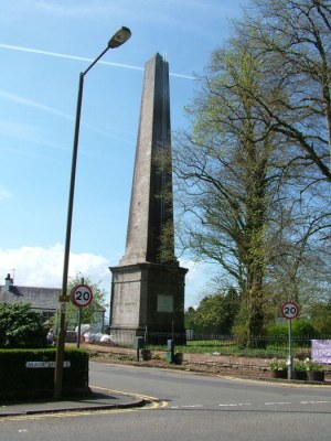
At the village square we stopped at the Buchanan monument, Dedicated to Dugald Buchanan (1716–1768), a famous Gaelic poet known for religious poetry, such as Judgement Day. He was crucial in translating the New Testament into Scottish Gaelic and operated a school in the area.

Previously, this was also the site of gallows.

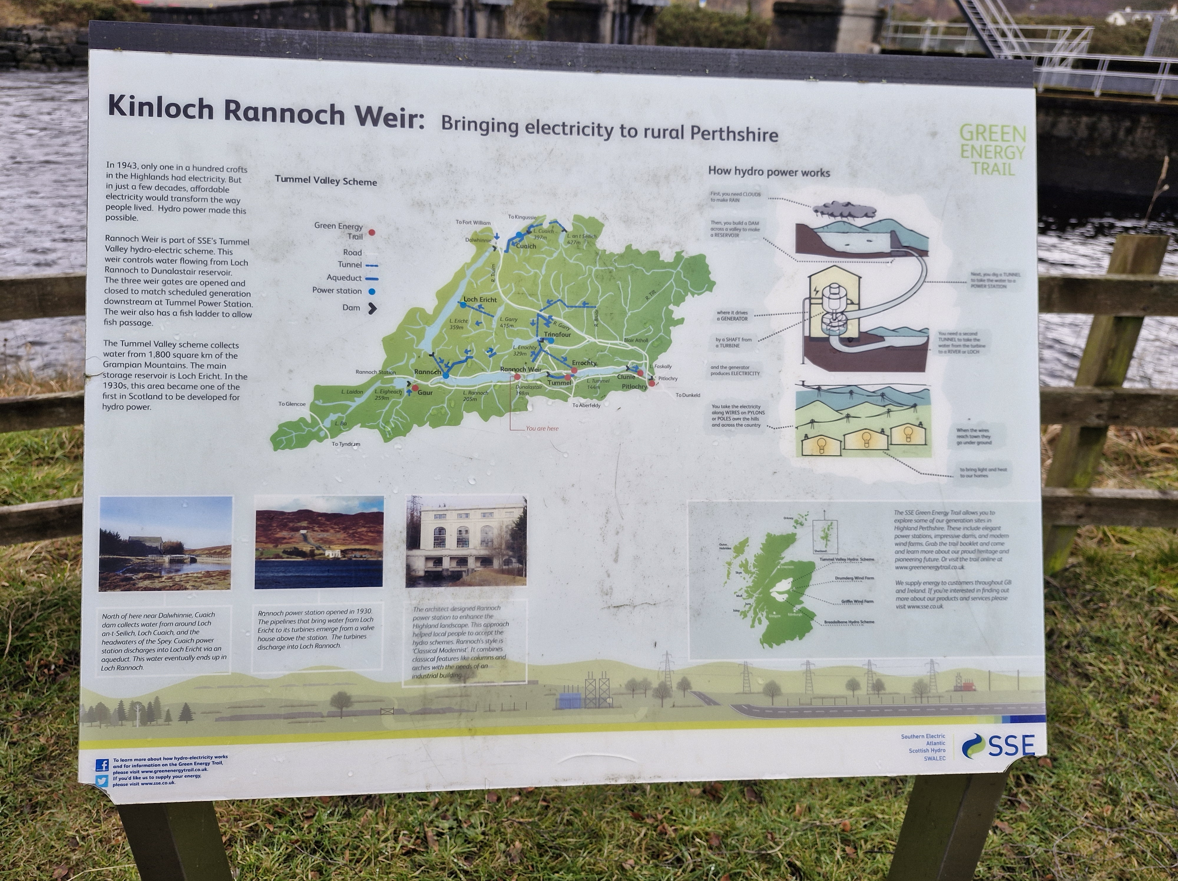
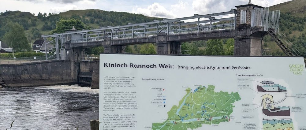
And then took the path alongside the Tummel river, past the weir. Kinloch Rannoch Weir is a low-level dam located at the eastern end of Loch Rannoch, and controls the outflow of water into the River Tummel towards Dunalastair Reservoir. As part of the wider Tummel Hydro-Electric Scheme, it regulates loch levels for environmental and power generation purposes. It is a Grade B listed structure and is believed to date back to the 18th century.

A short walk, but one that gave us a chance to discover a little of the history of Kinnloch Rannoch.

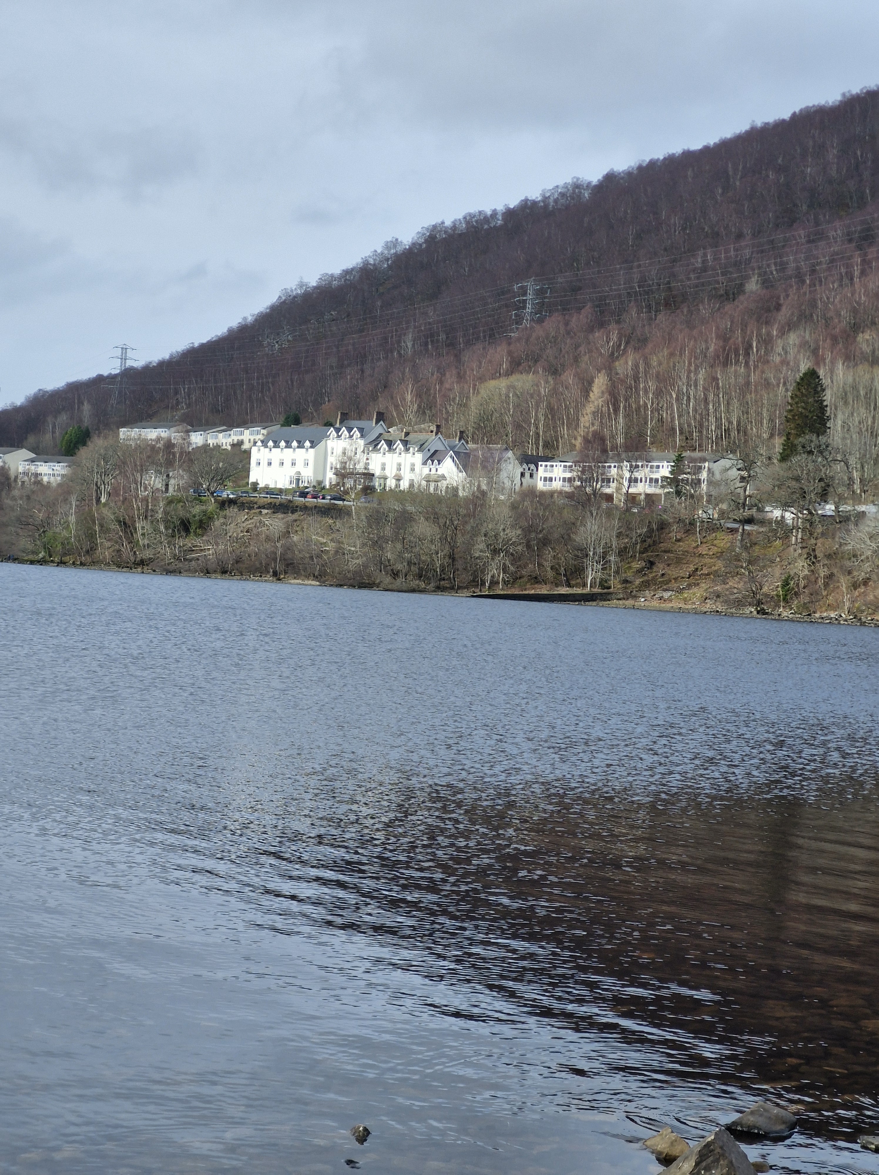
Arriving back at lodges that evening, we treated ourselves to a meal at the Loch Rannoch Highland hotel, the independently-owned hotel that’s on the same site as the club. We could have used the pool and spa there, but not having brought our swimsuits – well we forgot, it was February after all – we didn’t. However we did have some excellent food there.

My Review of How I Became a Sailor in Three Lessons & Other Stories: 2025 Anthology: by Isle of Arran u3a Writing Group (Isle of Arran u3a Anthology Book 2

And a mention of their first Anthology:The Wife, the Mistress, and the Guinea Pig & Other Stories

Having been a member of the U3a for some time, I have discovered the value of being able to join in with the many groups and events. I also run a monthly creative writing group.

 So, some time ago, I was thrilled to learn that there is a U3a on Arran; an island I’ve been lucky enough to stay on and which is close to my heart because of the wonderful memories and friends I’ve made there. When I discovered in 2023 that the writers’ group had produced an anthology: The Wife, the Mistress, and the Guinea Pig & Other Stories, I read and wrote a brief review:

This is the first anthology written by the u3a writers on the Isle of Arran, and is a wonderfully engaging read encompassing short stories and poetry, with the underlying theme of ‘lives lived’, in brilliant descriptive detail. Nostalgic, reminiscent, sometimes humorous – but always enjoyable – this is an easy read, a ‘pick up and dive in!’ collection, with the occasional photograph and charming image. Highly recommended … to any reader who wants to be entertained.”

 And now the group has written and published their second anthology, and it is equally enjoyable.

How I Became a Sailor in Three Lessons & Other Stories: 2025 Anthology: by Isle of Arran u3a Writing Group (Isle of Arran u3a Anthology Book 2

I’ll mention a few of my favourite reads in the book.

One piece of writing made me quietly envious – that of Alaster Milne’s view of life on Arran – which is that time on the isle is “ish;” there is a relaxed attitude to time. As he says: “Time on Arran is relative … it’s the Arran way of life that defines where we live.”

 And there is both humour and an astute observance on human nature from A.V Dunne, both in poetry and prose. I laughed out loud reading one piece on not being “cut out for the twenty-first century” and could empathise with her Rage Against Age.

I loved revisiting Barb’s Do Not Wash Hands in Plates and her dealings with Delhi Belly and toothache. And then there is Lockdown, a bad knee, and a walking cane – even as I sympathised I’m afraid I chuckled. I hasten to add here that it is always the way she writes, Barb has a tremendous capacity of seeing the funny side of life, whatever happens.

 I also enjoyed Helen McIntosh’s and Tom Kelly’s memoir contributions (memoirs are a favourite genre of mine), and the gentle writing of Marshal Ross.

There is an Arran in one hundred words section. Flash fiction is a brilliant writing discipline and all these pieces are fun and interesting to read.

 And the black and white illustrations from photographs and drawings, throughout the anthology, from another U3a group, the photographers, add a lovely flavour to the writing.

 Finally, there is an explanation of the University of the Third Age (U3a), and a description of the Arran U3a was formed in 2019. I was fascinated to learn that there are over a thousand chapters of people who, having retired, are still sharing experiences and expertise.

Where We Walked Loch Rannoch #Perthshire #Scotland #walks #photographs

After our venture onto Craig Varr we decided to take an easier walk alongside Loch Rannoch.

Loch Rannoch is glorious: set in one of the most peaceful areas we’ve ever been fortunate to visit, it’s a freshwater loch. Long and narrow it was carved out by glaciers during the last Ice Age. At a circumferance of twenty-two miles or thereabouts I balked – just a little – at the thought of walking all the way around.

We could go halfway,’ the Photographer suggests. I’m not daft; halfway means turning round and we’d still be treking twenty-two miles. And, as the loch is a mile wide, and it’s February, swimming across the water back to the lodge we’re staying at is definitely out of the question.

And I wasn’t going to trust the abandoned boat we discovered. I wasn’t surprised its name was Mr Moody!!

So, in the end, it was a short, and very pleasant stroll.

Later that evening we settled down on the balcony of the lodge, with a glass of wine, to watch the sunset over the loch.

There are many legends and stories of Loch Rannnoch and the surrounding areas.

We particulary enjoyed the following::

The story of the sword that lies in the depths of Loch a’Chlaidheimh (The Loch of the Sword) in Rannoch.

There were two clans that resided on Rannoch Moor: the Camerons, and the Rannochs. Frequently, these clans would clash over the ownership of Beinn a’bhric, a valuable grazing ground. Year in, and year out, the two clans would come to loggerheads over who owned the land and whose livestock had the right to graze there. Year in, and year out, no solution was reached, and the issue only increased the rift between the two factions with each passing season.
Eventually, the two parties decided that enough was enough, and it was time to, at last, put an end to the conflict. So it was that Ewen Cameron of Lochiel and the Earl of Atholl decided to meet and they would not part until the boundaries of their lands were decided once and for all. In order to avoid potential violence, the meeting was to be arranged under specific conditions: each man would venture alone, with only one piper for company.
So Cameron set off, piper at his back playing a merry tune, setting a positive mood for what he hoped would be a productive meeting. As he travelled through Rannoch Moor, Cameron thought deeply about the confrontation at hand, concocting an iron-clad argument that might win him the grazing grounds. So deep in thought he was, that he hadn’t noticed striding straight onto the land of an infamous wise woman who lived upon the moor, known as The Blue-Eyed One.
‘You are going to meet the Earl of Atholl without any men?’ she asked, askance.
‘Aye, lady, I am,’ said Cameron. ‘Those were the terms of our agreement.’
The Blue-Eyed One shook her head ‘Do not meet the Earl alone, man. Take sixty five of your best men, and hide them among the heather, ready to be called, should you need them.’
Cameron was swayed by the old woman’s words, as she was known for her wisdom and sight. So, Cameron did as she had suggested, and called his sixty five best men to his side, and ordered them to conceal themselves in the heather, and to be ready should the Earl of Atholl look to turn violent. When the sun reached its zenith, the two proud leaders approached each other on the seemingly empty moor.
The discussions opened with the easy exchange of pleasantries, and progressed swiftly to the matter at hand. Where at first it appeared the pair would remain cordial, the exchange heated as the boundary was debated, working up to an inferno, until the men were shouting and drawing their swords upon the other. It was then, that the Earl of Atholl whistled, and from the moor behind him sprung fifty soldiers, armed and ready to defend their master.
‘These are the Atholl sheep coming to eat the Lochaber grass!’ the Earl of Atholl cried.
And so, Cameron, grateful for the words of the Blue-Eyed One, whistled, and his own men sprung from the heather. ‘Here are the Lochaber hounds going to eat the flesh of the Atholl sheep!’ he responded.
The Earl of Atholl sized up Cameron’s forces, but he could only admit that Cameron’s hounds outnumbered his sheep, and reluctantly, he sheaved his sword and called his men down. He bent his head, renounced the contested lands, and, as a signifier of the deal struck and the peace that would come from it, he hurled his blade into the loch.
There, the sword remained. That was until 1812 during a long, dry summer, when a herd-boy was working that same old disputed land. The loch had drained with the drought, unveiling the sword cradled in its peaty belly. For a time, the sword was removed and ogled by the locals, until a blue eyed woman who lived nearby told them a tale of a conflict solved by the throwing of a sword, and so it was decided the sword should be returned to the Loch of the Sword.
Seton Gordon described the moment the sword was thrown once more into the depths: ‘For an instant as it sped, its trusty blade turned to glowing bronze in the sunlight, then, like Excalibur, it sank forever from sight!’

©A.D. Cunningham – Adapted from Tales of Rannoch: Publisher: ‎ A.D.Cunningham and Perth & Kinross District Libraries

Where We Walked Craig Varr Kinloch Rannoch Loch Rannoch @Scotland #walks #photography #mountains #lochs

Craig Varr is a truncated spur; a ridge cut off by the glaciers of the last ice age around ten thousand years ago. The result of the ice erosion is a cliff close to Kinloch Rannoch and a ridge that leads northeast to Beinn a’ Chuallaich (Mountain of the Herding”) .

Craig Varr – the first walk that the Photographer had identified when we knew we were going to Kinloch Rannoch. We perhaps should have taken notice of the warning: ‘Very steep initial ascent on a wide path; then pathless and boggy for a section before a final rough ascent’,

Especially when, on the day we arrived, it snowed!

But the Photographer was keen – very keen – to take some photographs, particularly of the mountain to the south, the triangular profile of Schiehallion. He was convinced that if we could climb only a short way up to Craig Varr, he would get a decent phtograph. As you can see, he did!

We often forget how old we are. And it was with this oblivious attitude that we set off in hiking boots and with poles.

We left mid morning: the snow had disappeared from the roads, the sun shone, the air was quite warm, and from the path overlooking the loch it felt like a lovely Spring day, despite it only being February.

Against the clear sky the loch was impressive through the trees.

The Photographer stopped often to take photos.

The track, though rough, was easy at first. We resolved to walk as far as it proved so.

But soon we encountered more snow and ice

Common sense kicked in – we turned back. The climb would be for another day, preferably a long summer’s day. Or at least a day when there wasn’t any snow.

Back at the lodge we agreed that tomorrow’s walk would be on lower ground – probably around the loch.

N.B. For interest:

Schiehallion: the mountain that weighed the Earth

This superb quartzite mountain was chosen in 1774 as the site of a famous experiment to weigh the Earth; today it is an unrivalled viewpoint.
Six to seven hundred million years ago the area that now forms the Grampian Highlands was a shallow sea. Layer upon layer of sediment was formed from mud eroded from the land, white quartz sands, and limy deposits. As these layers were buried and compressed, they became mudstone, sandstone and limestone. At that time Scotland was at the edge of a continent which included North America, separated by the deep Iapetus Ocean from the rest of Europe. Plate tectonic movements closed this ocean 470 to 430 million years ago, subjecting the buried rocks to great heat and pressure. Mudstone became schist and slate; sandstone became very hard, creamy-white quartzite; all were folded and fractured in complex patterns. At the end of these earth movements the rocks were uplifted to form the Caledonian Mountains.
Perhaps one of the most amazing things about Schiehallion is that this folding and fracturing of the rock layers is so pronounced in the area around the mountain that the mountain itself is almost ‘upside-down’! In other words, the older rock layers can be found at the top of the mountain and the younger layers at the bottom.
Several different rock types can be seen on the main path up Schiehallion,. You may come across a limestone pavement with water-worn fissures and potholes. Locally, these limey soils support unusual plants. The same rock can be seen in quarries and a restored 19th century lime kiln at Tomphubil. . Most of the ridge is grey to white quartzite, with current bedding in a few places and an occasional band of pinkish brown microdiorite. In the Tempar Burn to the northwest is the famous Schiehallion Boulder bed, an ancient glacial tillite.
During the Ice Ages of the last two million years, glaciers flowed east from Rannoch Moor, carving the hard quartzites of Schiehallion into a streamlined ridge and digging deep valleys on either side. The ice has carried blocks of granite and schist, and dropped them all the way along the east ridge, up to a height of about 980m. From there to the summit the path goes over bedrock with only local quartzite boulders.
The experiment of 1774 to weigh the Earth involved measuring the deflection of a plumb line resulting from the gravitational pull of a nearby mountain. Schiehallion was considered the ideal mountain, due to its isolation and almost symmetrical shape. The tiny deflection of a plumb-line from the vertical must be measured relative to the fixed background of the stars, which requires extremely careful measurements on either side of the mountain. The mass of the mountain can be worked out from its volume and the density of its rocks. These values can be used to find the gravitational pull of the Earth, and thus its mass.

Text contributed by Carol Pudsey for https://www.scottishgeologytrust.org/